Elevation of Vida, MT, USA
Location: United States > Montana > Mccone County >
Longitude: -105.49305
Latitude: 47.8319584
Elevation: 723m / 2372feet
Barometric Pressure: 93KPa
Elevation Map:
Satellite Map:
Related Photos:
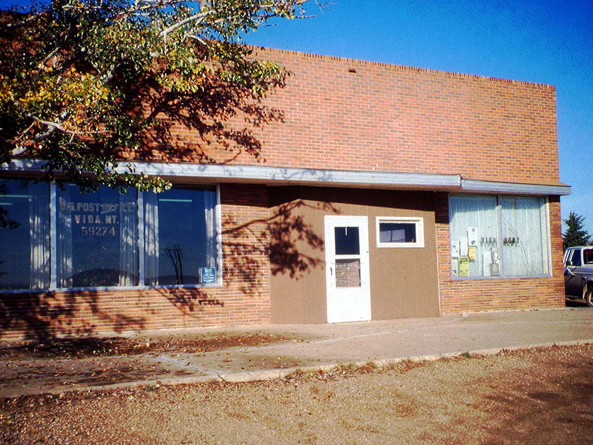
Vida, Montana 59274

2014-12-31 14-22-34 0110

2014-12-31 14-19-11 0108
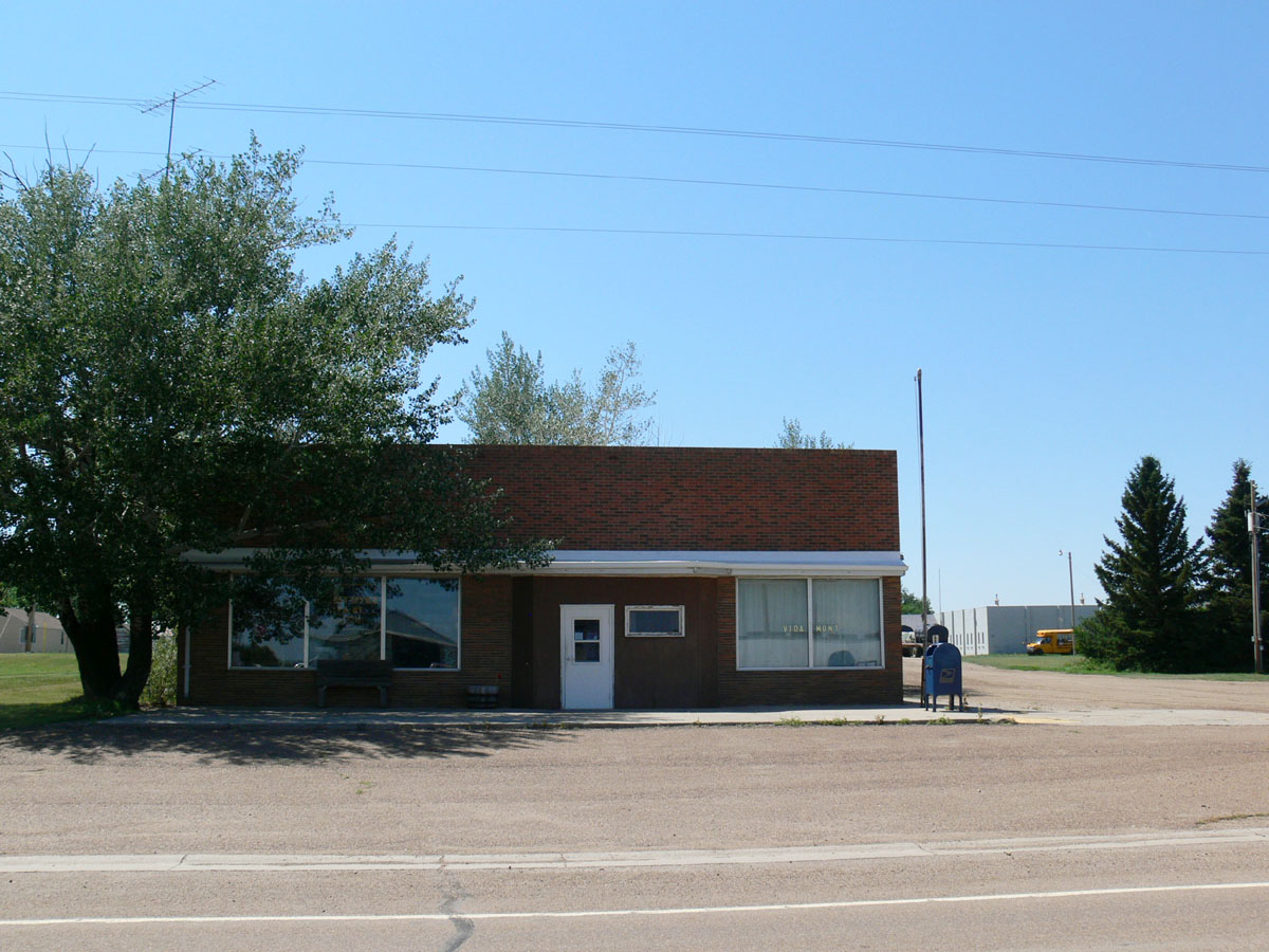
Vida, Montana 59274
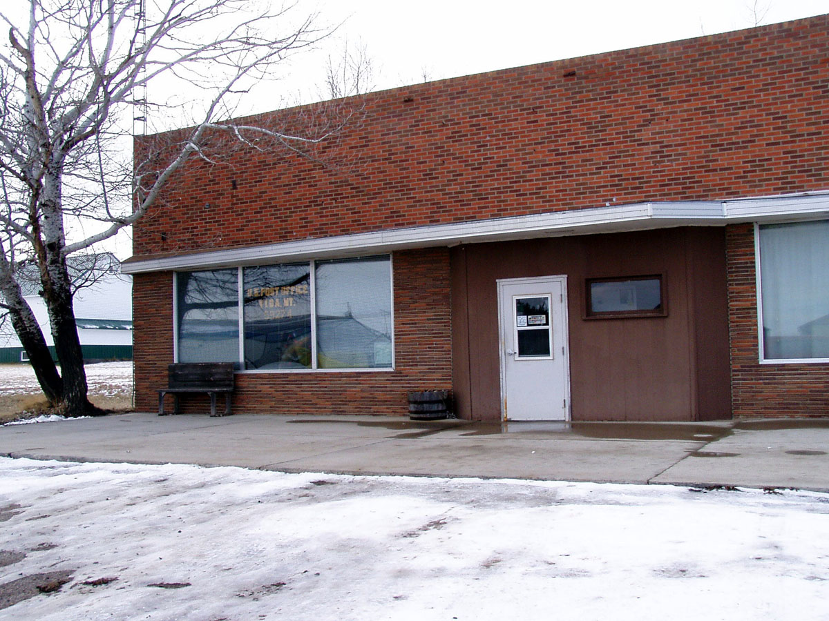
Vida, Montana 59274
Topographic Map of Vida, MT, USA
Find elevation by address:

Places in Vida, MT, USA:
Places near Vida, MT, USA:
MT-13, Vida, MT, USA
Wolf Point
Frazer
1415 Frazer-richland Rd
Oswego Rd N, Frazer, MT, USA
Nashua
552 Nashua Blvd
Daniels County
Fort Peck
224 Fladager Rd
Peerless
Glasgow
1st Ave N, Glasgow, MT, USA
Railroad Ave, Glentana, MT, USA
Shipp Rd, Glasgow, MT, USA
1 Ave S, Coronach, SK S0H 0Z0, Canada
Coronach
MT-24, Nashua, MT, USA
3953 Mt-24
Opheim
Recent Searches:
- Elevation of Corso Fratelli Cairoli, 35, Macerata MC, Italy
- Elevation of Tallevast Rd, Sarasota, FL, USA
- Elevation of 4th St E, Sonoma, CA, USA
- Elevation of Black Hollow Rd, Pennsdale, PA, USA
- Elevation of Oakland Ave, Williamsport, PA, USA
- Elevation of Pedrógão Grande, Portugal
- Elevation of Klee Dr, Martinsburg, WV, USA
- Elevation of Via Roma, Pieranica CR, Italy
- Elevation of Tavkvetili Mountain, Georgia
- Elevation of Hartfords Bluff Cir, Mt Pleasant, SC, USA