Elevation map of McCone County, MT, USA
Location: United States > Montana >
Longitude: -105.88107
Latitude: 47.4500913
Elevation: 835m / 2739feet
Barometric Pressure: 92KPa
Elevation Map:
Satellite Map:
Related Photos:
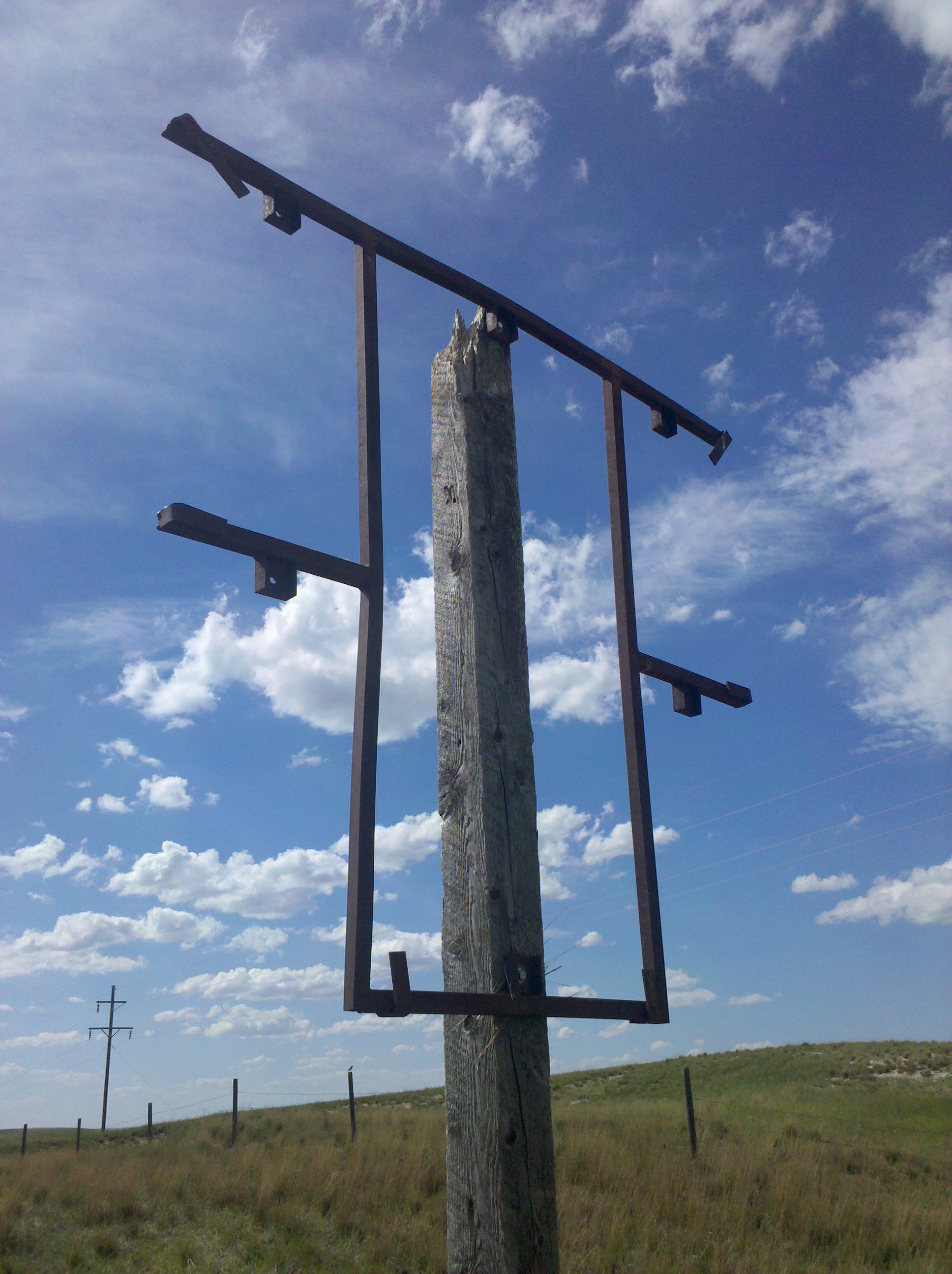
I saw quite a few of these today
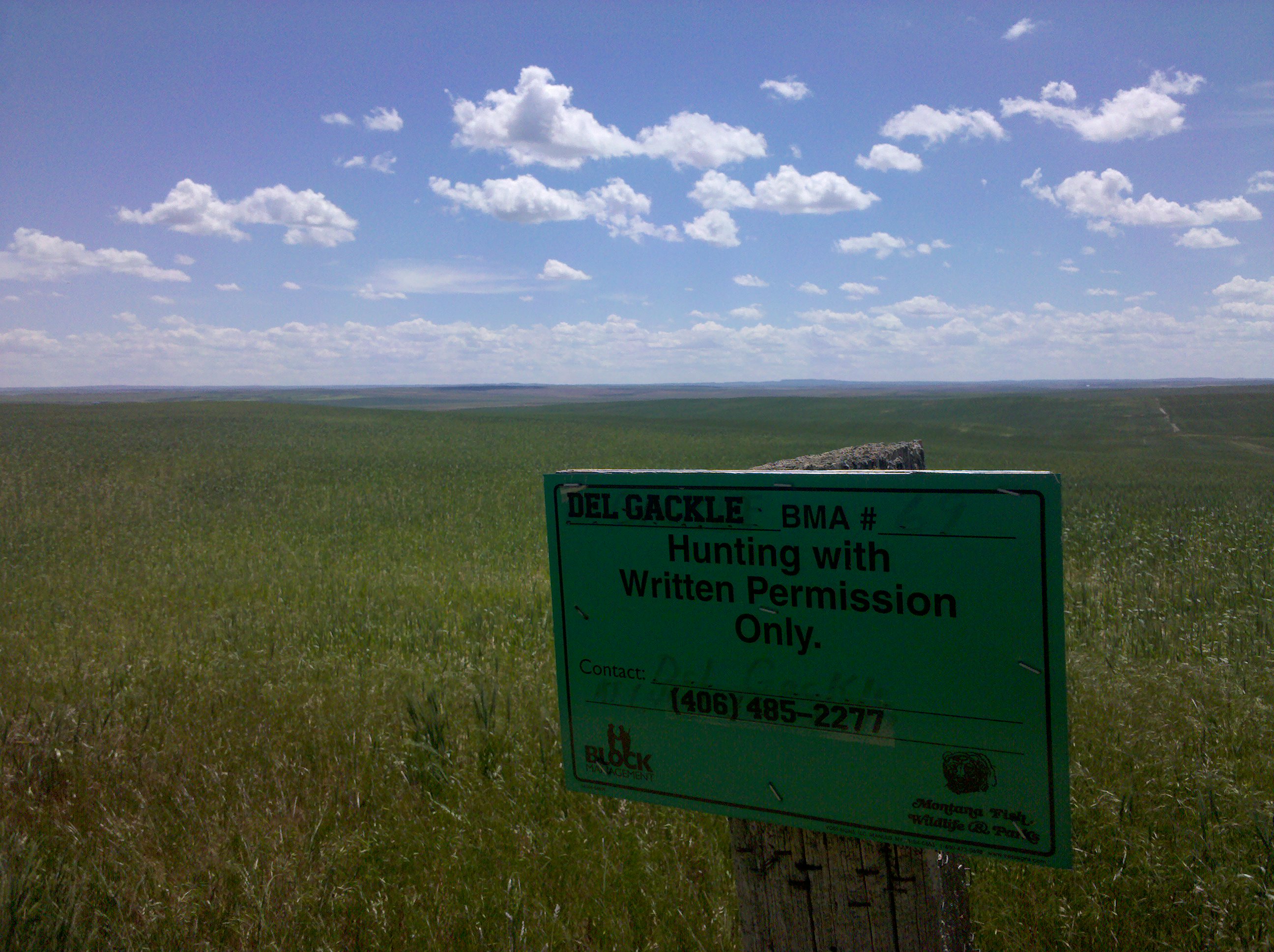
The Del Gackle Ranch
Topographic Map of McCone County, MT, USA
Find elevation by address:

Places in McCone County, MT, USA:
Places near McCone County, MT, USA:
Brockway
Mt Highway 13, Circle, MT, USA
Circle
49 Brockway East Rd
Nelson Creek Road
Cherry Creek Rd, Miles City, MT, USA
1550 2 Furrow Rd
W Old Hwy 10, Terry, MT, USA
Miles City
1 Palmer St, Miles City, MT, USA
Recent Searches:
- Elevation of Corso Fratelli Cairoli, 35, Macerata MC, Italy
- Elevation of Tallevast Rd, Sarasota, FL, USA
- Elevation of 4th St E, Sonoma, CA, USA
- Elevation of Black Hollow Rd, Pennsdale, PA, USA
- Elevation of Oakland Ave, Williamsport, PA, USA
- Elevation of Pedrógão Grande, Portugal
- Elevation of Klee Dr, Martinsburg, WV, USA
- Elevation of Via Roma, Pieranica CR, Italy
- Elevation of Tavkvetili Mountain, Georgia
- Elevation of Hartfords Bluff Cir, Mt Pleasant, SC, USA