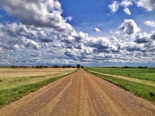
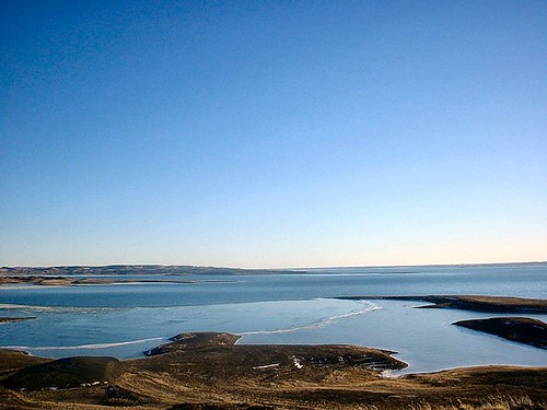
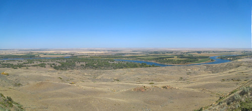
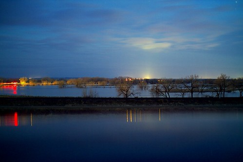
Elevation of Nashua Blvd, Nashua, MT, USA
Location: United States > Montana > Valley County > Nashua >
Longitude: -106.37031
Latitude: 48.1347522
Elevation: 628m / 2060feet
Barometric Pressure: 94KPa
Related Photos:
Topographic Map of Nashua Blvd, Nashua, MT, USA
Find elevation by address:

Places near Nashua Blvd, Nashua, MT, USA:
Nashua
Fort Peck
Glasgow
1st Ave N, Glasgow, MT, USA
Frazer
Shipp Rd, Glasgow, MT, USA
1415 Frazer-richland Rd
Valley County
MT-24, Nashua, MT, USA
Oswego Rd N, Frazer, MT, USA
3953 Mt-24
Opheim
Railroad Ave, Glentana, MT, USA
Wolf Point
Peerless
MT-24, Opheim, MT, USA
224 Fladager Rd
Daniels County
Vida
MT-13, Vida, MT, USA
Recent Searches:
- Elevation of Corso Fratelli Cairoli, 35, Macerata MC, Italy
- Elevation of Tallevast Rd, Sarasota, FL, USA
- Elevation of 4th St E, Sonoma, CA, USA
- Elevation of Black Hollow Rd, Pennsdale, PA, USA
- Elevation of Oakland Ave, Williamsport, PA, USA
- Elevation of Pedrógão Grande, Portugal
- Elevation of Klee Dr, Martinsburg, WV, USA
- Elevation of Via Roma, Pieranica CR, Italy
- Elevation of Tavkvetili Mountain, Georgia
- Elevation of Hartfords Bluff Cir, Mt Pleasant, SC, USA
