Elevation of Daniels County, MT, USA
Location: United States > Montana >
Longitude: -105.72487
Latitude: 48.7744137
Elevation: 817m / 2680feet
Barometric Pressure: 92KPa
Elevation Map:
Satellite Map:
Related Photos:

Harvest Cloud

Autumn Harvest

MTS-248 West - Peerless Jct.
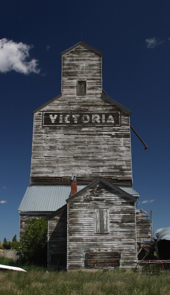
Peerless MT

Peerless MT

Peerless MT

Scobey, Montana
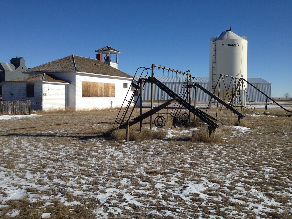
Four Buttes, Montana
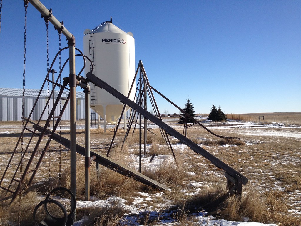
Four Buttes, Montana

Owl House
The High Flyer
Topographic Map of Daniels County, MT, USA
Find elevation by address:

Places in Daniels County, MT, USA:
Places near Daniels County, MT, USA:
224 Fladager Rd
Peerless
1 Ave S, Coronach, SK S0H 0Z0, Canada
Coronach
Oswego Rd N, Frazer, MT, USA
Rockglen
Railroad Ave, Glentana, MT, USA
1415 Frazer-richland Rd
Opheim
Wolf Point
MT-24, Opheim, MT, USA
3953 Mt-24
MT-24, Nashua, MT, USA
Frazer
Nashua
552 Nashua Blvd
MT-13, Vida, MT, USA
Vida
Shipp Rd, Glasgow, MT, USA
Fort Peck
Recent Searches:
- Elevation of Corso Fratelli Cairoli, 35, Macerata MC, Italy
- Elevation of Tallevast Rd, Sarasota, FL, USA
- Elevation of 4th St E, Sonoma, CA, USA
- Elevation of Black Hollow Rd, Pennsdale, PA, USA
- Elevation of Oakland Ave, Williamsport, PA, USA
- Elevation of Pedrógão Grande, Portugal
- Elevation of Klee Dr, Martinsburg, WV, USA
- Elevation of Via Roma, Pieranica CR, Italy
- Elevation of Tavkvetili Mountain, Georgia
- Elevation of Hartfords Bluff Cir, Mt Pleasant, SC, USA