Elevation of Victoria Ave, Rossburn, MB R0J 1V0, Canada
Location: Canada > Manitoba > Division No. 16 > Rossburn >
Longitude: -100.81748
Latitude: 50.6685011
Elevation: 590m / 1936feet
Barometric Pressure: 94KPa
Elevation Map:
Satellite Map:
Related Photos:

Manitoba, you surprise me, with your beautiful rolling hills and deep blue skies. What a view! #homeiswhereyouparkit #crosscountryroadtrip #2birdsinavan #vanlife #travel #manitoba
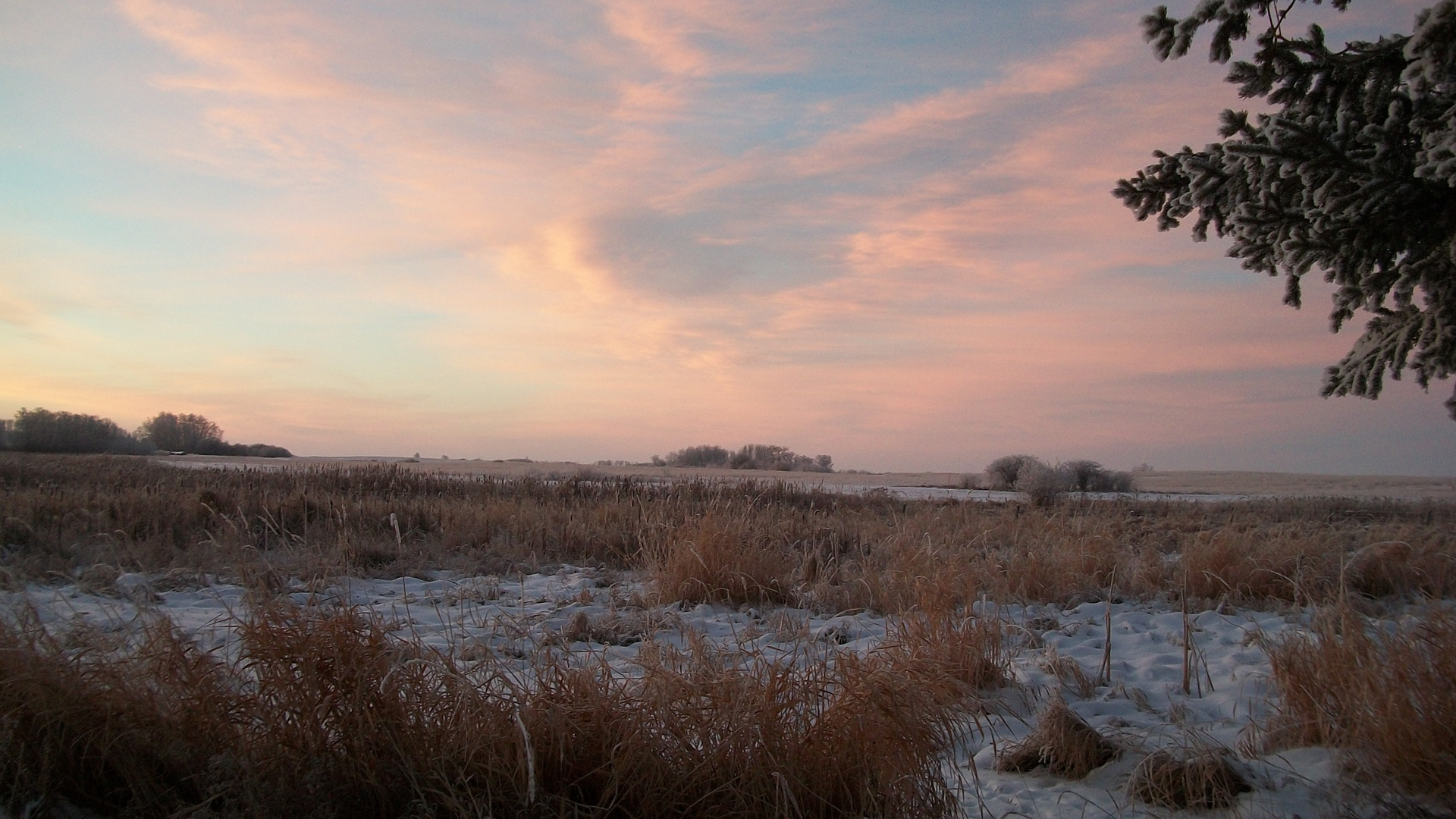
December Morning, Betty Budz of Rossburn, MB

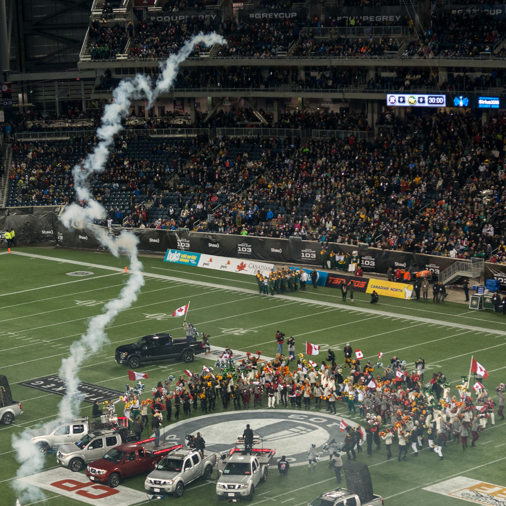
103rd Grey Cup 2015 - Winnipeg
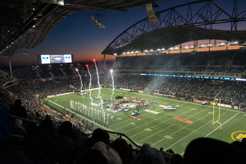
103rd Grey Cup 2015 - Winnipeg
DSC_1357.jpg

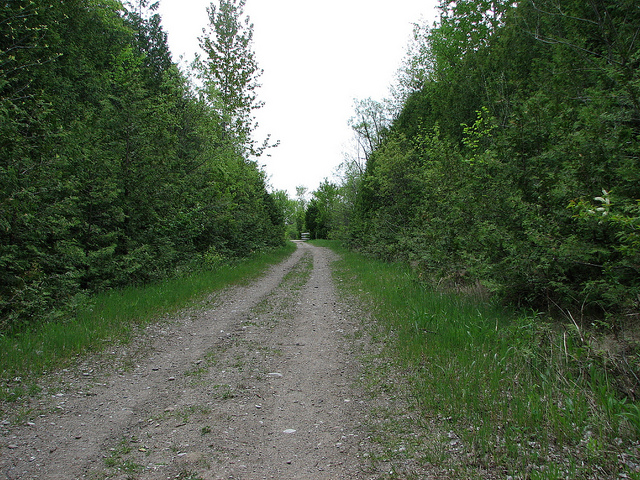
The Halfway House

le givre était superbe ce jour là
TransCanadaTrail Map
Angusville-3860
Topographic Map of Victoria Ave, Rossburn, MB R0J 1V0, Canada
Find elevation by address:

Places near Victoria Ave, Rossburn, MB R0J 1V0, Canada:
Rossburn
Rossburn
Olha
Park (south)
Horod
Division No. 16
Division No. 17, Unorganized
Baldy Mountain
57 Victor Ave
48 Poplar Ave
Riding Mountain National Park
127 Country Side Dr
Wasagaming
Dauphin
7 Ave NE, Dauphin, MB R7N 0W2, Canada
Division No. 17
Mountain (south)
Division No. 20
Recent Searches:
- Elevation of Corso Fratelli Cairoli, 35, Macerata MC, Italy
- Elevation of Tallevast Rd, Sarasota, FL, USA
- Elevation of 4th St E, Sonoma, CA, USA
- Elevation of Black Hollow Rd, Pennsdale, PA, USA
- Elevation of Oakland Ave, Williamsport, PA, USA
- Elevation of Pedrógão Grande, Portugal
- Elevation of Klee Dr, Martinsburg, WV, USA
- Elevation of Via Roma, Pieranica CR, Italy
- Elevation of Tavkvetili Mountain, Georgia
- Elevation of Hartfords Bluff Cir, Mt Pleasant, SC, USA