Elevation of Park (South), MB R0J, Canada
Location: Canada > Manitoba > Division No. 15 >
Longitude: -100.43386
Latitude: 50.6700807
Elevation: 617m / 2024feet
Barometric Pressure: 94KPa
Elevation Map:
Satellite Map:
Related Photos:
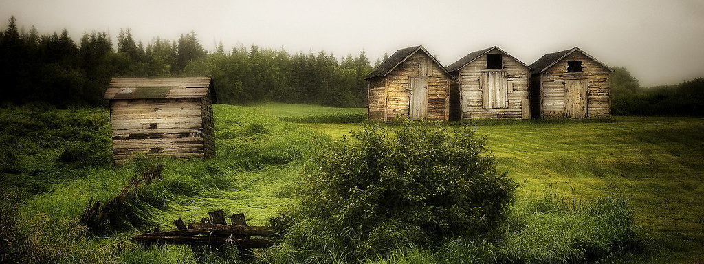
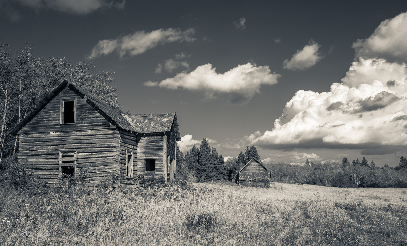
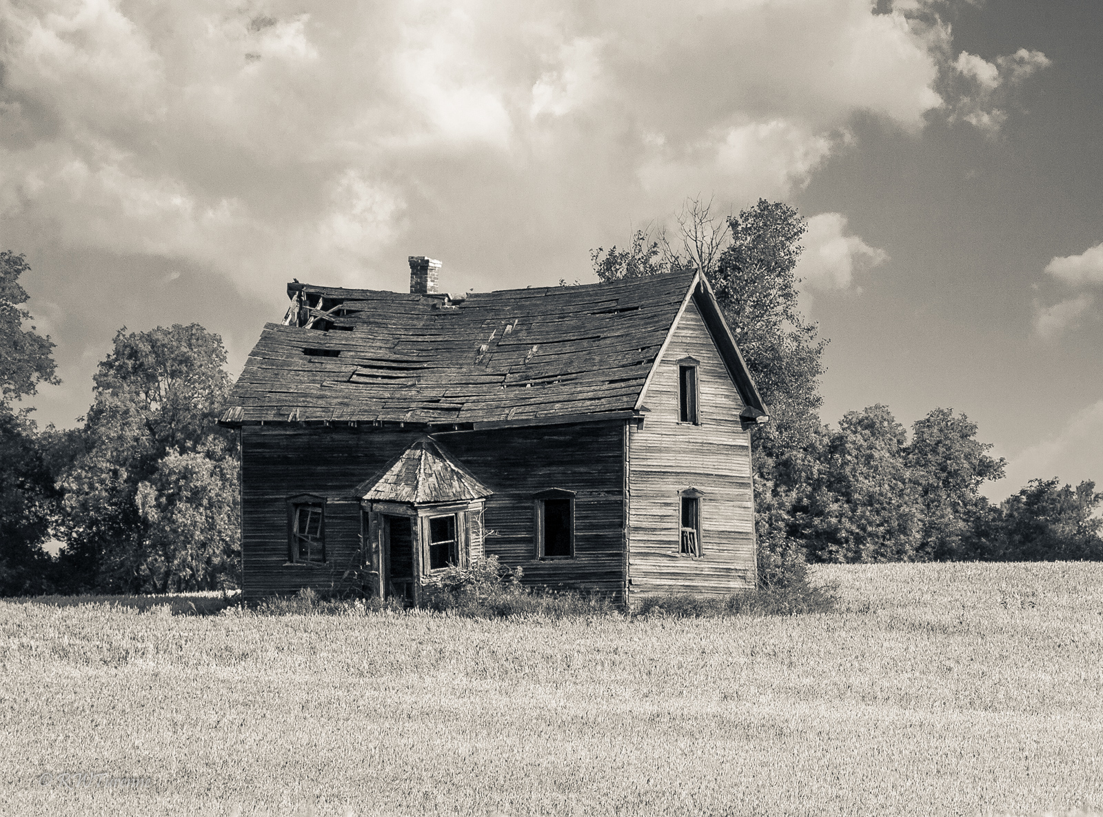
Riding Mountain National Park ~Explore 5 Jul 2014
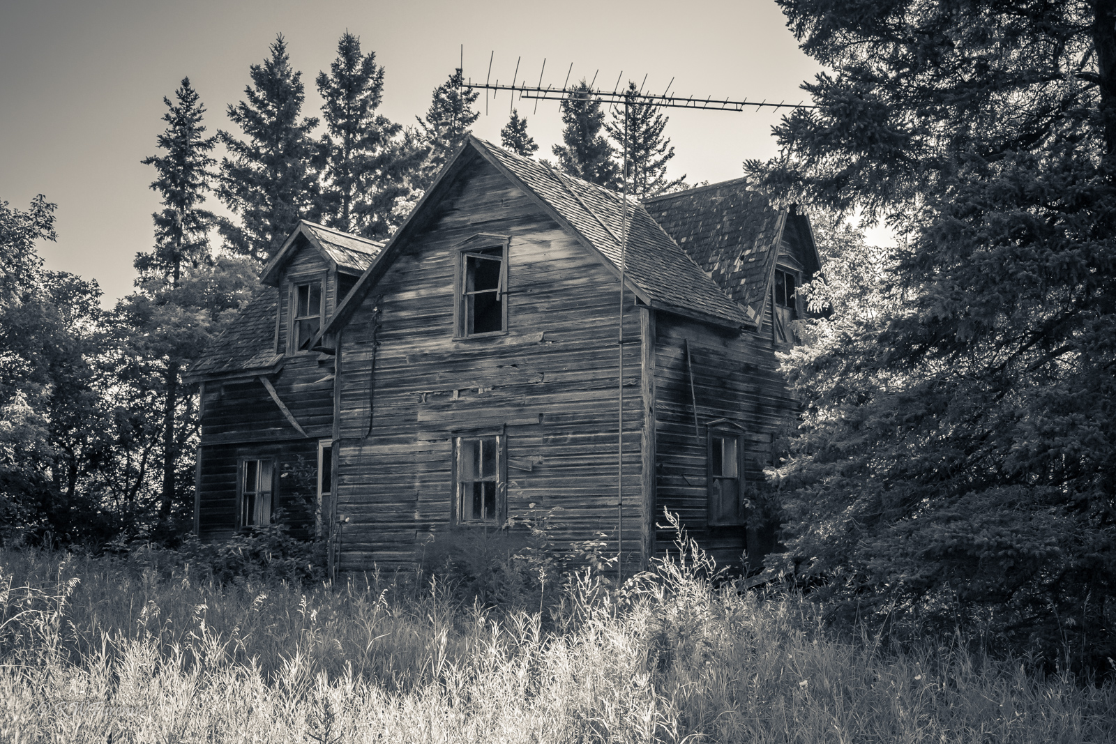
The TV House

The Wood Stove House
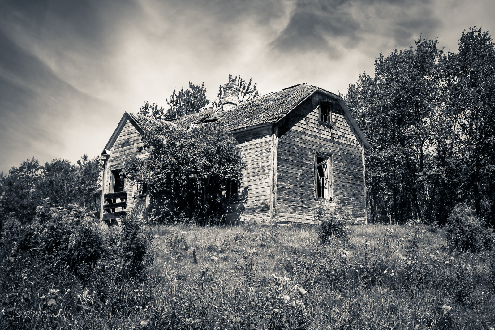
The Homestead
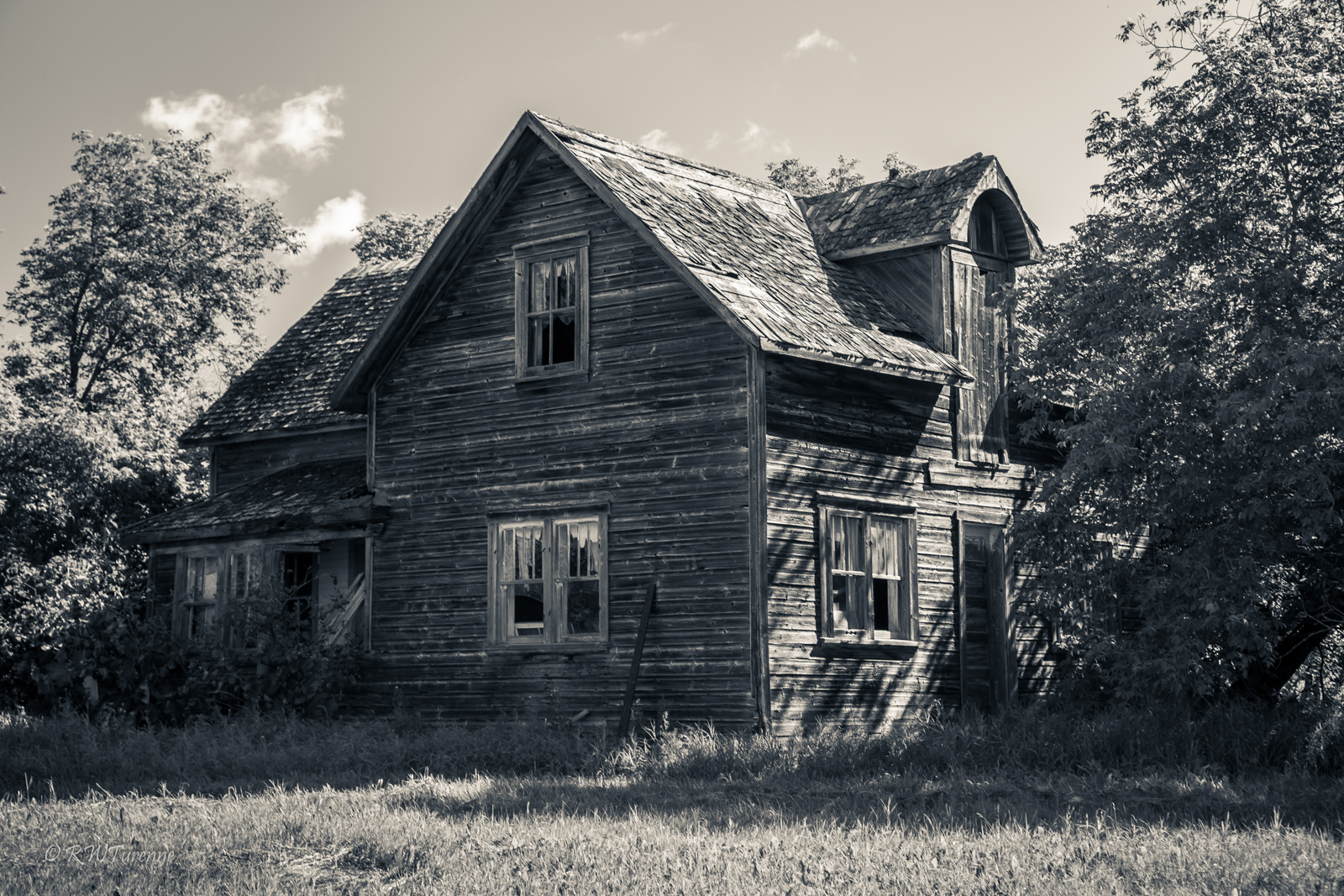
House On Hill
Close to Home
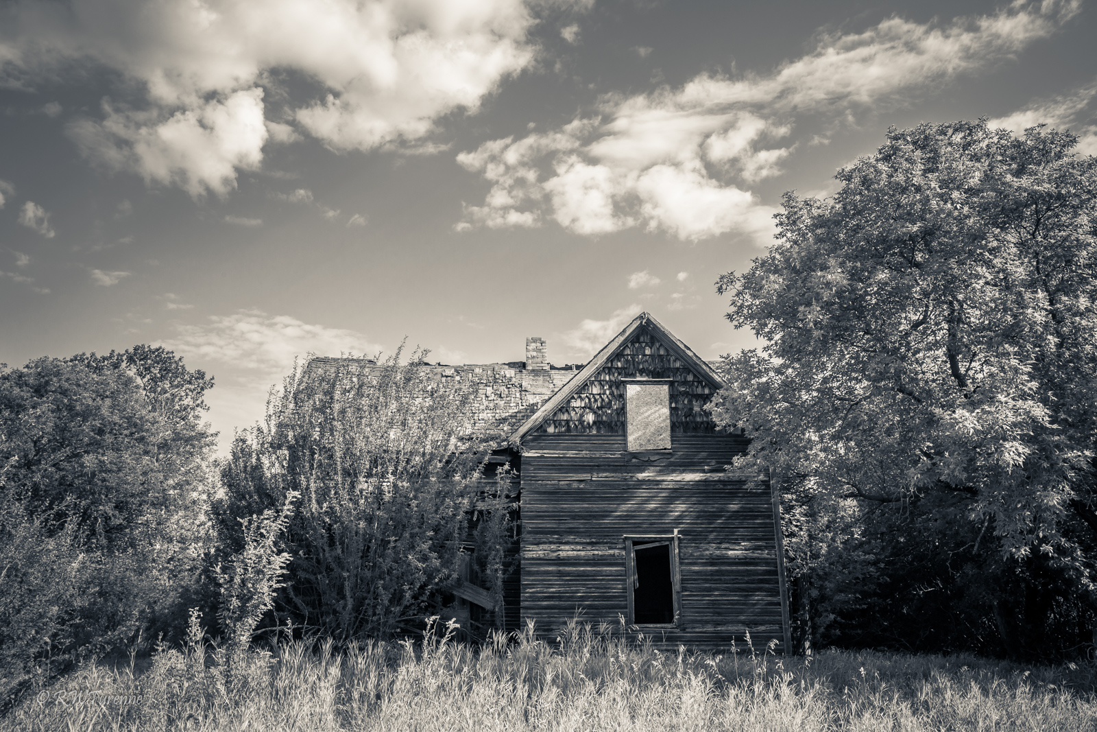
The Square House
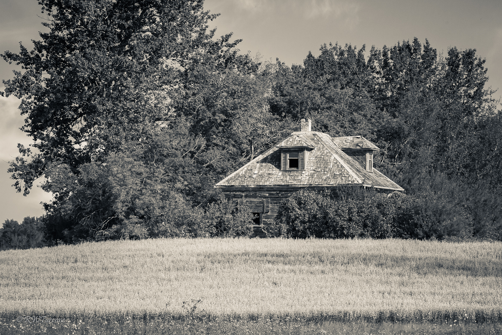
The Hidden House
The Cowpie House

Ahmed och Saska

Olha 4
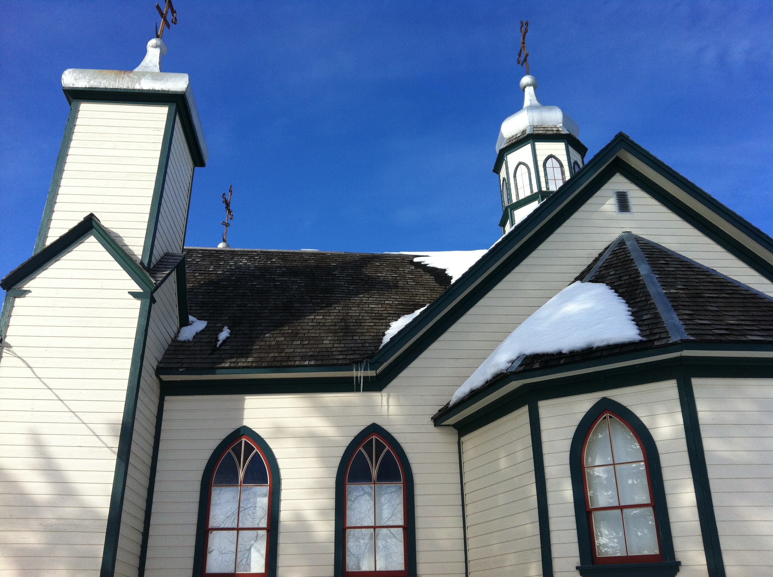
Eglise ukrainienne
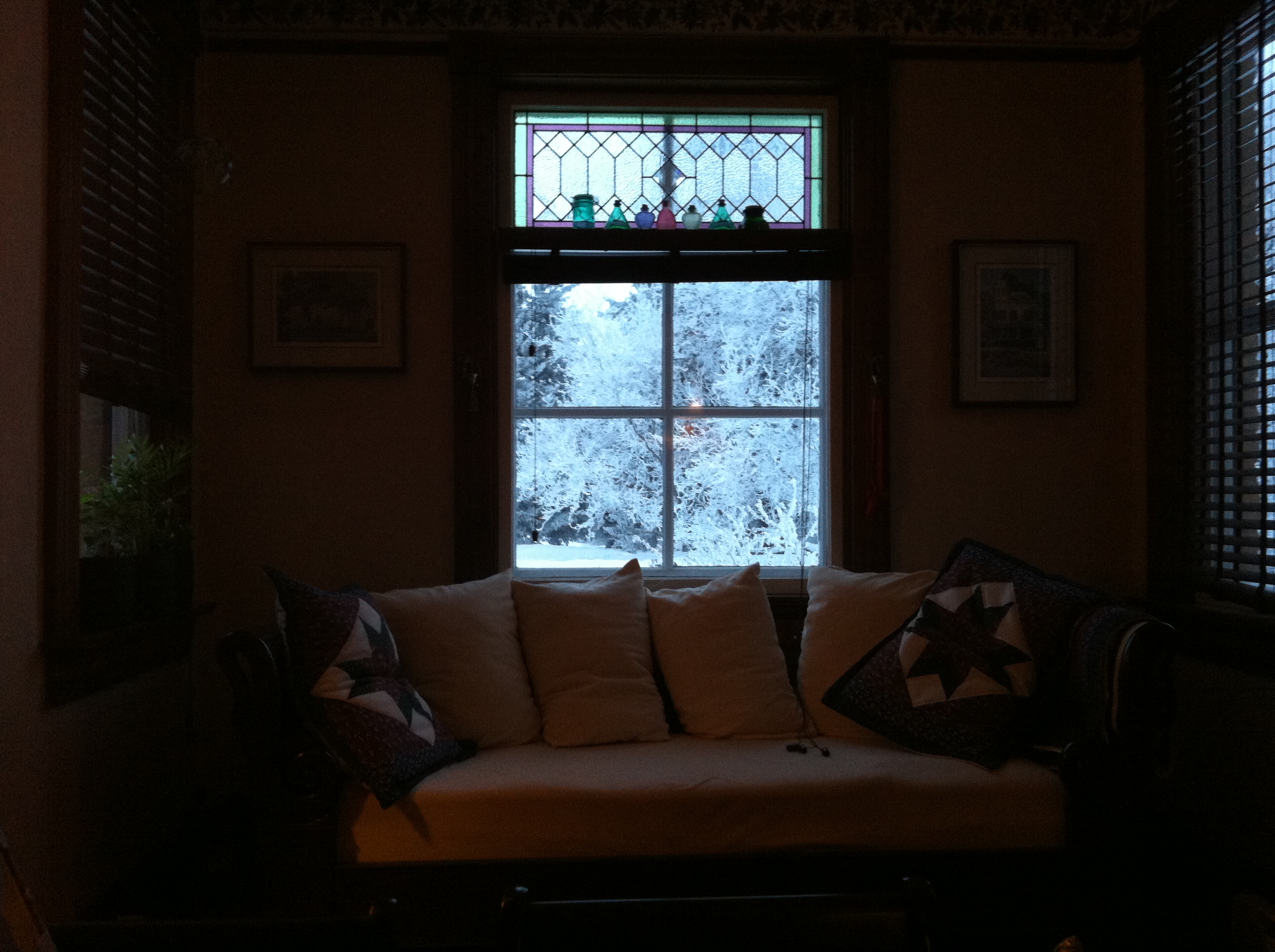
pendant le petit déj'

le givre était superbe ce jour là
Topographic Map of Park (South), MB R0J, Canada
Find elevation by address:

Places in Park (South), MB R0J, Canada:
Places near Park (South), MB R0J, Canada:
Olha
Horod
Rossburn
Division No. 17, Unorganized
Rossburn
124 Victoria Ave
57 Victor Ave
Riding Mountain National Park
48 Poplar Ave
127 Country Side Dr
Wasagaming
Dauphin
Division No. 17
7 Ave NE, Dauphin, MB R7N 0W2, Canada
Baldy Mountain
Division No. 16
Mountain (south)
Division No. 20
Recent Searches:
- Elevation of Corso Fratelli Cairoli, 35, Macerata MC, Italy
- Elevation of Tallevast Rd, Sarasota, FL, USA
- Elevation of 4th St E, Sonoma, CA, USA
- Elevation of Black Hollow Rd, Pennsdale, PA, USA
- Elevation of Oakland Ave, Williamsport, PA, USA
- Elevation of Pedrógão Grande, Portugal
- Elevation of Klee Dr, Martinsburg, WV, USA
- Elevation of Via Roma, Pieranica CR, Italy
- Elevation of Tavkvetili Mountain, Georgia
- Elevation of Hartfords Bluff Cir, Mt Pleasant, SC, USA