Elevation map of Division No. 20, MB, Canada
Location: Canada > Manitoba >
Longitude: -101.23942
Latitude: 51.9948374
Elevation: 412m / 1352feet
Barometric Pressure: 96KPa
Elevation Map:
Satellite Map:
Related Photos:

White Barn
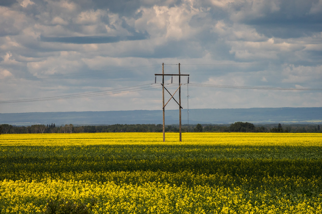
Duck Mountain/Canola

Currie's
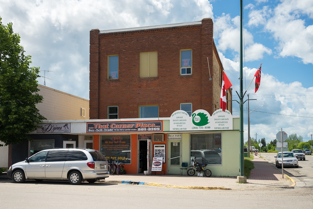
That Corner Place

St. Andrew's United Church

Clancy's Meat Co.
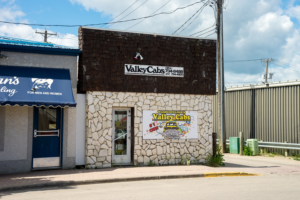
Valley Cabs
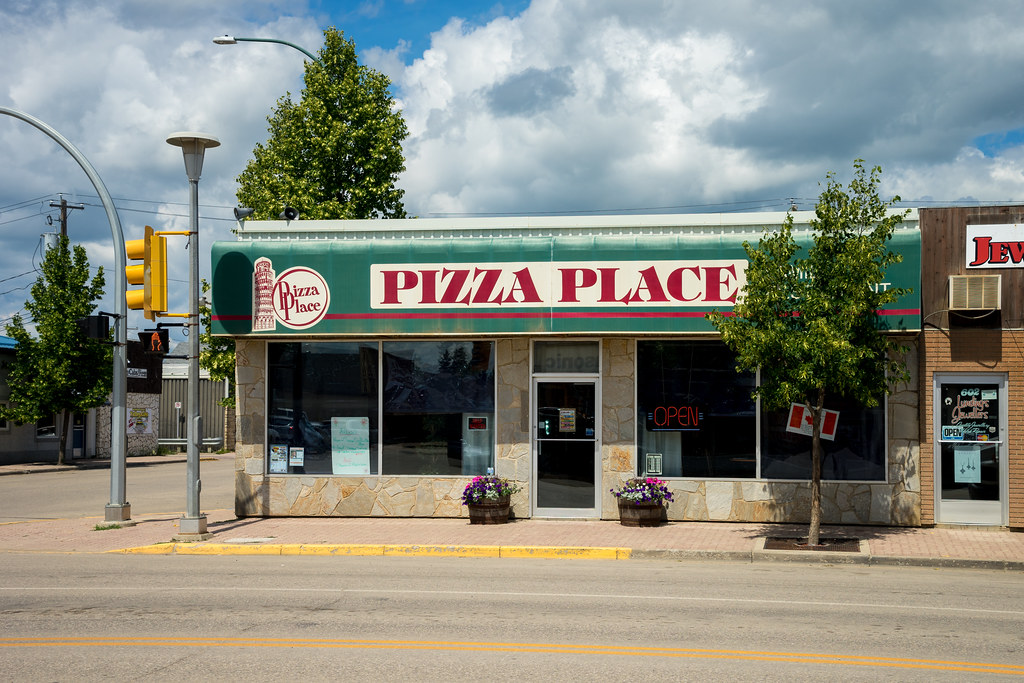
Pizza Place

New Country Motel
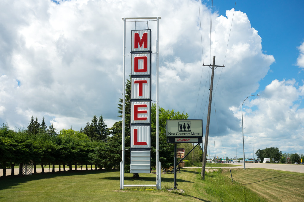
New Country Motel
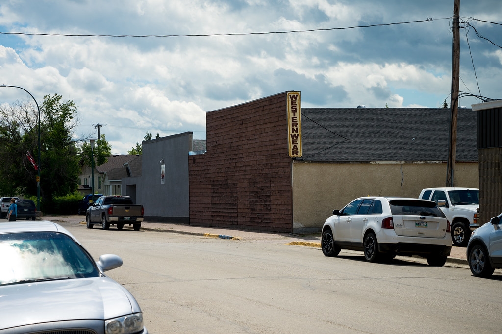
Western Wear

Pine Grosbeak
Topographic Map of Division No. 20, MB, Canada
Find elevation by address:

Places in Division No. 20, MB, Canada:
Places near Division No. 20, MB, Canada:
Baldy Mountain
Mountain (south)
Division No. 16
124 Victoria Ave
Rossburn
Dauphin
7 Ave NE, Dauphin, MB R7N 0W2, Canada
Rossburn
Olha
Park (south)
Division No. 17
Division No. 17, Unorganized
Horod
57 Victor Ave
Riding Mountain National Park
Wasagaming
48 Poplar Ave
127 Country Side Dr
Recent Searches:
- Elevation of Corso Fratelli Cairoli, 35, Macerata MC, Italy
- Elevation of Tallevast Rd, Sarasota, FL, USA
- Elevation of 4th St E, Sonoma, CA, USA
- Elevation of Black Hollow Rd, Pennsdale, PA, USA
- Elevation of Oakland Ave, Williamsport, PA, USA
- Elevation of Pedrógão Grande, Portugal
- Elevation of Klee Dr, Martinsburg, WV, USA
- Elevation of Via Roma, Pieranica CR, Italy
- Elevation of Tavkvetili Mountain, Georgia
- Elevation of Hartfords Bluff Cir, Mt Pleasant, SC, USA