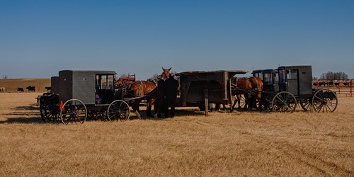
Elevation of Versailles, MO, USA
Location: United States > Missouri > Morgan County > Moreau Township >
Longitude: -92.841027
Latitude: 38.4314141
Elevation: 315m / 1033feet
Barometric Pressure: 98KPa
Related Photos:
Topographic Map of Versailles, MO, USA
Find elevation by address:

Places near Versailles, MO, USA:
422 Old W Rd
Morgan County
21974 Rosewood Dr
Haw Creek Township
Gravois Mills
Twin Ridge Road
Stover
N Oak St, Stover, MO, USA
27205 Cali Ct
28000 Ivy Bend Rd
Mill Creek Township
23435 Deer Ridge Dr
Buffalo Township
MO-, Stover, MO, USA
Blackbird Road
Laurie
1st St, Gravois Mills, MO, USA
Arrowhead Road
185 Mo-5
957 S Fork Ln
Recent Searches:
- Elevation of Corso Fratelli Cairoli, 35, Macerata MC, Italy
- Elevation of Tallevast Rd, Sarasota, FL, USA
- Elevation of 4th St E, Sonoma, CA, USA
- Elevation of Black Hollow Rd, Pennsdale, PA, USA
- Elevation of Oakland Ave, Williamsport, PA, USA
- Elevation of Pedrógão Grande, Portugal
- Elevation of Klee Dr, Martinsburg, WV, USA
- Elevation of Via Roma, Pieranica CR, Italy
- Elevation of Tavkvetili Mountain, Georgia
- Elevation of Hartfords Bluff Cir, Mt Pleasant, SC, USA


