Elevation of MO-, Stover, MO, USA
Location: United States > Missouri > Morgan County >
Longitude: -93.021561
Latitude: 38.495669
Elevation: 310m / 1017feet
Barometric Pressure: 98KPa
Elevation Map:
Satellite Map:
Related Photos:

Convective Serenity

Mamma Farm

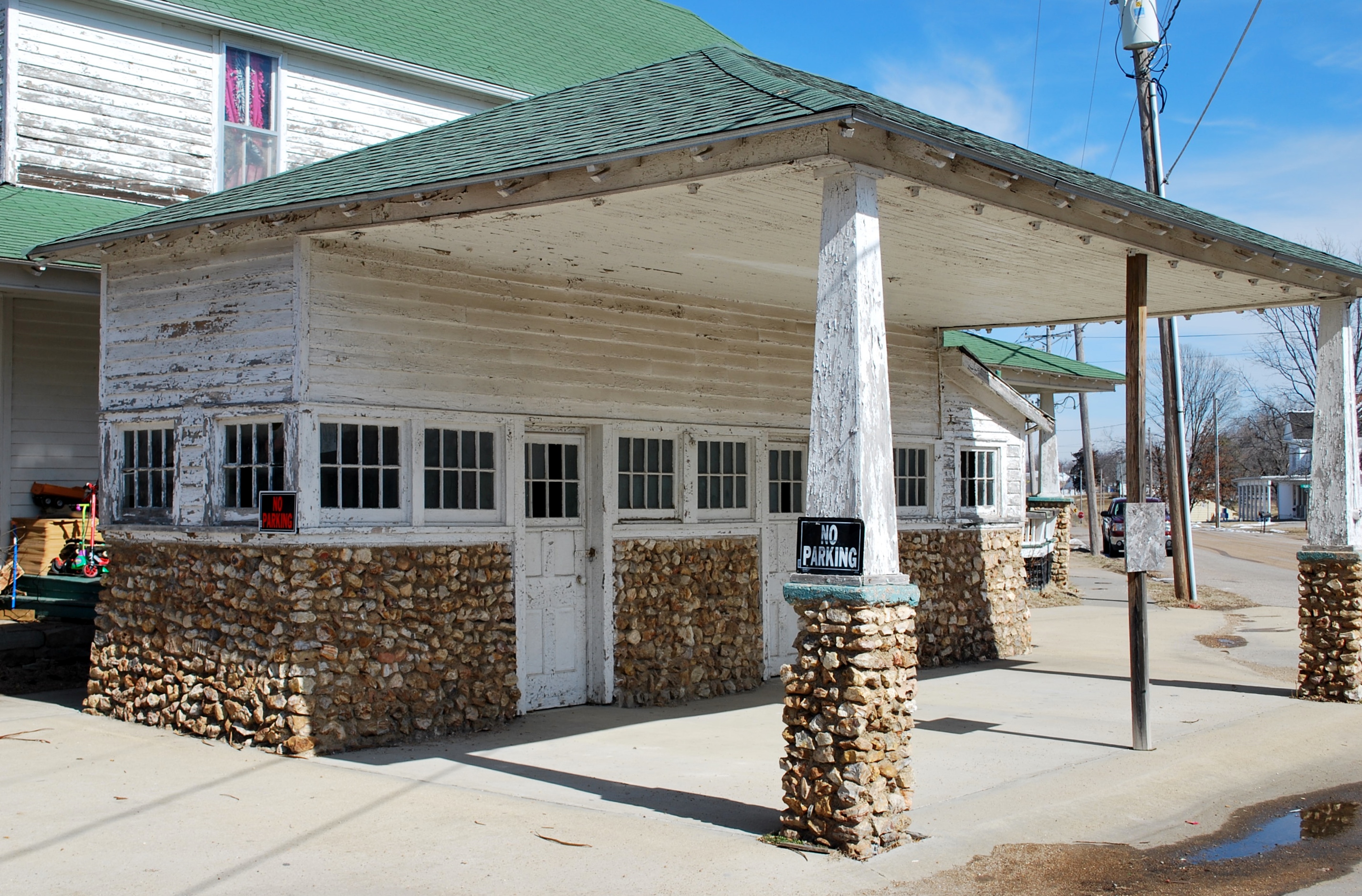
Cole Camp corner
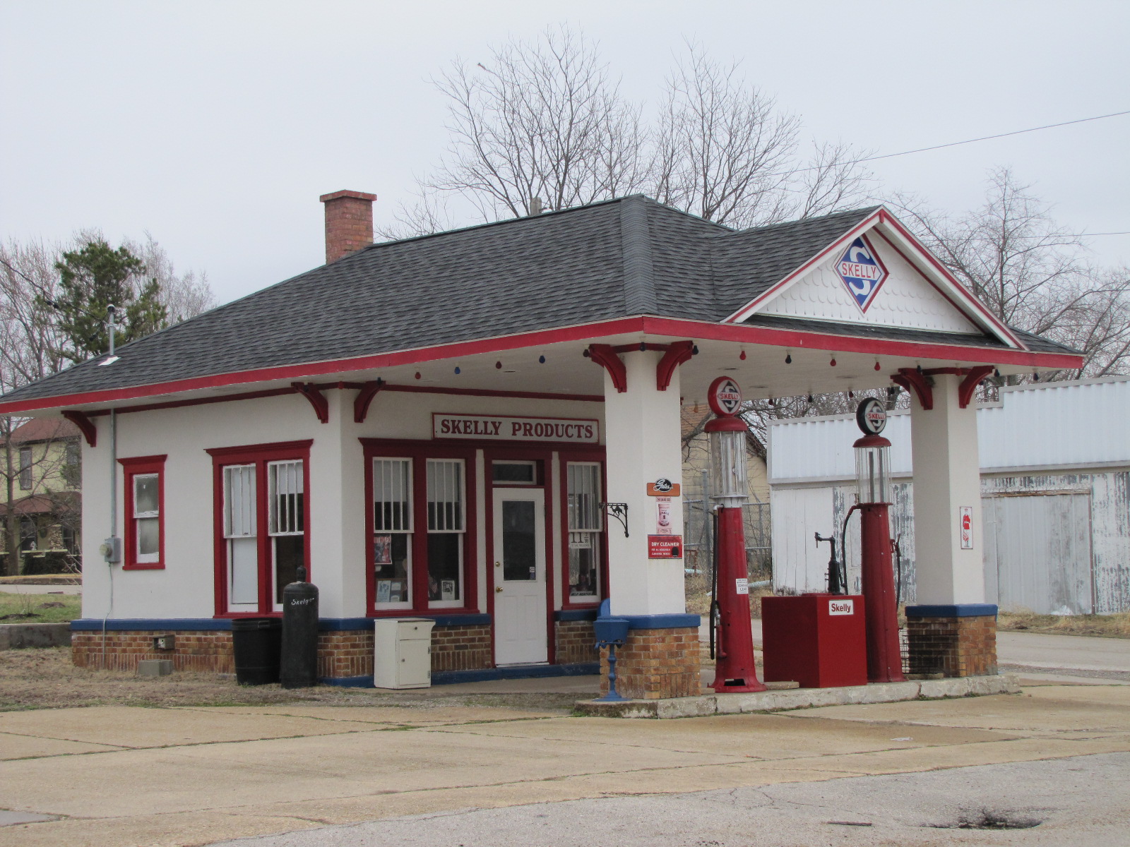
Stover Skelly (1 of 2)

Andrea Sxxxx

Versailles, MO

Versailles, MO
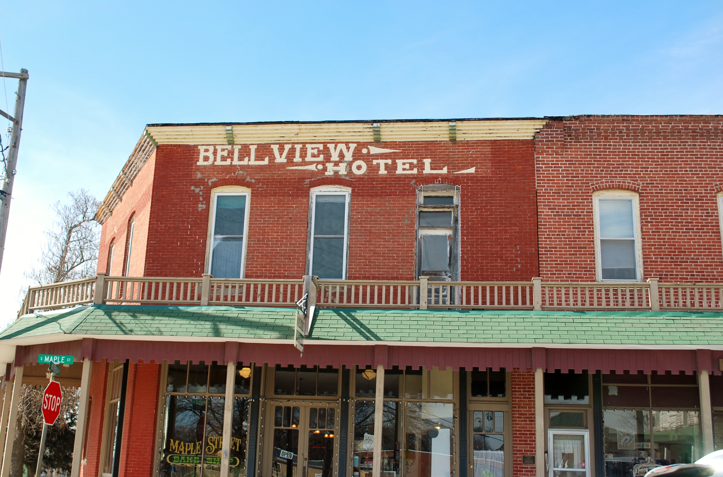
Cole Camp hotel

Farm abstract

Farm abstract

Restoration Farm cabin

Growing room

Restoration Farm cabin

Great Aunt Helen's quilt

Chicken house

Hens + Rooster

Kingdom + his dog house

The ducks are coming

Restoration Farm cabin

Fresh & Vibrant Vivid

Fresh & Vibrant Vivid
Topographic Map of MO-, Stover, MO, USA
Find elevation by address:

Places near MO-, Stover, MO, USA:
Stover
N Oak St, Stover, MO, USA
Haw Creek Township
Heman
21182 21213 Heman Ave
23435 Deer Ridge Dr
Mill Creek Township
21974 Rosewood Dr
Cole Camp
Versailles
26975 State Hwy T
422 Old W Rd
Williams Township
28000 Ivy Bend Rd
Buffalo Township
Morgan County
Cole Township
E Front St, Syracuse, MO, USA
Syracuse
27205 Cali Ct
Recent Searches:
- Elevation of Corso Fratelli Cairoli, 35, Macerata MC, Italy
- Elevation of Tallevast Rd, Sarasota, FL, USA
- Elevation of 4th St E, Sonoma, CA, USA
- Elevation of Black Hollow Rd, Pennsdale, PA, USA
- Elevation of Oakland Ave, Williamsport, PA, USA
- Elevation of Pedrógão Grande, Portugal
- Elevation of Klee Dr, Martinsburg, WV, USA
- Elevation of Via Roma, Pieranica CR, Italy
- Elevation of Tavkvetili Mountain, Georgia
- Elevation of Hartfords Bluff Cir, Mt Pleasant, SC, USA