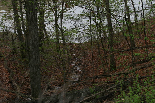
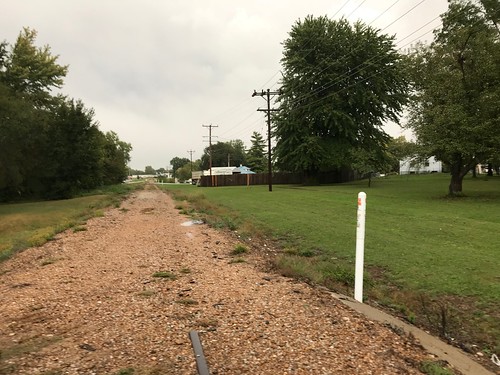
Elevation of Cali Ct, Gravois Mills, MO, USA
Location: United States > Missouri > Gravois Mills >
Longitude: -92.911806
Latitude: 38.2947113
Elevation: 302m / 991feet
Barometric Pressure: 98KPa
Related Photos:
Topographic Map of Cali Ct, Gravois Mills, MO, USA
Find elevation by address:

Places near Cali Ct, Gravois Mills, MO, USA:
28000 Ivy Bend Rd
Twin Ridge Road
Buffalo Township
Blackbird Road
Arrowhead Road
Gravois Mills
Armadillo Ridge Road
32561 N Ivy Bend Rd
32561 N Ivy Bend Rd
32059 Webb Loop
Minnehaha Drive
1st St, Gravois Mills, MO, USA
Laurie
2415 Lick Creek Rd
1084 Golden Goose Dr
908 Long Shore Cir
185 Mo-5
26975 State Hwy T
20 Mama Ln
823 Outlook Dr
Recent Searches:
- Elevation of Corso Fratelli Cairoli, 35, Macerata MC, Italy
- Elevation of Tallevast Rd, Sarasota, FL, USA
- Elevation of 4th St E, Sonoma, CA, USA
- Elevation of Black Hollow Rd, Pennsdale, PA, USA
- Elevation of Oakland Ave, Williamsport, PA, USA
- Elevation of Pedrógão Grande, Portugal
- Elevation of Klee Dr, Martinsburg, WV, USA
- Elevation of Via Roma, Pieranica CR, Italy
- Elevation of Tavkvetili Mountain, Georgia
- Elevation of Hartfords Bluff Cir, Mt Pleasant, SC, USA


