Elevation of Blackbird Road, Blackbird Rd, Stover, MO, USA
Location: United States > Missouri > Morgan County > Buffalo Township >
Longitude: -92.957817
Latitude: 38.2438476
Elevation: 264m / 866feet
Barometric Pressure: 98KPa
Elevation Map:
Satellite Map:
Related Photos:
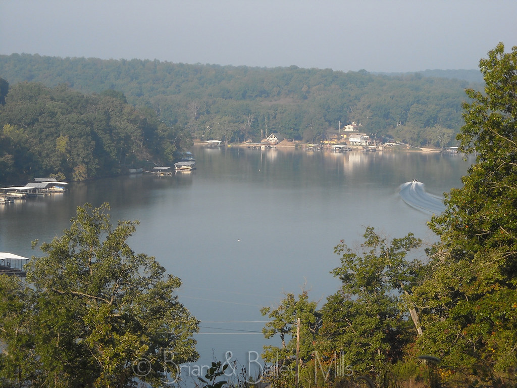
Lake
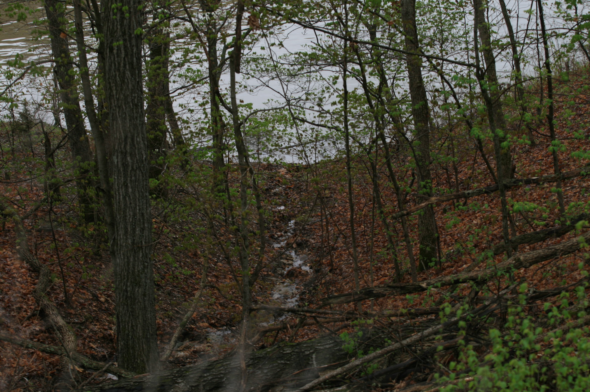
Lake photos April 2008 181

Cove Sunset
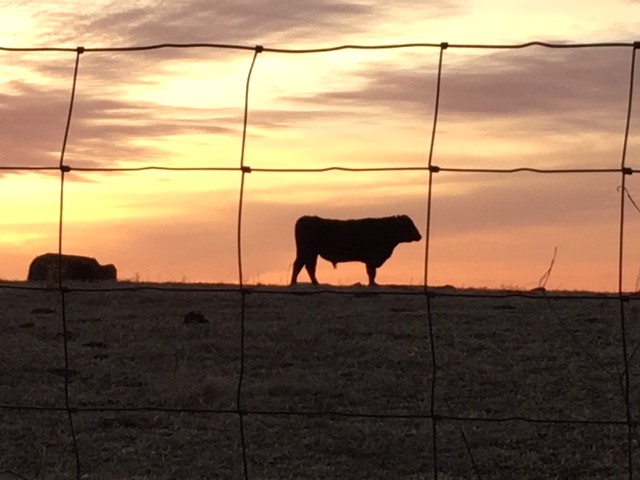
Steven Harvey - bull pride
Topographic Map of Blackbird Road, Blackbird Rd, Stover, MO, USA
Find elevation by address:

Places near Blackbird Road, Blackbird Rd, Stover, MO, USA:
Arrowhead Road
Armadillo Ridge Road
32561 N Ivy Bend Rd
32561 N Ivy Bend Rd
32059 Webb Loop
Buffalo Township
1084 Golden Goose Dr
28000 Ivy Bend Rd
2415 Lick Creek Rd
27205 Cali Ct
20 Mama Ln
908 Long Shore Cir
Minnehaha Drive
823 Outlook Dr
Twin Ridge Road
26975 State Hwy T
1st St, Gravois Mills, MO, USA
Laurie
185 Mo-5
State Hwy FF, Edwards, MO, USA
Recent Searches:
- Elevation of Corso Fratelli Cairoli, 35, Macerata MC, Italy
- Elevation of Tallevast Rd, Sarasota, FL, USA
- Elevation of 4th St E, Sonoma, CA, USA
- Elevation of Black Hollow Rd, Pennsdale, PA, USA
- Elevation of Oakland Ave, Williamsport, PA, USA
- Elevation of Pedrógão Grande, Portugal
- Elevation of Klee Dr, Martinsburg, WV, USA
- Elevation of Via Roma, Pieranica CR, Italy
- Elevation of Tavkvetili Mountain, Georgia
- Elevation of Hartfords Bluff Cir, Mt Pleasant, SC, USA