Elevation of Armadillo Ridge Road, Armadillo Ridge Rd, Adair Township, MO, USA
Location: United States > Missouri > Camden County > Adair Township > Climax Springs >
Longitude: -92.961655
Latitude: 38.2227152
Elevation: 228m / 748feet
Barometric Pressure: 99KPa
Elevation Map:
Satellite Map:
Related Photos:

Lake

Cove Sunset

Lake photos April 2008 181
Post Office 65038 (Laurie, Missouri)

Post Office 65037 (Gravois Mills, Missouri)

Mom after return from hospital

Mom and Dad and Murphy January 2017 (1)

Mom and Dad and Murphy January 2017 (2)

Mom and Dad and Murphy January 2017 (3)

Mom and Dad and Murphy January 2017 (5)

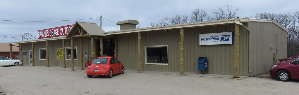
Post Office 65324 (Climax Springs, Missouri)

Windmill invert
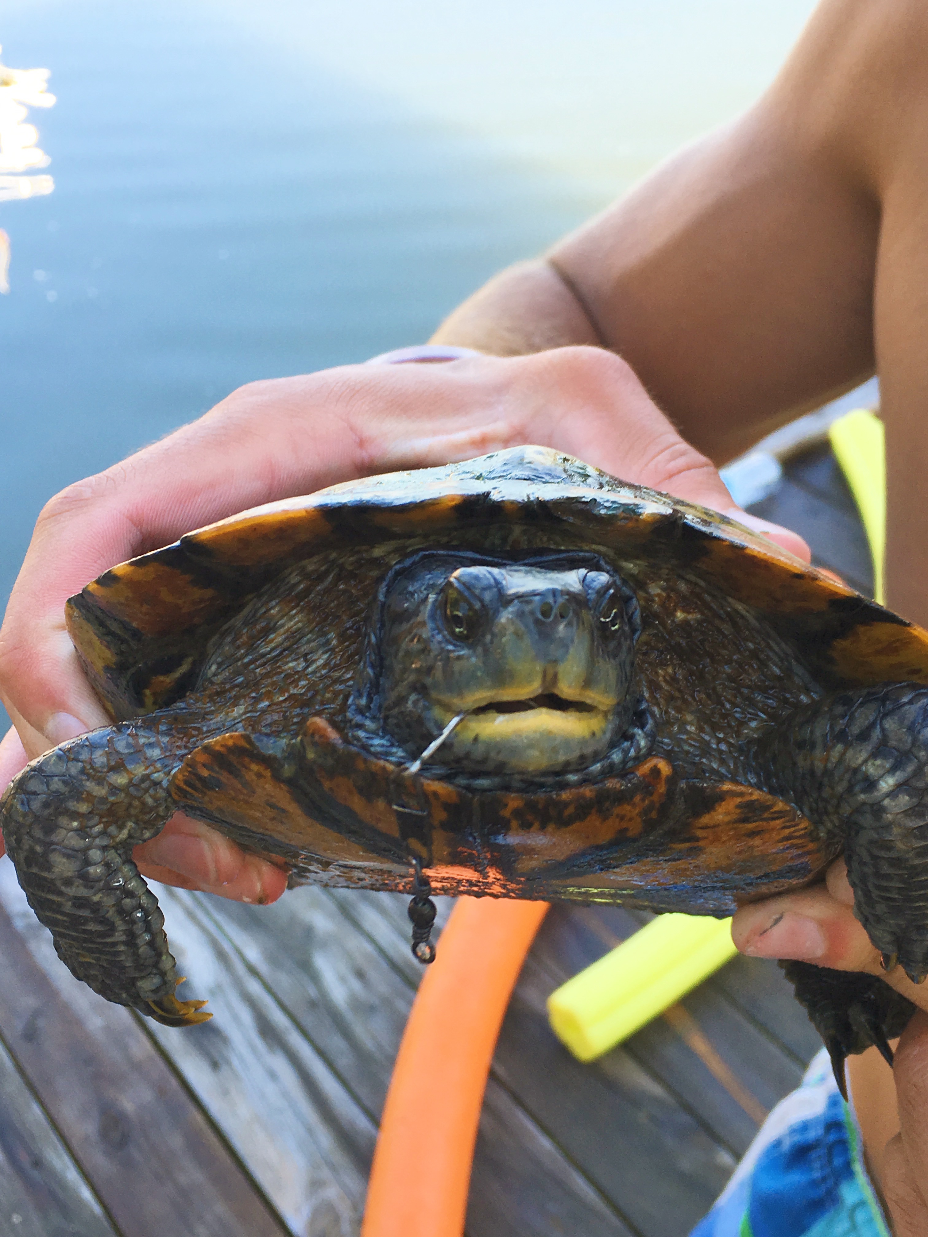
Shoe goals and a big ol turtle I caught

The lovely @darcyduke in the seafood aisle.

#likefatherlikeson #camo #lakeoftheozarks #lake #lakeweekend #chill #relax #gentrysaim2015

LAPTOP - WIN_20141006_194408 (2)_NEWpop

LAPTOP - WP_20140729_17_47_29_Pro

LAPTOP - WP_20140729_17_48_39_Pro

LAPTOP - WP_20141213_002
Topographic Map of Armadillo Ridge Road, Armadillo Ridge Rd, Adair Township, MO, USA
Find elevation by address:

Places near Armadillo Ridge Road, Armadillo Ridge Rd, Adair Township, MO, USA:
32561 N Ivy Bend Rd
32561 N Ivy Bend Rd
Blackbird Road
Arrowhead Road
32059 Webb Loop
1084 Golden Goose Dr
20 Mama Ln
2415 Lick Creek Rd
908 Long Shore Cir
Buffalo Township
Minnehaha Drive
28000 Ivy Bend Rd
27205 Cali Ct
823 Outlook Dr
26975 State Hwy T
Twin Ridge Road
State Hwy FF, Edwards, MO, USA
1st St, Gravois Mills, MO, USA
Laurie
185 Mo-5
Recent Searches:
- Elevation of Corso Fratelli Cairoli, 35, Macerata MC, Italy
- Elevation of Tallevast Rd, Sarasota, FL, USA
- Elevation of 4th St E, Sonoma, CA, USA
- Elevation of Black Hollow Rd, Pennsdale, PA, USA
- Elevation of Oakland Ave, Williamsport, PA, USA
- Elevation of Pedrógão Grande, Portugal
- Elevation of Klee Dr, Martinsburg, WV, USA
- Elevation of Via Roma, Pieranica CR, Italy
- Elevation of Tavkvetili Mountain, Georgia
- Elevation of Hartfords Bluff Cir, Mt Pleasant, SC, USA