Elevation map of Val Verde County, TX, USA
Location: United States > Texas >
Longitude: -101.16173
Latitude: 29.8687682
Elevation: 519m / 1703feet
Barometric Pressure: 95KPa
Elevation Map:
Satellite Map:
Related Photos:
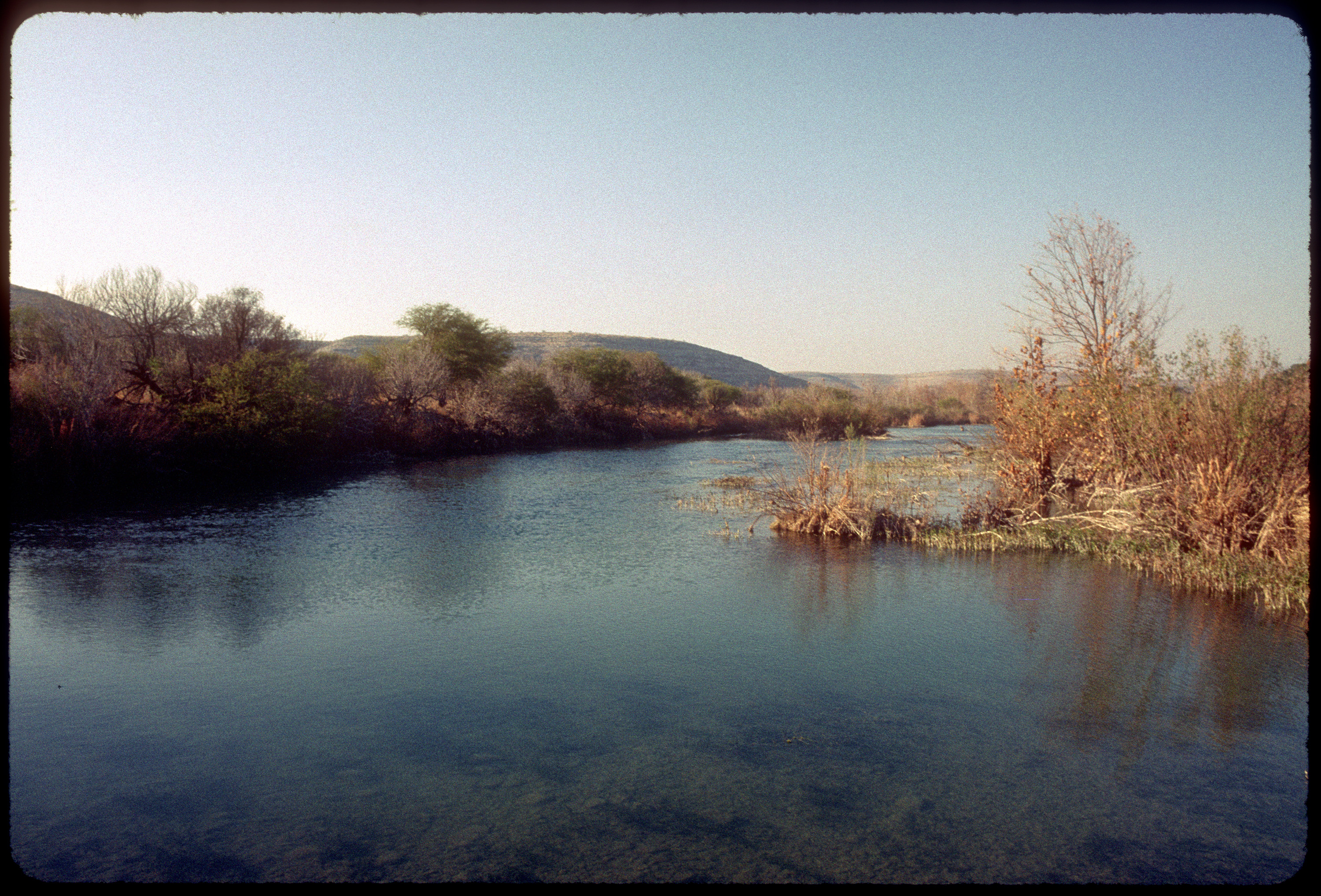
Devil's River

162. Dried

Day two start on the #devilsriver #photosbyrichard @natgeotravel

Tropical Parula

Tropical Parula
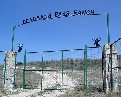
Deadmans Pass Ranch
Topographic Map of Val Verde County, TX, USA
Find elevation by address:

Places in Val Verde County, TX, USA:
Places near Val Verde County, TX, USA:
5020 Tx-163
Comstock
Shoreline Dr, Del Rio, TX, USA
TX-, Texas, USA
Carta Valley
Edwards County
Crockett County
Ozona
Ozona
410 Del Rio St
404 Martin St
407 Del Rio St
510 Amistad
509 W Chestnut St
802 Mesquite St
802 Mesquite St
Bob White Drive
203 Menard Ave
124 W Plum St
Sonora
Recent Searches:
- Elevation of Corso Fratelli Cairoli, 35, Macerata MC, Italy
- Elevation of Tallevast Rd, Sarasota, FL, USA
- Elevation of 4th St E, Sonoma, CA, USA
- Elevation of Black Hollow Rd, Pennsdale, PA, USA
- Elevation of Oakland Ave, Williamsport, PA, USA
- Elevation of Pedrógão Grande, Portugal
- Elevation of Klee Dr, Martinsburg, WV, USA
- Elevation of Via Roma, Pieranica CR, Italy
- Elevation of Tavkvetili Mountain, Georgia
- Elevation of Hartfords Bluff Cir, Mt Pleasant, SC, USA