Elevation of Carta Valley, TX, USA
Location: United States > Texas > Edwards County > Rocksprings >
Longitude: -100.67150
Latitude: 29.79001
Elevation: 571m / 1873feet
Barometric Pressure: 95KPa
Elevation Map:
Satellite Map:
Related Photos:

burned out
cretacious limestone beds

Camel Spider

Orange & Black

Red Admiral (Vanessa atalanta)

dboz. #glamourouslife

kid was extra friendly

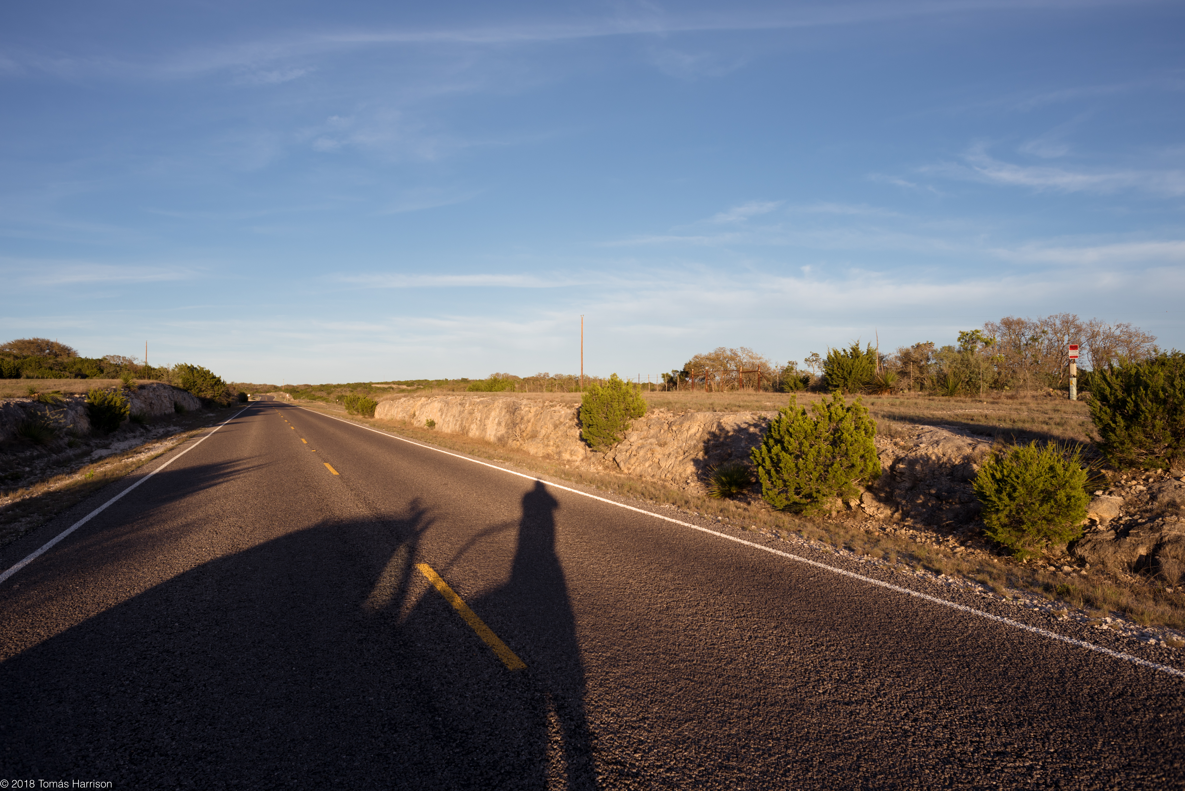
Hill Country Out of Gas
Topographic Map of Carta Valley, TX, USA
Find elevation by address:

Places near Carta Valley, TX, USA:
Edwards County
Shoreline Dr, Del Rio, TX, USA
5020 Tx-163
Val Verde County
Comstock
Rocksprings
TX-, Texas, USA
Barksdale
Camp Wood
Ftw Ranch
404 Martin St
407 Del Rio St
410 Del Rio St
802 Mesquite St
802 Mesquite St
510 Amistad
509 W Chestnut St
Sonora
124 W Plum St
203 Menard Ave
Recent Searches:
- Elevation of Corso Fratelli Cairoli, 35, Macerata MC, Italy
- Elevation of Tallevast Rd, Sarasota, FL, USA
- Elevation of 4th St E, Sonoma, CA, USA
- Elevation of Black Hollow Rd, Pennsdale, PA, USA
- Elevation of Oakland Ave, Williamsport, PA, USA
- Elevation of Pedrógão Grande, Portugal
- Elevation of Klee Dr, Martinsburg, WV, USA
- Elevation of Via Roma, Pieranica CR, Italy
- Elevation of Tavkvetili Mountain, Georgia
- Elevation of Hartfords Bluff Cir, Mt Pleasant, SC, USA