Elevation of TX-, Comstock, TX, USA
Location: United States > Texas > Val Verde County > Comstock >
Longitude: -101.13613
Latitude: 29.7501457
Elevation: 536m / 1759feet
Barometric Pressure: 95KPa
Elevation Map:
Satellite Map:
Related Photos:

Nnenna shares her team's story about hydraulic fractures

Eagle Ford 'long outcrop', west of Del Rio TX

Eagle Ford 'long outcrop', west of Del Rio TX

Eagle Ford outcrop west of Del Rio TX
Eagle Ford 'long outcrop', west of Del Rio TX
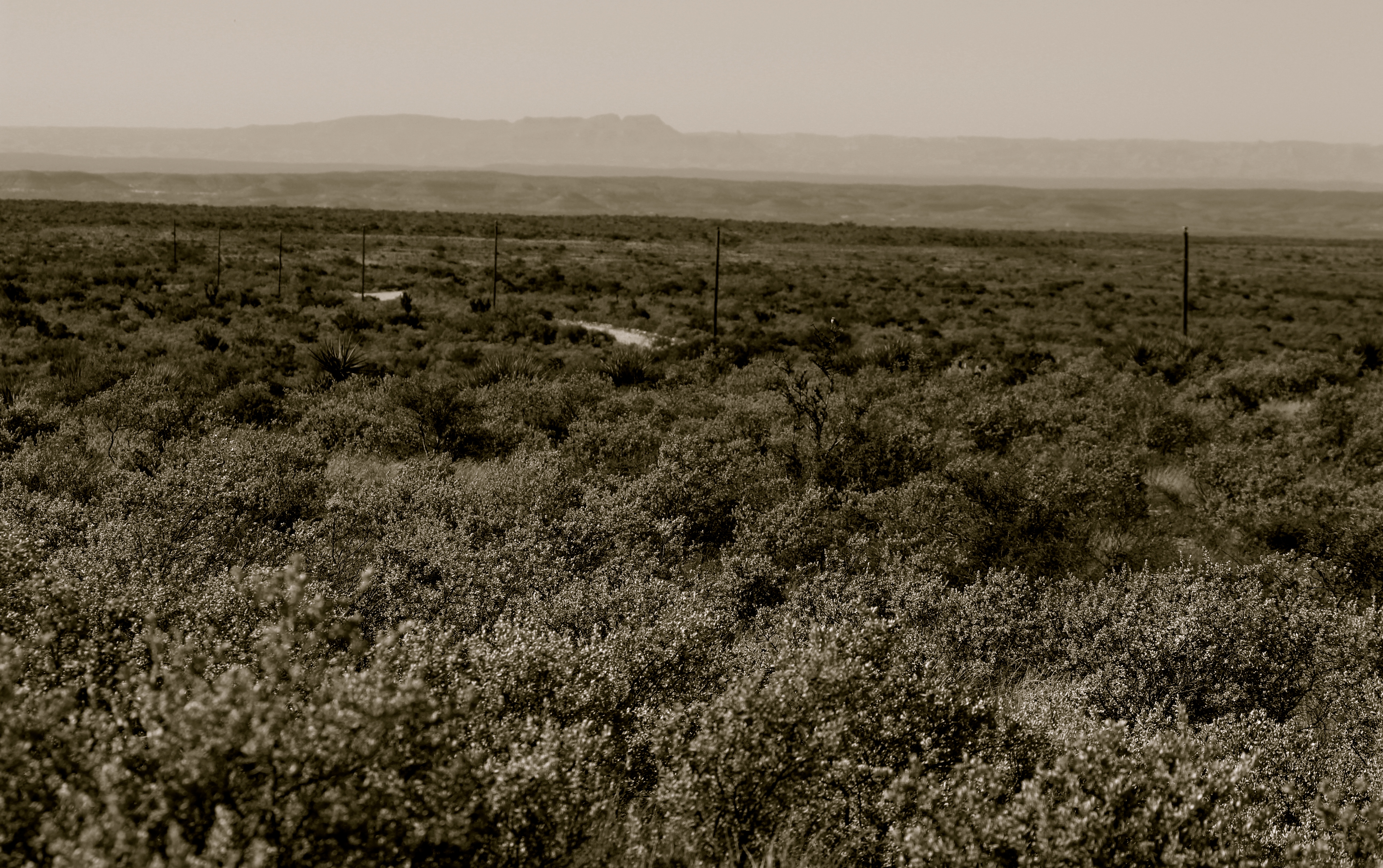
Looking towards Mexico

Devil's River Panoramic near Turkey Bluff Canyon

Crystal Clear Devil's River

Devil's River Landscape Panoramic

Dry Devil's River meets the Devil's River

Calm Waters Ahead - Devils River

Calm Waters Ahead - Devils River

Dandridge Falls Rapids - Devil's River

Dry Devil's Rapids - Devil's River

Morning Coffee Stop
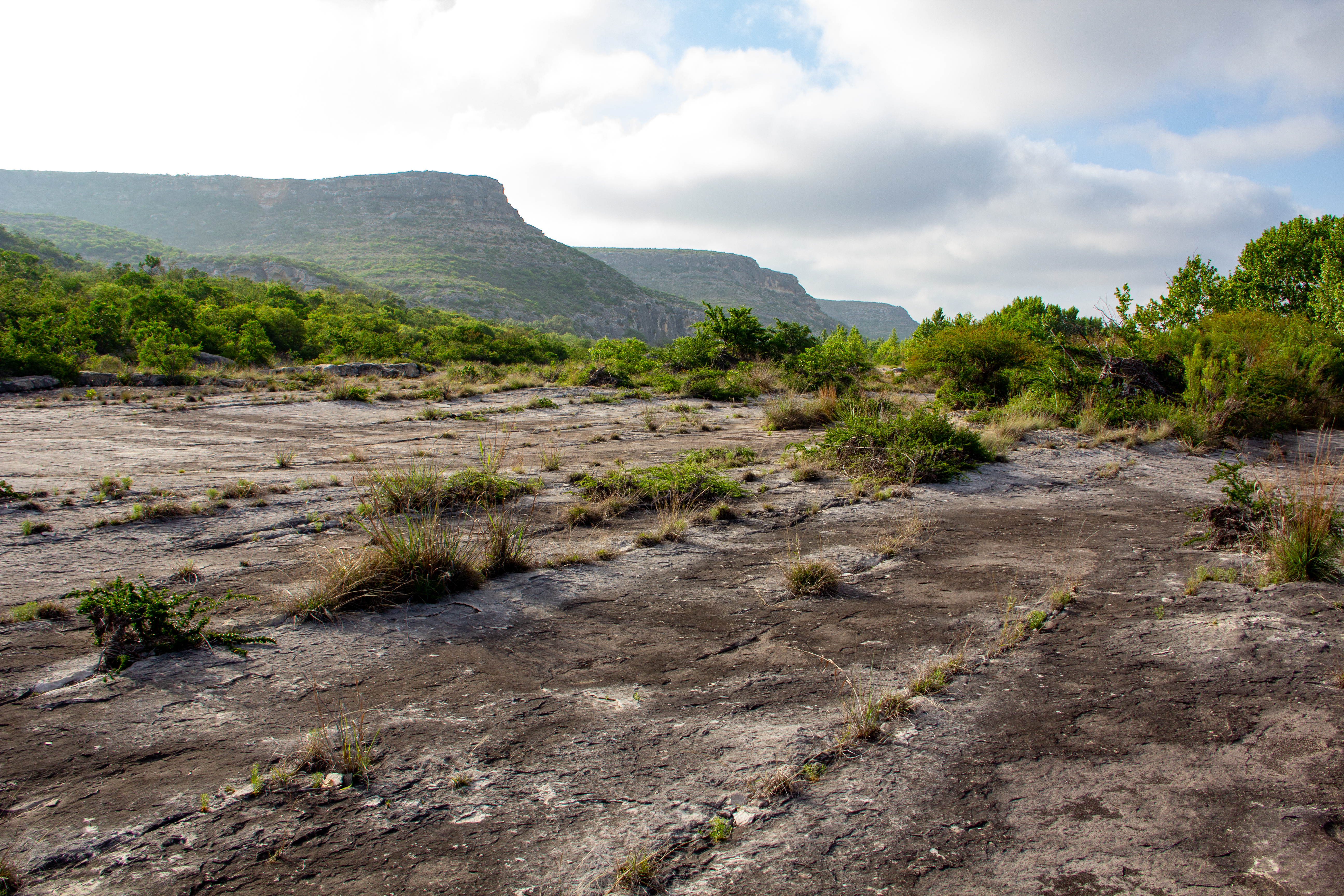
Devil's Backbone - Big Satan area of Devil's River SNA

Devil's Backbone - Big Satan area of Devil's River SNA

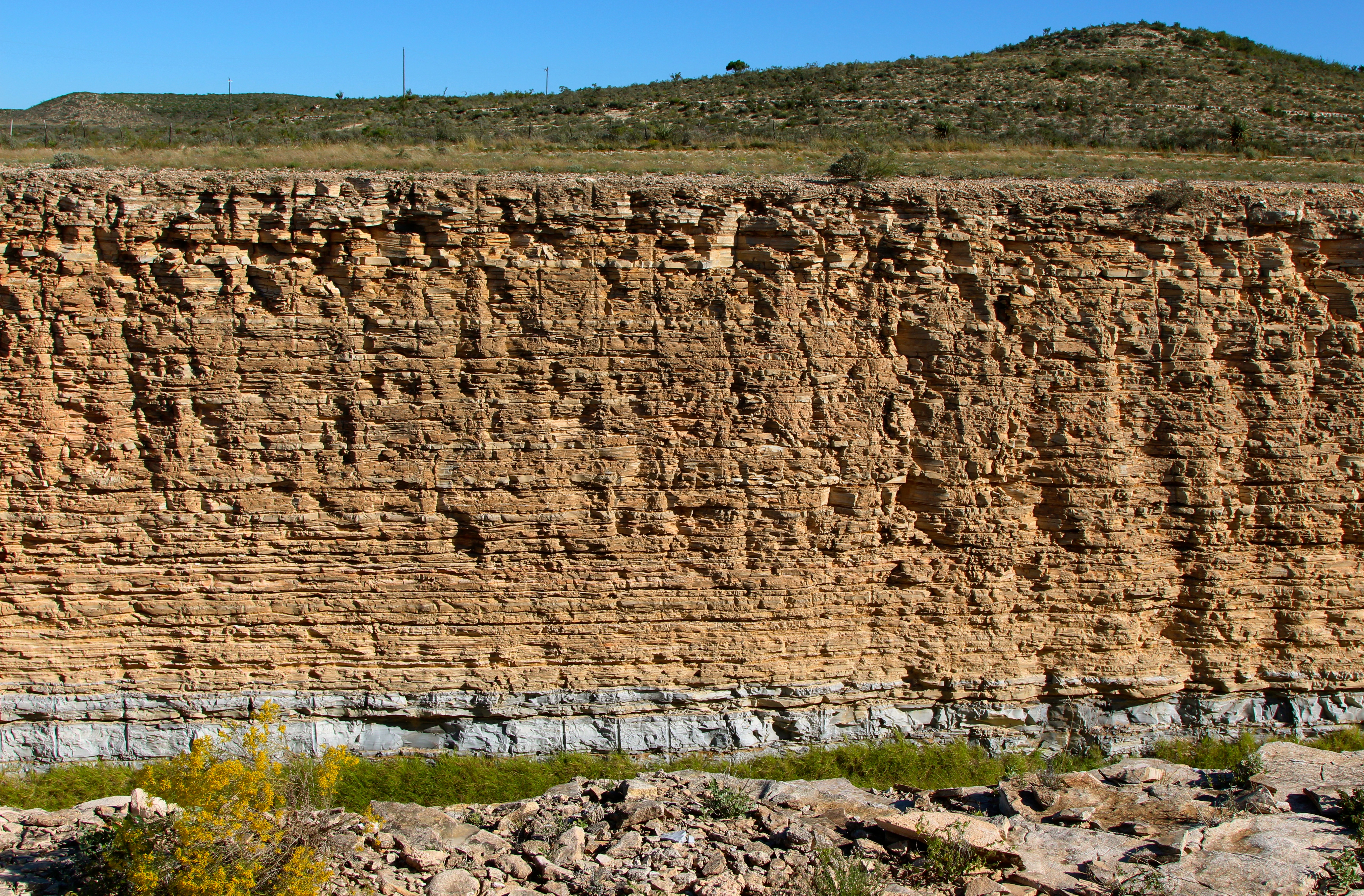
Eagle Ford outcrop west of Del Rio TX

Eagle Ford outcrop detail, west of Del Rio TX

Eagle Ford Formation outcrops, near Del Rio TX

Top of Eagle Ford road cut outcrop

Eagle Ford 'long outcrop' west of Del Rio TX

'Long outcrop' of Eagle Ford Formation, west of Del Rio TX

Eagle Ford 'long outcrop', west of Del Rio TX
Topographic Map of TX-, Comstock, TX, USA
Find elevation by address:

Places near TX-, Comstock, TX, USA:
Comstock
Val Verde County
Shoreline Dr, Del Rio, TX, USA
TX-, Texas, USA
Carta Valley
Edwards County
Crockett County
404 Martin St
410 Del Rio St
407 Del Rio St
510 Amistad
509 W Chestnut St
802 Mesquite St
802 Mesquite St
203 Menard Ave
124 W Plum St
Sonora
Ozona
Ozona
Surestay Hotel By Best Western Sonora
Recent Searches:
- Elevation of Corso Fratelli Cairoli, 35, Macerata MC, Italy
- Elevation of Tallevast Rd, Sarasota, FL, USA
- Elevation of 4th St E, Sonoma, CA, USA
- Elevation of Black Hollow Rd, Pennsdale, PA, USA
- Elevation of Oakland Ave, Williamsport, PA, USA
- Elevation of Pedrógão Grande, Portugal
- Elevation of Klee Dr, Martinsburg, WV, USA
- Elevation of Via Roma, Pieranica CR, Italy
- Elevation of Tavkvetili Mountain, Georgia
- Elevation of Hartfords Bluff Cir, Mt Pleasant, SC, USA