Elevation of TX-, Texas, USA
Location: United States > Texas > Val Verde County >
Longitude: -101.10144
Latitude: 30.197924
Elevation: 542m / 1778feet
Barometric Pressure: 95KPa
Elevation Map:
Satellite Map:
Related Photos:
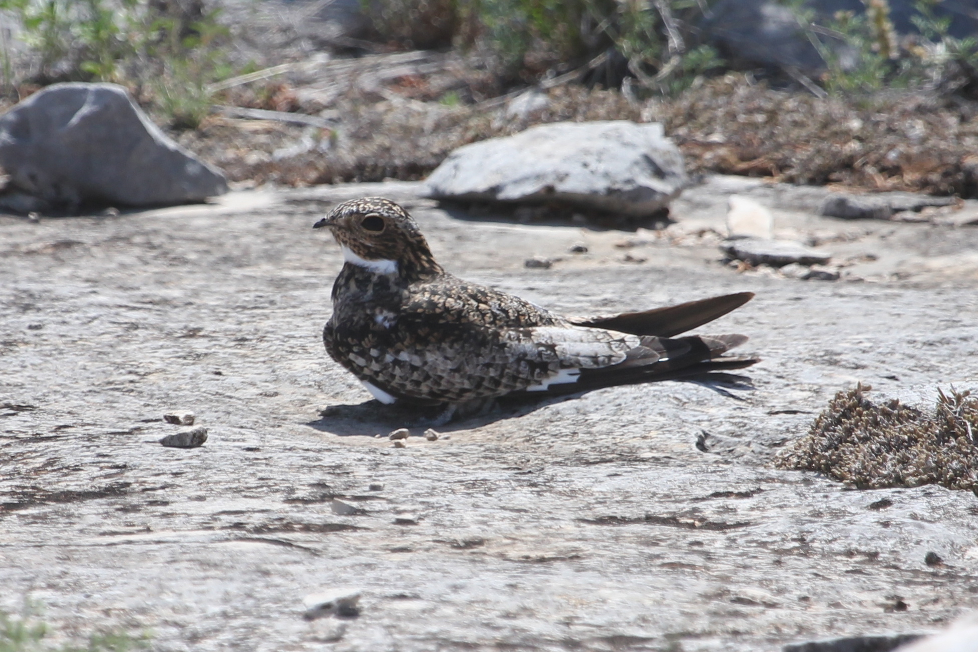
Common Nighthawk

Familiar Bluet
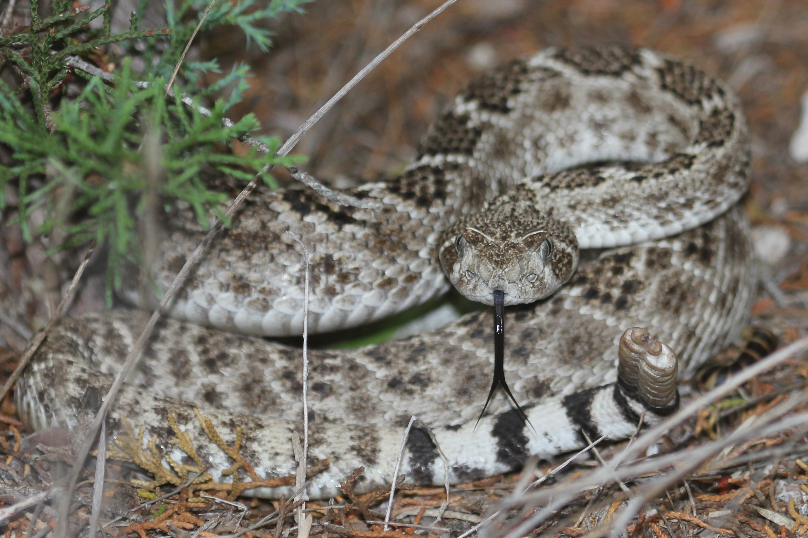
Western Diamondback Rattlesnake
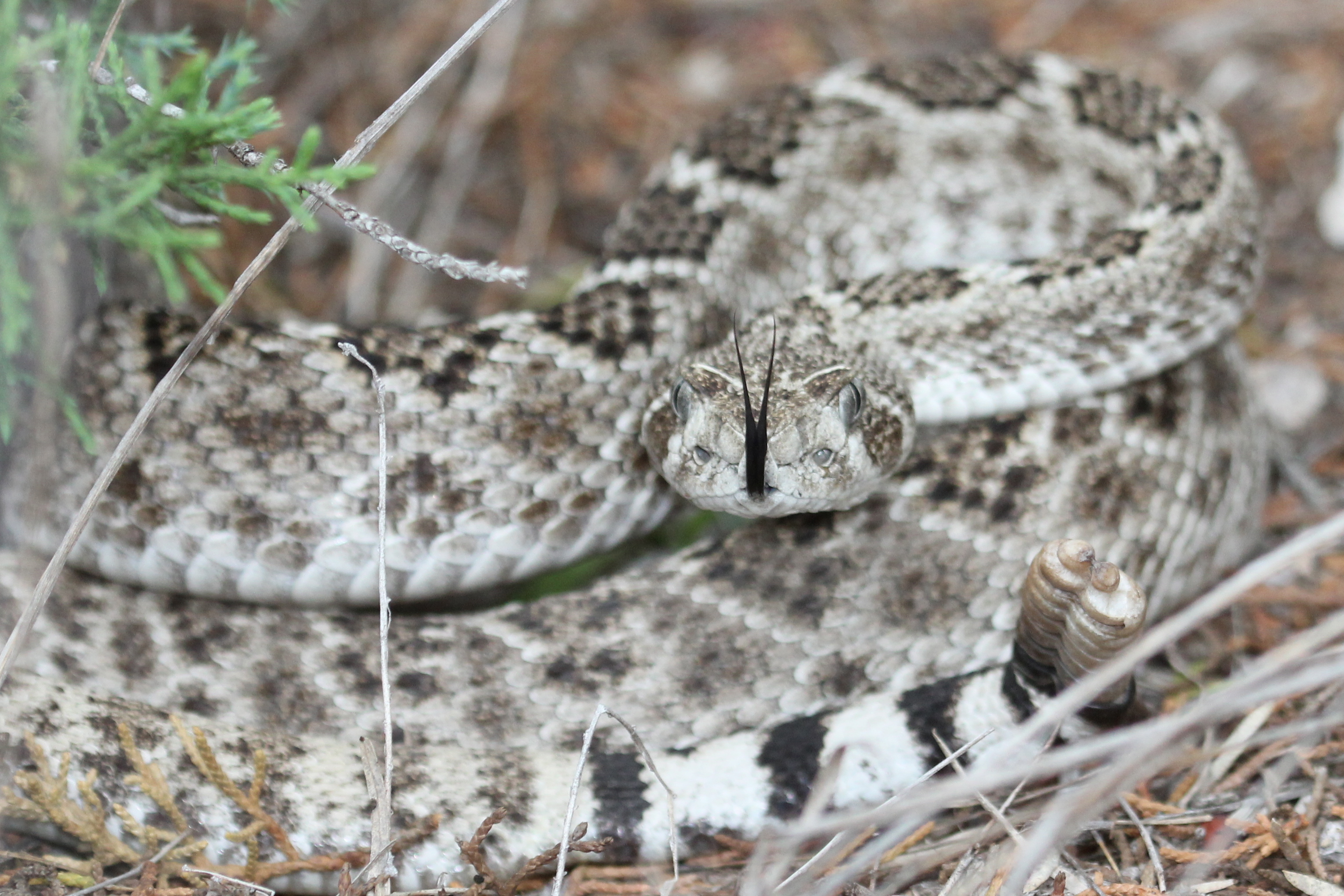
Western Diamondback Rattlesnake
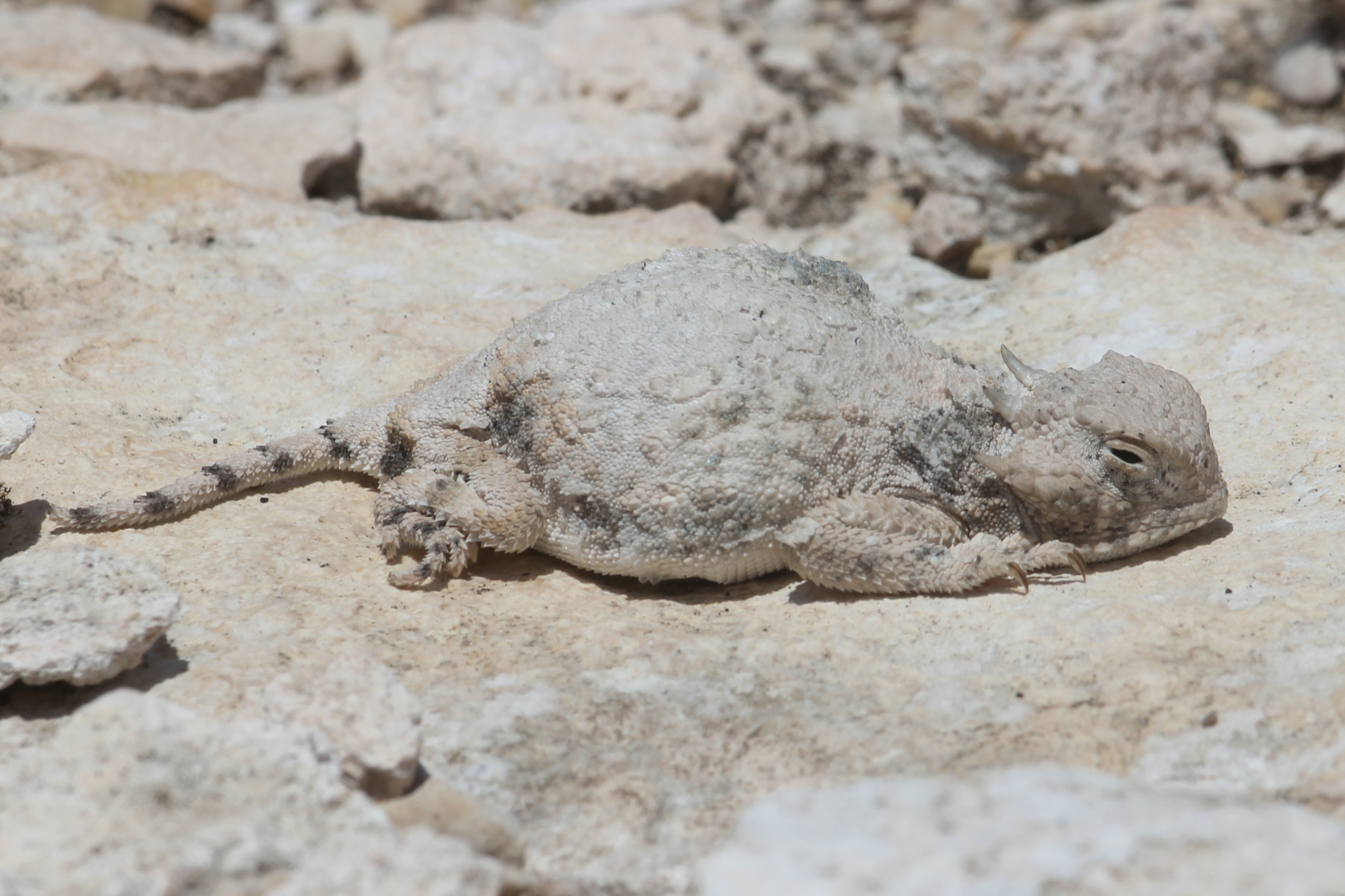
Roundtail Horned Lizard
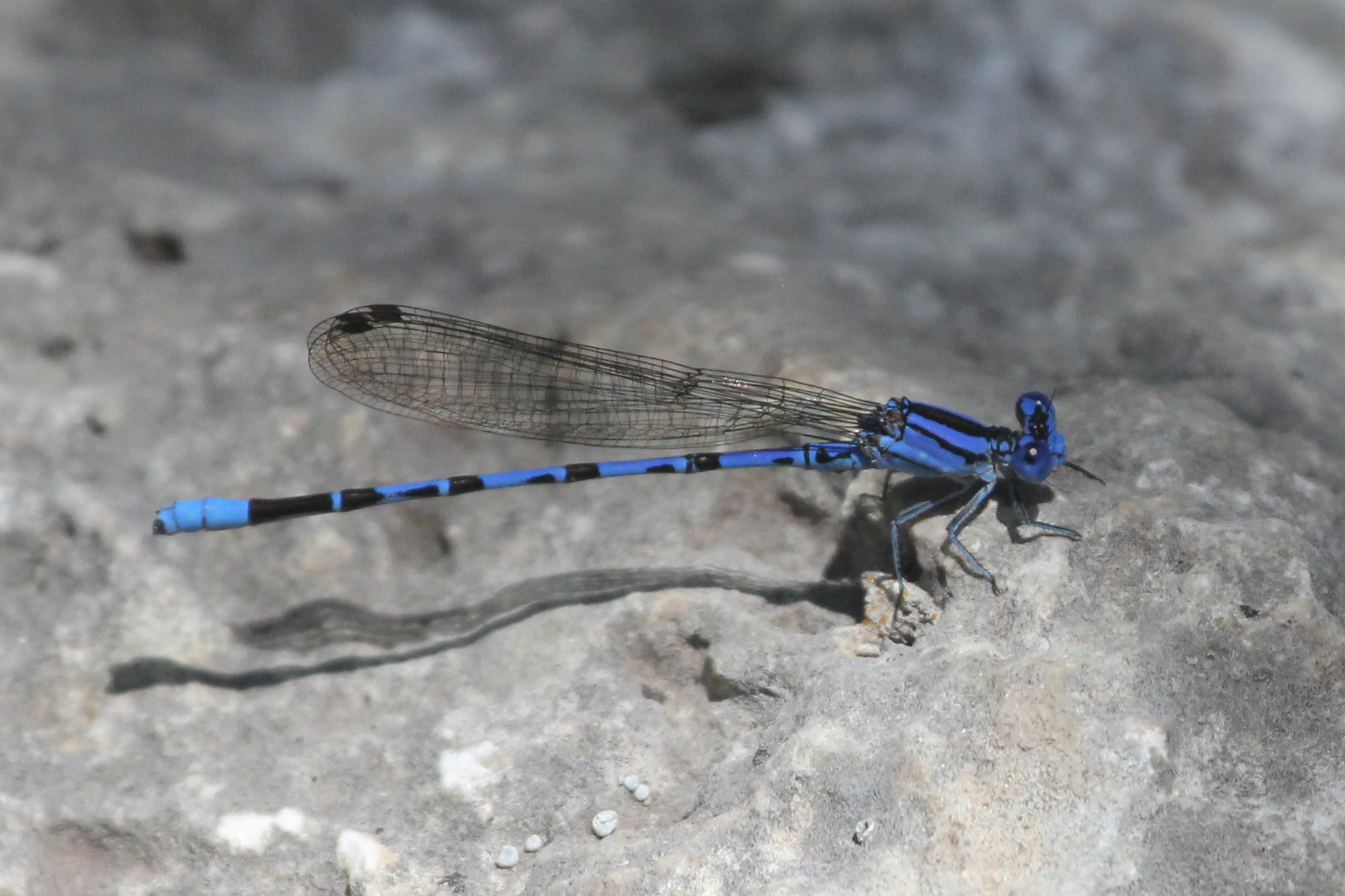
Springwater Dancer
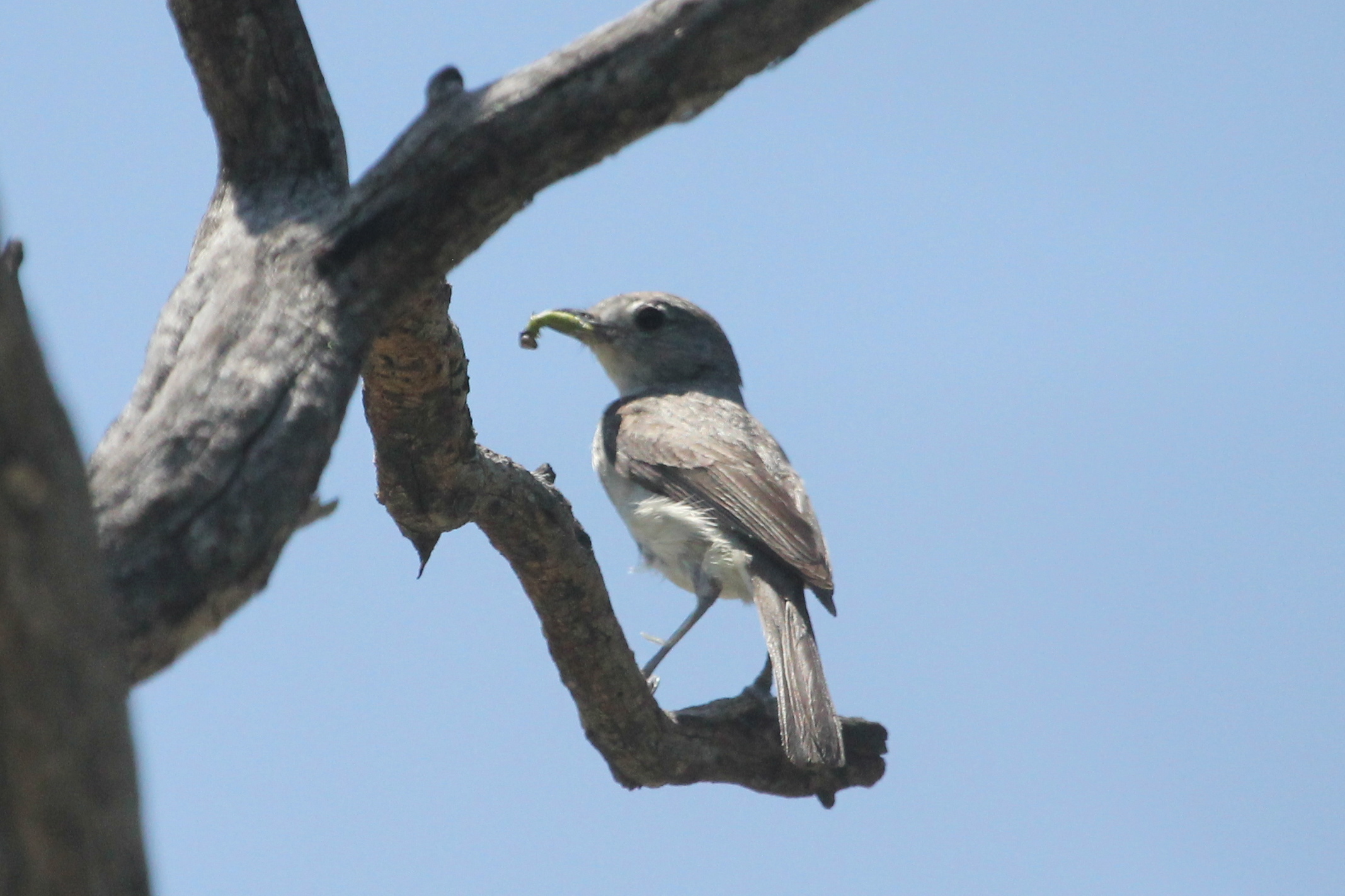
Gray Vireo

Gray Vireo
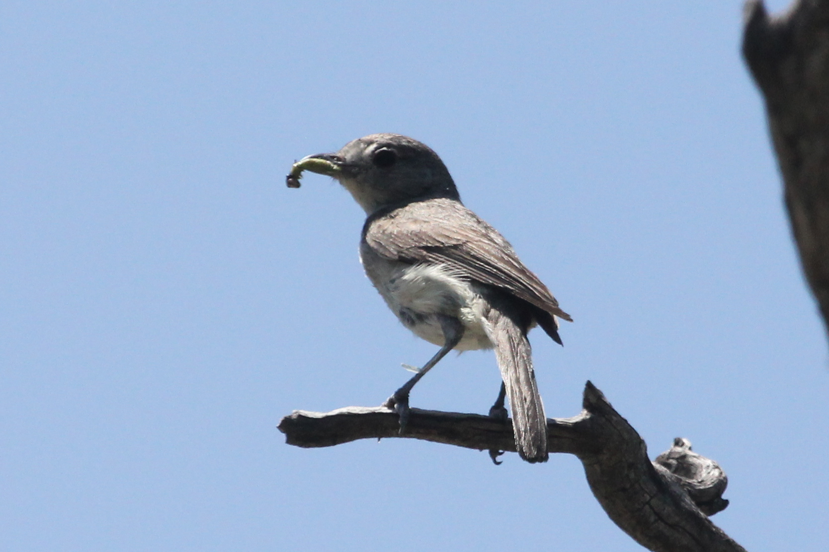
Gray Vireo

Antler Gate

Garison Ranch
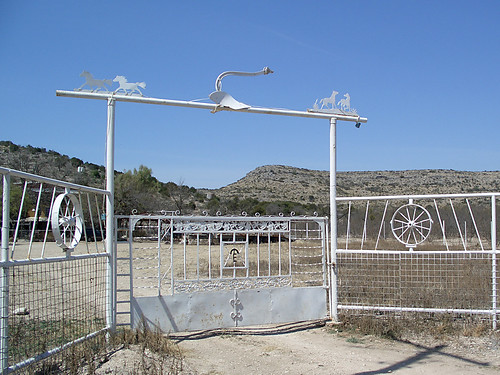
Ranch Gate
Topographic Map of TX-, Texas, USA
Find elevation by address:

Places near TX-, Texas, USA:
Val Verde County
Crockett County
5020 Tx-163
Ozona
Ozona
Comstock
Bob White Drive
510 Amistad
509 W Chestnut St
410 Del Rio St
407 Del Rio St
404 Martin St
802 Mesquite St
802 Mesquite St
203 Menard Ave
124 W Plum St
Sonora
Surestay Hotel By Best Western Sonora
Carta Valley
Shoreline Dr, Del Rio, TX, USA
Recent Searches:
- Elevation of Corso Fratelli Cairoli, 35, Macerata MC, Italy
- Elevation of Tallevast Rd, Sarasota, FL, USA
- Elevation of 4th St E, Sonoma, CA, USA
- Elevation of Black Hollow Rd, Pennsdale, PA, USA
- Elevation of Oakland Ave, Williamsport, PA, USA
- Elevation of Pedrógão Grande, Portugal
- Elevation of Klee Dr, Martinsburg, WV, USA
- Elevation of Via Roma, Pieranica CR, Italy
- Elevation of Tavkvetili Mountain, Georgia
- Elevation of Hartfords Bluff Cir, Mt Pleasant, SC, USA