Elevation of Vännäs NV, Sweden
Location: Sweden > Västerbotten County > Vännäs >
Longitude: 19.6066742
Latitude: 63.9854774
Elevation: 96m / 315feet
Barometric Pressure: 100KPa
Elevation Map:
Satellite Map:
Related Photos:

View from the deck
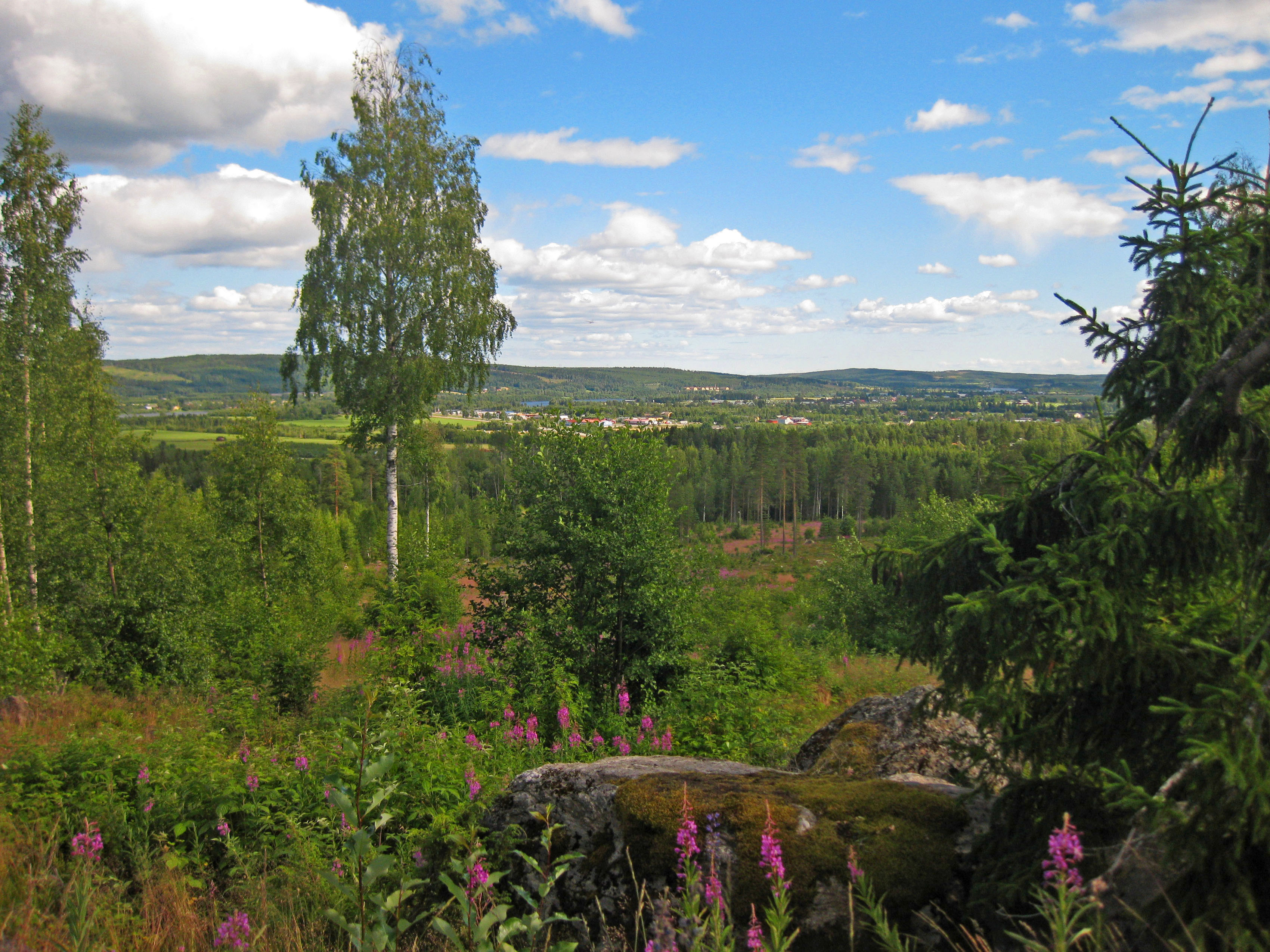
Mountaintop view

Slain birch
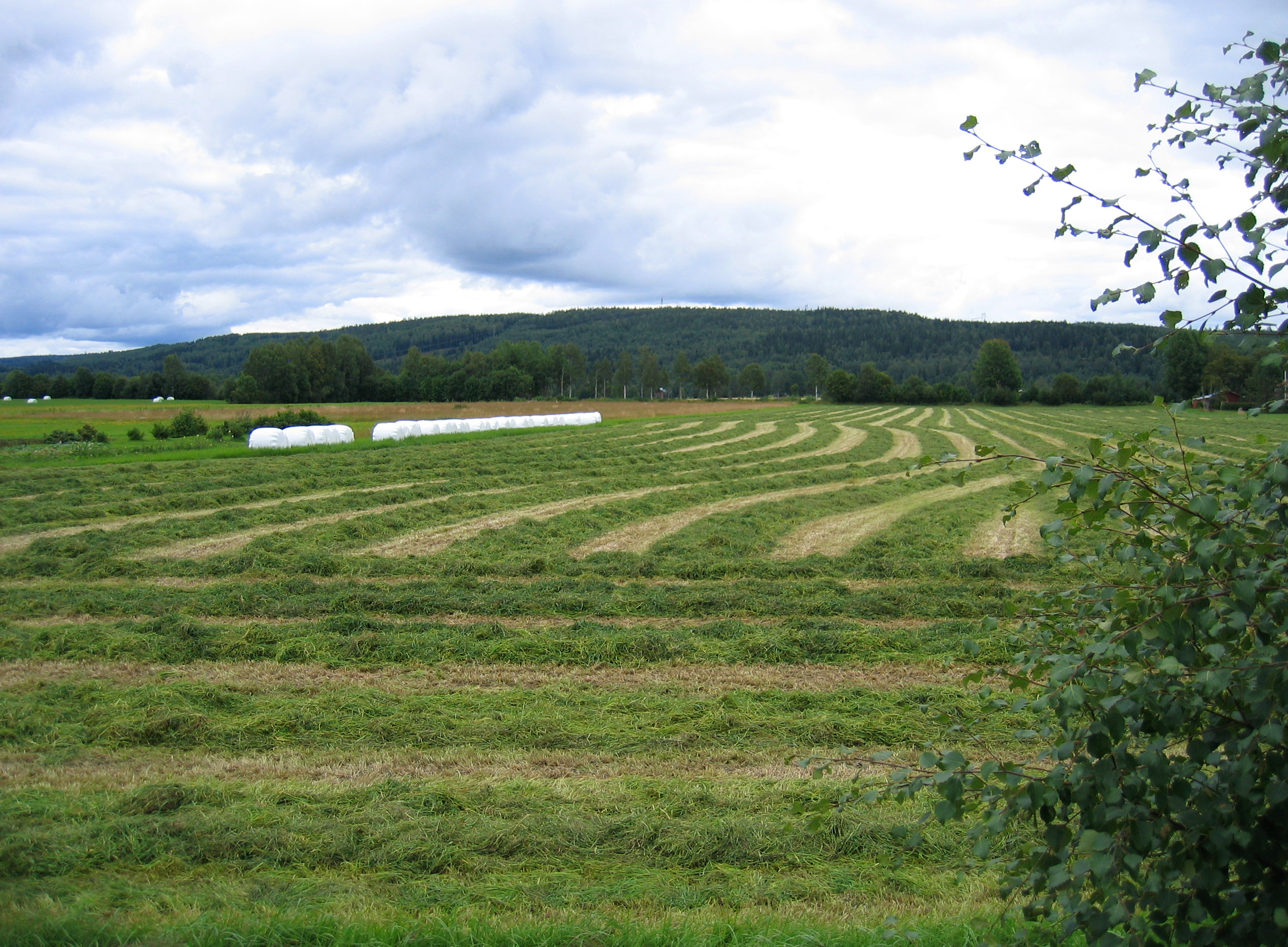
Newly mown hay
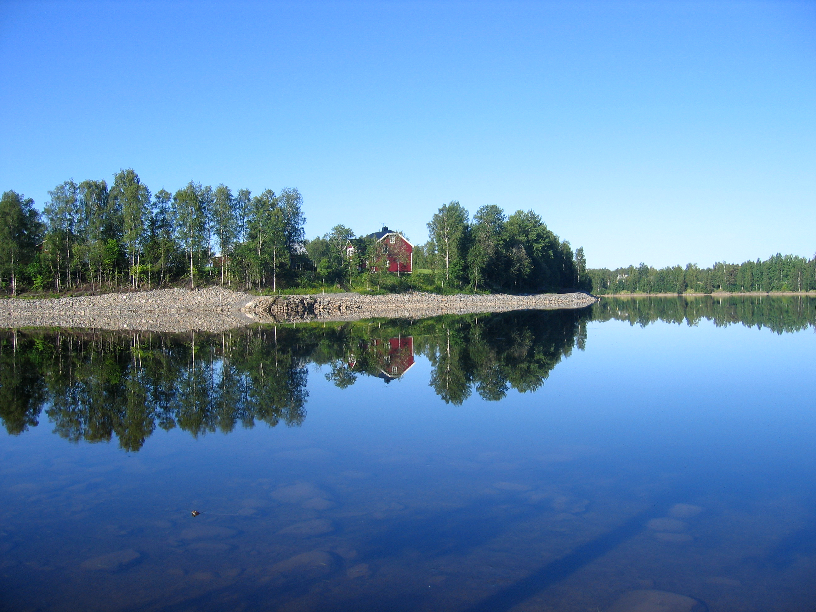
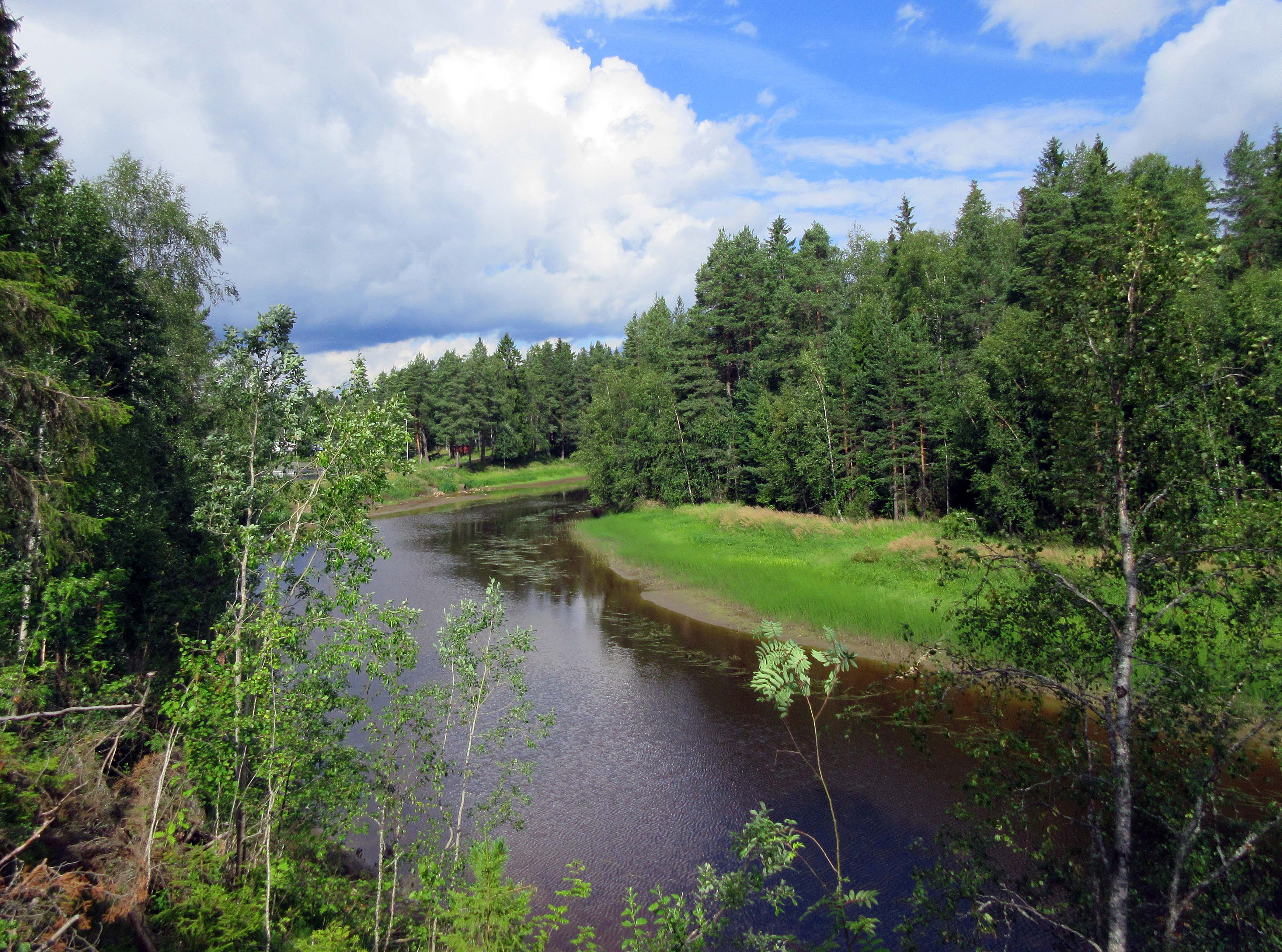
Umeå river
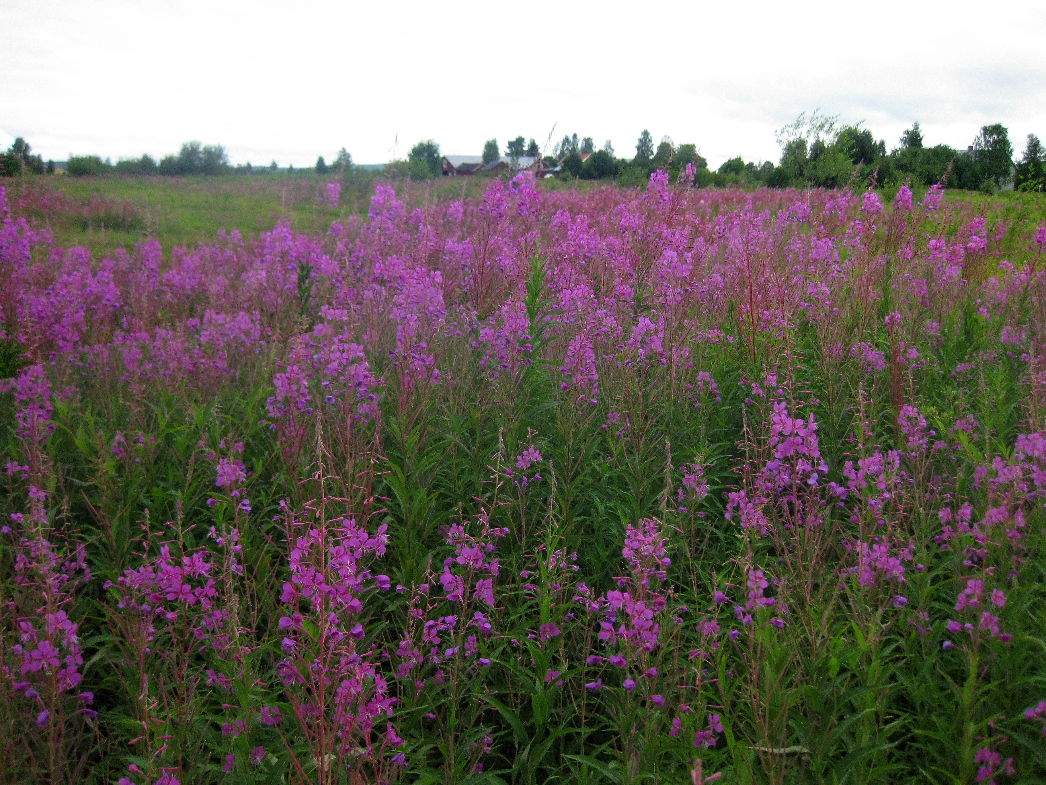
Colorful weeds

Tallbacken Camping

Lycaena virgaureae (scarce copper)

Skipper ( Ochlodes sylvanus)

Sunlight behind trees

Umeå river
Lovely nature
Topographic Map of Vännäs NV, Sweden
Find elevation by address:

Places in Vännäs NV, Sweden:
Places near Vännäs NV, Sweden:
Vindeln S
Nordmaling No
ÅLIDEN 4, 91 Nordmaling, Sweden
Vindeln
Djupsjö
Granö
Djupsjö, 91 Nordmaling, Sweden
Ledusjö
Ledusjö 61, 91 Nordmaling, Sweden
Vindeln N
Nyvik
Nyvik, 91 Nordmaling, Sweden
Nordmaling S
SKATAN 7, 75 Åmsele, Sweden
Rönnholm
LÅNGTRÄSK 9, 92 Vindeln, Sweden
Vindeln V
Rönnholm 44, 92 Lögdeå, Sweden
Långron
Långron, 92 Lögdeå, Sweden
Recent Searches:
- Elevation of Corso Fratelli Cairoli, 35, Macerata MC, Italy
- Elevation of Tallevast Rd, Sarasota, FL, USA
- Elevation of 4th St E, Sonoma, CA, USA
- Elevation of Black Hollow Rd, Pennsdale, PA, USA
- Elevation of Oakland Ave, Williamsport, PA, USA
- Elevation of Pedrógão Grande, Portugal
- Elevation of Klee Dr, Martinsburg, WV, USA
- Elevation of Via Roma, Pieranica CR, Italy
- Elevation of Tavkvetili Mountain, Georgia
- Elevation of Hartfords Bluff Cir, Mt Pleasant, SC, USA