Elevation of Rönnholm 44, 92 Lögdeå, Sweden
Location: Sweden > Västerbotten County > Rönnholm >
Longitude: 19.431653
Latitude: 63.4552411
Elevation: 1m / 3feet
Barometric Pressure: 101KPa
Elevation Map:
Satellite Map:
Related Photos:
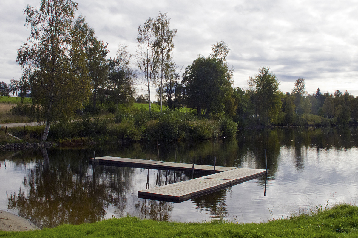
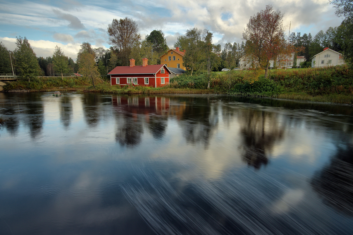
Picnic View
Olofsfors bruk 3
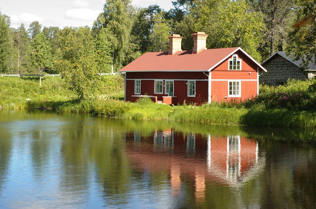
Place For a Picnic
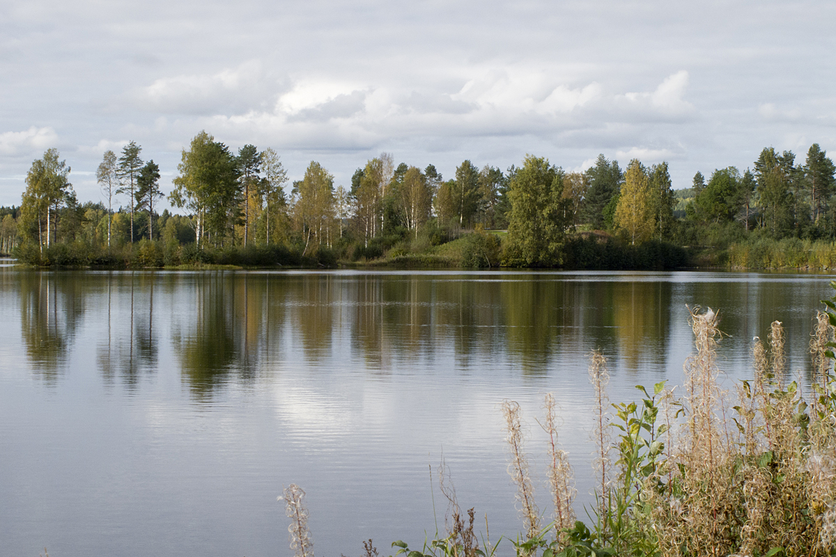
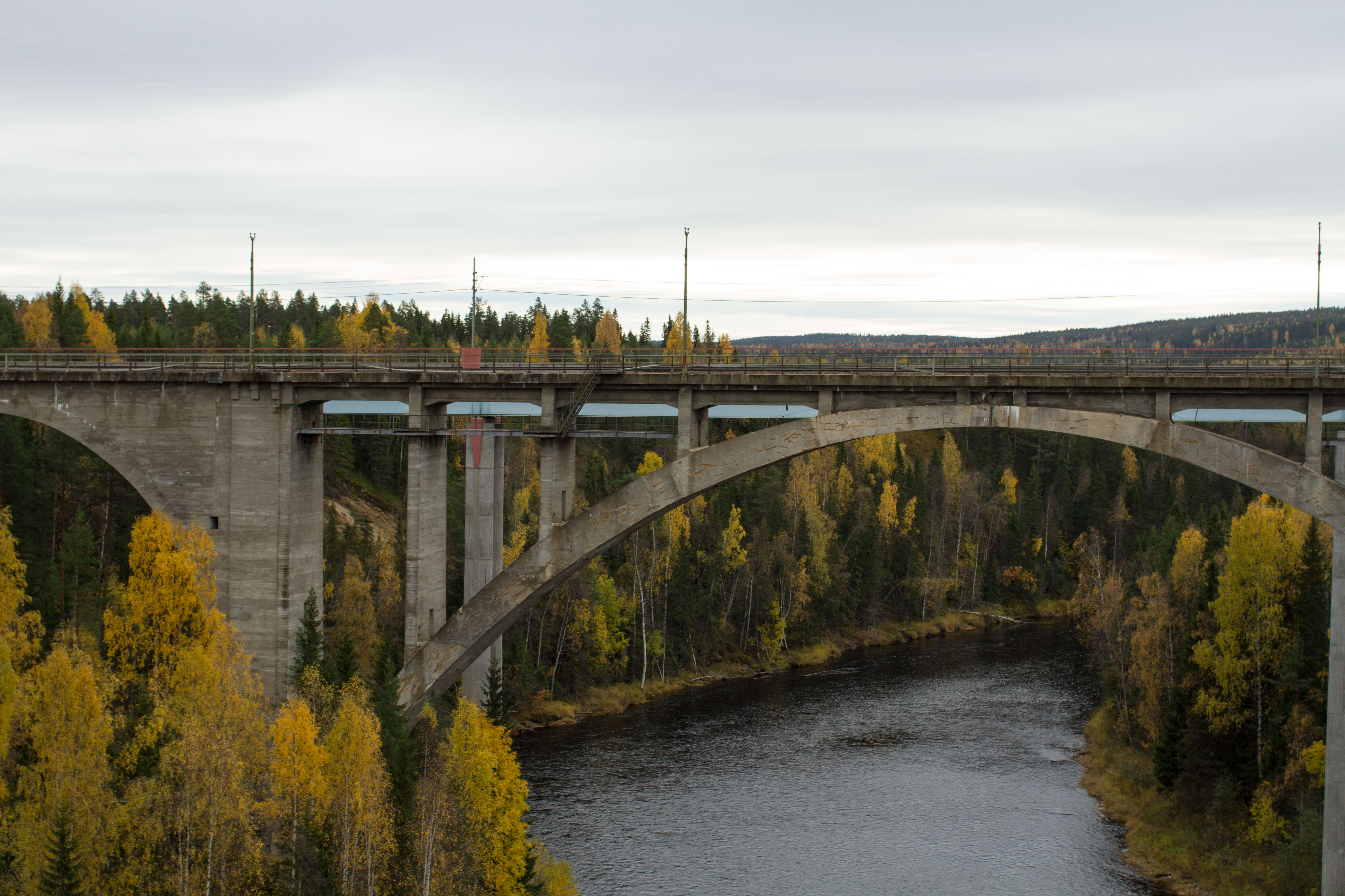
Storforsen, Öreälven
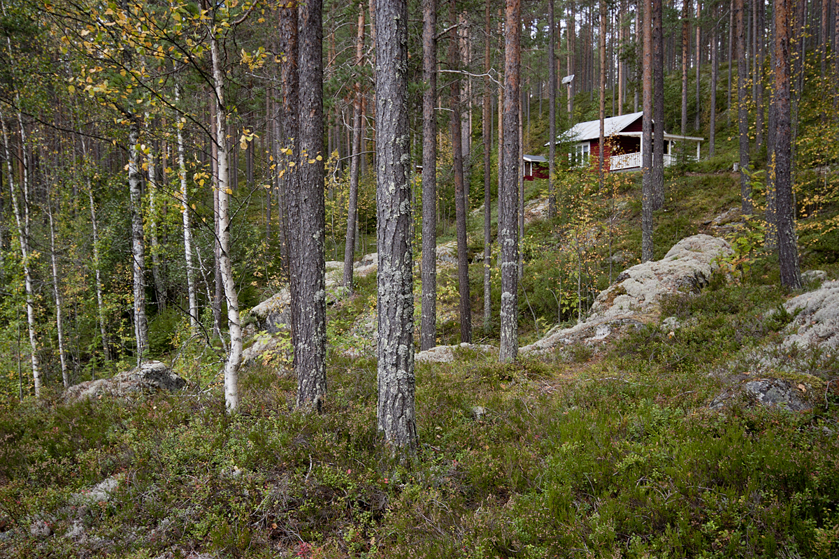
Olofsfors Bruk

parque sob a ponte

Klabböle
quebra-cabeça
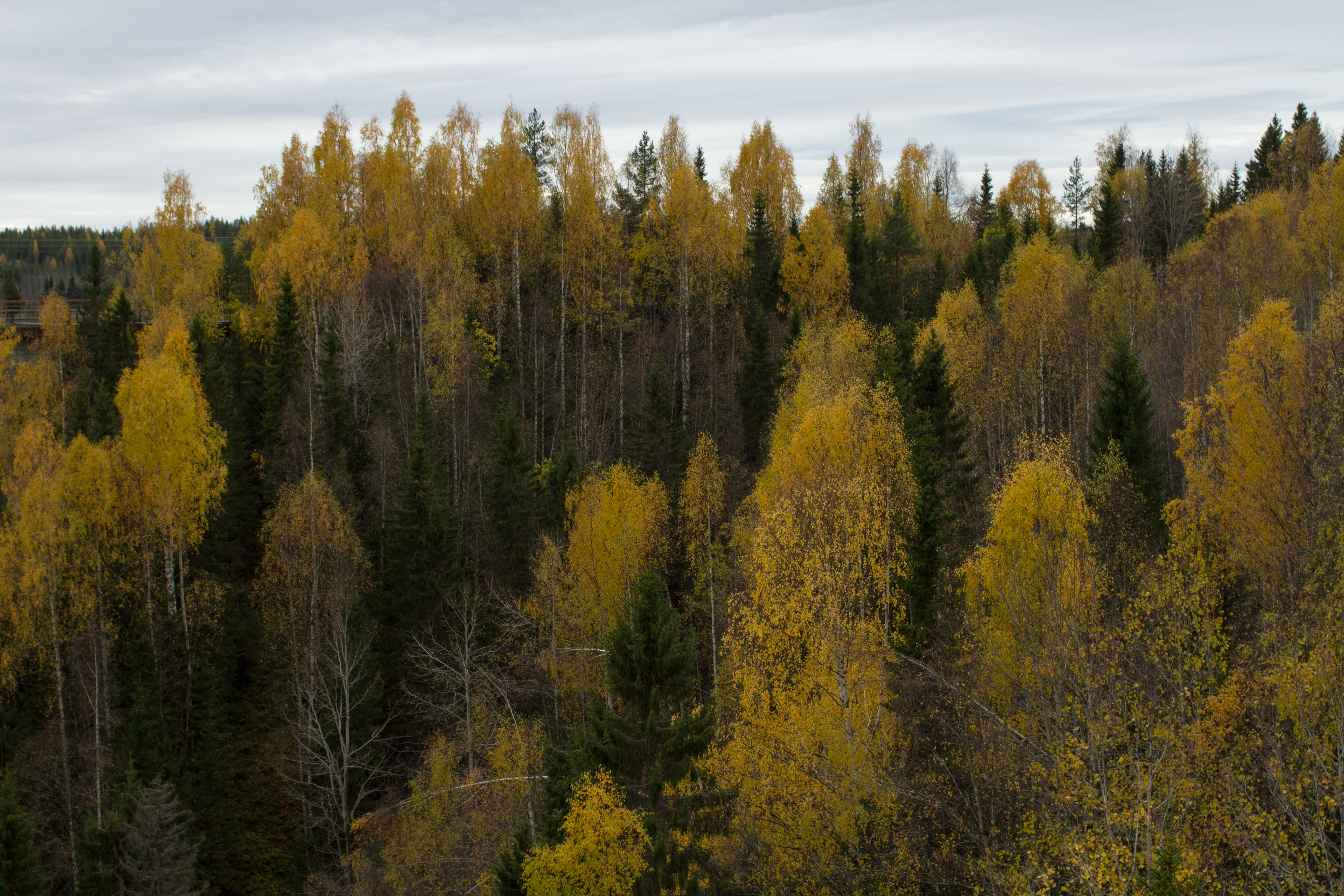
cores do outono
wide range
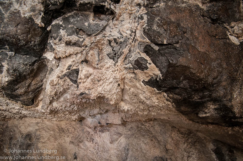
Coralloids on rock (dolerite)
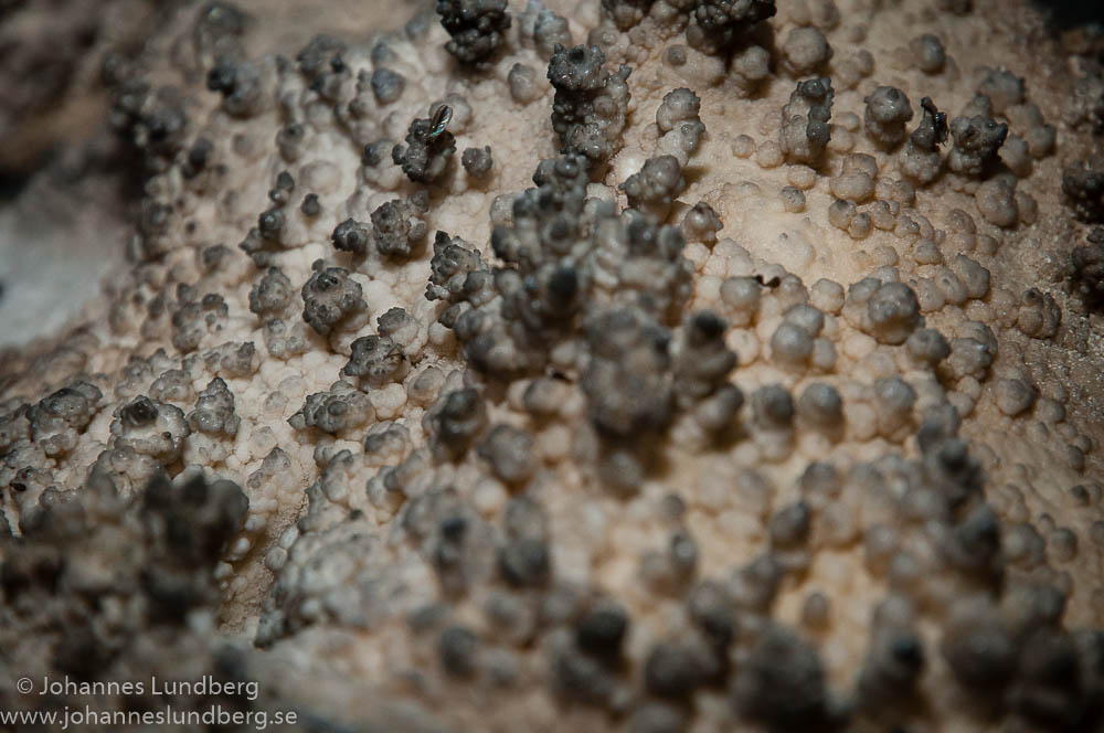
Coralloid landscape
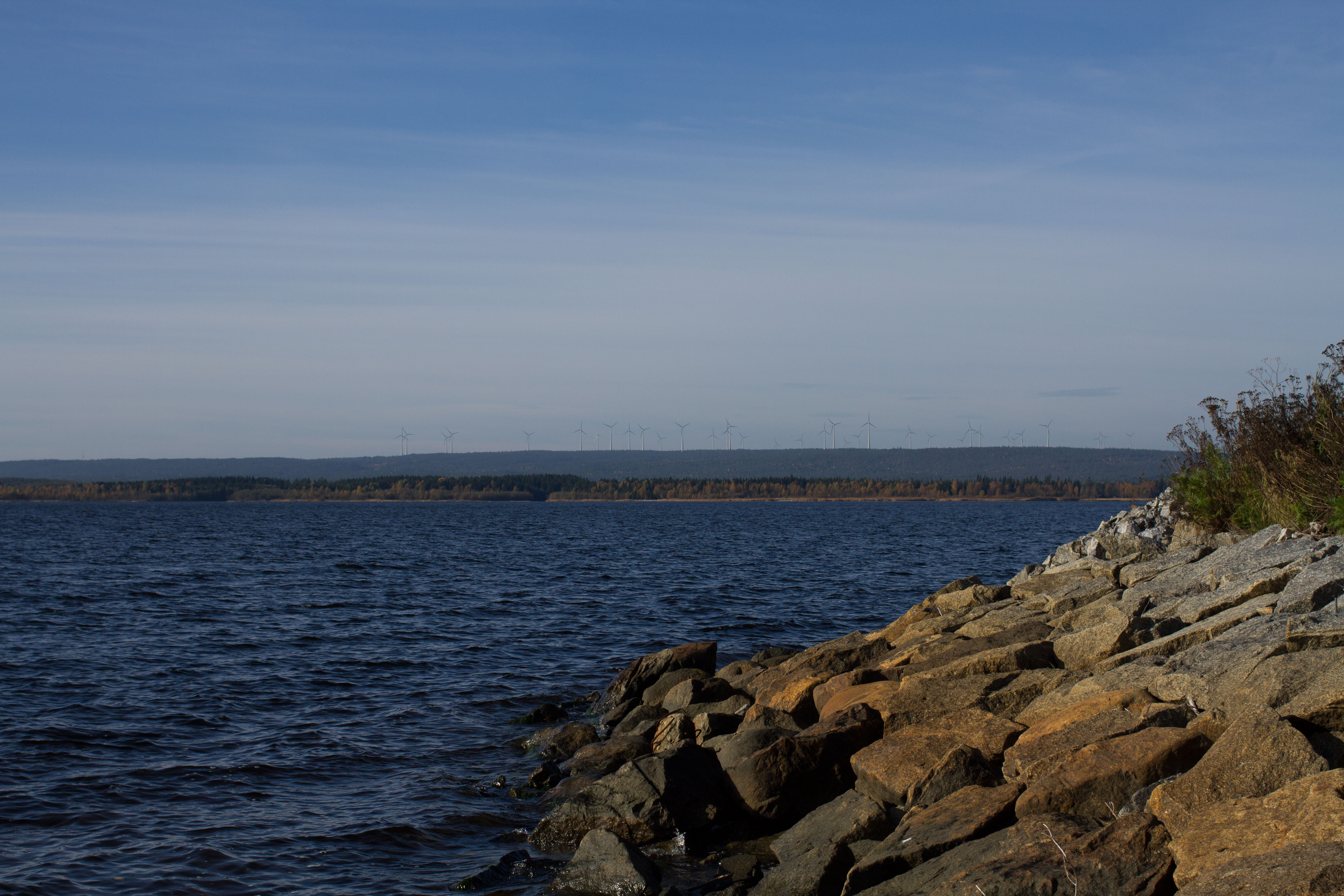
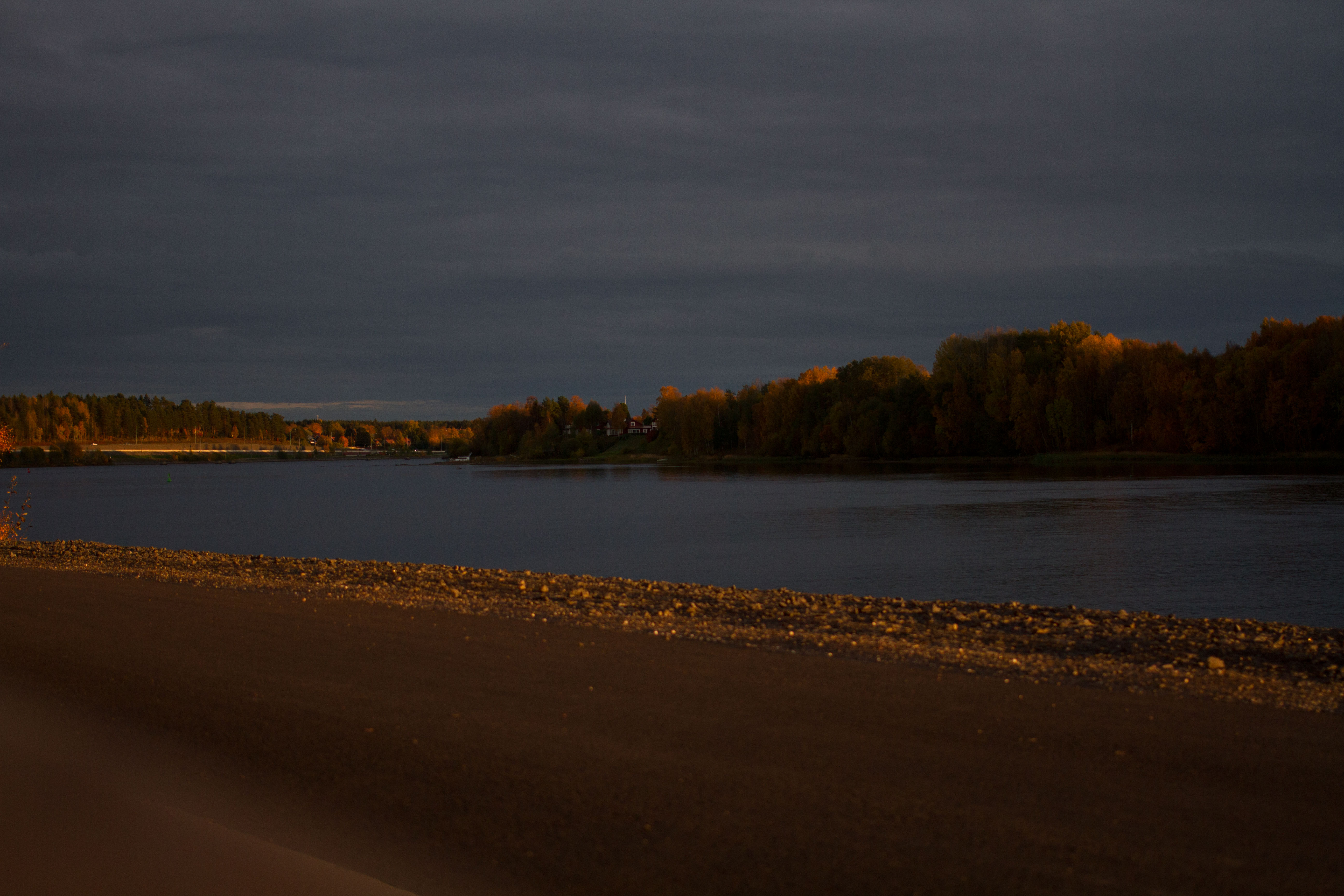
Mar Suécia
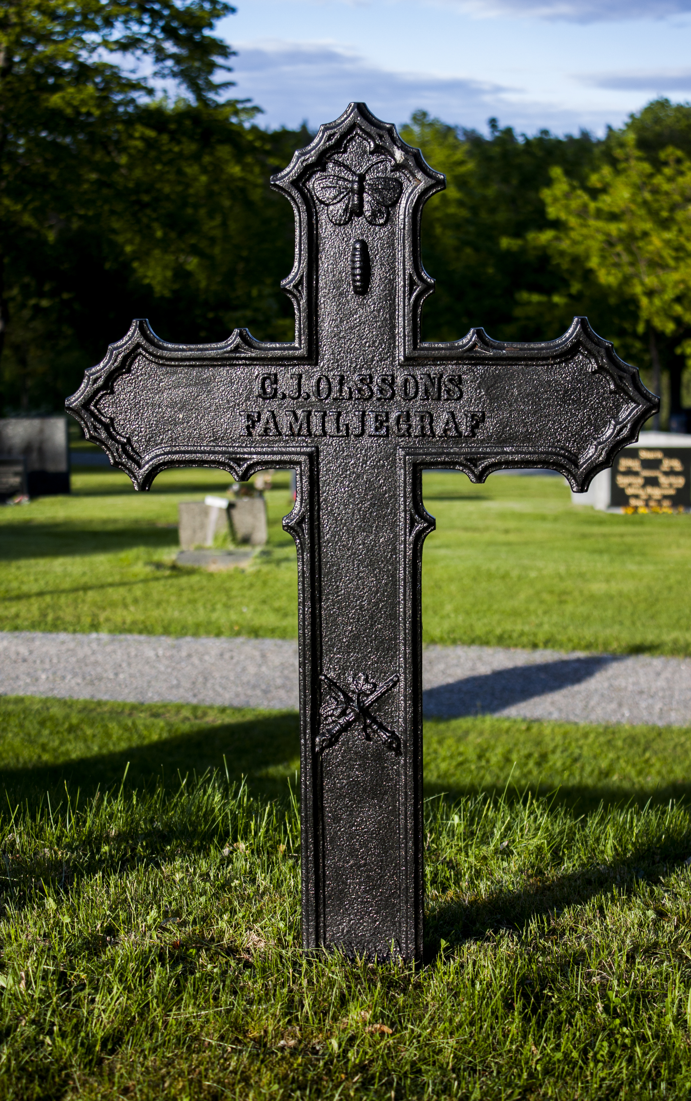
Grundsunda cemetery
Topographic Map of Rönnholm 44, 92 Lögdeå, Sweden
Find elevation by address:

Places near Rönnholm 44, 92 Lögdeå, Sweden:
Rönnholm
DRIVÖREN, 92 Lögdeå, Sweden
Långron, 92 Lögdeå, Sweden
Långron
DrivÖren 22
Nyvik, 91 Nordmaling, Sweden
Nyvik
Ledusjö 61, 91 Nordmaling, Sweden
Ledusjö
Djupsjö, 91 Nordmaling, Sweden
Nordmaling S
Djupsjö
TREDJEVIKEN, 31 Husum, Sweden
ÅLIDEN 4, 91 Nordmaling, Sweden
Sandsvägen 9, 31 Husum, Sweden
Nordmaling No
Örnsköldsvik Ö
Vännäs Nv
Örnsköldsvik N
Vindeln S
Recent Searches:
- Elevation of Corso Fratelli Cairoli, 35, Macerata MC, Italy
- Elevation of Tallevast Rd, Sarasota, FL, USA
- Elevation of 4th St E, Sonoma, CA, USA
- Elevation of Black Hollow Rd, Pennsdale, PA, USA
- Elevation of Oakland Ave, Williamsport, PA, USA
- Elevation of Pedrógão Grande, Portugal
- Elevation of Klee Dr, Martinsburg, WV, USA
- Elevation of Via Roma, Pieranica CR, Italy
- Elevation of Tavkvetili Mountain, Georgia
- Elevation of Hartfords Bluff Cir, Mt Pleasant, SC, USA