Elevation of Nordmaling S, Sweden
Location: Sweden > Västerbotten County >
Longitude: 19.6375413
Latitude: 63.5006243
Elevation: 10m / 33feet
Barometric Pressure: 101KPa
Elevation Map:
Satellite Map:
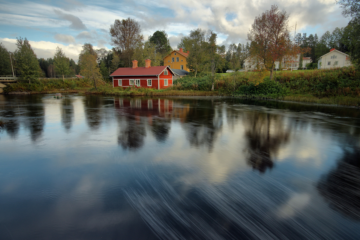
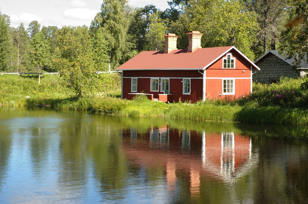
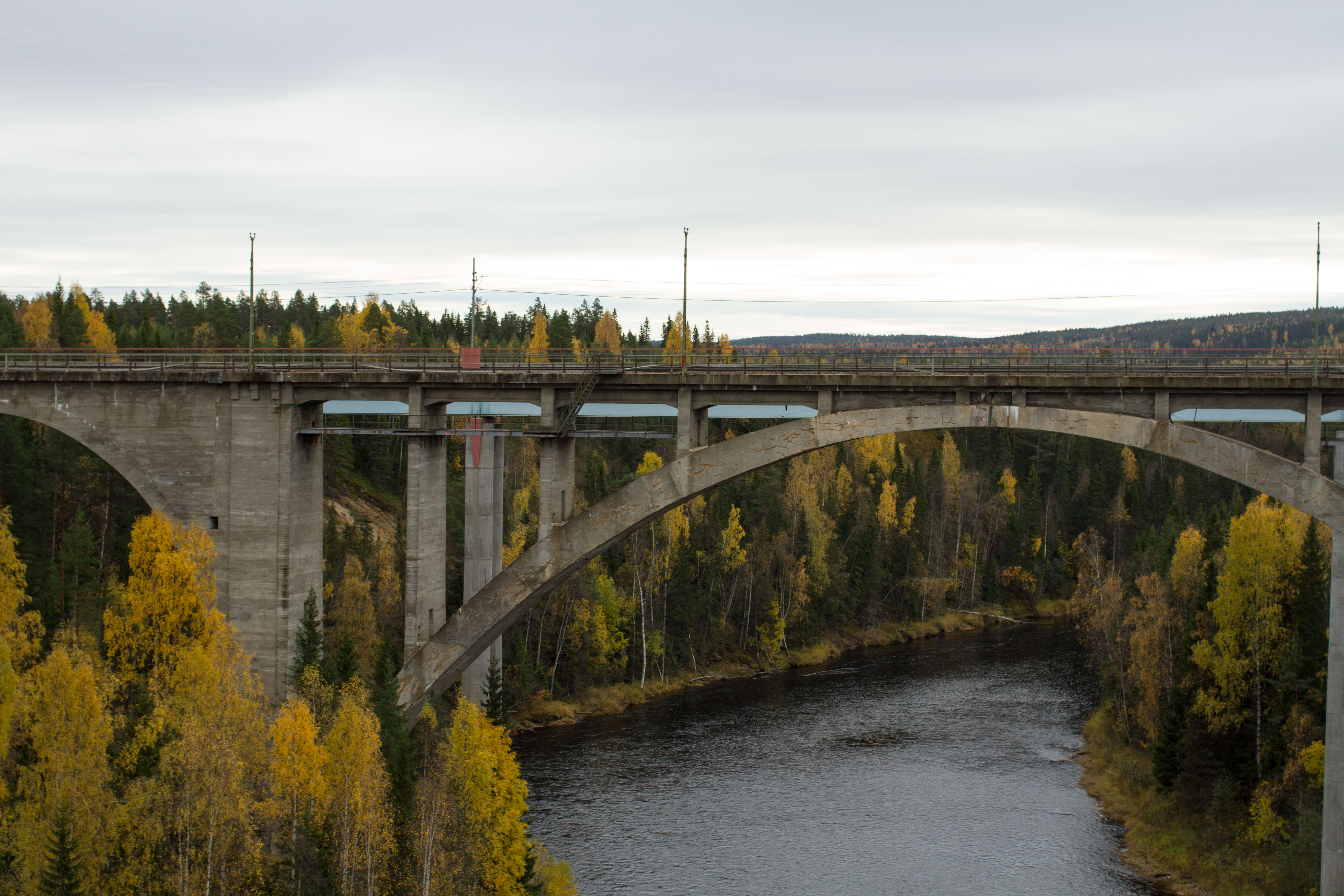
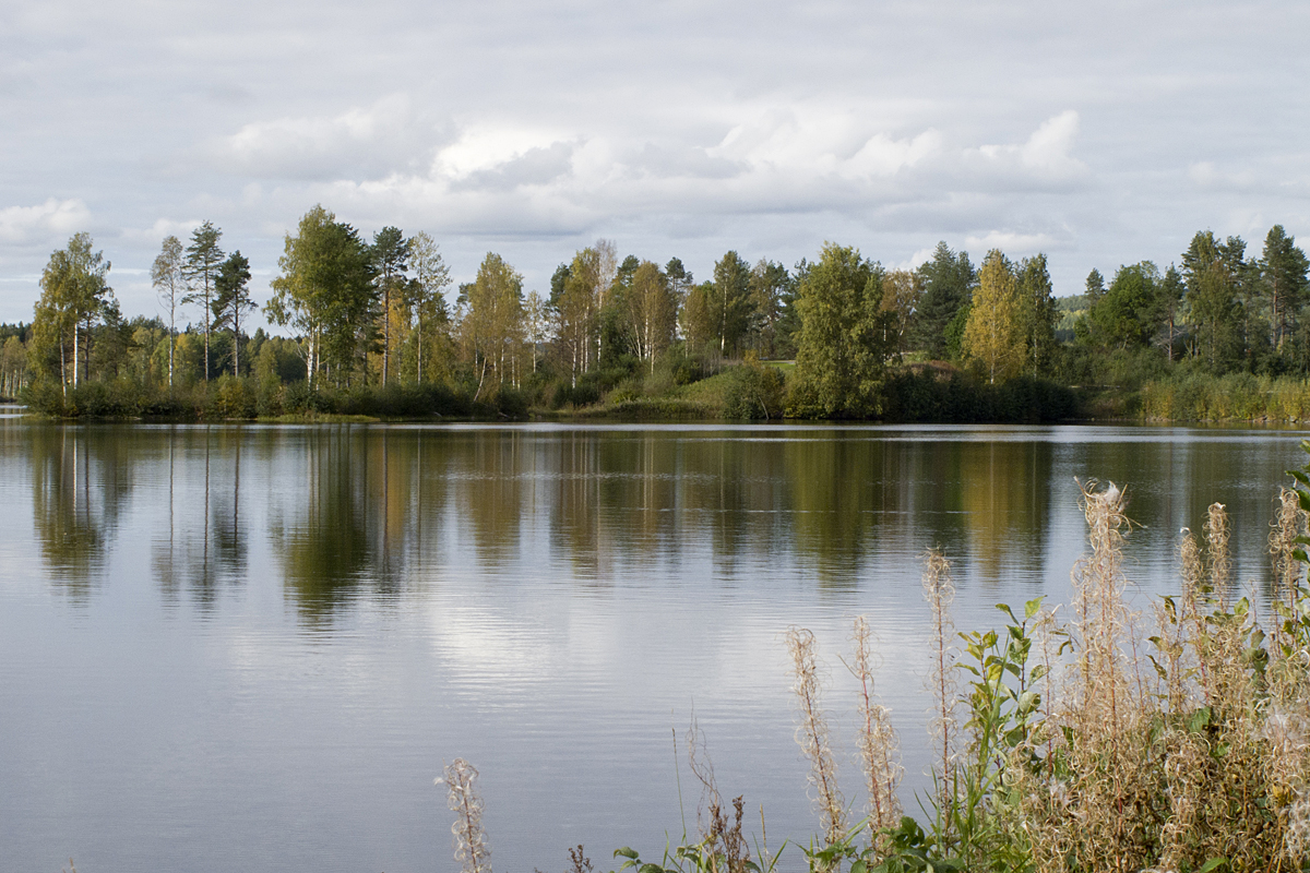
Related Photos:
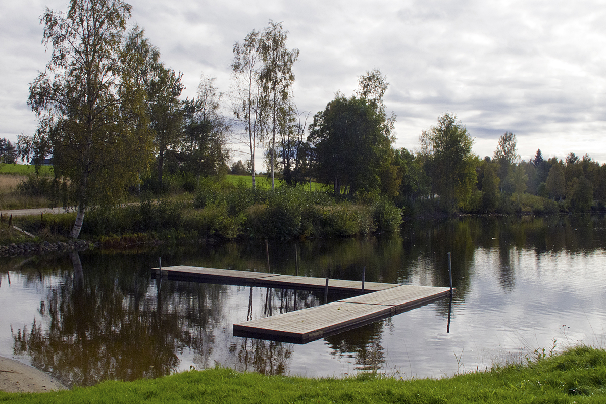
Picnic View
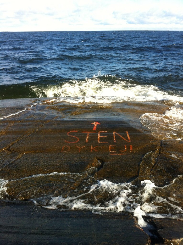
Sten - dyk ej!
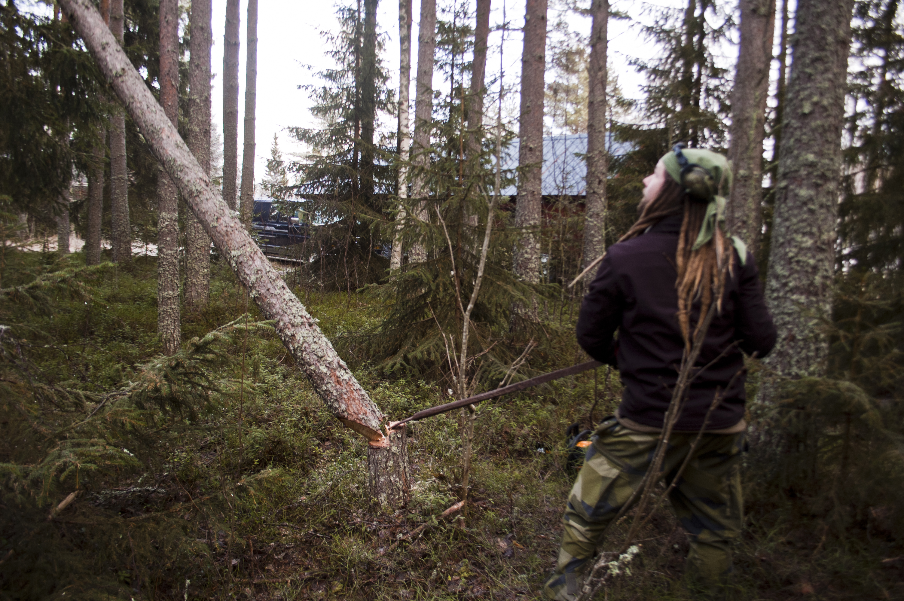
Gunnar and small tree
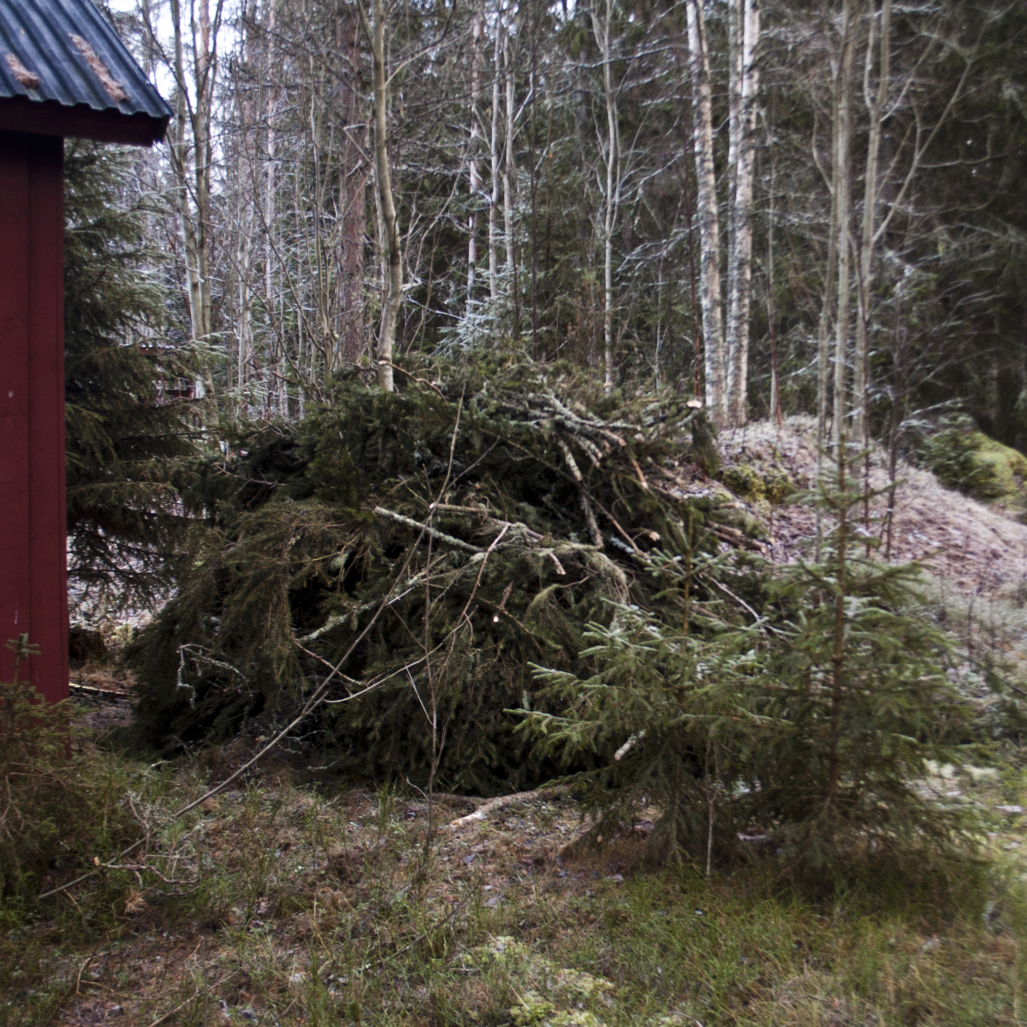
Future bonfire
Olofsfors Bruk
Olofsfors bruk 3

parque sob a ponte

Klabböle

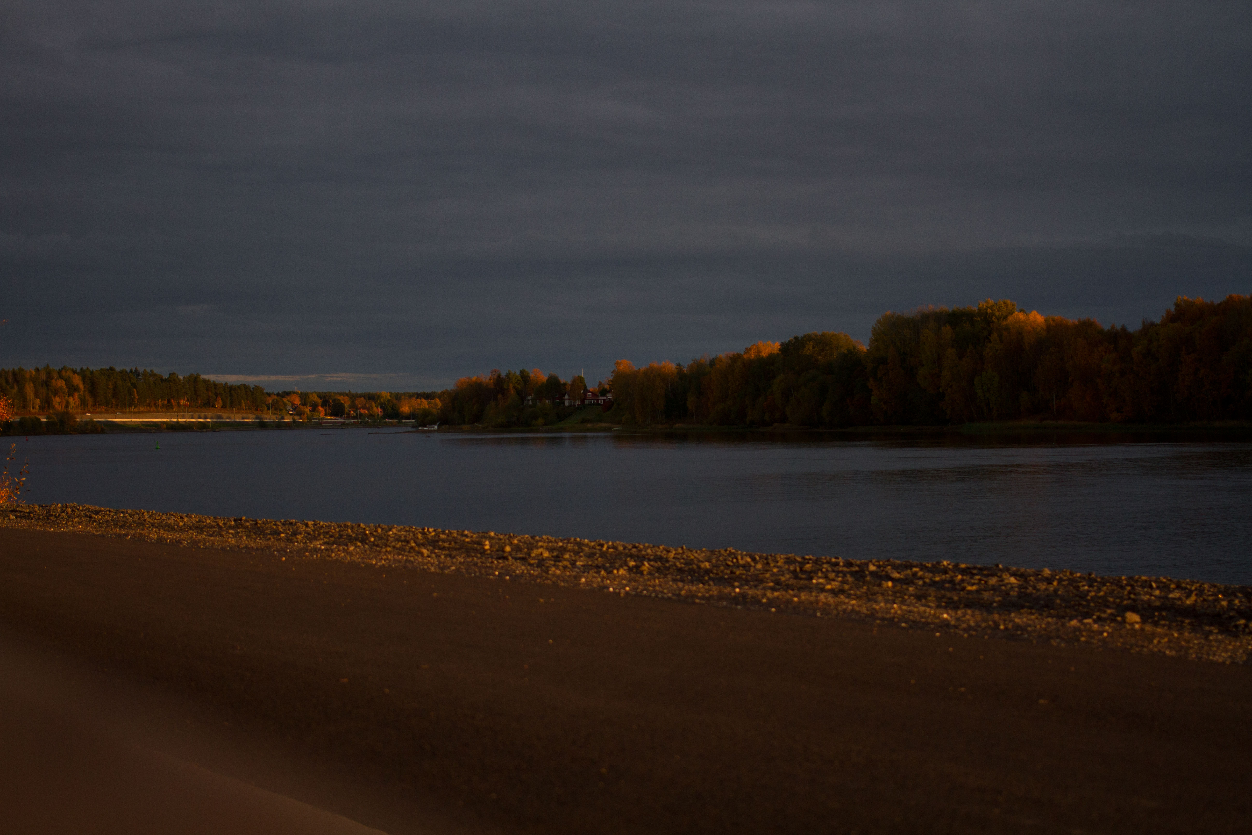
Northern Swedish landscape at night
quebra-cabeça
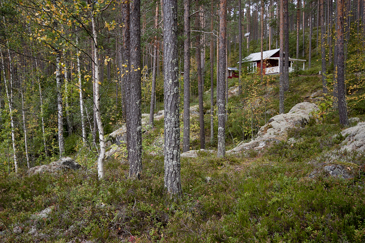
Place For a Picnic
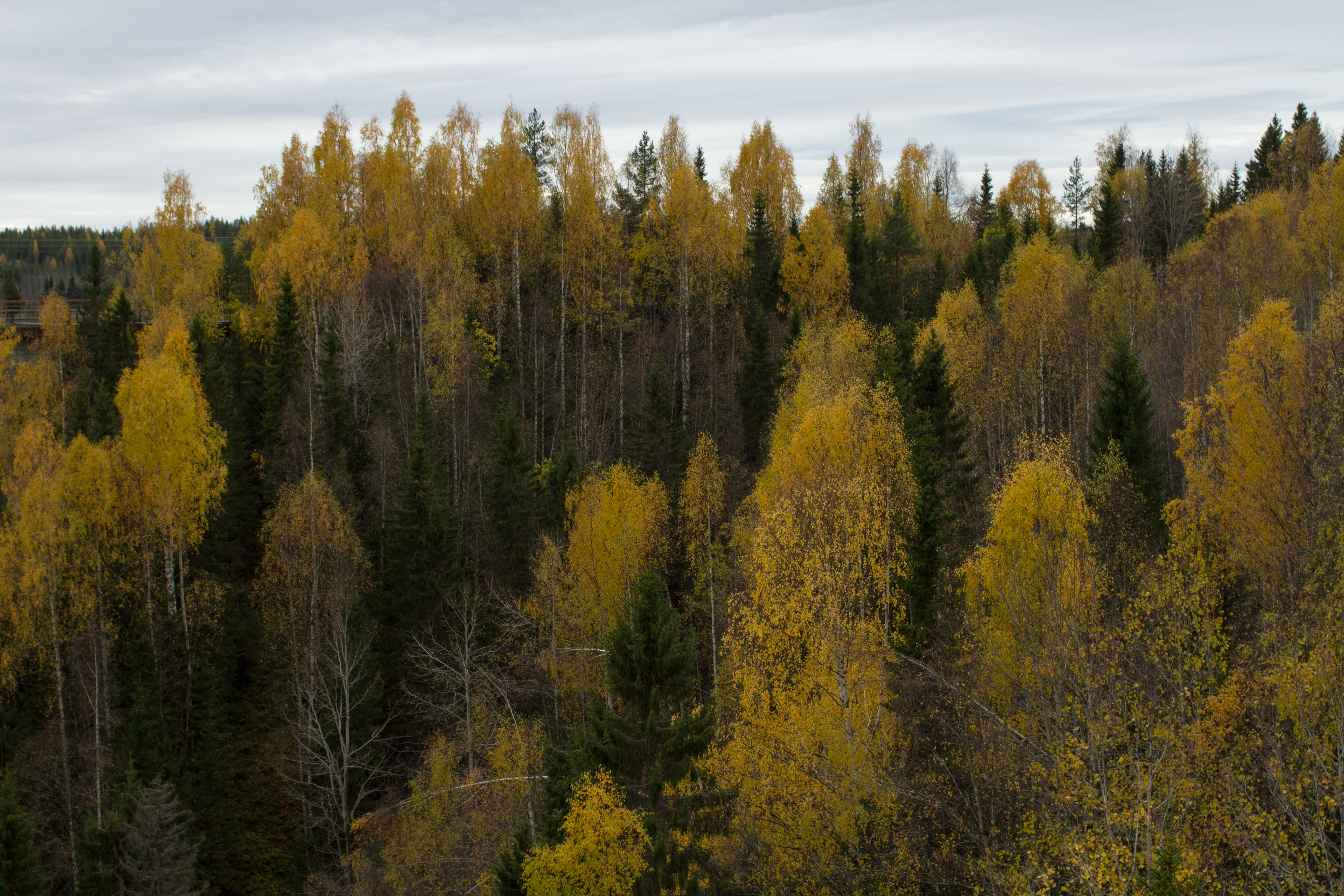
cores do outono
wide range
Storforsen, Öreälven
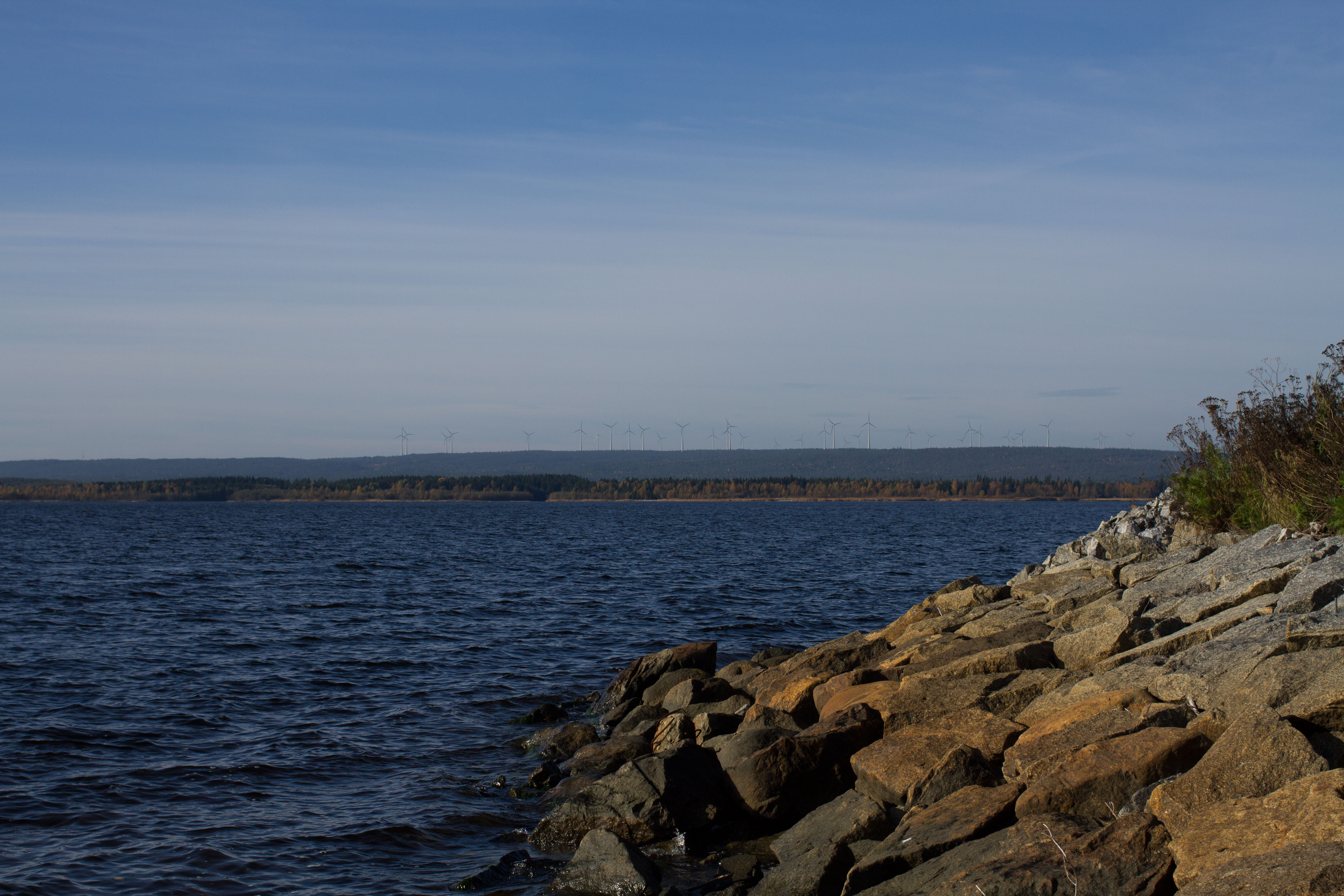
Mar Suécia
Topographic Map of Nordmaling S, Sweden
Find elevation by address:

Places in Nordmaling S, Sweden:
Places near Nordmaling S, Sweden:
Nyvik
Nyvik, 91 Nordmaling, Sweden
Långron
Långron, 92 Lögdeå, Sweden
Rönnholm 44, 92 Lögdeå, Sweden
Nordmaling No
Rönnholm
Ledusjö
Ledusjö 61, 91 Nordmaling, Sweden
Djupsjö
Djupsjö, 91 Nordmaling, Sweden
DRIVÖREN, 92 Lögdeå, Sweden
DrivÖren 22
ÅLIDEN 4, 91 Nordmaling, Sweden
TREDJEVIKEN, 31 Husum, Sweden
Vännäs Nv
Sandsvägen 9, 31 Husum, Sweden
Vindeln S
Örnsköldsvik Ö
Örnsköldsvik N
Recent Searches:
- Elevation of Corso Fratelli Cairoli, 35, Macerata MC, Italy
- Elevation of Tallevast Rd, Sarasota, FL, USA
- Elevation of 4th St E, Sonoma, CA, USA
- Elevation of Black Hollow Rd, Pennsdale, PA, USA
- Elevation of Oakland Ave, Williamsport, PA, USA
- Elevation of Pedrógão Grande, Portugal
- Elevation of Klee Dr, Martinsburg, WV, USA
- Elevation of Via Roma, Pieranica CR, Italy
- Elevation of Tavkvetili Mountain, Georgia
- Elevation of Hartfords Bluff Cir, Mt Pleasant, SC, USA