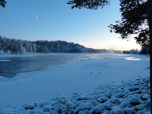
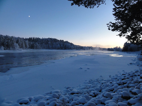
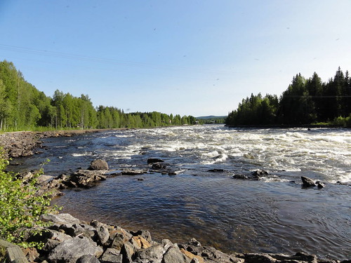
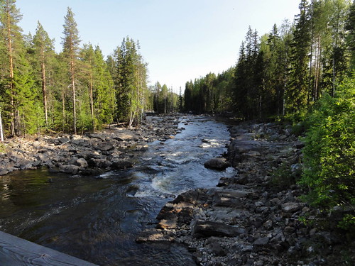
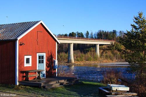
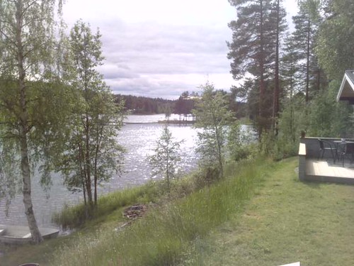
Elevation map of Vindeln, Sweden
Location: Sweden > Västerbotten County >
Longitude: 19.4265682
Latitude: 64.2819067
Elevation: 195m / 640feet
Barometric Pressure: 99KPa
Related Photos:
Topographic Map of Vindeln, Sweden
Find elevation by address:

Places near Vindeln, Sweden:
Granö
SKATAN 7, 75 Åmsele, Sweden
Vindeln S
Vindeln N
Vindeln V
MALTBRÄNNA 12, 75 Åmsele, Sweden
LÅNGTRÄSK 9, 92 Vindeln, Sweden
Vännäs Nv
MÅRDSELEBY, 75 Åmsele, Sweden
BENDERS 1, 99 Lycksele, Sweden
ÅLIDEN 4, 91 Nordmaling, Sweden
Nordmaling No
Djupsjö
Djupsjö, 91 Nordmaling, Sweden
GUSTAVSHOLM 1, 99 Lycksele, Sweden
Ledusjö
Ledusjö 61, 91 Nordmaling, Sweden
Mjösjöby
Nyvik
Nyvik, 91 Nordmaling, Sweden
Recent Searches:
- Elevation of Corso Fratelli Cairoli, 35, Macerata MC, Italy
- Elevation of Tallevast Rd, Sarasota, FL, USA
- Elevation of 4th St E, Sonoma, CA, USA
- Elevation of Black Hollow Rd, Pennsdale, PA, USA
- Elevation of Oakland Ave, Williamsport, PA, USA
- Elevation of Pedrógão Grande, Portugal
- Elevation of Klee Dr, Martinsburg, WV, USA
- Elevation of Via Roma, Pieranica CR, Italy
- Elevation of Tavkvetili Mountain, Georgia
- Elevation of Hartfords Bluff Cir, Mt Pleasant, SC, USA

