Elevation of Utopia, W 10th St, Coffeyville, KS, USA
Location: United States > Kansas > Montgomery County > Coffeyville >
Longitude: -95.6179019
Latitude: 37.0341738
Elevation: 224m / 735feet
Barometric Pressure: 0KPa
Related Photos:
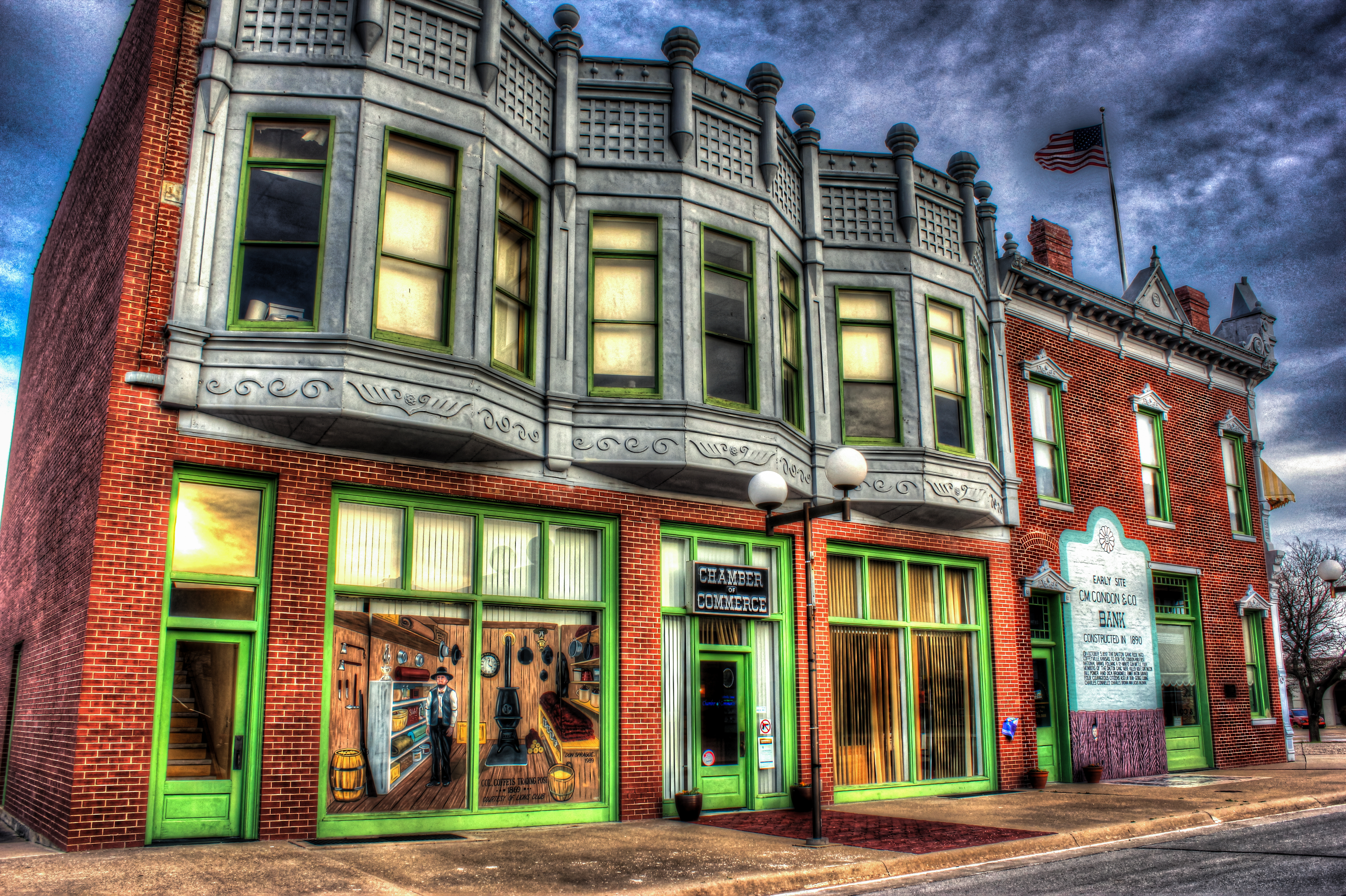
HDR Condon Bank side view
Utah and Travel
Memorial Hospital
Utah and Travel
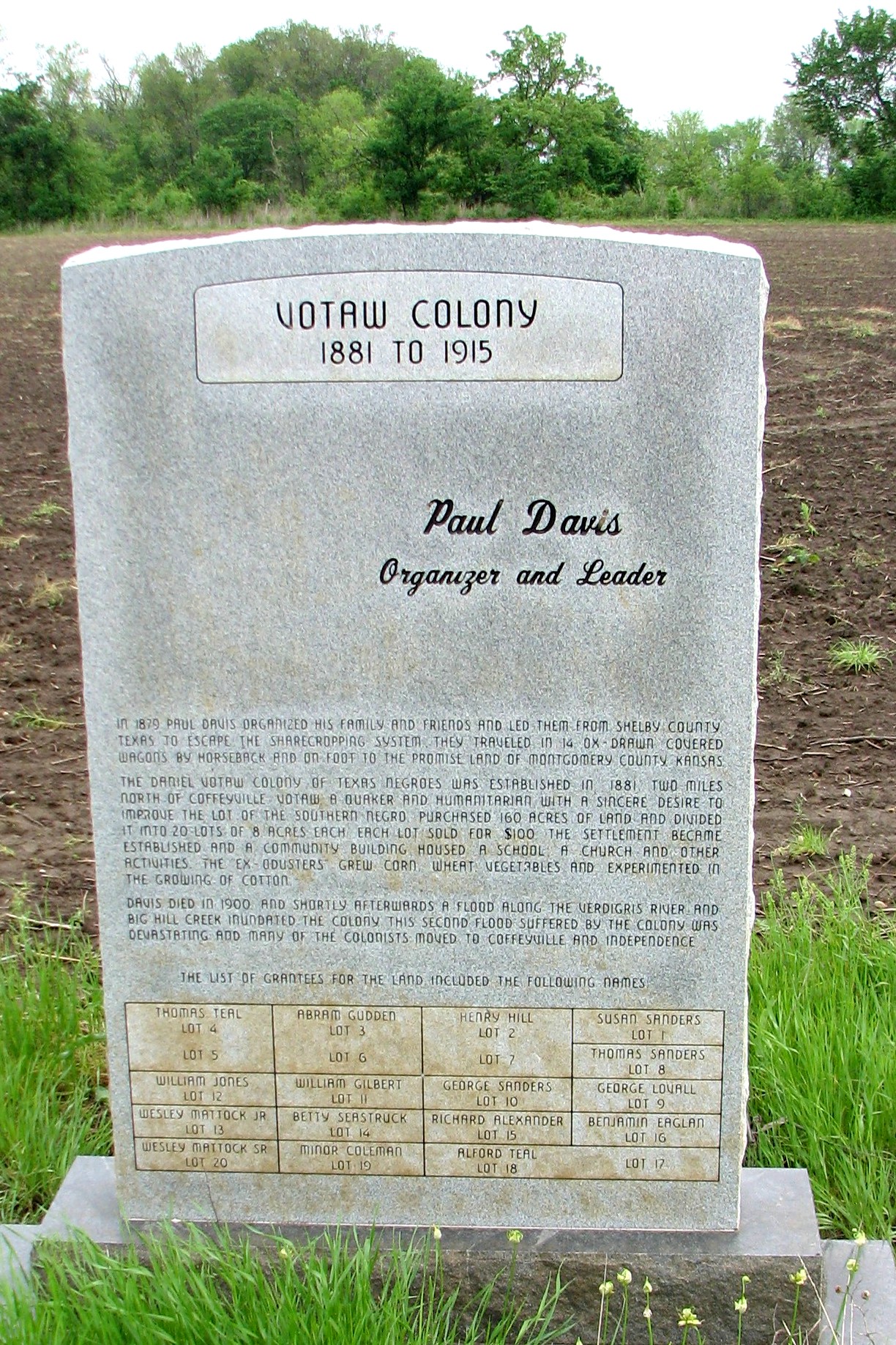
Votaw Colony

Utah and Travel
Valeda Kansas School
Coffeyville Kansas

Stateline Sunset

Pumpkin Creek

DSC_0040.JPG
horse family

Restview Cemetery

falling water in the woods
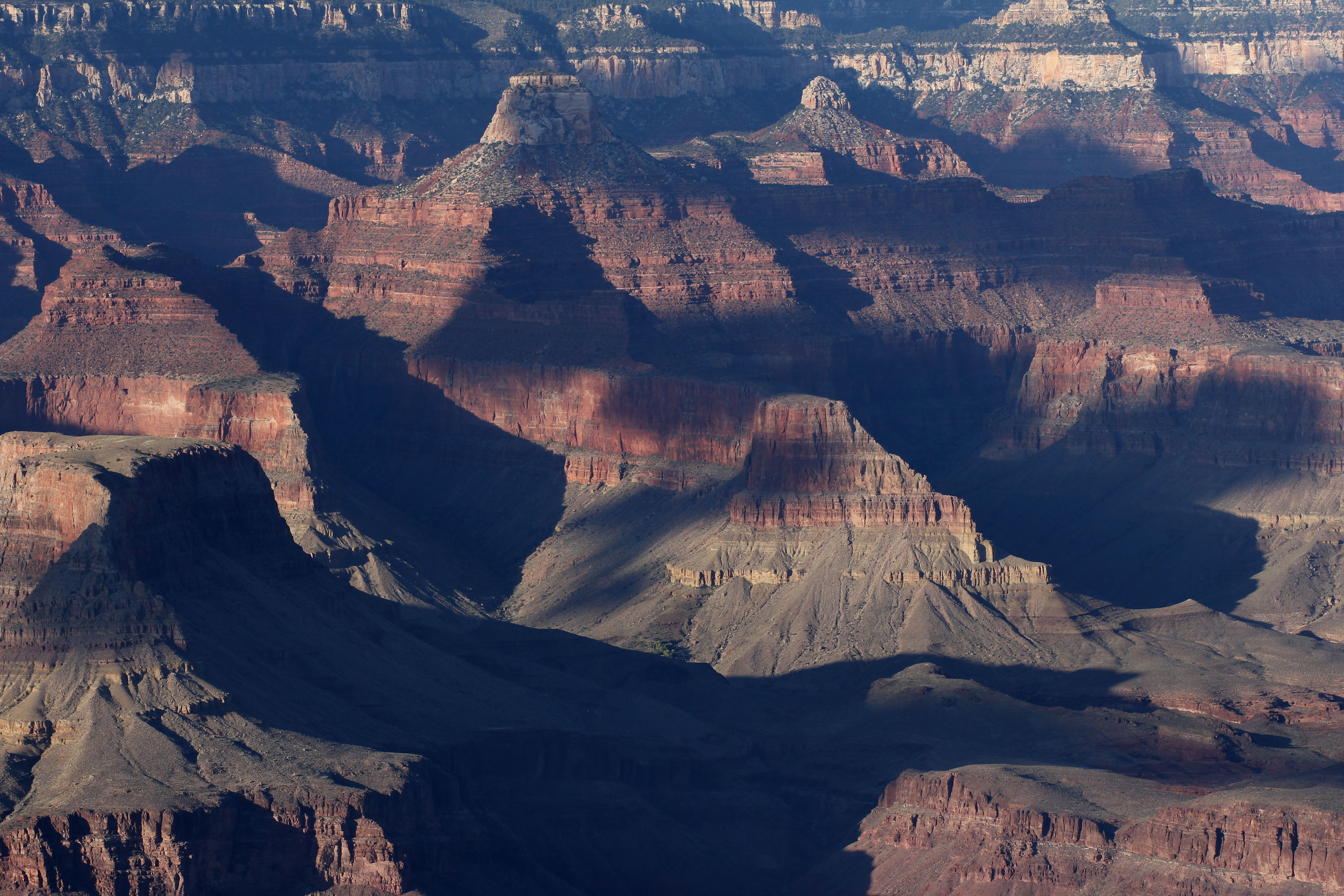
Grand Canyon
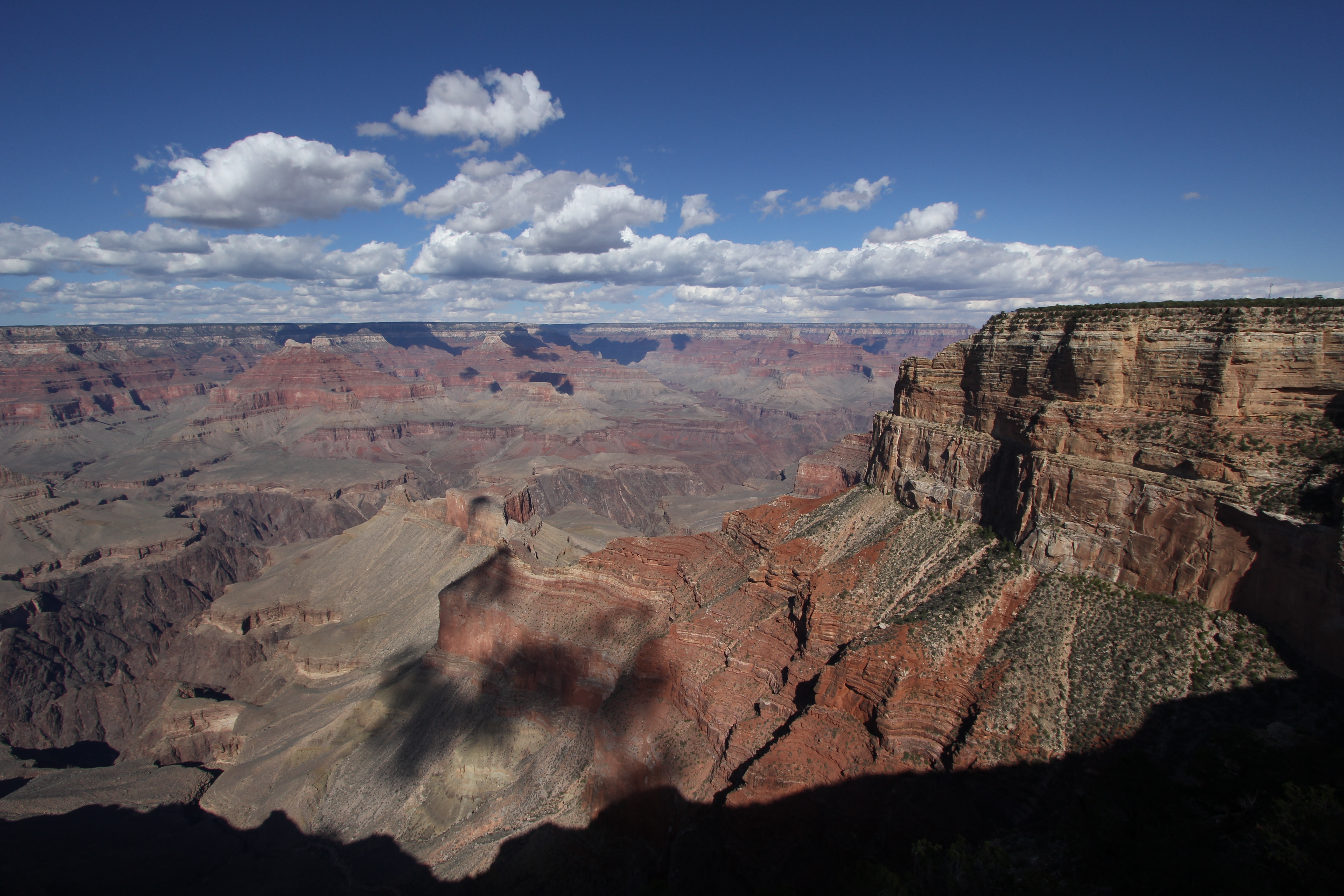
Grand Canyon
Topographic Map of Utopia, W 10th St, Coffeyville, KS, USA
Find elevation by address:

Places near Utopia, W 10th St, Coffeyville, KS, USA:
First United Methodist Church
Lanning's Downtown Grill
Kfc
Mcdonald's
Coffeyville Area Chamber Of Commerce
Superior Head Services
Coffeyville
Coffeyville Electric Light
Phelps's Hog Heaven
Midwest Pregnancy Care Center
Mission Funeral Services
Ross's Bbq Restaurant
Fourth Street Laundry
400 N Linden St
Hamilton Equipment Co
Riley's Truck Repair
Town Of South Coffeyville
Walmart Supercenter
South Coffeyville
Go Natural Llc
Recent Searches:
- Elevation of 24, Auburn Bay Crescent SE, Auburn Bay, Calgary, Alberta, T3M 0A6, Canada
- Elevation of Denver, 2314, Arapahoe Street, Five Points, Denver, Colorado, 80205, USA
- Elevation of Community of the Beatitudes, 2924, West 43rd Avenue, Sunnyside, Denver, Colorado, 80211, USA
- Elevation map of Litang County, Sichuan, China
- Elevation map of Madoi County, Qinghai, China
- Elevation of 3314, Ohio State Route 114, Payne, Paulding County, Ohio, 45880, USA
- Elevation of Sarahills Drive, Saratoga, Santa Clara County, California, 95070, USA
- Elevation of Town of Bombay, Franklin County, New York, USA
- Elevation of 9, Convent Lane, Center Moriches, Suffolk County, New York, 11934, USA
- Elevation of Saint Angelas Convent, 9, Convent Lane, Center Moriches, Suffolk County, New York, 11934, USA
- Elevation of 131st Street Southwest, Mukilteo, Snohomish County, Washington, 98275, USA
- Elevation of 304, Harrison Road, Naples, Cumberland County, Maine, 04055, USA
- Elevation of 2362, Timber Ridge Road, Harrisburg, Cabarrus County, North Carolina, 28075, USA
- Elevation of Ridge Road, Marshalltown, Marshall County, Iowa, 50158, USA
- Elevation of 2459, Misty Shadows Drive, Pigeon Forge, Sevier County, Tennessee, 37862, USA
- Elevation of 8043, Brightwater Way, Spring Hill, Williamson County, Tennessee, 37179, USA
- Elevation of Starkweather Road, San Luis, Costilla County, Colorado, 81152, USA
- Elevation of 5277, Woodside Drive, Baton Rouge, East Baton Rouge Parish, Louisiana, 70808, USA
- Elevation of 1139, Curtin Street, Shepherd Park Plaza, Houston, Harris County, Texas, 77018, USA
- Elevation of 136, Sellers Lane, Repton, Monroe County, Alabama, 36475, USA