Elevation of Coffeyville Area Chamber of Commerce, S Walnut St, Coffeyville, KS, USA
Location: United States > Kansas > Montgomery County > Coffeyville >
Longitude: -95.6154991
Latitude: 37.035691
Elevation: 223m / 732feet
Barometric Pressure: 0KPa
Related Photos:

HDR Condon Bank side view

Utah and Travel
Memorial Hospital
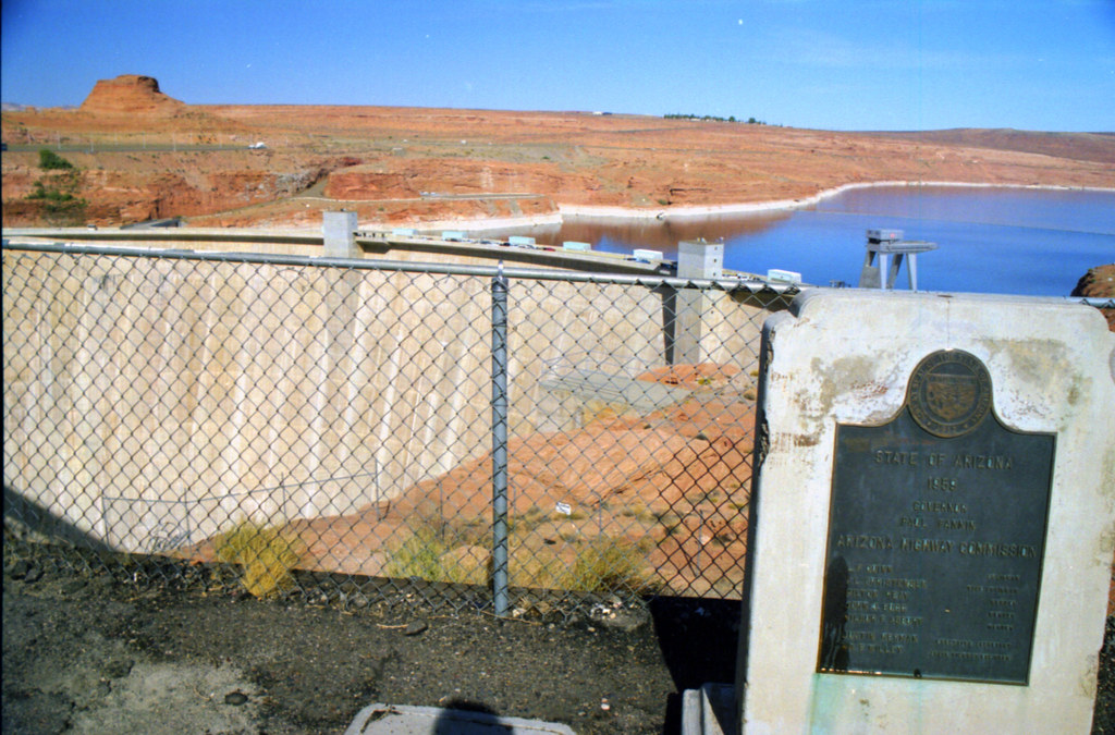
Utah and Travel
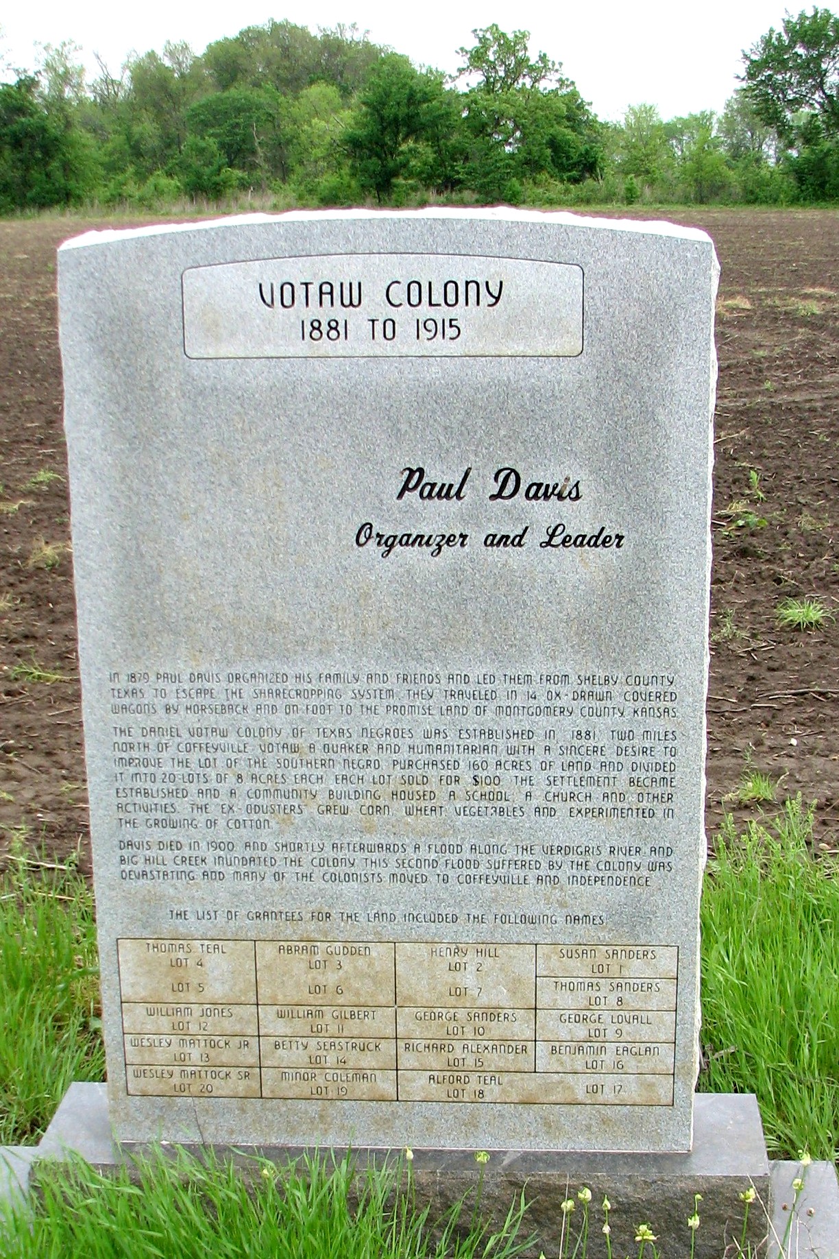
Votaw Colony

Utah and Travel

Pumpkin Creek

Valeda Kansas School

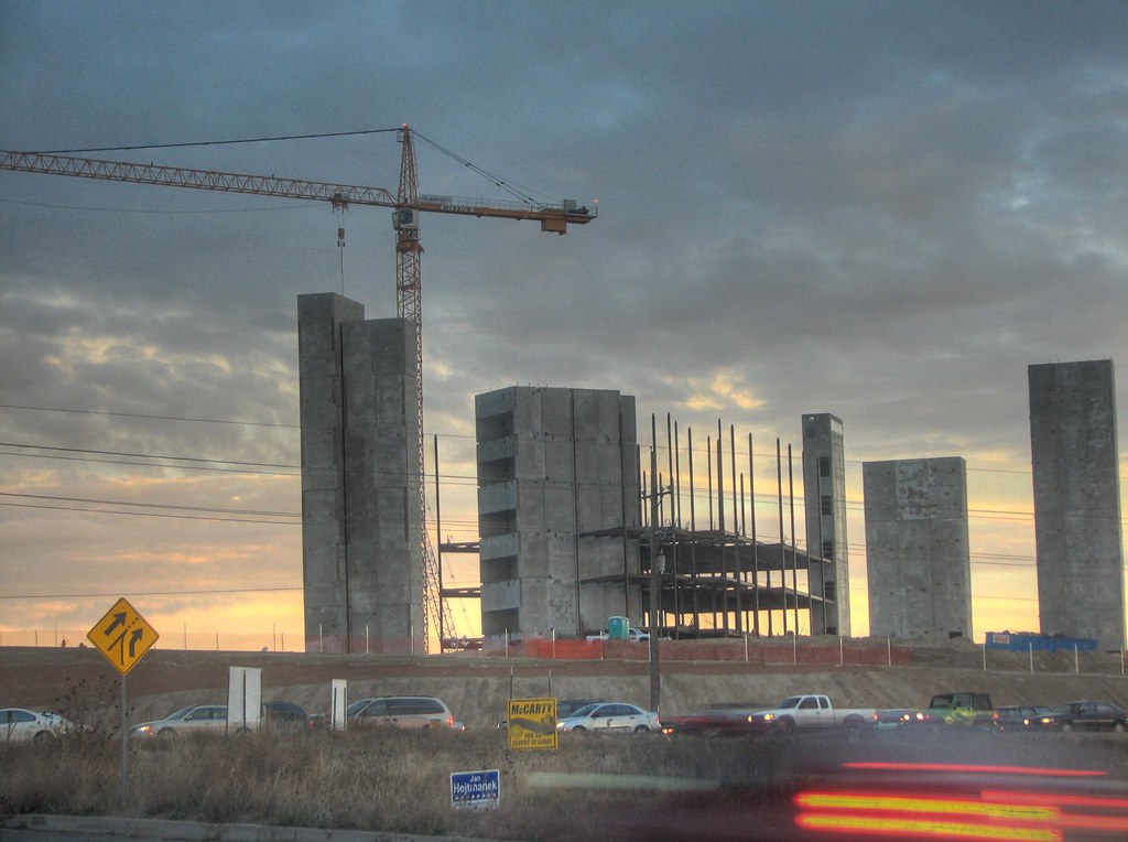
Coffeyville Kansas

Stateline Sunset

DSC_0040.JPG

horse family

Restview Cemetery

falling water in the woods

Grand Canyon

Grand Canyon
Topographic Map of Coffeyville Area Chamber of Commerce, S Walnut St, Coffeyville, KS, USA
Find elevation by address:

Places near Coffeyville Area Chamber of Commerce, S Walnut St, Coffeyville, KS, USA:
Lanning's Downtown Grill
Coffeyville Electric Light
Superior Head Services
Coffeyville
Utopia
Ross's Bbq Restaurant
Midwest Pregnancy Care Center
Mission Funeral Services
First United Methodist Church
Kfc
Mcdonald's
Fourth Street Laundry
Phelps's Hog Heaven
400 N Linden St
Hamilton Equipment Co
Riley's Truck Repair
Walmart Supercenter
Town Of South Coffeyville
South Coffeyville
Go Natural Llc
Recent Searches:
- Elevation of 4655, Krischke Road, Schulenburg, Fayette County, Texas, 78956, USA
- Elevation of Carnegie Avenue, Downtown Cleveland, Cleveland, Cuyahoga County, Ohio, 44115, USA
- Elevation of Walhonding, Coshocton County, Ohio, USA
- Elevation of Clifton Down, Clifton, Bristol, City of Bristol, England, BS8 3HU, United Kingdom
- Elevation map of Auvergne-Rhône-Alpes, France
- Elevation map of Upper Savoy, Auvergne-Rhône-Alpes, France
- Elevation of Chamonix-Mont-Blanc, Upper Savoy, Auvergne-Rhône-Alpes, France
- Elevation of 908, Northwood Drive, Bridge Field, Chesapeake, Virginia, 23322, USA
- Elevation map of Nagano Prefecture, Japan
- Elevation of 587, Bascule Drive, Oakdale, Stanislaus County, California, 95361, USA
- Elevation of Stadion Wankdorf, Sempachstrasse, Breitfeld, Bern, Bern-Mittelland administrative district, Bern, 3014, Switzerland
- Elevation of Z024, 76, Emil-von-Behring-Straße, Marbach, Marburg, Landkreis Marburg-Biedenkopf, Hesse, 35041, Germany
- Elevation of Gaskill Road, Hunts Cross, Liverpool, England, L24 9PH, United Kingdom
- Elevation of Speke, Liverpool, England, L24 9HD, United Kingdom
- Elevation of Seqirus, 475, Green Oaks Parkway, Holly Springs, Wake County, North Carolina, 27540, USA
- Elevation of Pasing, Munich, Bavaria, 81241, Germany
- Elevation of 24, Auburn Bay Crescent SE, Auburn Bay, Calgary, Alberta, T3M 0A6, Canada
- Elevation of Denver, 2314, Arapahoe Street, Five Points, Denver, Colorado, 80205, USA
- Elevation of Community of the Beatitudes, 2924, West 43rd Avenue, Sunnyside, Denver, Colorado, 80211, USA
- Elevation map of Litang County, Sichuan, China