Elevation of Coffeyville, KS, USA
Location: United States > Kansas > Montgomery County >
Longitude: -95.6163665
Latitude: 37.0373005
Elevation: 225m / 738feet
Barometric Pressure: 0KPa
Related Photos:
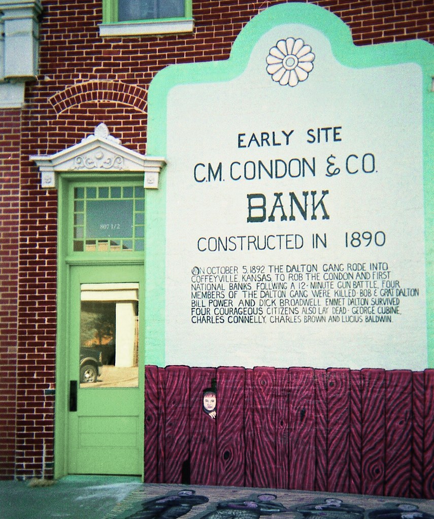
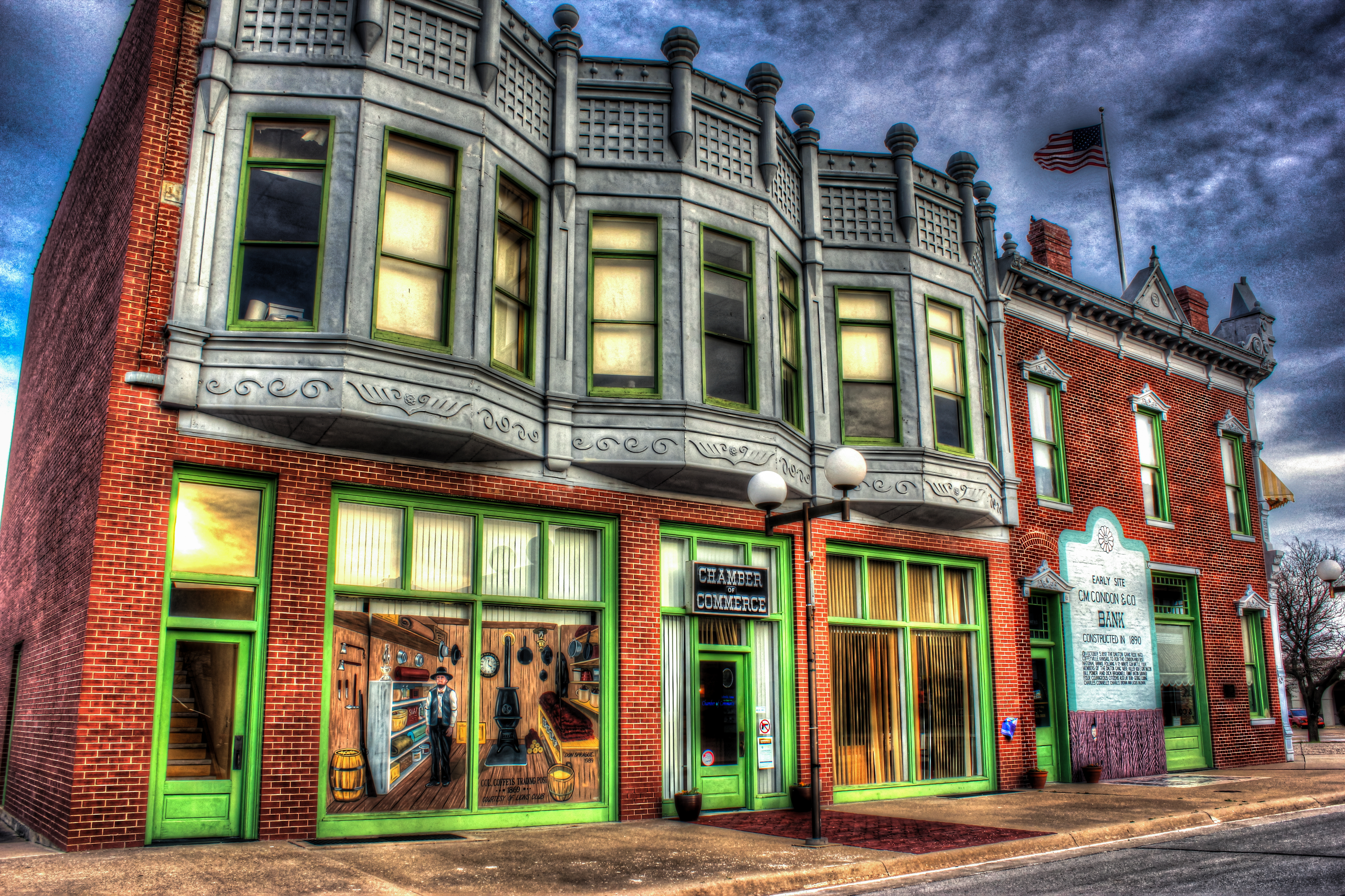
Condon Bank, Coffeyville
Utah and Travel

Utah and Travel
Utah and Travel
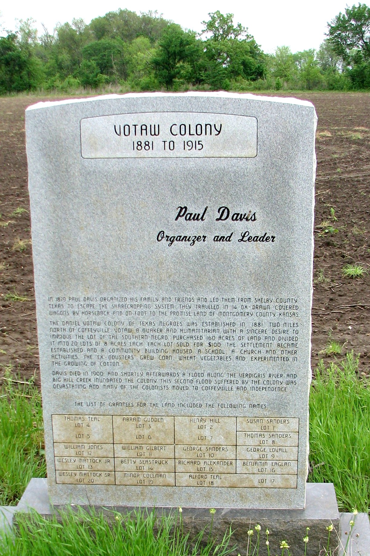
Votaw Colony
HDR Condon Bank side view
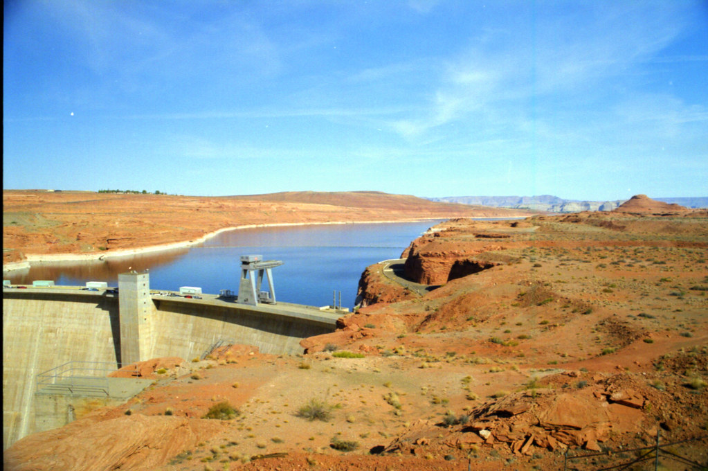
Utah and Travel
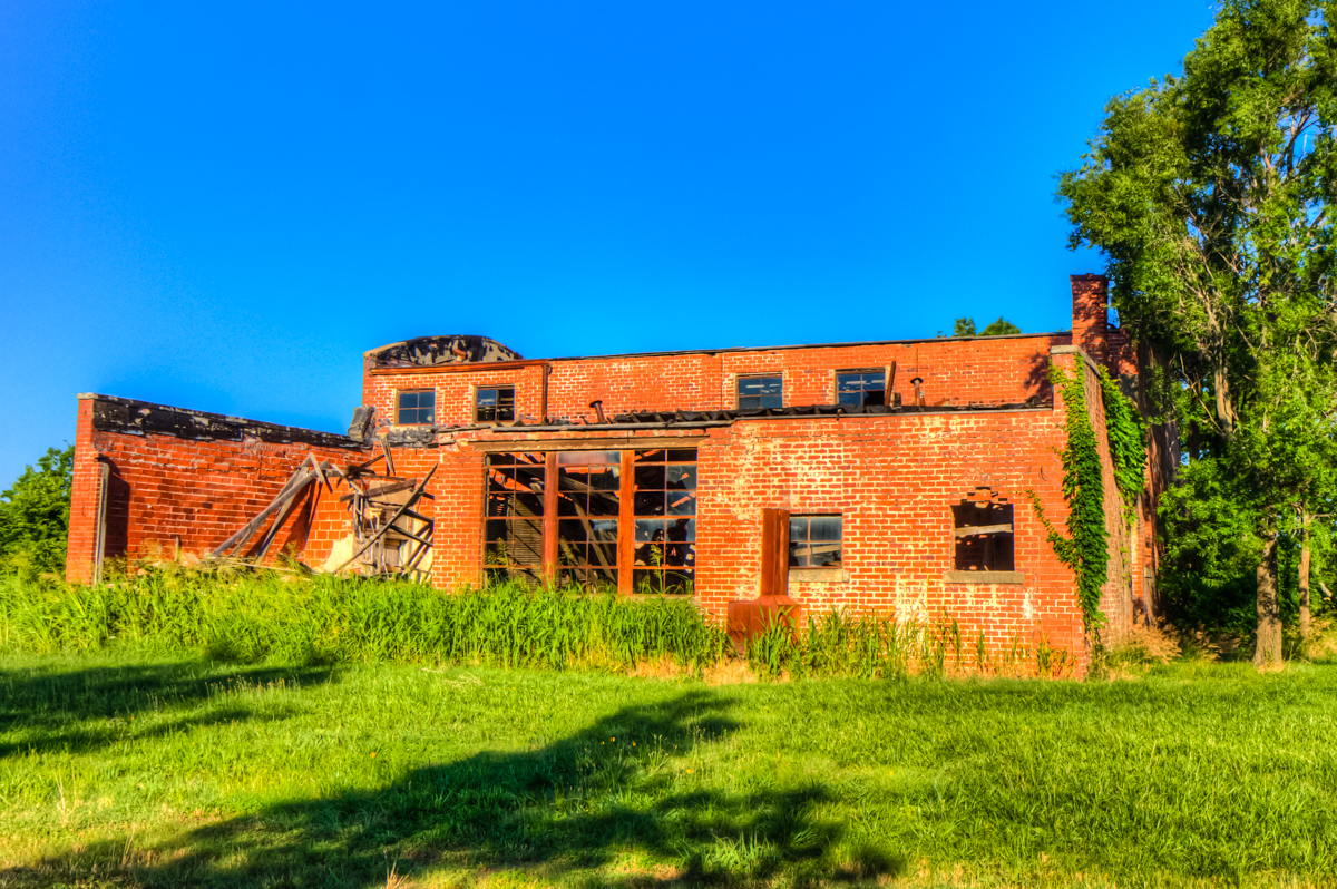
Valeda Kansas School
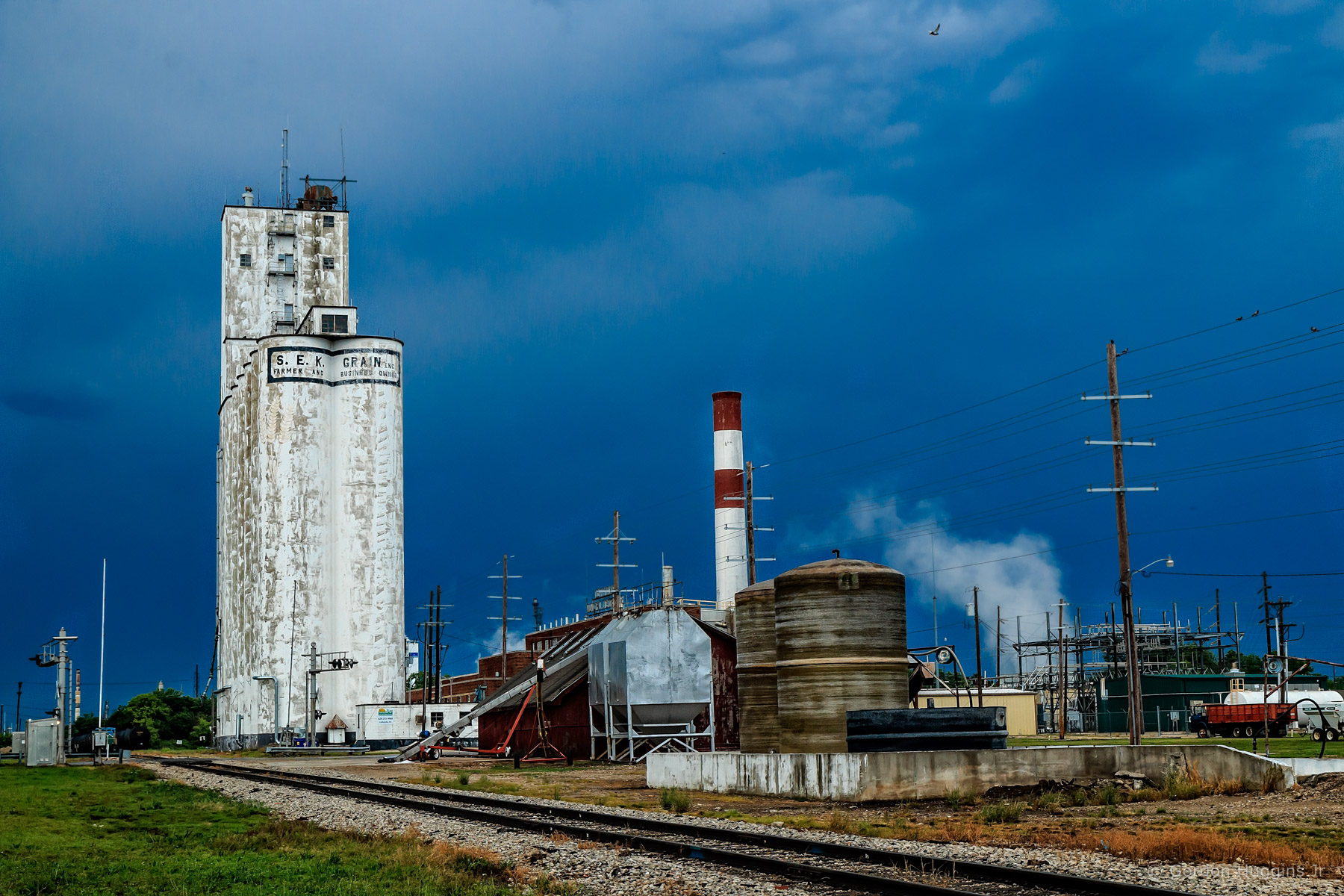
Coffeyville Kansas
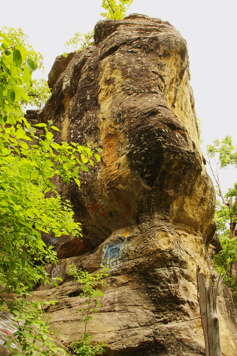
unusual rock formation for southeast Kansas

Restview Cemetery
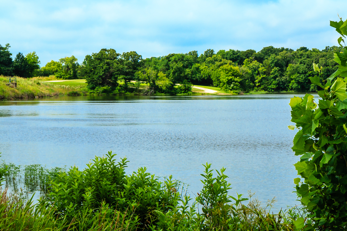
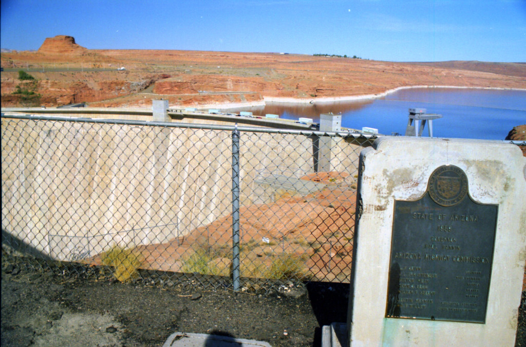
Montgomery State Lake
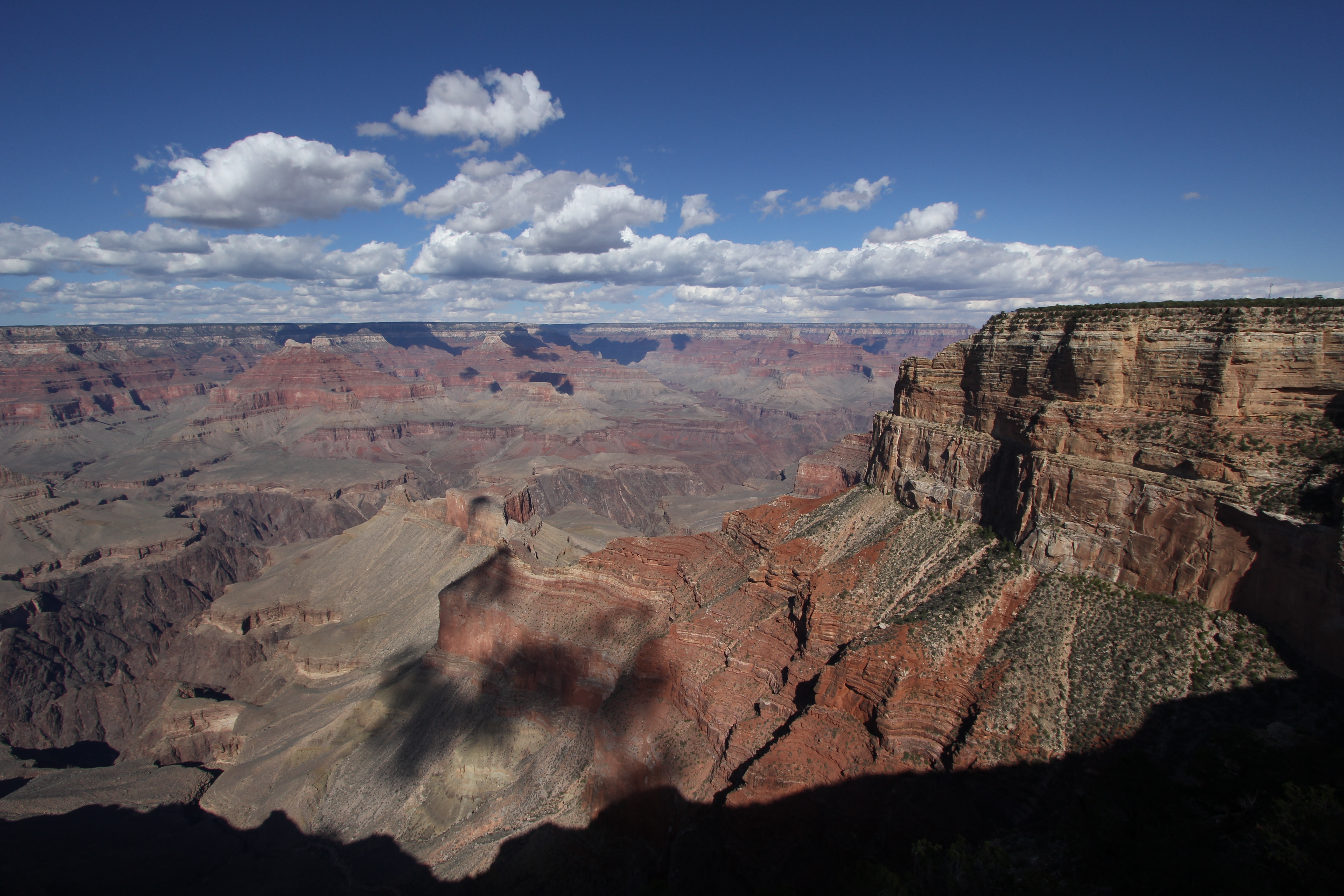
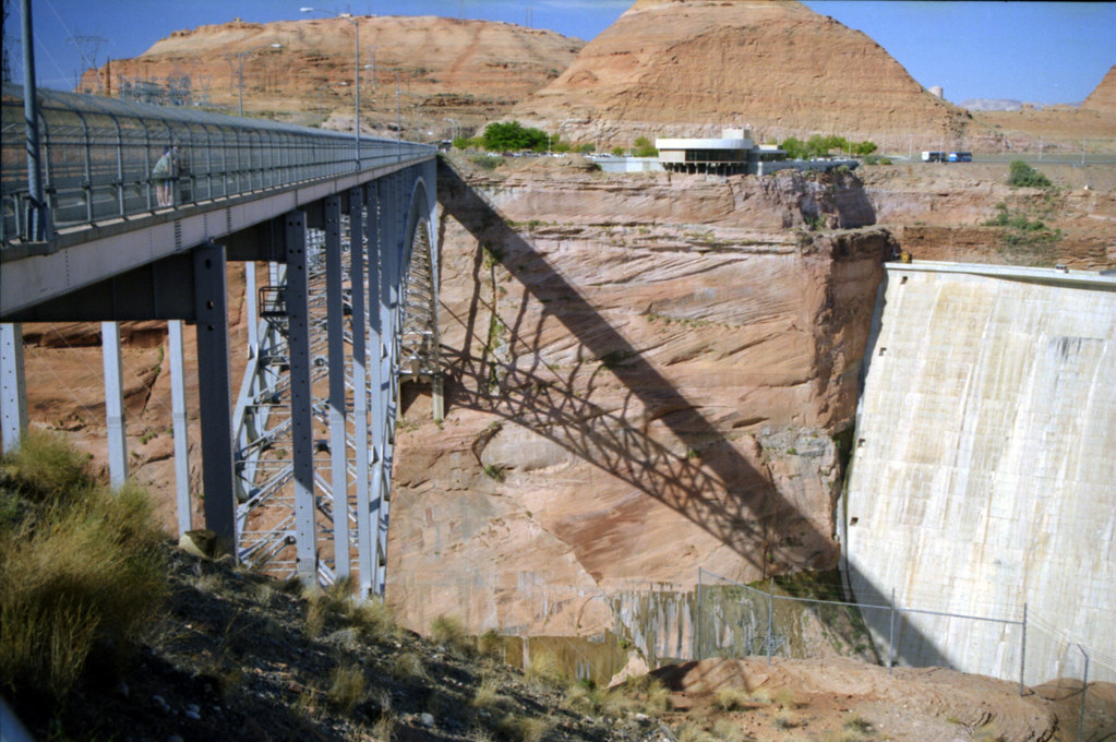
Grand Canyon

Montgomery State Lake
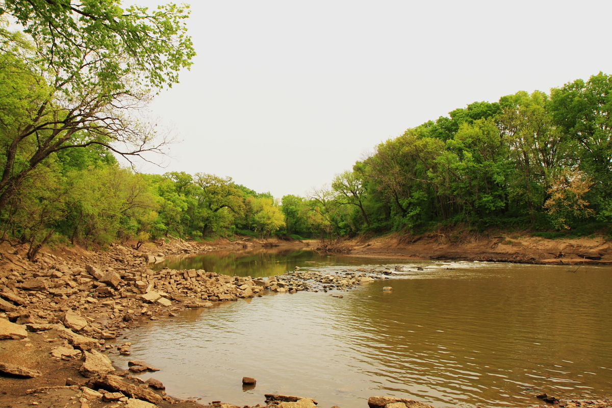
Verdigris River
Topographic Map of Coffeyville, KS, USA
Find elevation by address:

Places in Coffeyville, KS, USA:
First United Methodist Church
Midwest Pregnancy Care Center
Mcdonald's
Restlawn Memorial Park
Fairview Cemetery
Superior Head Services
Kfc
Taylor Crane & Rigging
Taco Bell
Sonic Drive-in
Mission Funeral Services
Riley's Truck Repair
Trinity United Methodist Church
Lanning's Downtown Grill
Asbury Village
Utopia
Leclere Park Basketball Courts
Ross's Bbq Restaurant
Fourth Street Laundry
Los Primos 2
Coffeyville Electric Light
Field Kindley Memorial High School
Coffeyville Area Chamber Of Commerce
Equity Bank
Walmart Supercenter
Pizza Hut
3 Bedroom House
Brown's Shoe Fit Co
Aspen Contracting, Inc.
U-haul Neighborhood Dealer
Hamilton Equipment Co
Green Acres Garden Center & Florist
Buckeye Mobile Estates & Rv Park
Phelps's Hog Heaven
V & S Family Center
400 N Linden St
Places near Coffeyville, KS, USA:
Superior Head Services
Coffeyville Electric Light
Coffeyville Area Chamber Of Commerce
Lanning's Downtown Grill
Midwest Pregnancy Care Center
Mission Funeral Services
Utopia
First United Methodist Church
Ross's Bbq Restaurant
Mcdonald's
Kfc
Fourth Street Laundry
Phelps's Hog Heaven
400 N Linden St
Hamilton Equipment Co
Riley's Truck Repair
Walmart Supercenter
Town Of South Coffeyville
South Coffeyville
Go Natural Llc
Recent Searches:
- Elevation map of Greenland, Greenland
- Elevation of Sullivan Hill, New York, New York, 10002, USA
- Elevation of Morehead Road, Withrow Downs, Charlotte, Mecklenburg County, North Carolina, 28262, USA
- Elevation of 2800, Morehead Road, Withrow Downs, Charlotte, Mecklenburg County, North Carolina, 28262, USA
- Elevation of Yangbi Yi Autonomous County, Yunnan, China
- Elevation of Pingpo, Yangbi Yi Autonomous County, Yunnan, China
- Elevation of Mount Malong, Pingpo, Yangbi Yi Autonomous County, Yunnan, China
- Elevation map of Yongping County, Yunnan, China
- Elevation of North 8th Street, Palatka, Putnam County, Florida, 32177, USA
- Elevation of 107, Big Apple Road, East Palatka, Putnam County, Florida, 32131, USA
- Elevation of Jiezi, Chongzhou City, Sichuan, China
- Elevation of Chongzhou City, Sichuan, China
- Elevation of Huaiyuan, Chongzhou City, Sichuan, China
- Elevation of Qingxia, Chengdu, Sichuan, China
- Elevation of Corso Fratelli Cairoli, 35, Macerata MC, Italy
- Elevation of Tallevast Rd, Sarasota, FL, USA
- Elevation of 4th St E, Sonoma, CA, USA
- Elevation of Black Hollow Rd, Pennsdale, PA, USA
- Elevation of Oakland Ave, Williamsport, PA, USA
- Elevation of Pedrógão Grande, Portugal