Elevation of US-70, Fort Thomas, AZ, USA
Location: United States > Arizona > Graham County > Fort Thomas >
Longitude: -109.95143
Latitude: 32.999893
Elevation: 842m / 2762feet
Barometric Pressure: 92KPa
Elevation Map:
Satellite Map:
Related Photos:

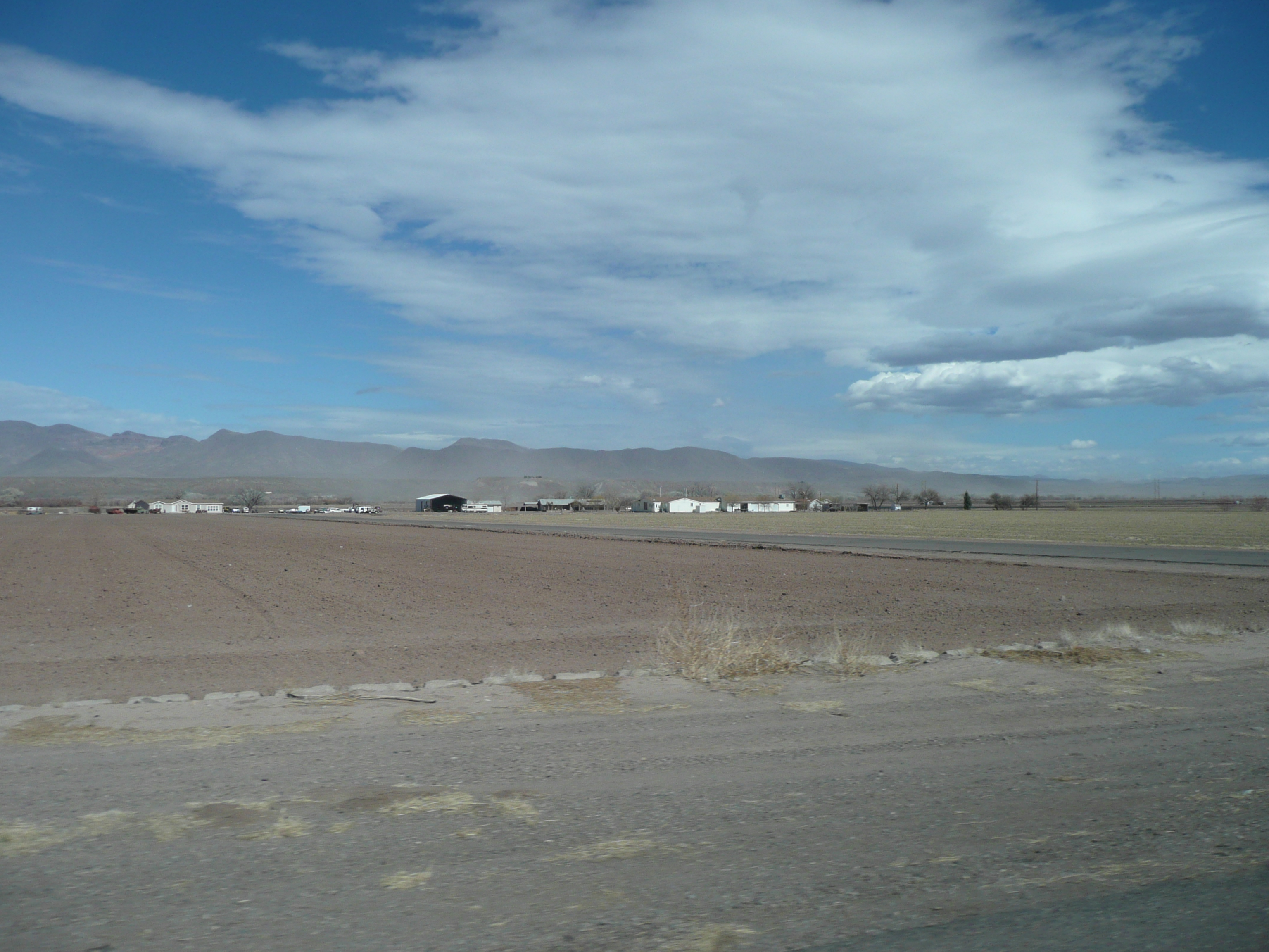
Road To Eden
Safford Grids and Mount Graham

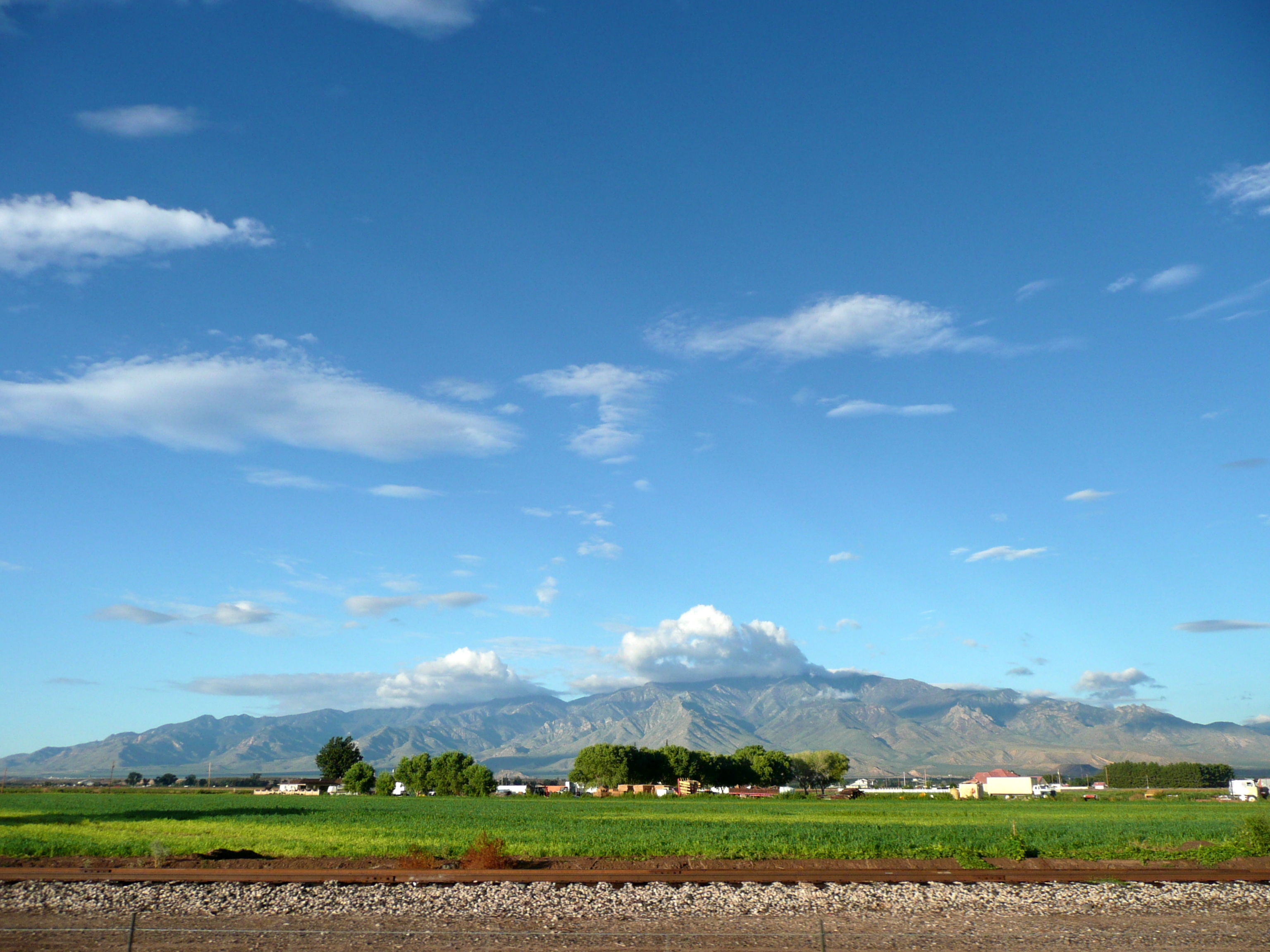
Agricultural grid
Safford Grids and Bryce Mountain
Day Mine Road – Fort Thomas, AZ
Day Mine Road – Fort Thomas, AZ
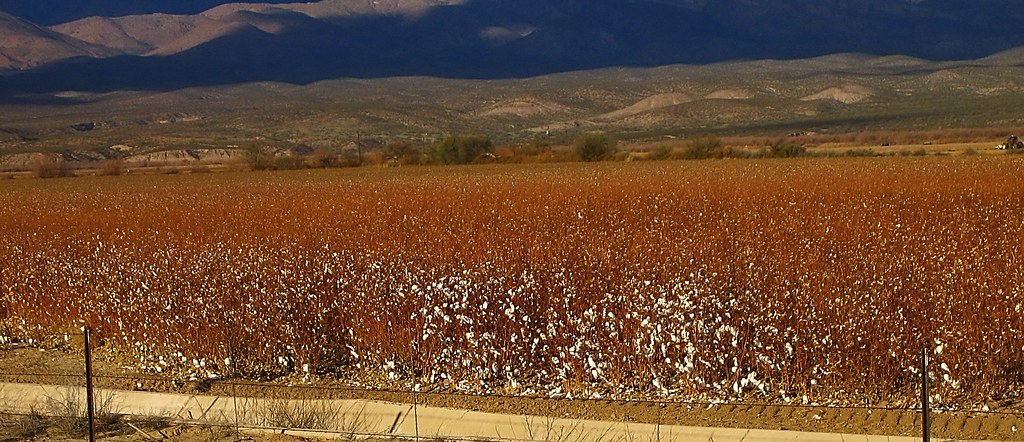
Pima cotton
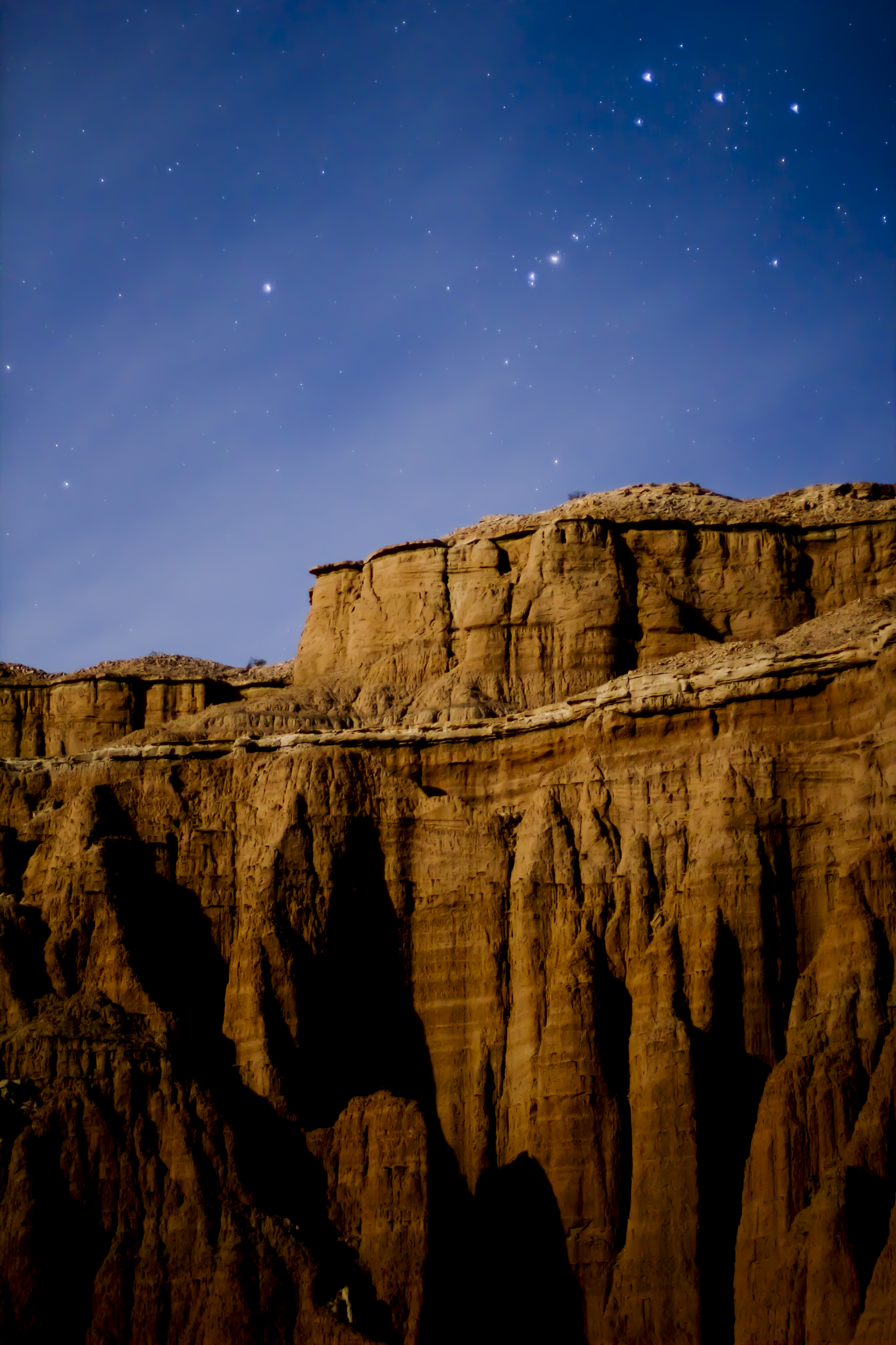
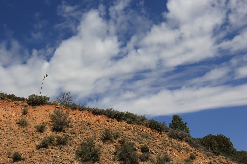
Red Knolls
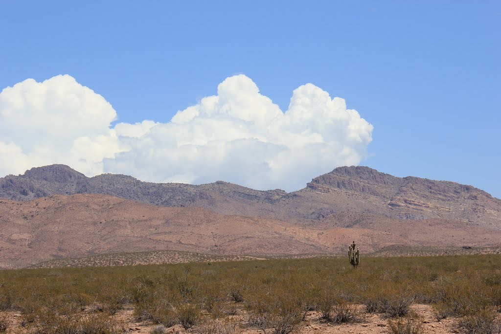
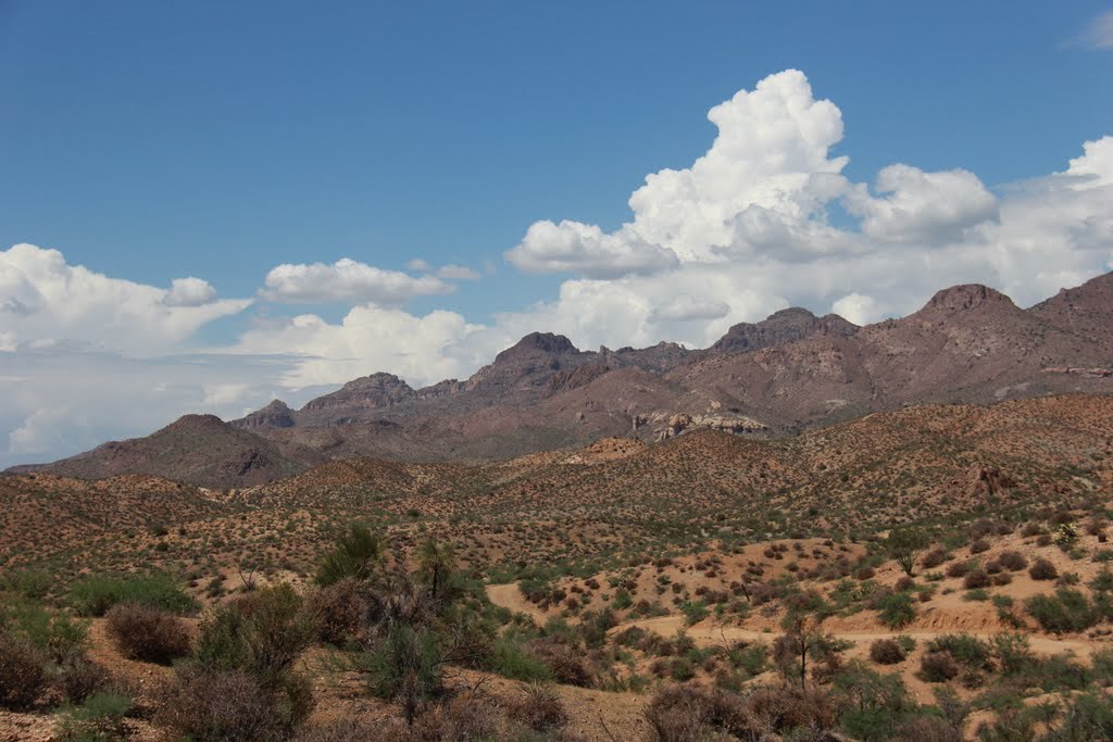
Mt. Graham

Gila River
Safford, AZ
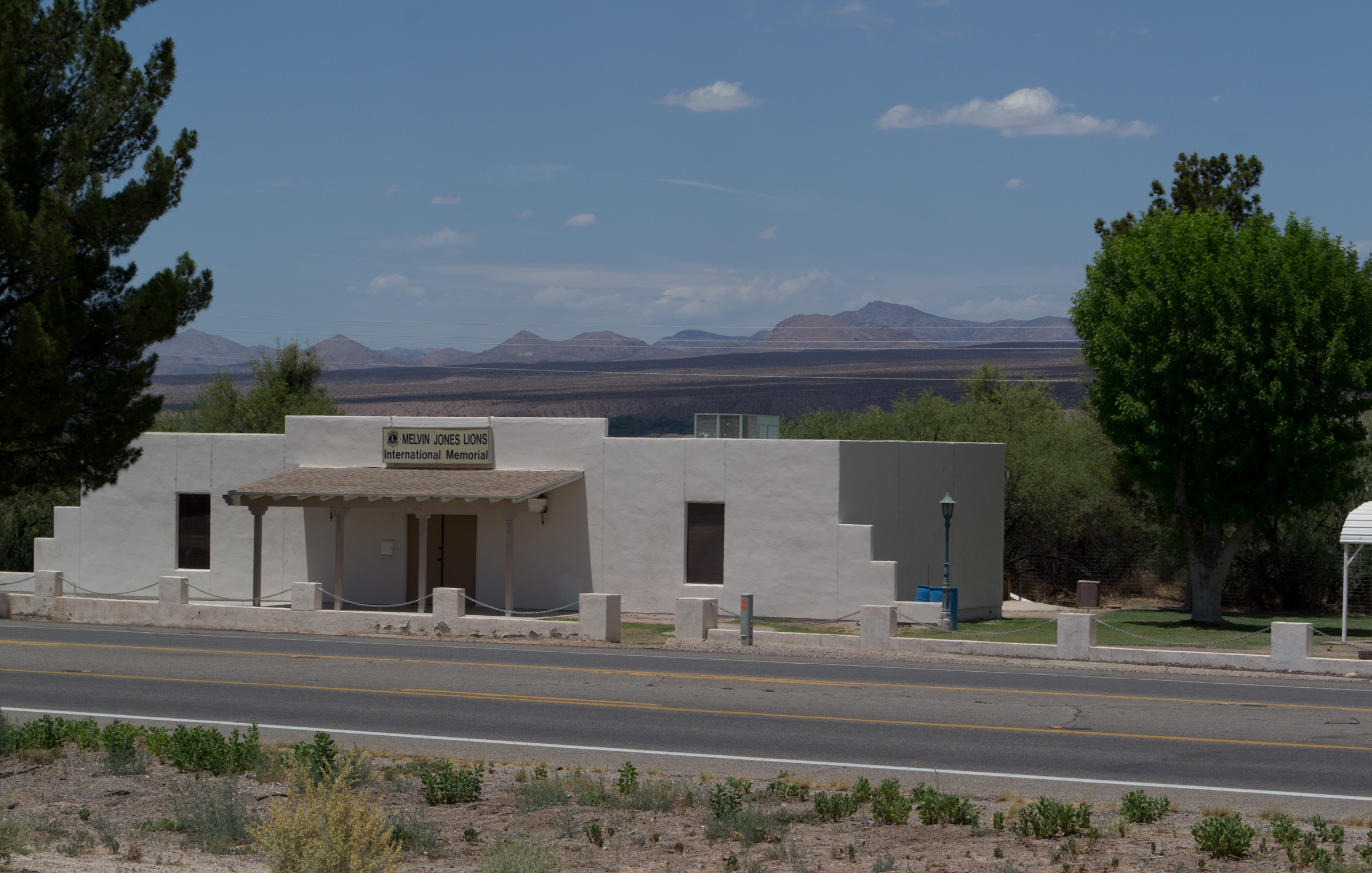
Ft Thomas, AZ Lions Club memorial (1978)
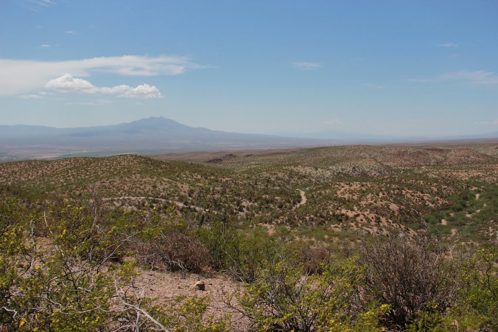
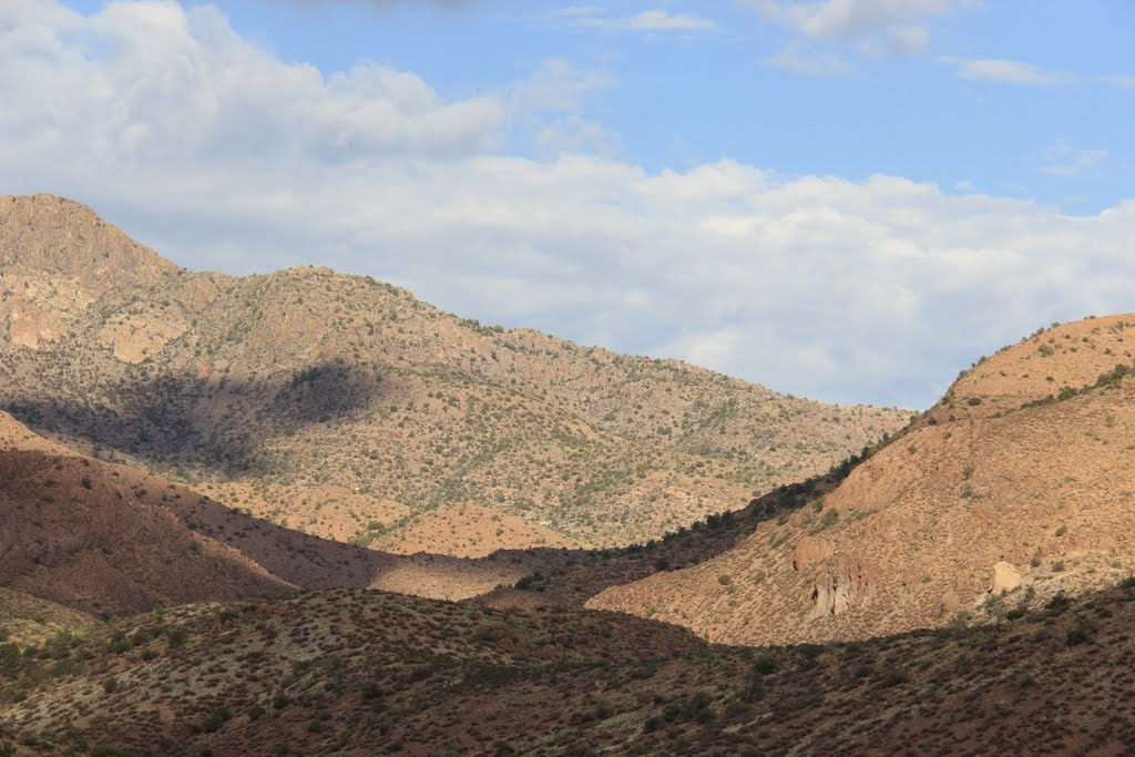
El Capitan Pass – Gila County, AZ
Day Mine Road – Fort Thomas, AZ
Day Mine Road – Fort Thomas, AZ
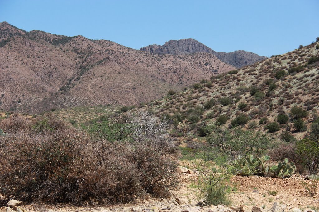
Day Mine Road – Fort Thomas, AZ
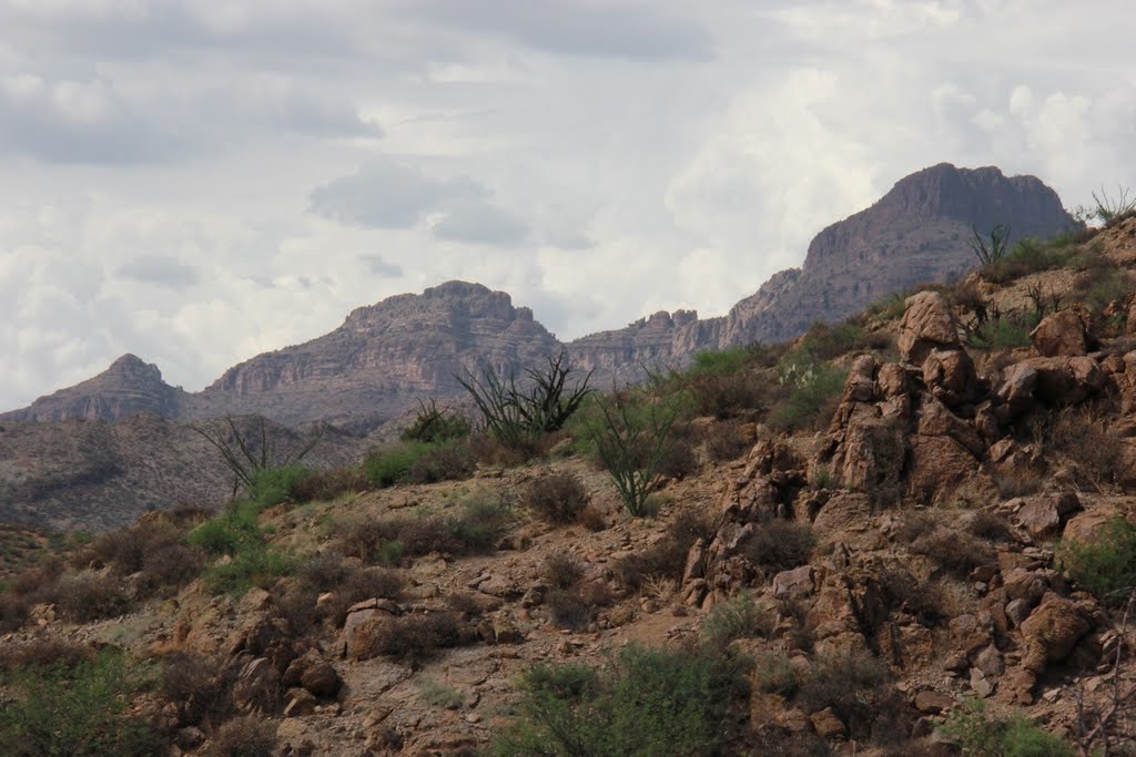
Day Mine Road – Fort Thomas, AZ
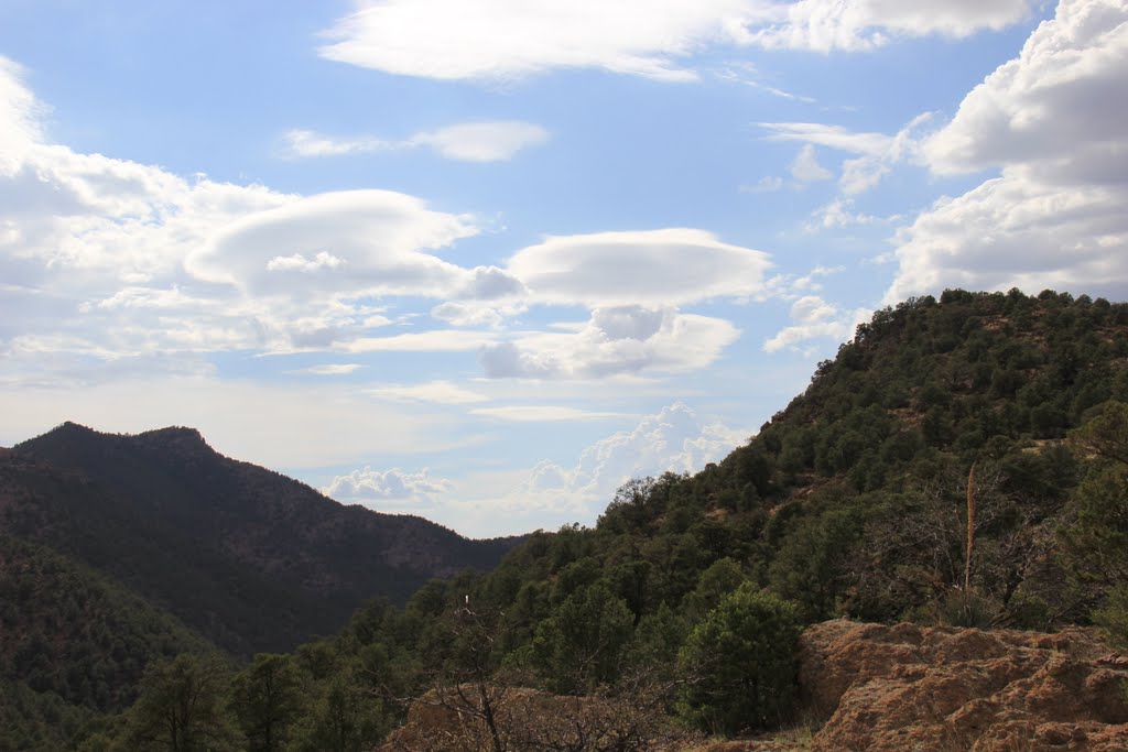
Day Mine Road – Fort Thomas, AZ
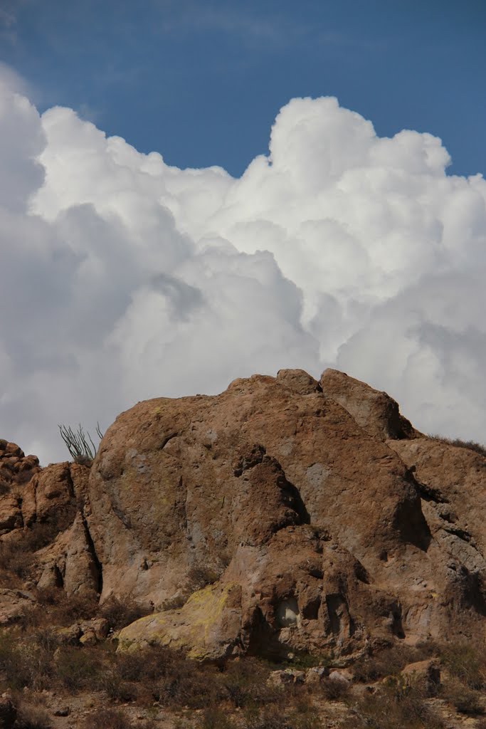
Day Mine Road – Fort Thomas, AZ
Day Mine Road – Fort Thomas, AZ
Day Mine Road – Fort Thomas, AZ
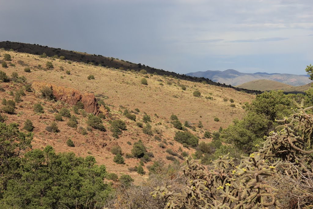
Day Mine Road – Fort Thomas, AZ
Topographic Map of US-70, Fort Thomas, AZ, USA
Find elevation by address:

Places near US-70, Fort Thomas, AZ, USA:
16474 Barteau Ln
Fort Thomas
US-70, Pima, AZ, USA
7920 Bryce-eden Rd
Eden
Bryce-Eden Rd, Pima, AZ, USA
7920 Eden Springs Rd
Coons Ln, Pima, AZ, USA
Bryce
Pima
10806 Cottonwood Wash Rd
10729 Cottonwood Wash Rd
10729 Cottonwood Wash Rd
7867 W Grandmas Dr
353 Cluff Ranch Rd
Watson Ln, Safford, AZ, USA
2247 Streaks Canyon Rd
Graham County
Gila Valley Arizona Temple
Thatcher
Recent Searches:
- Elevation of Corso Fratelli Cairoli, 35, Macerata MC, Italy
- Elevation of Tallevast Rd, Sarasota, FL, USA
- Elevation of 4th St E, Sonoma, CA, USA
- Elevation of Black Hollow Rd, Pennsdale, PA, USA
- Elevation of Oakland Ave, Williamsport, PA, USA
- Elevation of Pedrógão Grande, Portugal
- Elevation of Klee Dr, Martinsburg, WV, USA
- Elevation of Via Roma, Pieranica CR, Italy
- Elevation of Tavkvetili Mountain, Georgia
- Elevation of Hartfords Bluff Cir, Mt Pleasant, SC, USA