Elevation of Gila Valley Arizona Temple, US-70, Thatcher, AZ, USA
Location: United States > Arizona > Graham County >
Longitude: -109.78995
Latitude: 32.862917
Elevation: 882m / 2894feet
Barometric Pressure: 91KPa
Elevation Map:
Satellite Map:
Related Photos:

View from a Safford Dumpster

My Seventies Bird

Road To Eden

Red Ruby Reflection

i like quality, not quantity

moonlight picnic
DSCF0385.JPG
Roper Lake State Park With Clouds
Mt. Graham Winter - Panorama
The Globe Local
Frye Creek
McInery Tunnel

Thunderhead over Mount Graham

Mt Graham

Gila River

Phaon Crescent (Phyciodes phaon)
Roper Lake SP
Ash Creek Pool
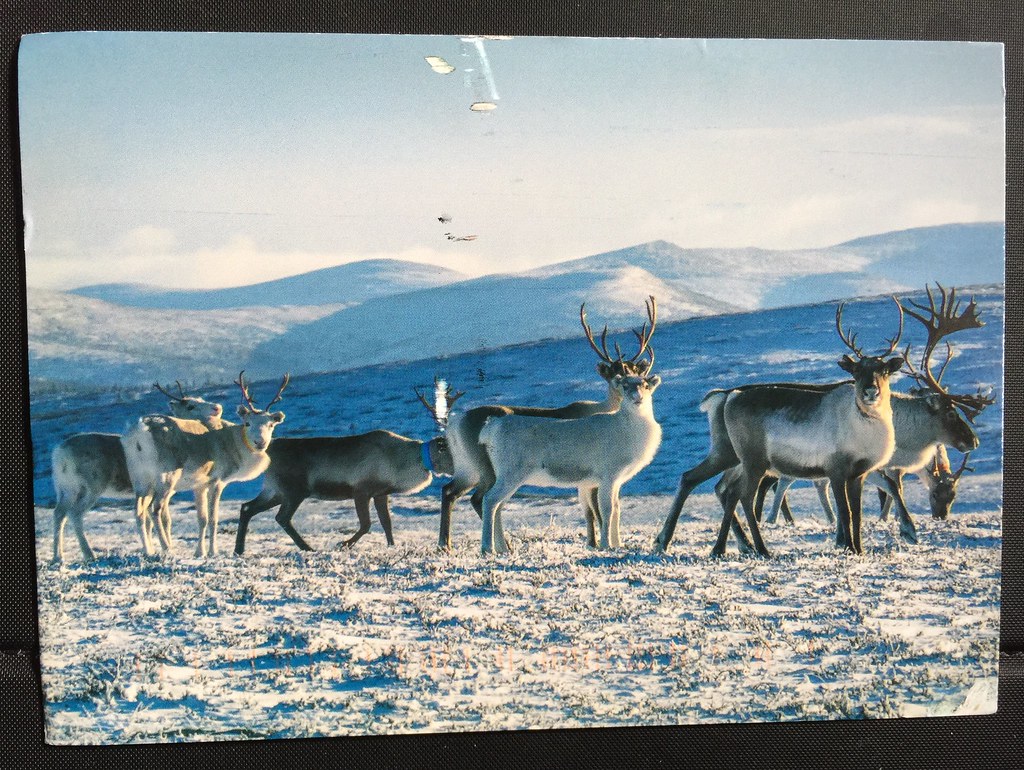
Reindeer in Lapland, Finland
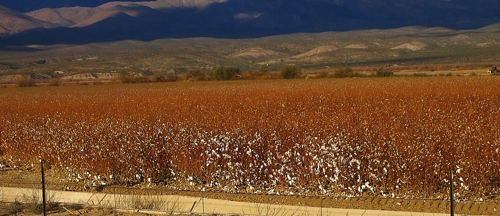
Pima cotton

yellow truck hdr
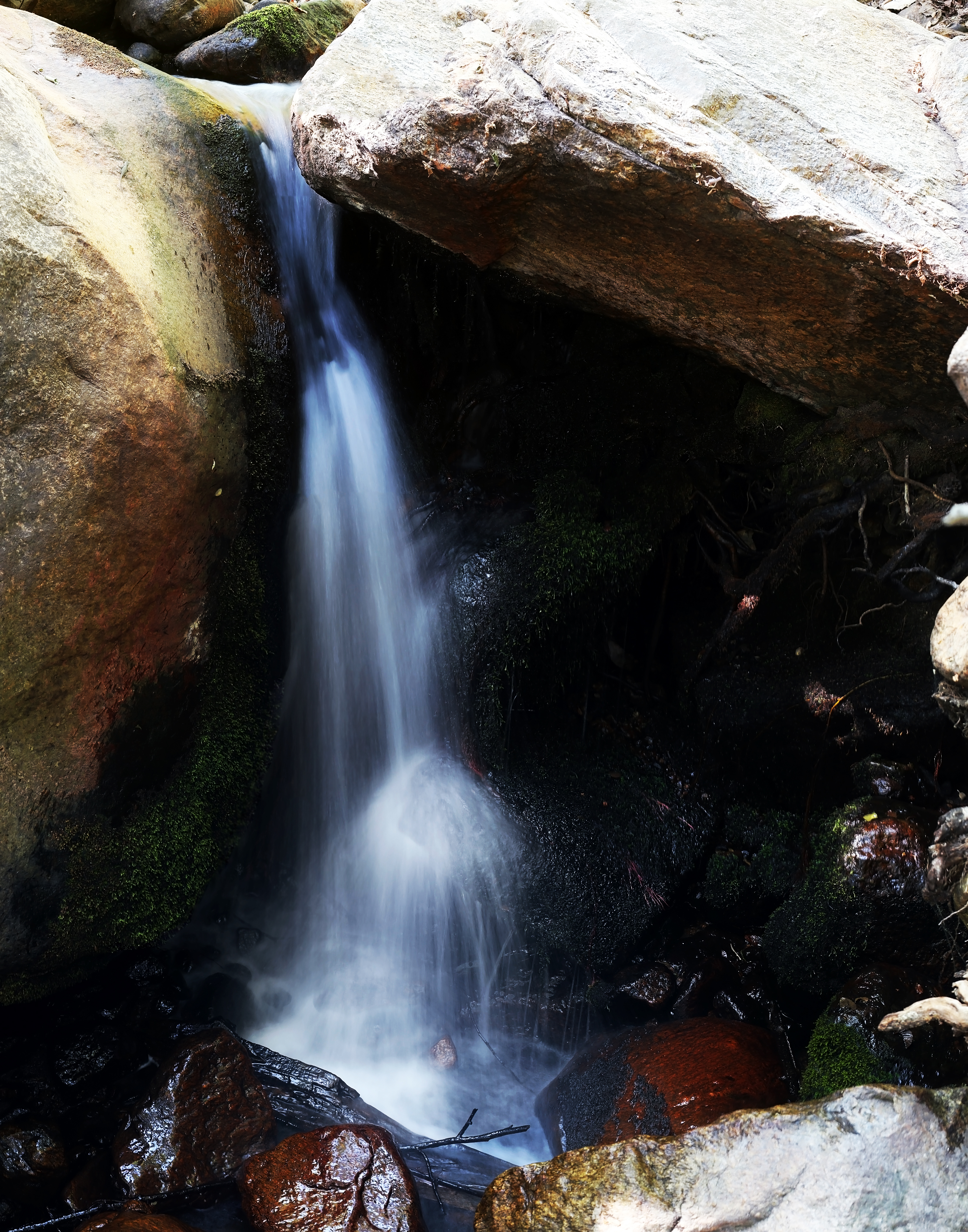
Ash Creek Waterfall
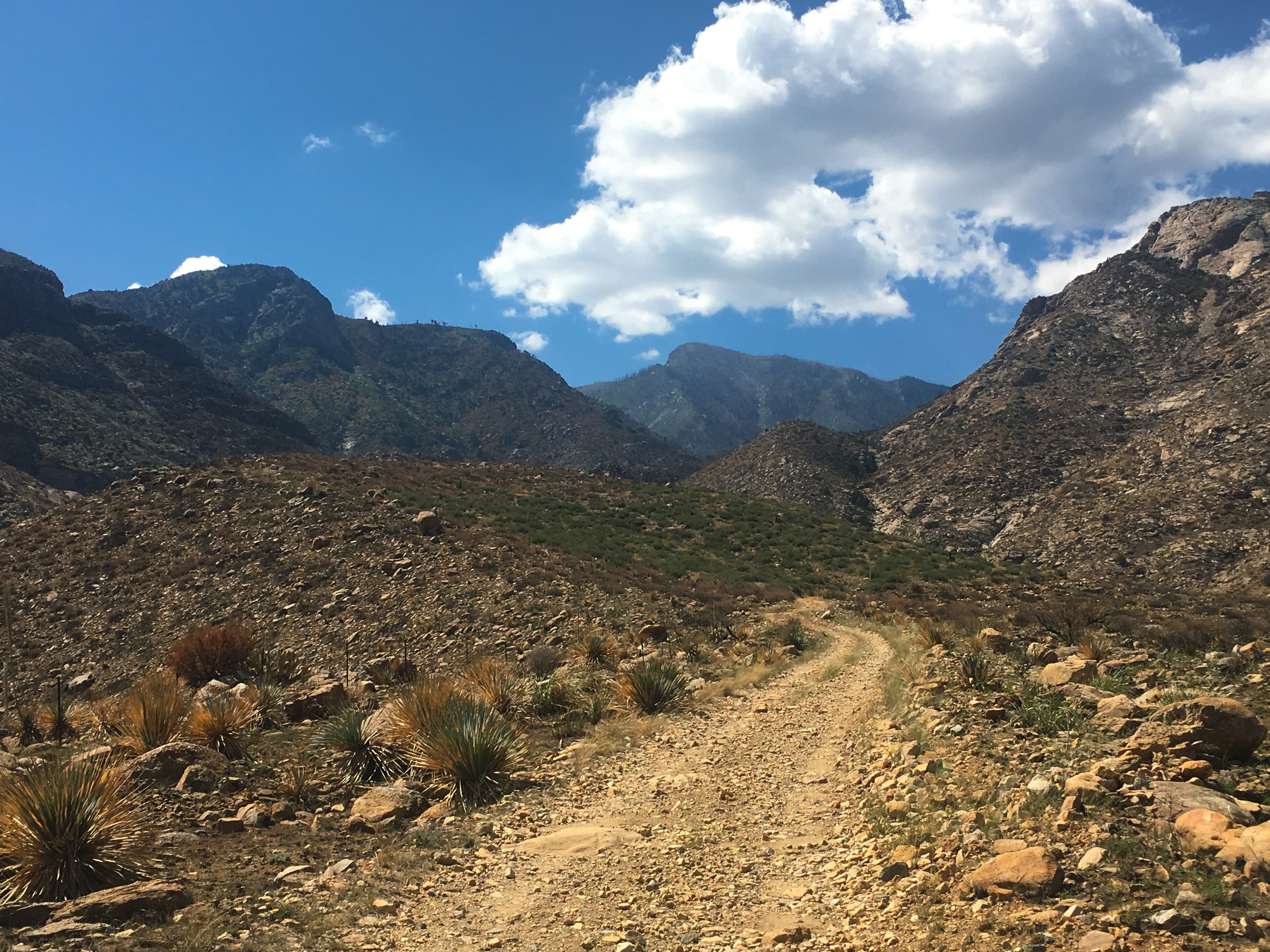
Frye Canyon Road heading into the Pinaleno Mountains
Ancient peaks from an enormous geologic event.
It was quite the experience coming into contact with 4 coyoytes feeding, and only rocks and a leatherman to even the odds, but one must always remember - your a potential meal in their house - Not Yours.

Agricultural grid
Safford Grids and Bryce Mountain
IMAG1241~2
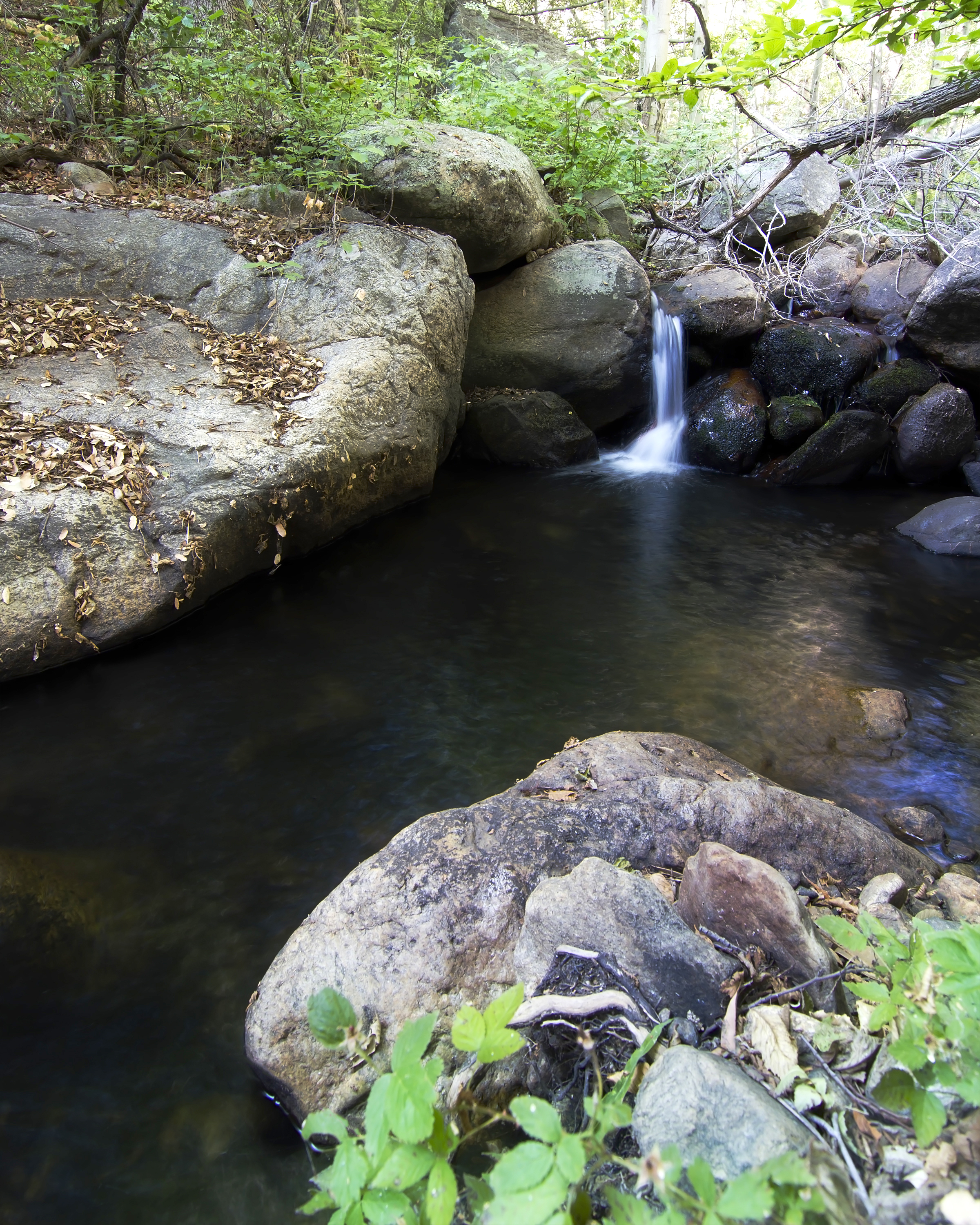
Ash Creek Pool #2
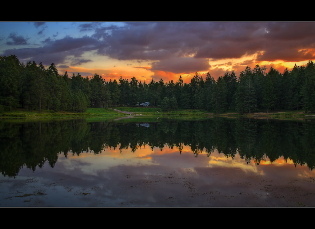
Sunset on Mt. Graham
Topographic Map of Gila Valley Arizona Temple, US-70, Thatcher, AZ, USA
Find elevation by address:

Places near Gila Valley Arizona Temple, US-70, Thatcher, AZ, USA:
Thatcher
248 N Stadium Ave
7867 W Grandmas Dr
353 Cluff Ranch Rd
1214 Us-70
2247 Streaks Canyon Rd
Safford
1520 S 1st Ave
10729 Cottonwood Wash Rd
10729 Cottonwood Wash Rd
10806 Cottonwood Wash Rd
Ann's Ranch Road
Ann's Ranch Road
Ann's Ranch Road
Ann's Ranch Road
US-, Safford, AZ, USA
US-, Safford, AZ, USA
1558 Harmony Rd
Swift Trail Junction
Mount Graham
Recent Searches:
- Elevation of Corso Fratelli Cairoli, 35, Macerata MC, Italy
- Elevation of Tallevast Rd, Sarasota, FL, USA
- Elevation of 4th St E, Sonoma, CA, USA
- Elevation of Black Hollow Rd, Pennsdale, PA, USA
- Elevation of Oakland Ave, Williamsport, PA, USA
- Elevation of Pedrógão Grande, Portugal
- Elevation of Klee Dr, Martinsburg, WV, USA
- Elevation of Via Roma, Pieranica CR, Italy
- Elevation of Tavkvetili Mountain, Georgia
- Elevation of Hartfords Bluff Cir, Mt Pleasant, SC, USA