Elevation of Coons Ln, Pima, AZ, USA
Location: United States > Arizona > Graham County > Pima >
Longitude: -109.85758
Latitude: 32.916859
Elevation: 854m / 2802feet
Barometric Pressure: 91KPa
Elevation Map:
Satellite Map:
Related Photos:

Guitar Playing
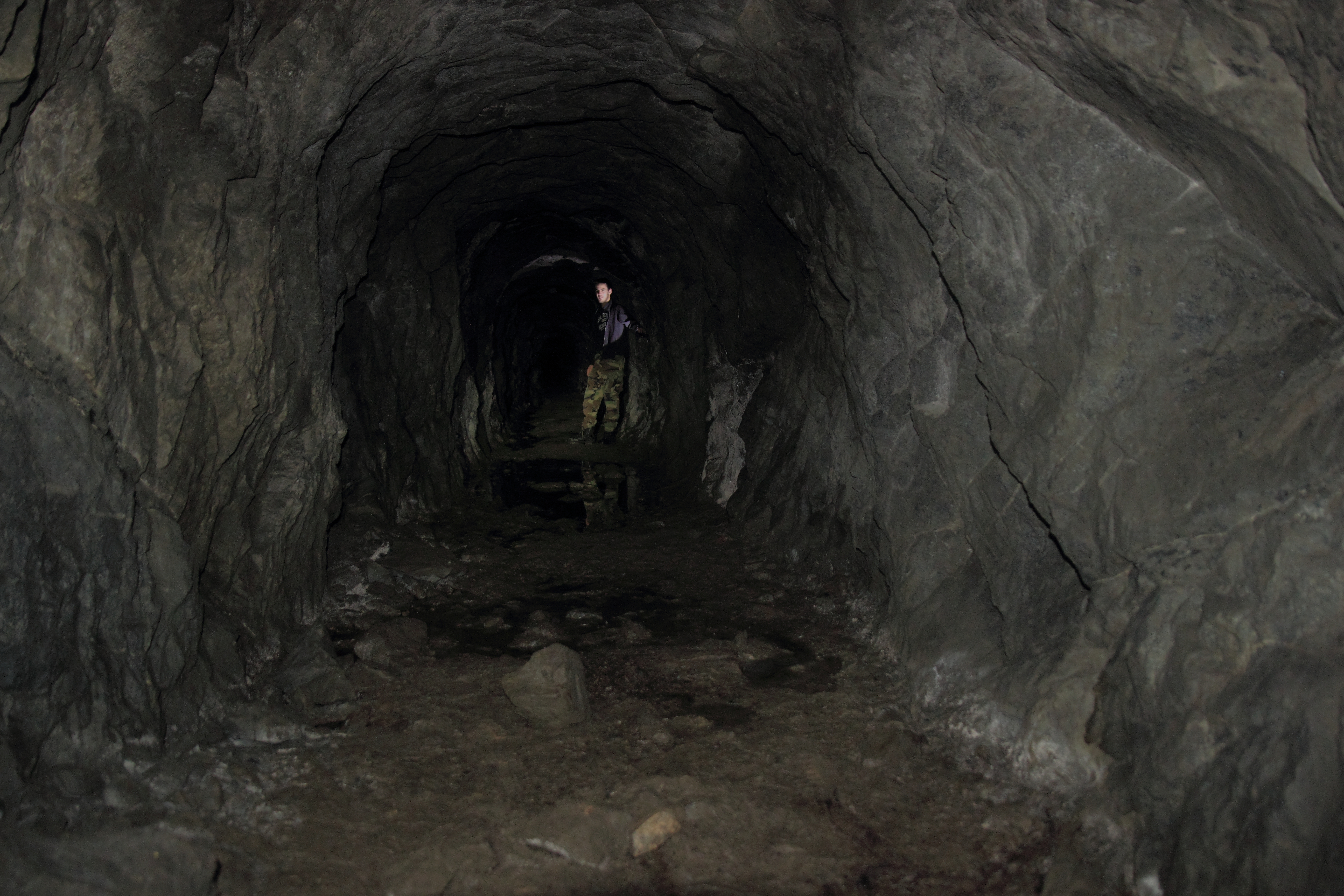
McInery Tunnel

Road To Eden
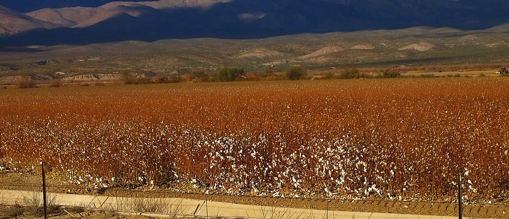
Pima cotton
Multimedia message
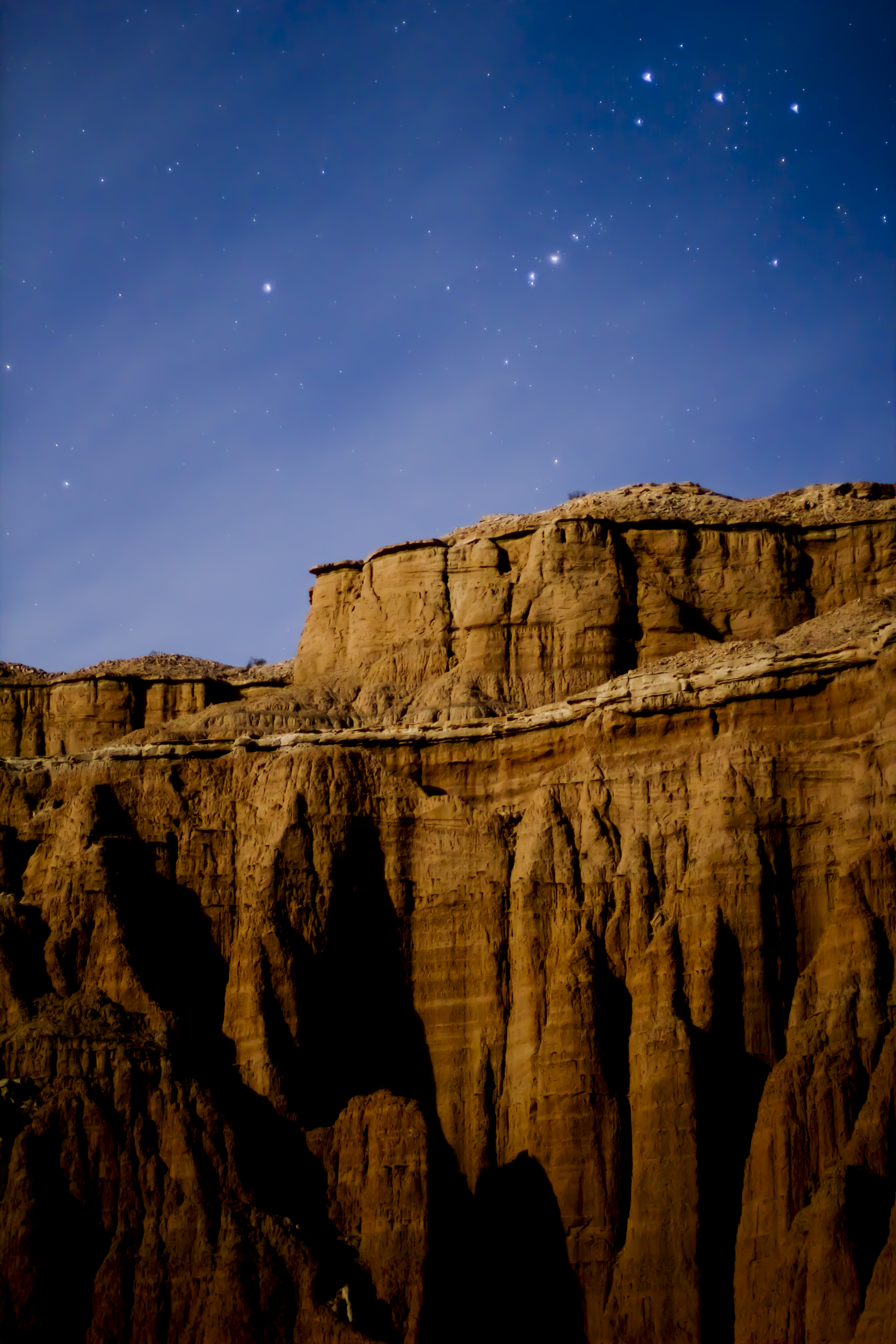
Red Knolls

Thunderhead over Mount Graham
Safford Grids and Mount Graham

Agricultural grid
Safford Grids and Bryce Mountain

where is my tractor?
Mt. Graham

Gila River
Safford, AZ

Phaon Crescent (Phyciodes phaon)
Topographic Map of Coons Ln, Pima, AZ, USA
Find elevation by address:

Places near Coons Ln, Pima, AZ, USA:
Bryce
Pima
7920 Eden Springs Rd
Bryce-Eden Rd, Pima, AZ, USA
Eden
7920 Bryce-eden Rd
10806 Cottonwood Wash Rd
10729 Cottonwood Wash Rd
10729 Cottonwood Wash Rd
US-70, Pima, AZ, USA
7867 W Grandmas Dr
353 Cluff Ranch Rd
Watson Ln, Safford, AZ, USA
Gila Valley Arizona Temple
2247 Streaks Canyon Rd
Thatcher
248 N Stadium Ave
US-70, Fort Thomas, AZ, USA
Freeport Mcmoran Road
1214 Us-70
Recent Searches:
- Elevation of Corso Fratelli Cairoli, 35, Macerata MC, Italy
- Elevation of Tallevast Rd, Sarasota, FL, USA
- Elevation of 4th St E, Sonoma, CA, USA
- Elevation of Black Hollow Rd, Pennsdale, PA, USA
- Elevation of Oakland Ave, Williamsport, PA, USA
- Elevation of Pedrógão Grande, Portugal
- Elevation of Klee Dr, Martinsburg, WV, USA
- Elevation of Via Roma, Pieranica CR, Italy
- Elevation of Tavkvetili Mountain, Georgia
- Elevation of Hartfords Bluff Cir, Mt Pleasant, SC, USA