Elevation of Watson Ln, Safford, AZ, USA
Location: United States > Arizona > Safford >
Longitude: -109.77464
Latitude: 32.897329
Elevation: 878m / 2881feet
Barometric Pressure: 91KPa
Elevation Map:
Satellite Map:
Related Photos:
McInery Tunnel

Road To Eden

i like quality, not quantity

Guitar Playing

V-22 Osprey

Red Ruby Reflection
Mt. Graham Winter - Panorama

30 seconds of mosquitoes
Multimedia message
Ancient peaks from an enormous geologic event.
IMAG1241~2
It was quite the experience coming into contact with 4 coyoytes feeding, and only rocks and a leatherman to even the odds, but one must always remember - your a potential meal in their house - Not Yours.

yellow truck hdr

Morning light
Safford Grids and Mount Graham

desert oasis

Pima cotton
Safford Grids and Bryce Mountain

skinny dip at twenty-six

Agricultural grid
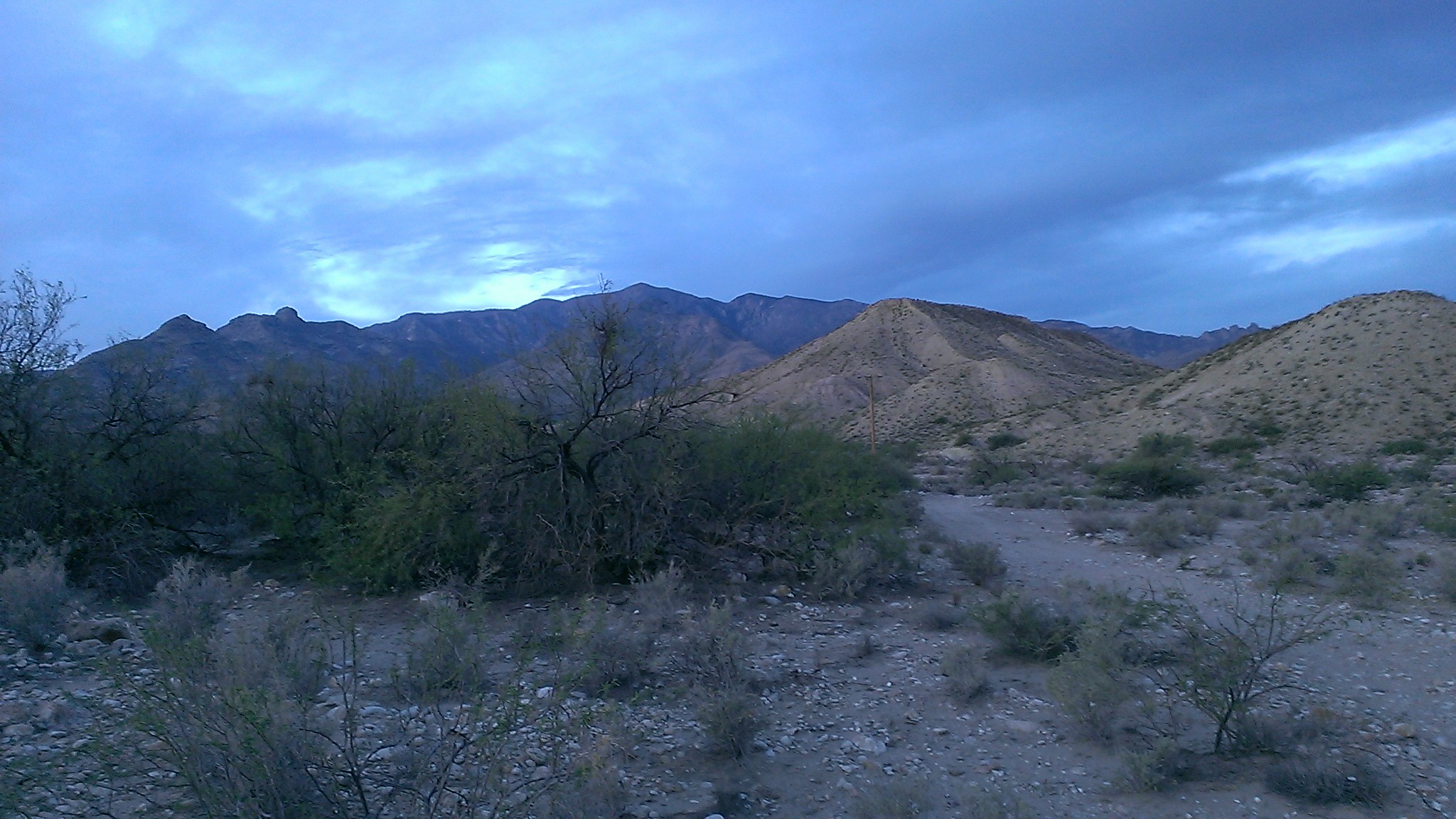
Trail into Devils Canyon
Disc Park hdr

where is my tractor?
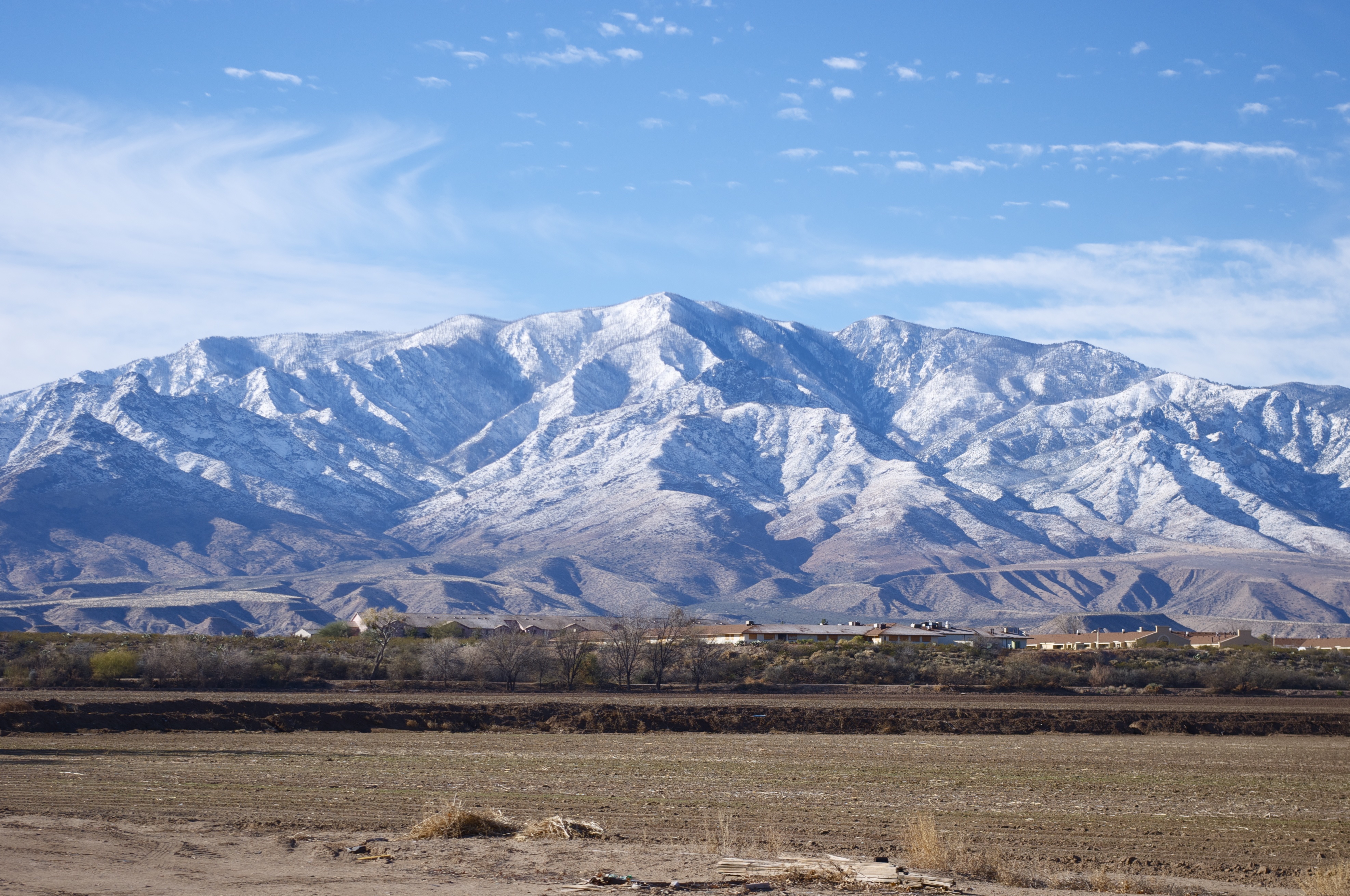
Mt. Graham
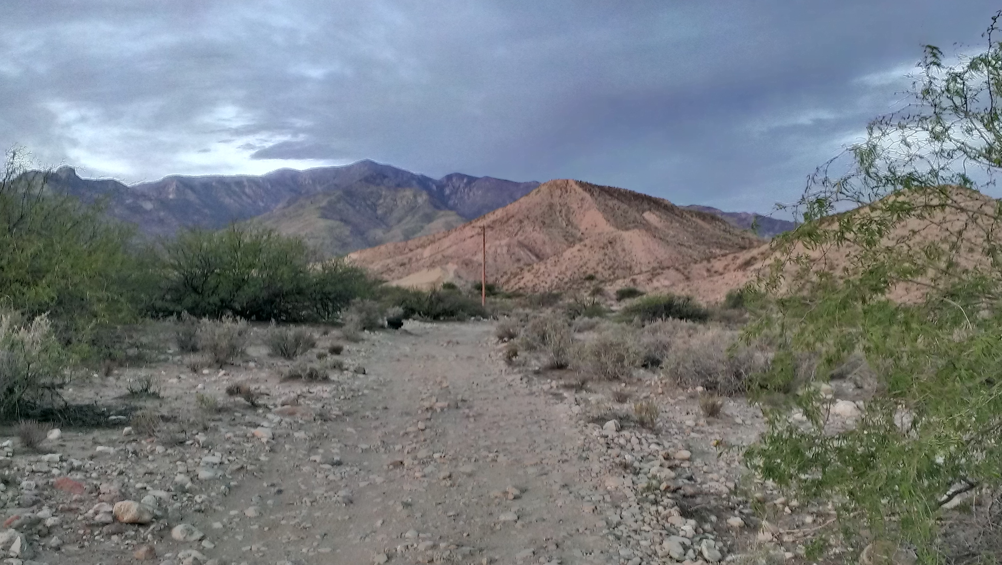
Devils Canyon Trail in more light.

Gila River
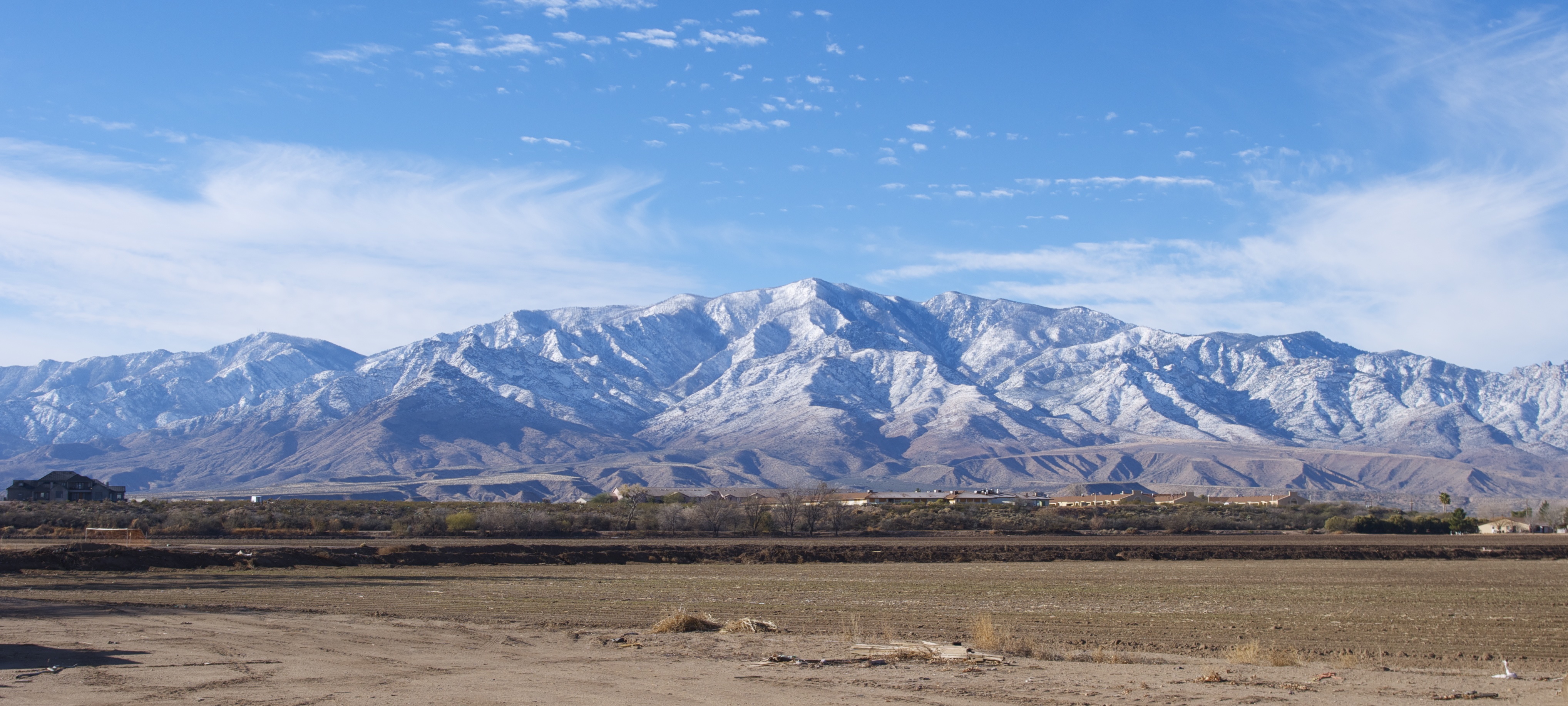
Mt. Graham
Topographic Map of Watson Ln, Safford, AZ, USA
Find elevation by address:

Places near Watson Ln, Safford, AZ, USA:
Gila Valley Arizona Temple
Thatcher
Pima
248 N Stadium Ave
Bryce
Freeport Mcmoran Road
1214 Us-70
7867 W Grandmas Dr
353 Cluff Ranch Rd
Coons Ln, Pima, AZ, USA
Safford
1520 S 1st Ave
10729 Cottonwood Wash Rd
10729 Cottonwood Wash Rd
10806 Cottonwood Wash Rd
2247 Streaks Canyon Rd
7920 Eden Springs Rd
Bryce-Eden Rd, Pima, AZ, USA
Eden
7920 Bryce-eden Rd
Recent Searches:
- Elevation of Corso Fratelli Cairoli, 35, Macerata MC, Italy
- Elevation of Tallevast Rd, Sarasota, FL, USA
- Elevation of 4th St E, Sonoma, CA, USA
- Elevation of Black Hollow Rd, Pennsdale, PA, USA
- Elevation of Oakland Ave, Williamsport, PA, USA
- Elevation of Pedrógão Grande, Portugal
- Elevation of Klee Dr, Martinsburg, WV, USA
- Elevation of Via Roma, Pieranica CR, Italy
- Elevation of Tavkvetili Mountain, Georgia
- Elevation of Hartfords Bluff Cir, Mt Pleasant, SC, USA