Elevation of US-36, Chillicothe, MO, USA
Location: United States > Missouri > Livingston County >
Longitude: -93.470125
Latitude: 39.7765473
Elevation: 222m / 728feet
Barometric Pressure: 99KPa
Elevation Map:
Satellite Map:
Related Photos:

IMG_9478
IMG_9479
45234

Missouri sunset

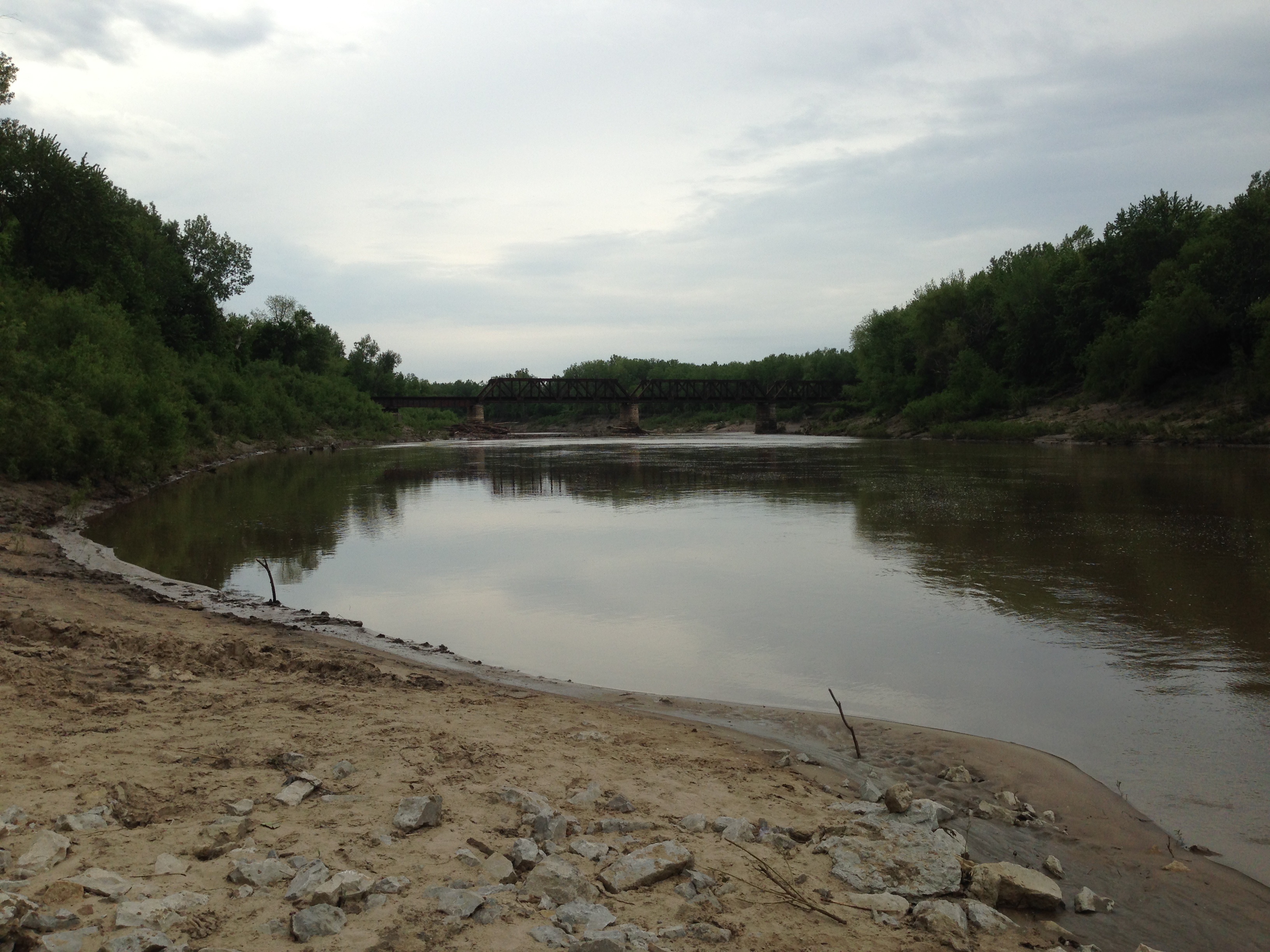
140524-01 (2014-05-24) - 0004
140524-01 (2014-05-24) - 0003
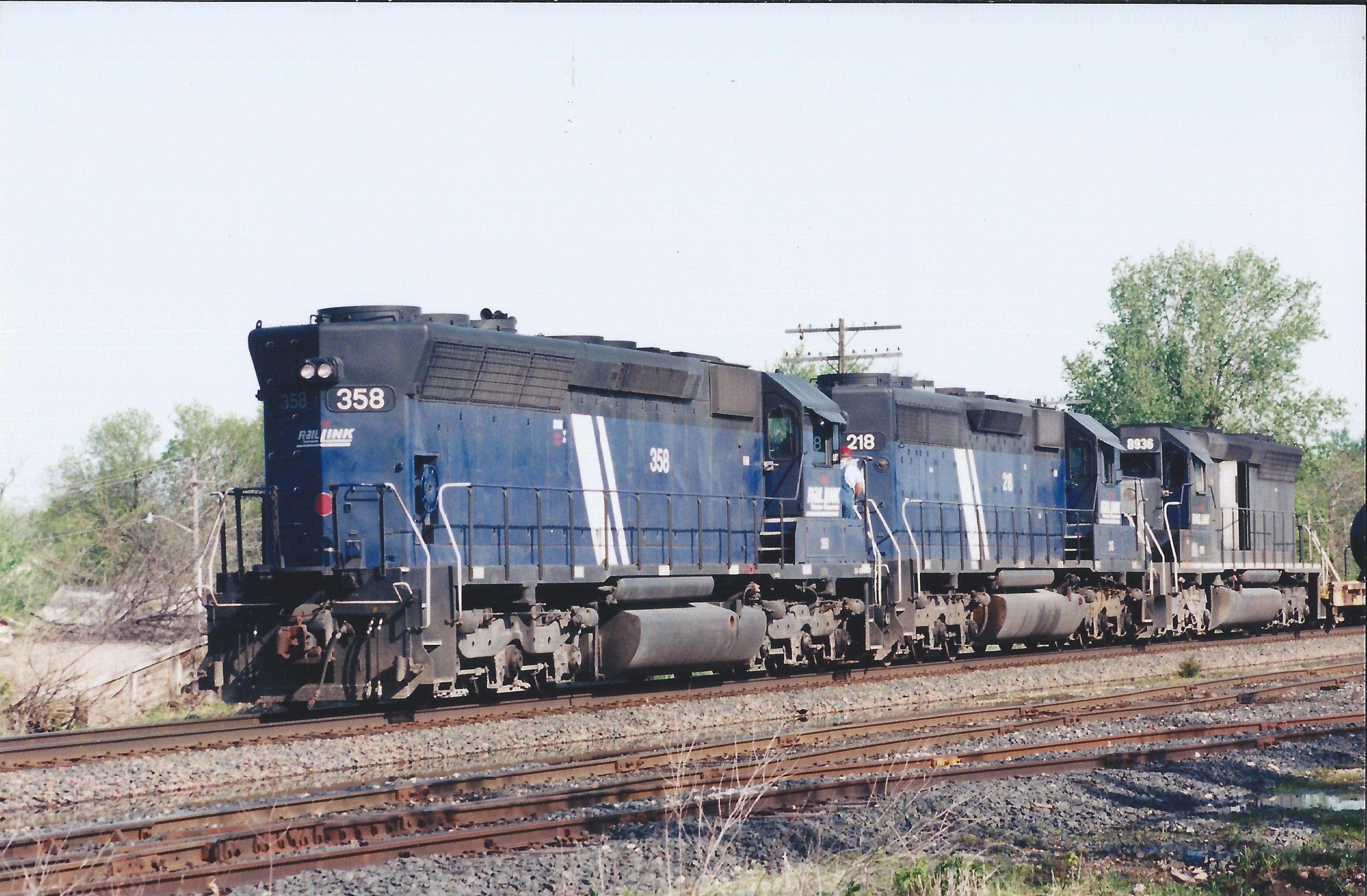
IMRL 358
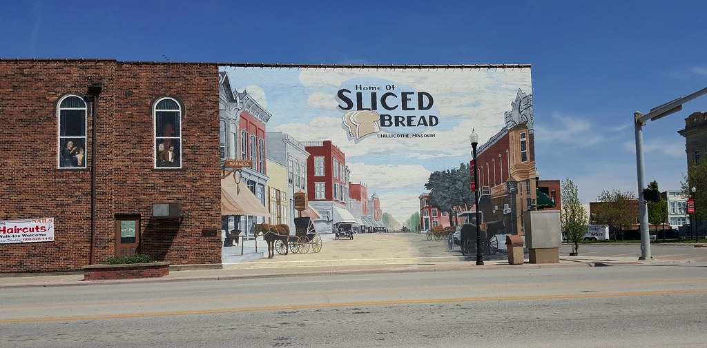
Chillicothe, Missouri: the best thing before your best thing.
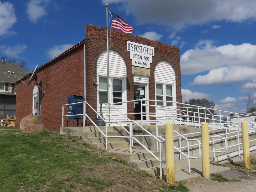
Post Office 64686 (Utica, Missouri)
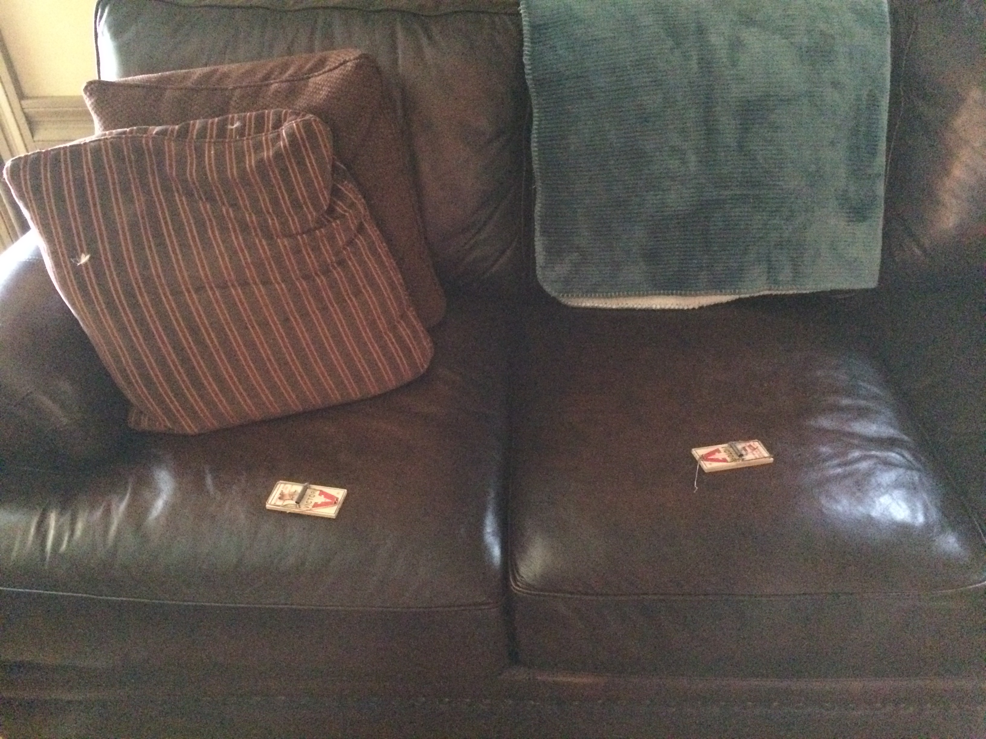
Watch where you sit.

Livingston County CH
Chillicothe–Brunswick Rail Maintenance Authority
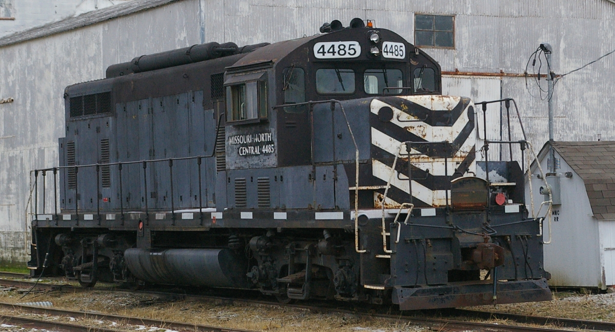
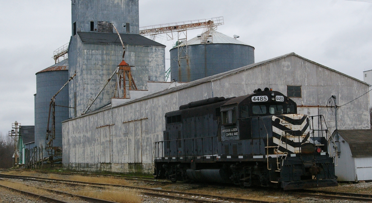
Missouri-North Central 4485

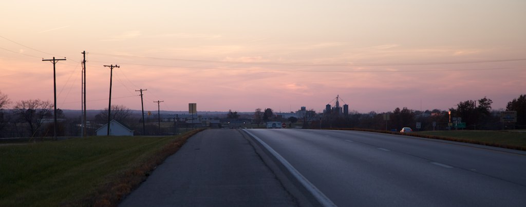
Missouri sunset

Missouri sunset
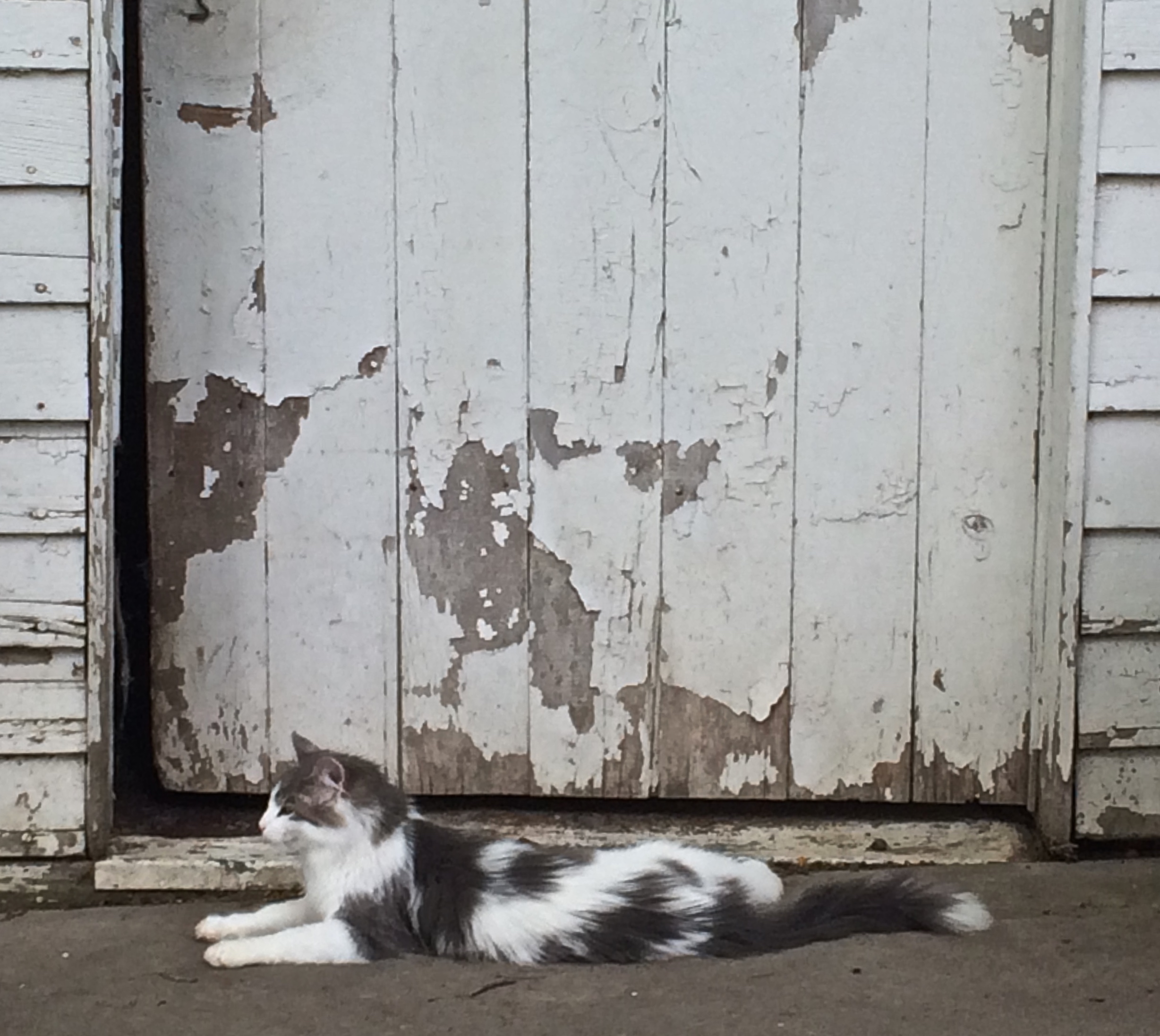
Gray and white
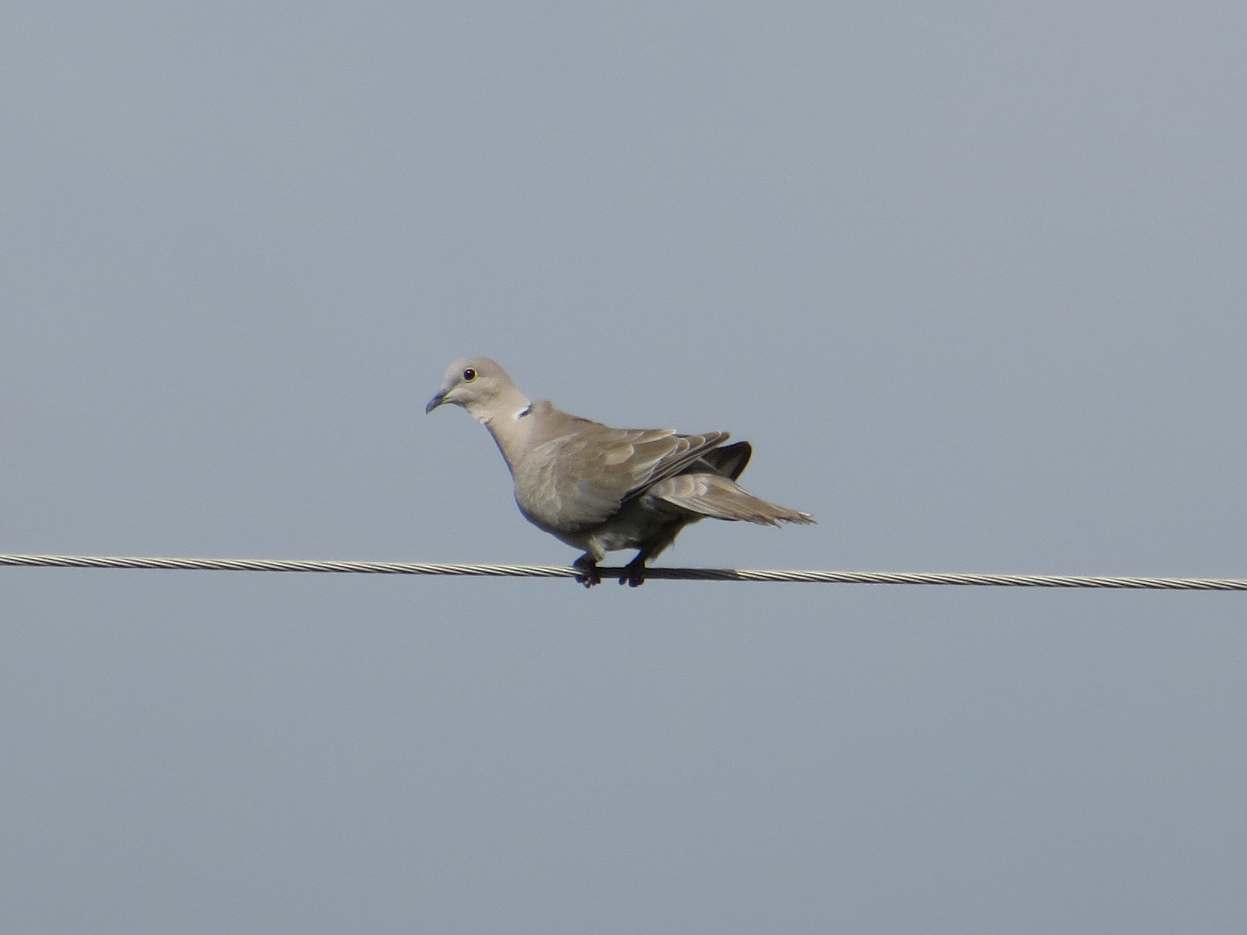
Bird on a wire

Get up!

Union Covered Bridge State Historic Site
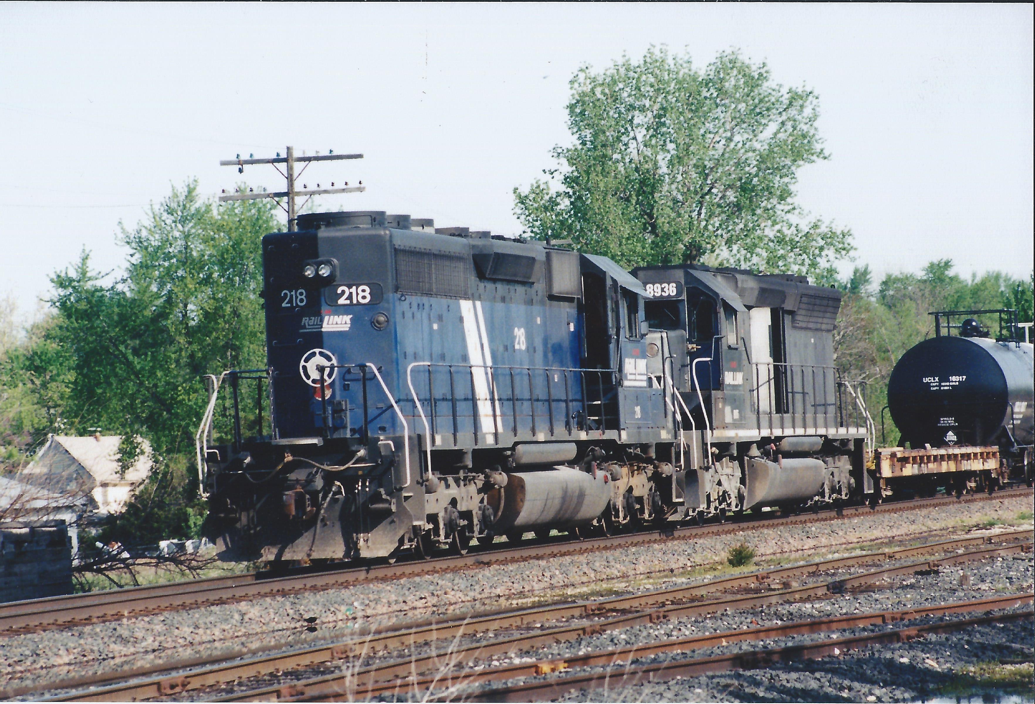
IMRL 218

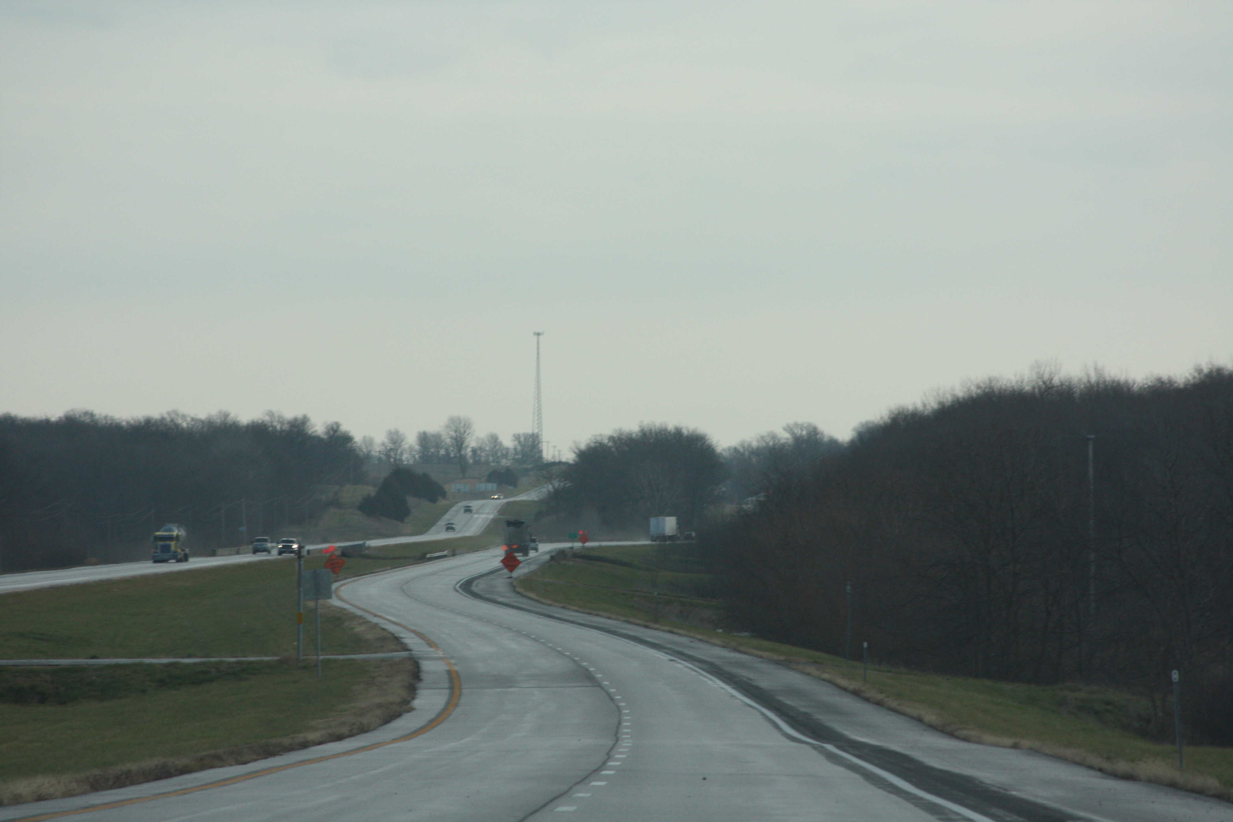
140524-02 (2014-05-25) - 0012
140524-01 (2014-05-25) - 0026
140524-01 (2014-05-25) - 0025
140524-02 (2014-05-25) - 0011
Topographic Map of US-36, Chillicothe, MO, USA
Find elevation by address:

Places near US-36, Chillicothe, MO, USA:
Rich Hill Township
11116 Liv 251
11116 Liv 251
19508 Liv 232
Livingston County
Chillicothe
N 2nd St, Wheeling, MO, USA
Chillicothe Township
1708 Boyd St
Green Township
Garrow St, Utica, MO, USA
Utica
22512 Berry Dr
8384 State Hwy A
Clay Township
Jackson Township
Pershing Dr, Laclede, MO, USA
Linn County
Laclede
550 Sw 54th St
Recent Searches:
- Elevation of Corso Fratelli Cairoli, 35, Macerata MC, Italy
- Elevation of Tallevast Rd, Sarasota, FL, USA
- Elevation of 4th St E, Sonoma, CA, USA
- Elevation of Black Hollow Rd, Pennsdale, PA, USA
- Elevation of Oakland Ave, Williamsport, PA, USA
- Elevation of Pedrógão Grande, Portugal
- Elevation of Klee Dr, Martinsburg, WV, USA
- Elevation of Via Roma, Pieranica CR, Italy
- Elevation of Tavkvetili Mountain, Georgia
- Elevation of Hartfords Bluff Cir, Mt Pleasant, SC, USA