Elevation of Livingston County, MO, USA
Location: United States > Missouri >
Longitude: -93.500345
Latitude: 39.8464073
Elevation: 239m / 784feet
Barometric Pressure: 98KPa
Elevation Map:
Satellite Map:
Related Photos:

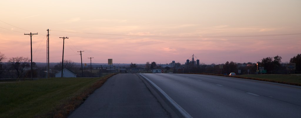
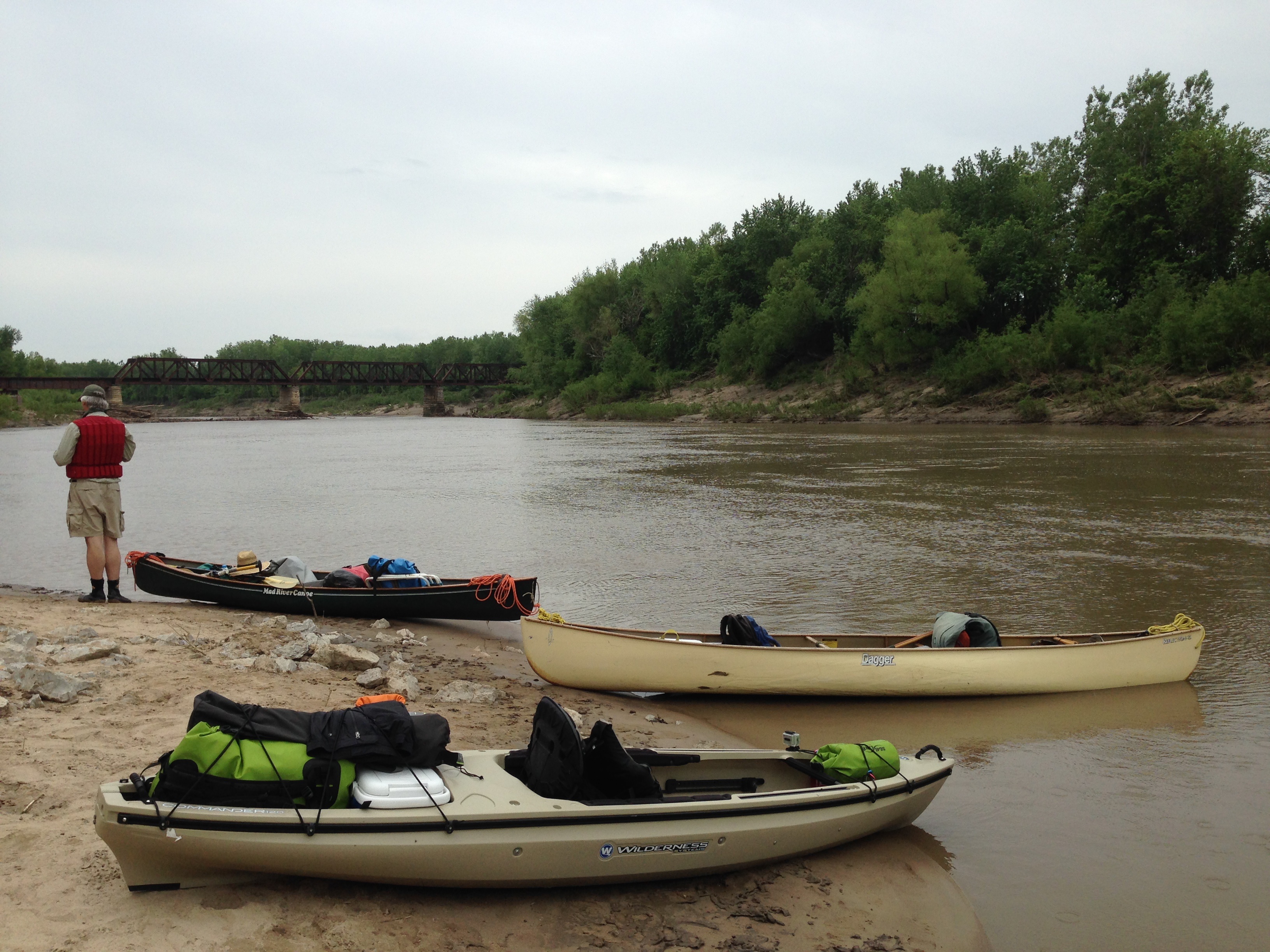
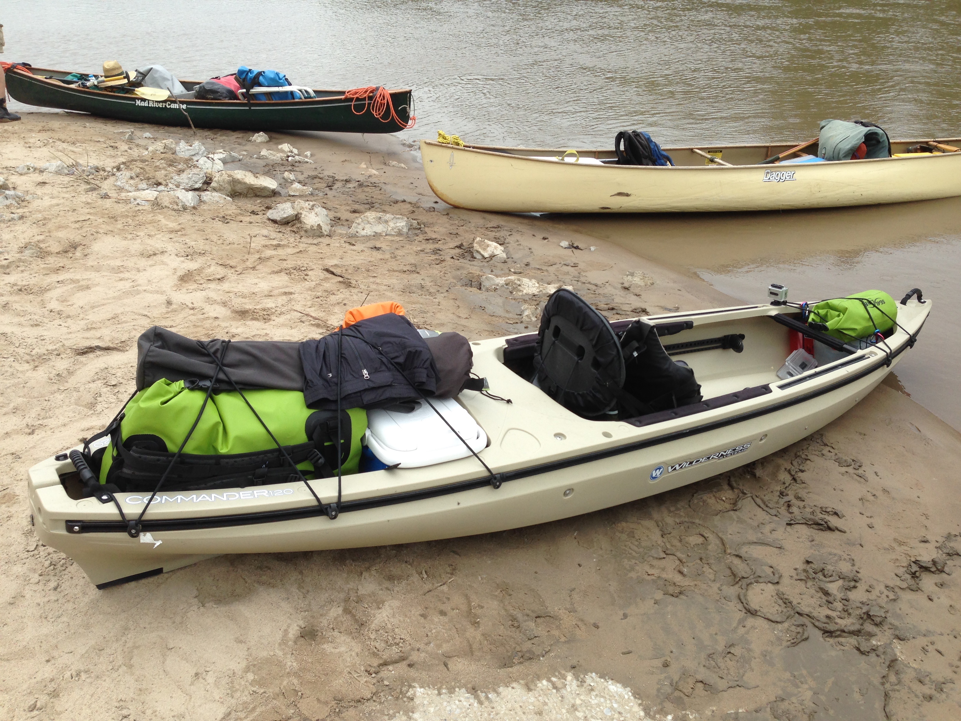
IMG_9478
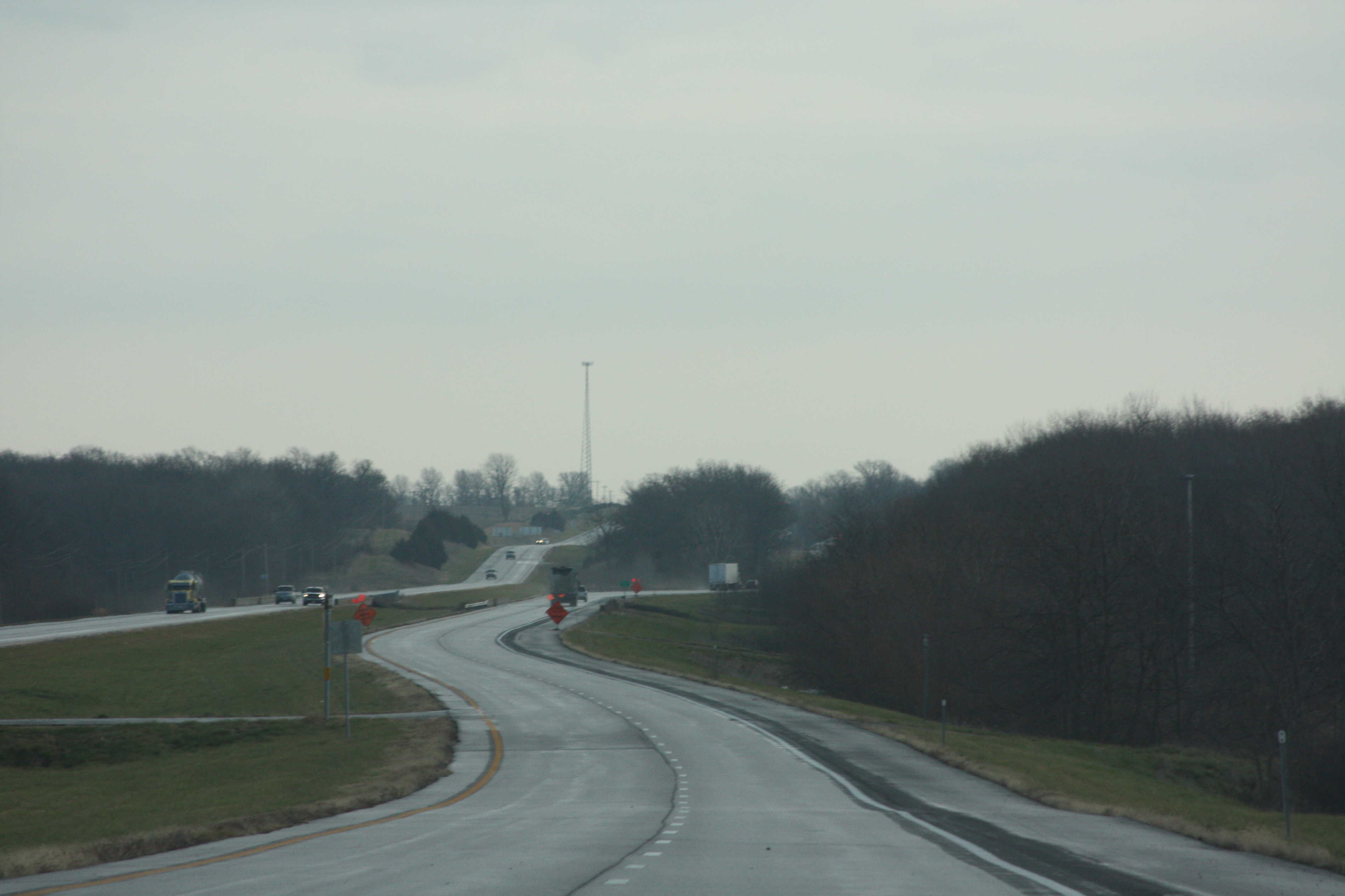
IMG_9479
45234

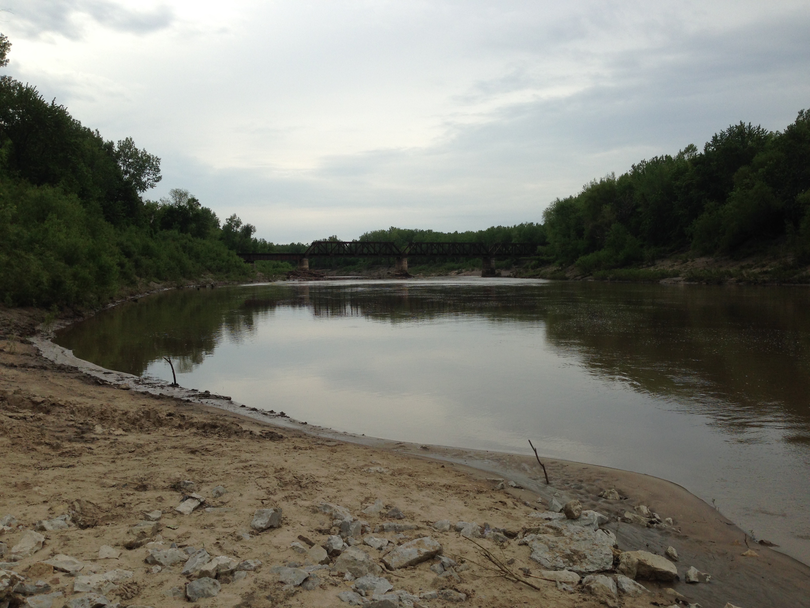
140524-01 (2014-05-24) - 0004
140524-01 (2014-05-24) - 0003
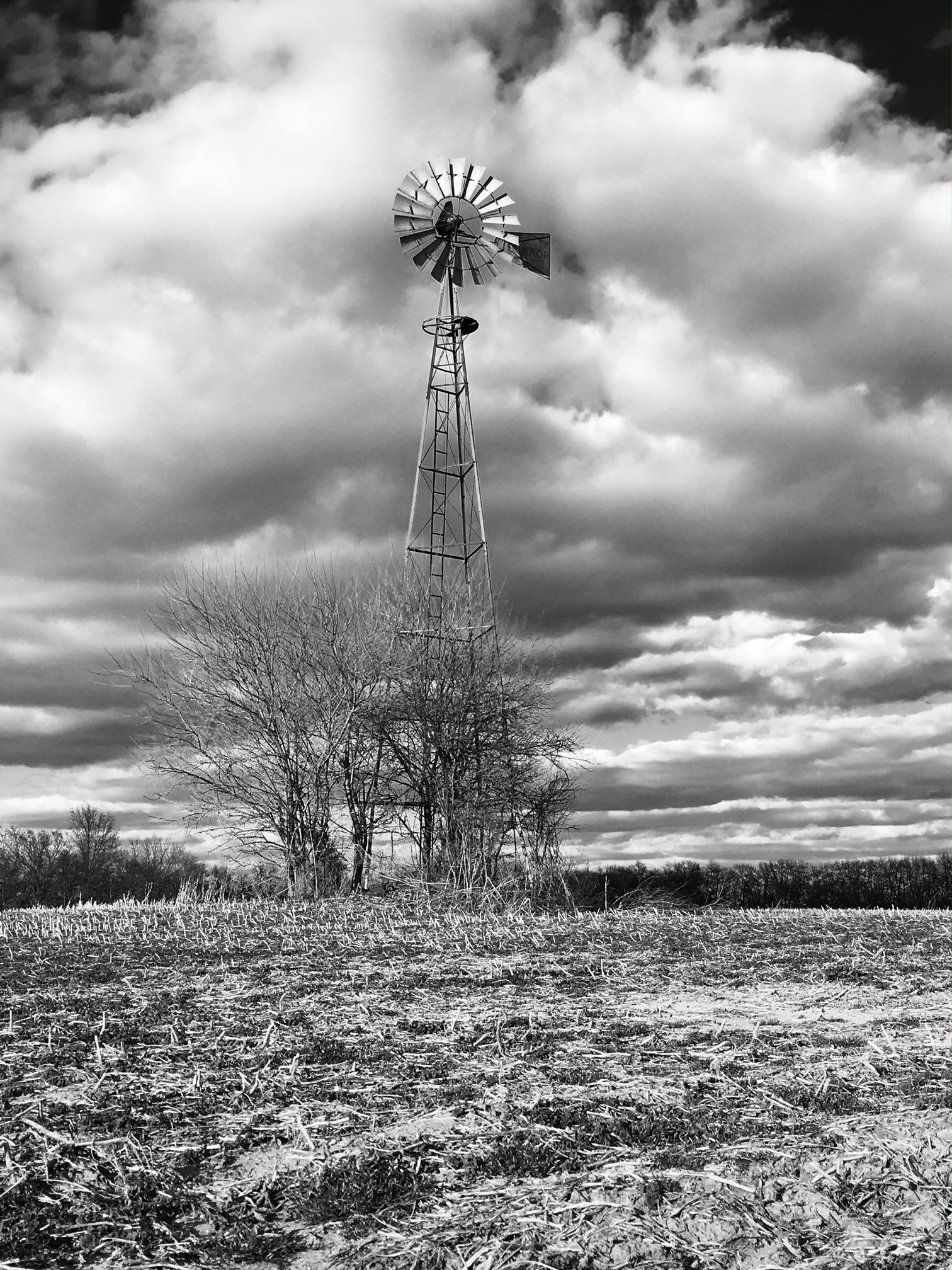
Georganna Clark - March Cornfield
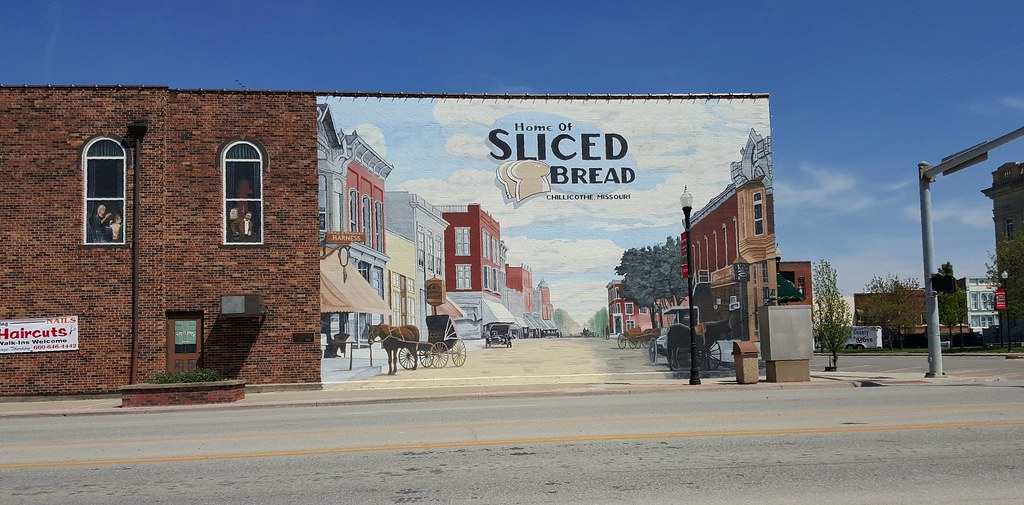
Chillicothe, Missouri: the best thing before your best thing.
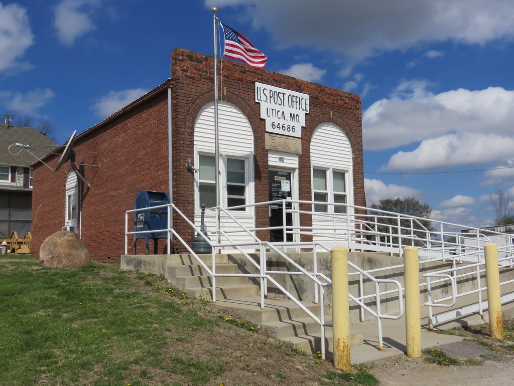
Post Office 64686 (Utica, Missouri)

Livingston County CH
Chillicothe–Brunswick Rail Maintenance Authority
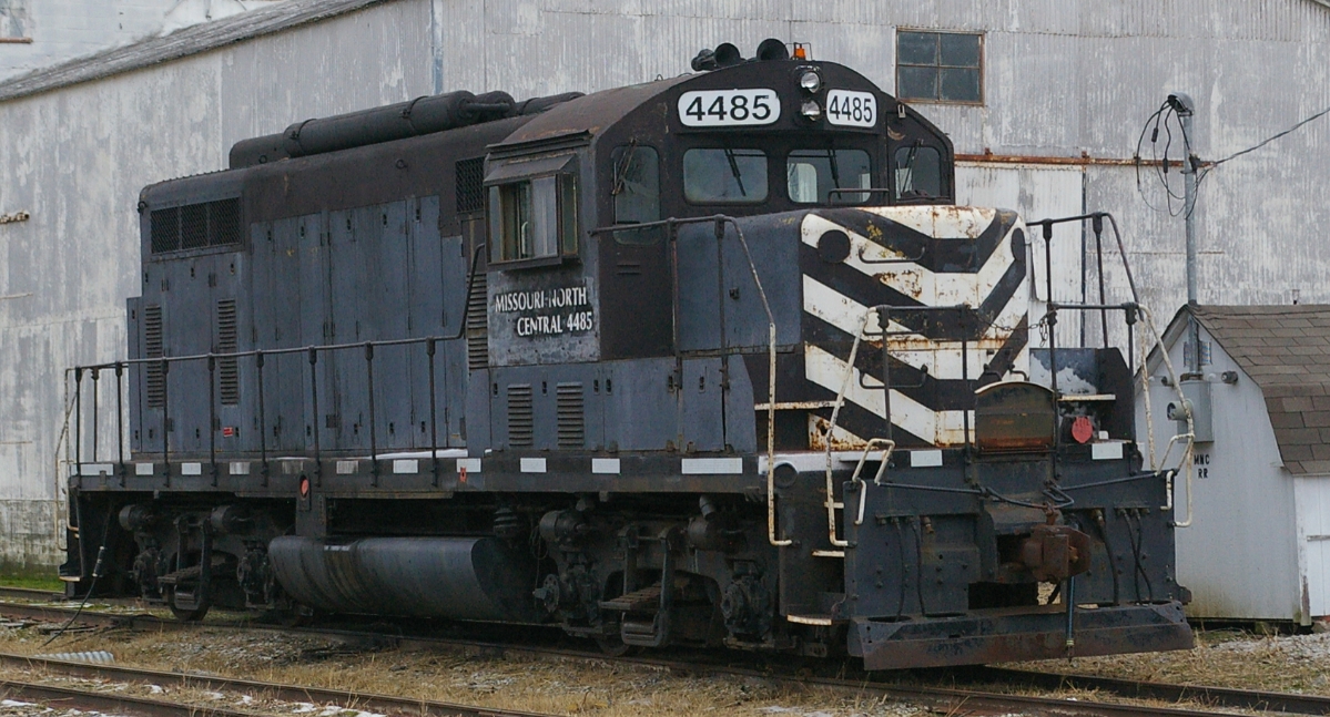
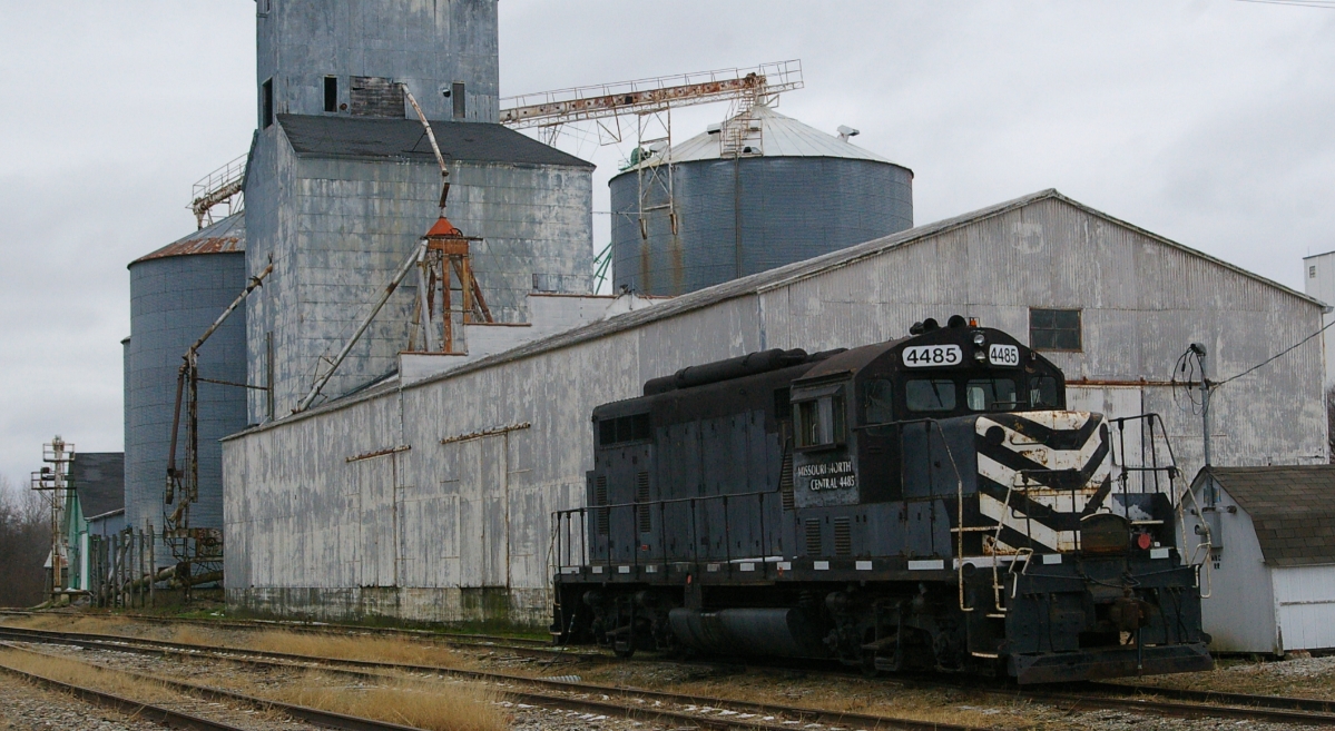
Missouri-North Central 4485

IMRL 358
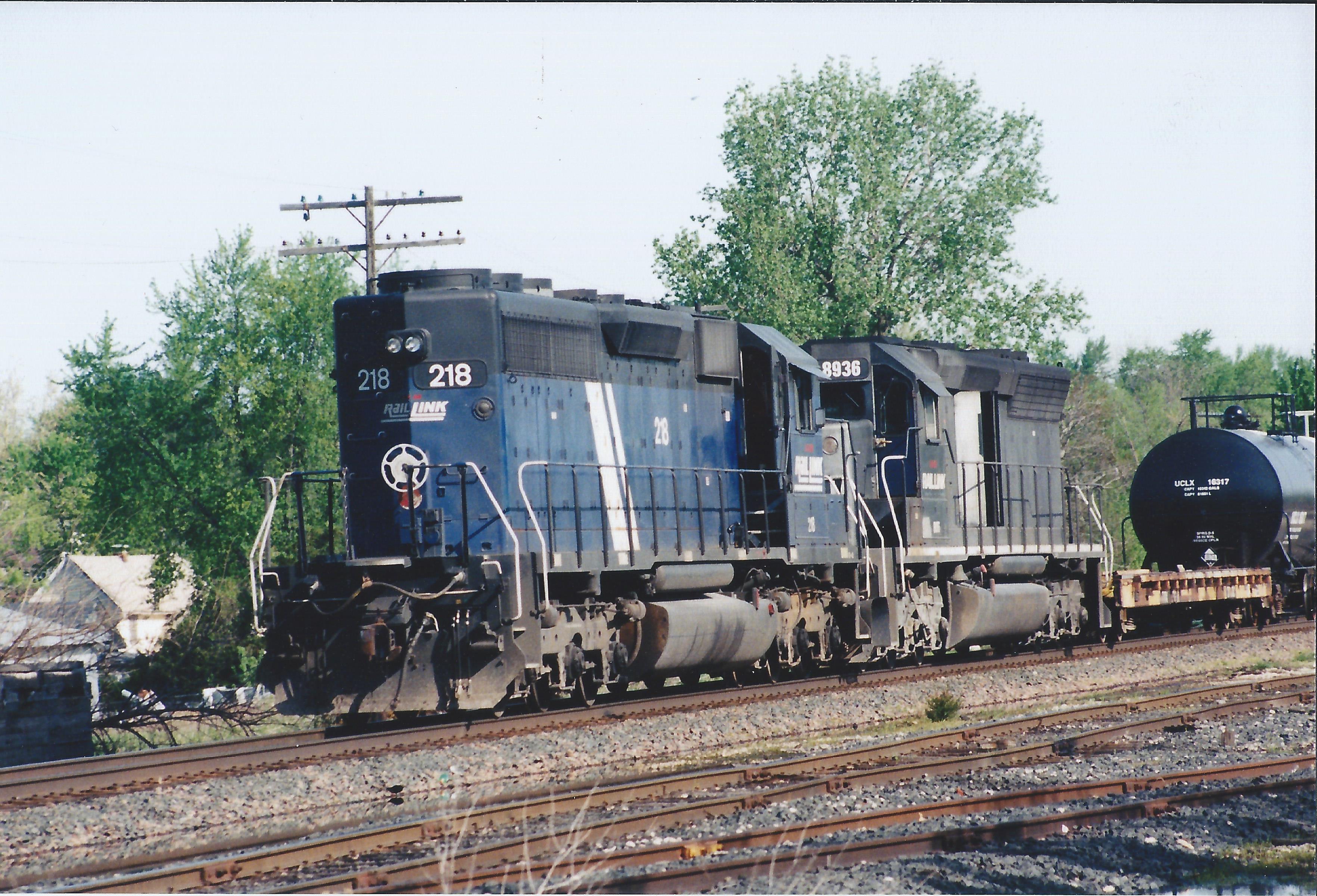
IMRL 218
140524-02 (2014-05-24) - 0004
140524-01 (2014-05-24) - 0014

140524-01 (2014-05-24) - 0013
140524-02 (2014-05-24) - 0003
140524-01 (2014-05-24) - 0007
140524-01 (2014-05-24) - 0005
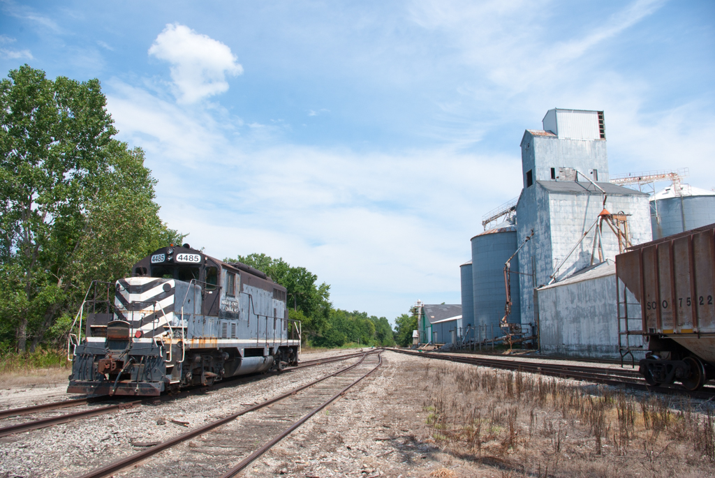
Missouri North Central 4485 at Chillicothe, MO
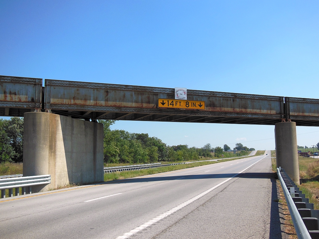
Wabash overpass, Hwy 36 Chillicothe, Missouri
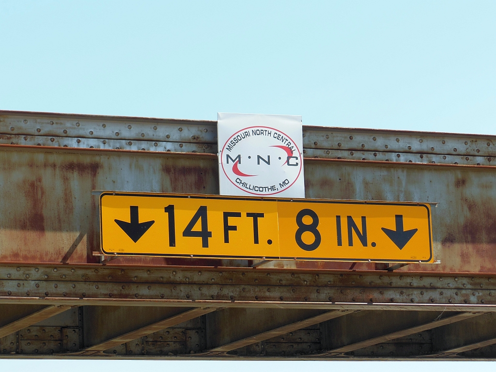
Wabash overpass Hwy 36, Chillicothe, Missouri

Chillicothe airport
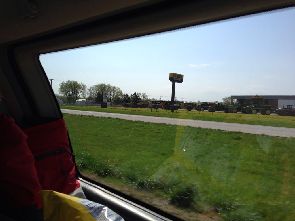
Ziegler AG Equipment
Topographic Map of Livingston County, MO, USA
Find elevation by address:

Places in Livingston County, MO, USA:
Places near Livingston County, MO, USA:
Rich Hill Township
11116 Liv 251
11116 Liv 251
Chillicothe
1708 Boyd St
US-36, Chillicothe, MO, USA
Chillicothe Township
19508 Liv 232
N 2nd St, Wheeling, MO, USA
8384 State Hwy A
Green Township
Garrow St, Utica, MO, USA
Utica
22512 Berry Dr
Jackson Township
Clay Township
550 Sw 54th St
Trenton
Center St, Galt, MO, USA
Galt
Recent Searches:
- Elevation of Corso Fratelli Cairoli, 35, Macerata MC, Italy
- Elevation of Tallevast Rd, Sarasota, FL, USA
- Elevation of 4th St E, Sonoma, CA, USA
- Elevation of Black Hollow Rd, Pennsdale, PA, USA
- Elevation of Oakland Ave, Williamsport, PA, USA
- Elevation of Pedrógão Grande, Portugal
- Elevation of Klee Dr, Martinsburg, WV, USA
- Elevation of Via Roma, Pieranica CR, Italy
- Elevation of Tavkvetili Mountain, Georgia
- Elevation of Hartfords Bluff Cir, Mt Pleasant, SC, USA