Latitude: 39.786878
Longitude: -93.168985
Elevation: 242 meters / 794 feet
Barometric Pressure 985KPa

Related Photos

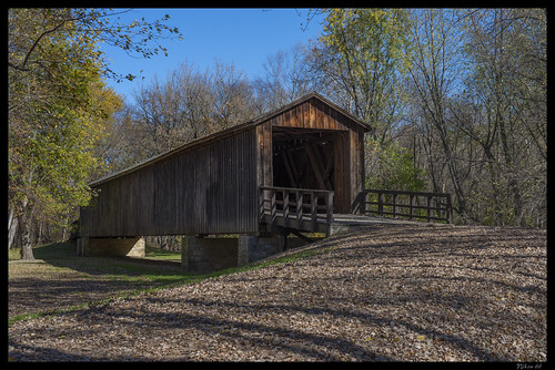
Locust Creek Covered Bridge - No. 5 by Nikon66, Built in 1868, the Locust Creek Covered Bridge once housed the nation's first transcontinental roadw
Locust Creek Covered Bridge - No. 5 by Nikon66
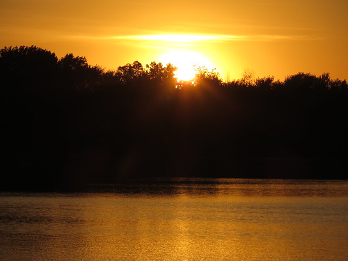
Missouri sunset by Mercer52,
Missouri sunset by Mercer52
Locust Creek Covered Bridge - No. 2 by Nikon66, Built in 1868, the Locust Creek Covered Bridge once housed the nation's first transcontinental roadw
Locust Creek Covered Bridge - No. 2 by Nikon66
Locust Creek Covered Bridge - No. 3 by Nikon66, Built in 1868, the Locust Creek Covered Bridge once housed the nation's first transcontinental roadw
Locust Creek Covered Bridge - No. 3 by Nikon66
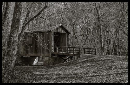
Locust Creek Covered Bridge - No. 1 by Nikon66, Built in 1868, the Locust Creek Covered Bridge once housed the nation's first transcontinental roadw
Locust Creek Covered Bridge - No. 1 by Nikon66
Locust Creek Covered Bridge - No. 4 by Nikon66, Built in 1868, the Locust Creek Covered Bridge once housed the nation's first transcontinental roadw
Locust Creek Covered Bridge - No. 4 by Nikon66
Coke at home by jimsawthat, Vintage Coca-Cola sign as landscape (along with plastic flowers) in a residential yard, Brookfield,
Coke at home by jimsawthat
Locust Creek by J. Stephen Conn, Locust Creek Covered Bridge State Historic Site, Linn County, Missourimo missouri coveredbridge linn
Locust Creek by J. Stephen Conn
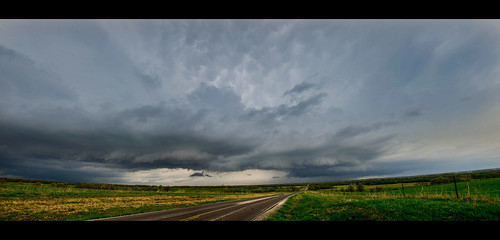
Airport_Pano by AaronHill | Photography, 16 shot panorama of the old Brookfield MO airport. 90 degrees looking from straight south down the r
Airport_Pano by AaronHill | Photography
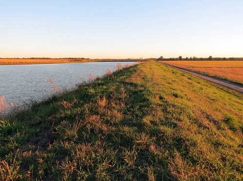
Heartland by Mercer52,
Heartland by Mercer52
D7K_9208 by AaronHill | Photography, sun corn aperture nikon farm country wideangle missouri crops flair laclede 28g 1424mm d7000
D7K_9208 by AaronHill | Photography
Lake Che-Ru by Mercer52,
Lake Che-Ru by Mercer52
Linneus-Pano by AaronHill | Photography,
Linneus-Pano by AaronHill | Photography
Locust Creek Covered Bridge State Historic Site (Linn County, Missouri) by courthouselover, The Locust Creek Covered Bridge is located a few miles east of the town of Meadville over Locust Cre
Locust Creek Covered Bridge State Historic Site (Linn County, Missouri) by courthouselover
Locust Creek Covered Bridge State Historic Site (Linn County, Missouri) by courthouselover, The Locust Creek Covered Bridge is located a few miles east of the town of Meadville over Locust Cre
Locust Creek Covered Bridge State Historic Site (Linn County, Missouri) by courthouselover
Locust Creek Covered Bridge State Historic Site (Linn County, Missouri) by courthouselover, The Locust Creek Covered Bridge is located a few miles east of the town of Meadville over Locust Cre
Locust Creek Covered Bridge State Historic Site (Linn County, Missouri) by courthouselover
D7K_2748 by AaronHill | Photography,
D7K_2748 by AaronHill | Photography
D7K_9211 by AaronHill | Photography, sun aperture nikon farm country wideangle missouri crops hay flair laclede 28g 1424mm d7000
D7K_9211 by AaronHill | Photography
45259 by richiekennedy56, usa unitedstates missouri views brookfield us36 linncountymo
45259 by richiekennedy56
45234 by richiekennedy56, usa unitedstates missouri views meadville us36 linncountymo
45234 by richiekennedy56
Landscape at dusk by KWSeattle, Chariton County, MO, USA.  Oct 9, 2013.elements
Landscape at dusk by KWSeattle
Swallows at sunset by KWSeattle, Chariton County, MO, USA.  Oct 9, 2013.elements
Swallows at sunset by KWSeattle
Missouri by s.j.b., aerial view
Missouri by s.j.b.