Elevation of US-1, Hodgdon, ME, USA
Location: United States > Maine > Aroostook County > Hodgdon >
Longitude: -67.8552445
Latitude: 46.0078209
Elevation: 144m / 472feet
Barometric Pressure: 0KPa
Related Photos:
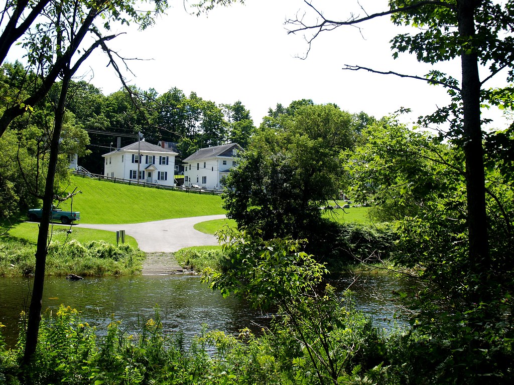
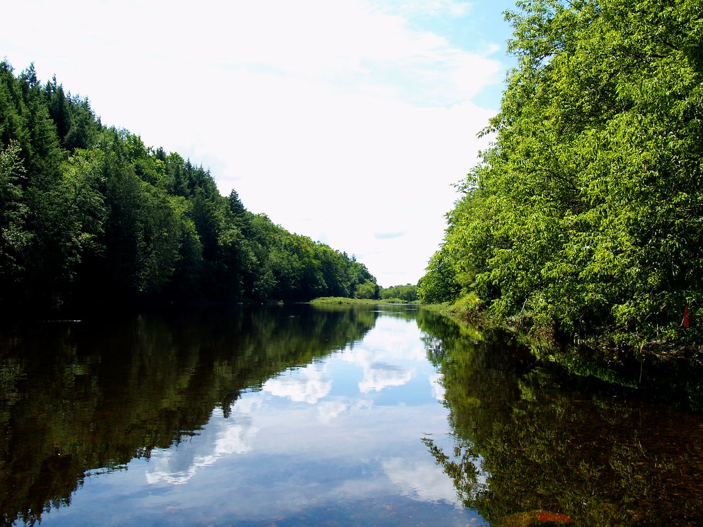
2009 Aug 11 - A view of the River Street launch in Houlton, Maine from across the Meduxnekeag river.
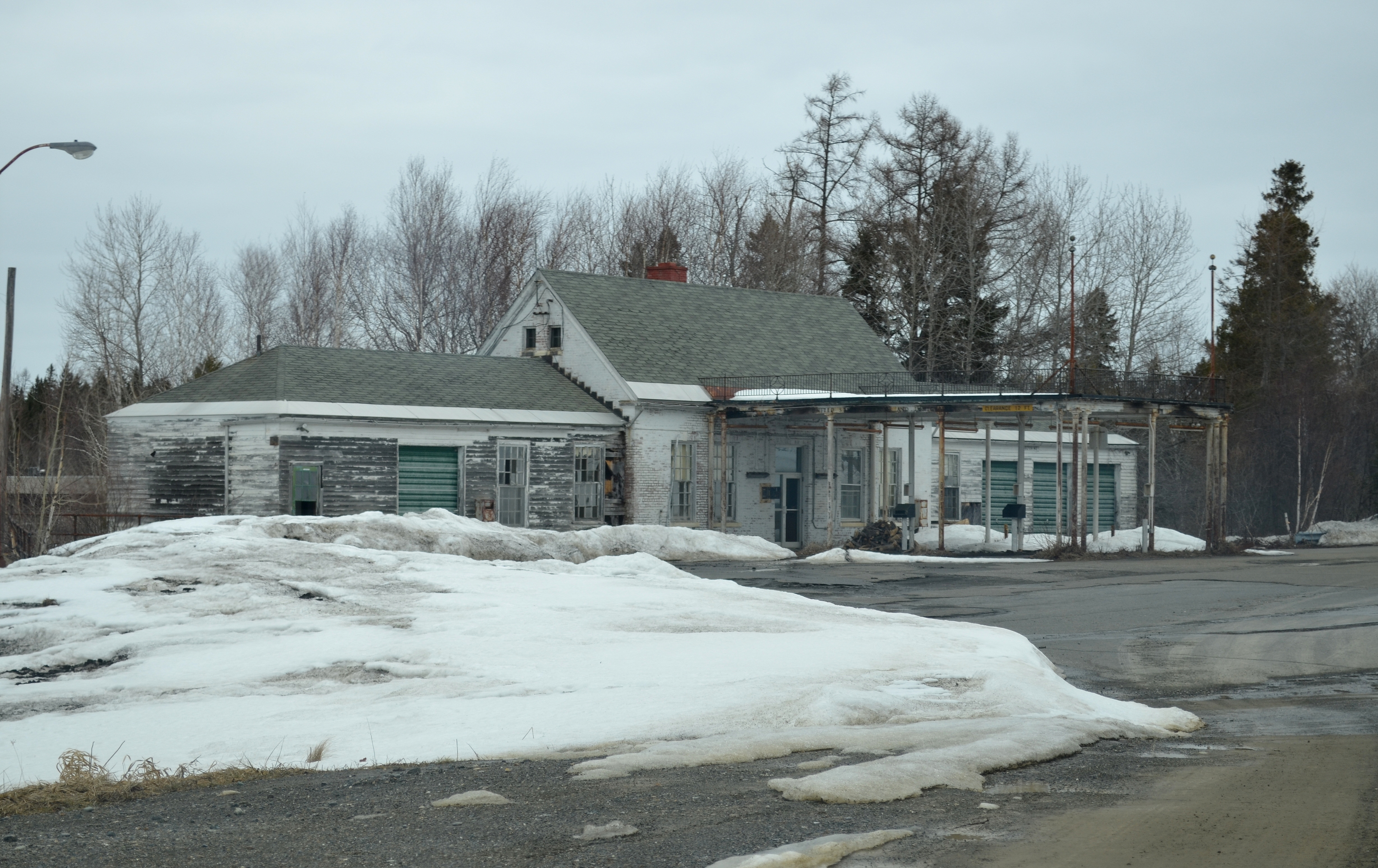
Abandoned US Customs Station - Houlton, Maine
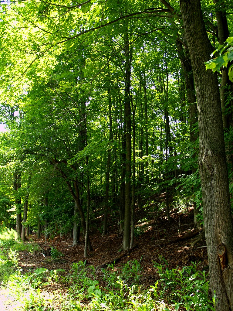
2009 Aug 11 - The trail along the Meduxnekeag river in Houlton, Maine
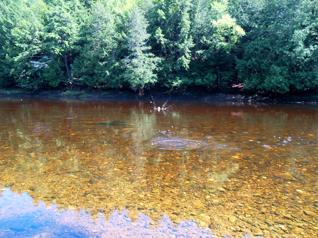
2009 Aug 11 - I was attempting to skip stones while taking photos of it at the same time. This is the Meduxnekeag river in Houlton, Maine
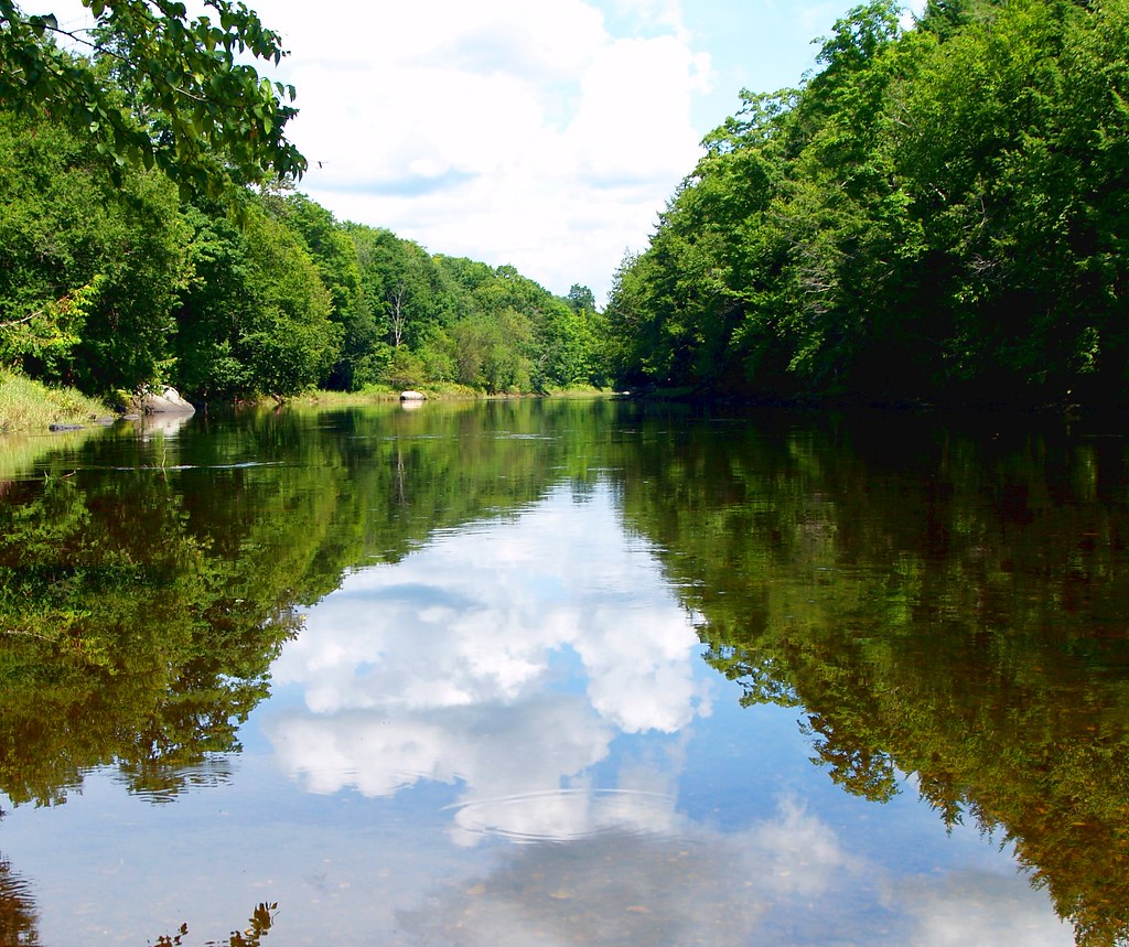
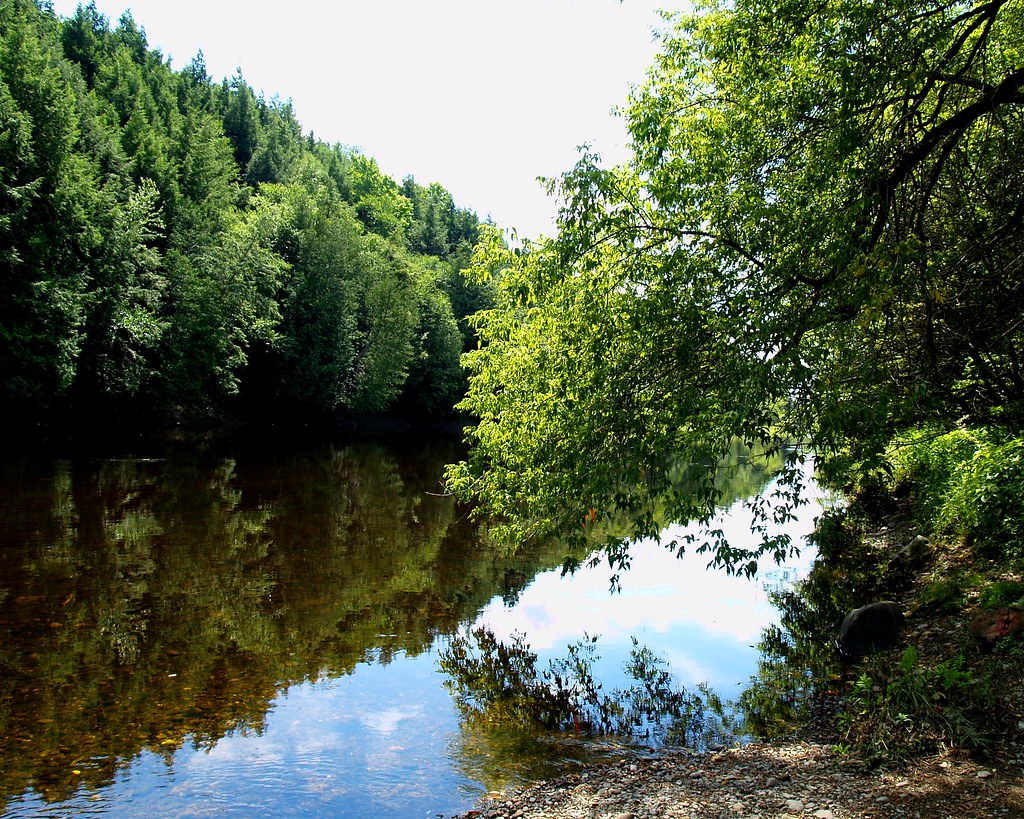
2009 Aug 11 - The Meduxnekeag river in Houlton, Maine
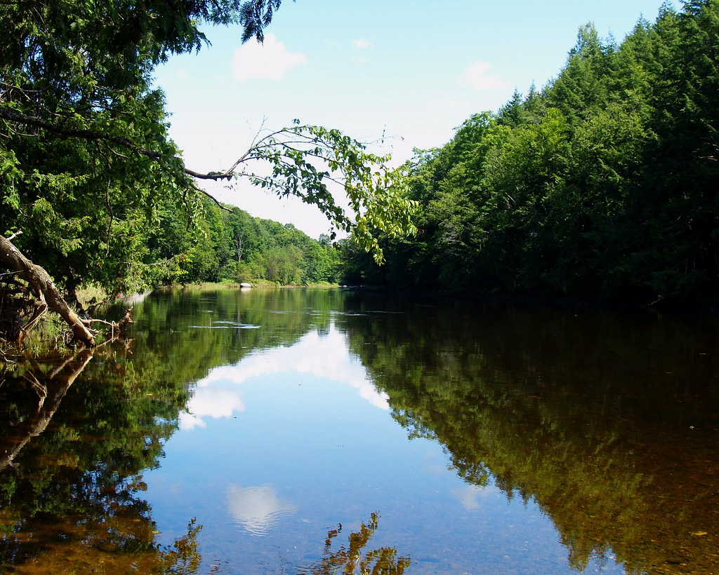
2009 Aug 11 - The Meduxnekeag river in Houlton, Maine
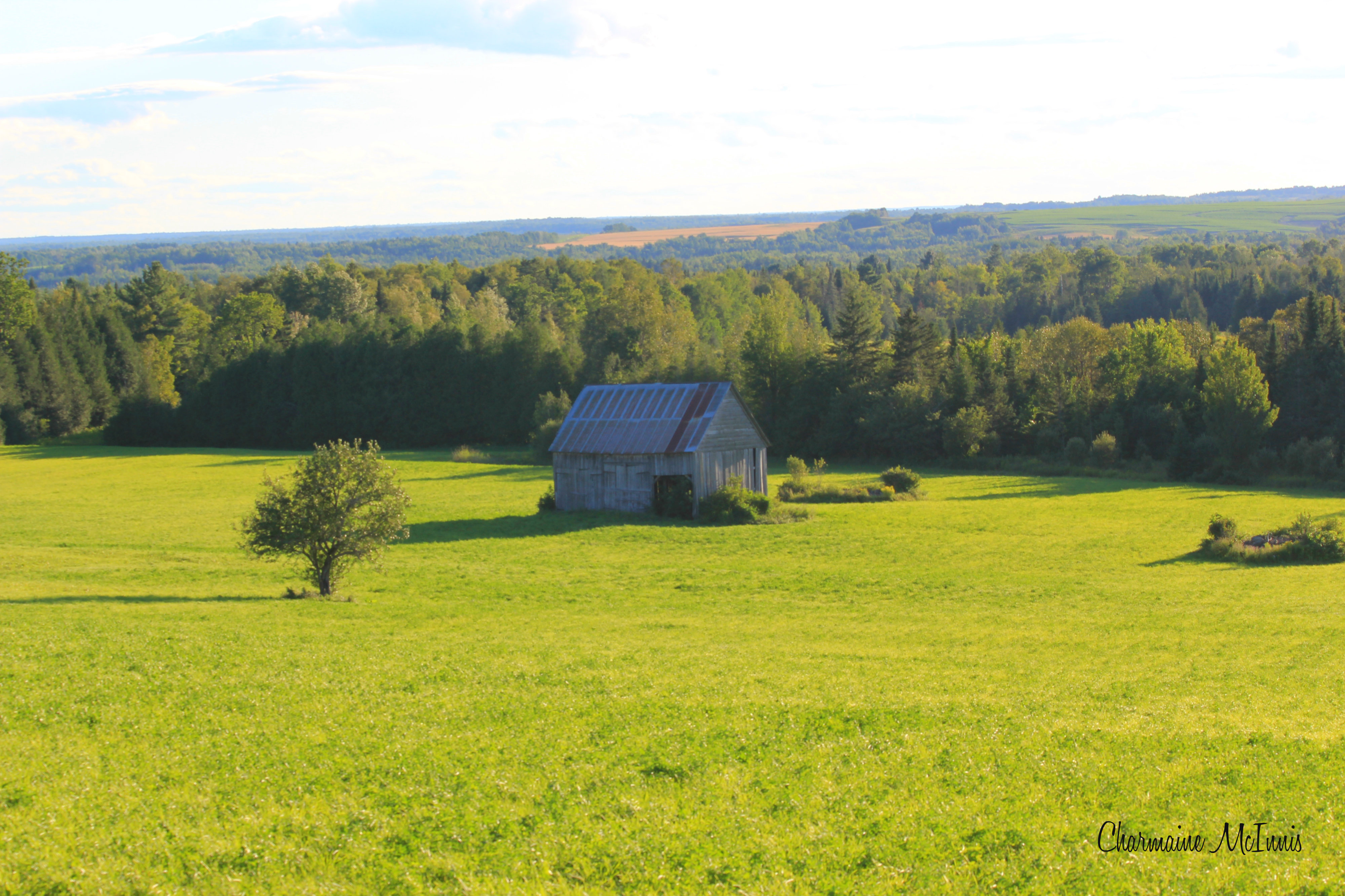
Abandoned Houses & Barns
2009 Aug 11 - Meditation Point on the Meduxnekeag river in Houlton, Maine

Houlton Farms Dairy Demo July 2012

Houlton Farms Dairy Demo July 2012
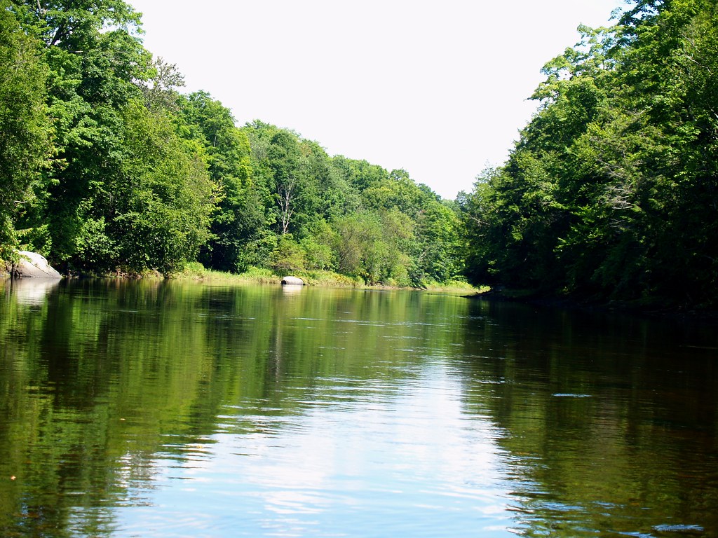
2009 Aug 11 - The Meduxnekeag river in Houlton, Maine

Drews Lake Sunrise
2009 Aug 11 - The Meduxnekeag river in Houlton, Maine

Smithwick Event-081
Topographic Map of US-1, Hodgdon, ME, USA
Find elevation by address:

Places near US-1, Hodgdon, ME, USA:
Cary
Green Road
Hodgdon
Hannigan Road
Benn Hill Road
20 Old Calais Rd
1768 Bangor Rd
Linneus
Houlton
Houlton
Drews Lake Road
Richmond
Bangor Road
Houlton Town
New Limerick
406 New Limerick Rd
334 S Oakfield Rd
334 S Oakfield Rd
334 S Oakfield Rd
334 S Oakfield Rd
Recent Searches:
- Elevation map of Greenland, Greenland
- Elevation of Sullivan Hill, New York, New York, 10002, USA
- Elevation of Morehead Road, Withrow Downs, Charlotte, Mecklenburg County, North Carolina, 28262, USA
- Elevation of 2800, Morehead Road, Withrow Downs, Charlotte, Mecklenburg County, North Carolina, 28262, USA
- Elevation of Yangbi Yi Autonomous County, Yunnan, China
- Elevation of Pingpo, Yangbi Yi Autonomous County, Yunnan, China
- Elevation of Mount Malong, Pingpo, Yangbi Yi Autonomous County, Yunnan, China
- Elevation map of Yongping County, Yunnan, China
- Elevation of North 8th Street, Palatka, Putnam County, Florida, 32177, USA
- Elevation of 107, Big Apple Road, East Palatka, Putnam County, Florida, 32131, USA
- Elevation of Jiezi, Chongzhou City, Sichuan, China
- Elevation of Chongzhou City, Sichuan, China
- Elevation of Huaiyuan, Chongzhou City, Sichuan, China
- Elevation of Qingxia, Chengdu, Sichuan, China
- Elevation of Corso Fratelli Cairoli, 35, Macerata MC, Italy
- Elevation of Tallevast Rd, Sarasota, FL, USA
- Elevation of 4th St E, Sonoma, CA, USA
- Elevation of Black Hollow Rd, Pennsdale, PA, USA
- Elevation of Oakland Ave, Williamsport, PA, USA
- Elevation of Pedrógão Grande, Portugal