Elevation of Richmond, NB, Canada
Location: Canada > New Brunswick > Carleton County >
Longitude: -67.733285
Latitude: 46.0459628
Elevation: 193m / 633feet
Barometric Pressure: 99KPa
Elevation Map:
Satellite Map:
Related Photos:

Abandoned US Customs Station - Houlton, Maine

To pray or not to pray

Hay Autumn Falls

Abandoned Houses & Barns

embrace life

Smithwick Event-081
A little #waterfall

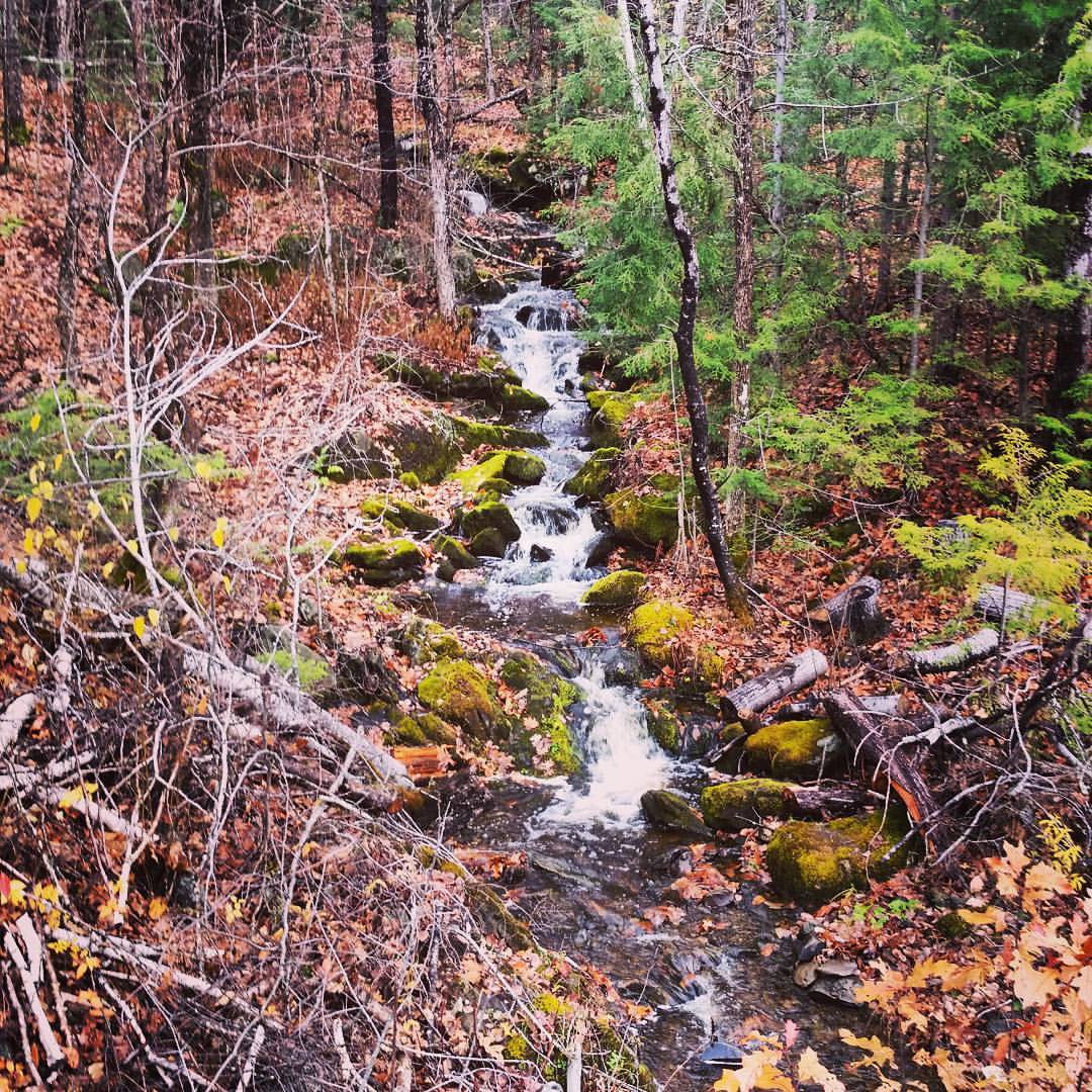
Waterfall, Maliseet Trail, New Brunswick

Waterfall on the Maliseet Trail 4

Waterfall on the Maliseet Trail 2

Maliseet Trail

Waterfall on the Maliseet Trail 3
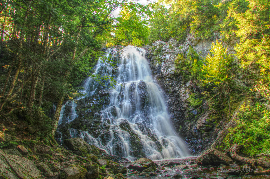
Hays Falls

Maliseet Trail, NB

Saint John River, Woodstock, New Brunswick, Canada.

IMG_2924.CR2

Day 7, Halifax, NS - Kingfield, ME 055
Topographic Map of Richmond, NB, Canada
Find elevation by address:

Places in Richmond, NB, Canada:
Places near Richmond, NB, Canada:
Limestone
E7n 2j8
Mcdougall Road
Kirkland
Green Road
Hodgdon
20 Old Calais Rd
US-1, Hodgdon, ME, USA
Woodstock
Woodstock
Woodstock
Woodstock
Houlton
Houlton
Benton
Benton
Benton
Benton
Benton
Benton
Recent Searches:
- Elevation of Corso Fratelli Cairoli, 35, Macerata MC, Italy
- Elevation of Tallevast Rd, Sarasota, FL, USA
- Elevation of 4th St E, Sonoma, CA, USA
- Elevation of Black Hollow Rd, Pennsdale, PA, USA
- Elevation of Oakland Ave, Williamsport, PA, USA
- Elevation of Pedrógão Grande, Portugal
- Elevation of Klee Dr, Martinsburg, WV, USA
- Elevation of Via Roma, Pieranica CR, Italy
- Elevation of Tavkvetili Mountain, Georgia
- Elevation of Hartfords Bluff Cir, Mt Pleasant, SC, USA