Elevation of Bangor Road, Bangor Rd, Maine, USA
Location: United States > Maine > Aroostook County > Houlton >
Longitude: -67.983715
Latitude: 45.9632822
Elevation: 180m / 591feet
Barometric Pressure: 99KPa
Elevation Map:
Satellite Map:
Related Photos:

Drews Lake Sunrise
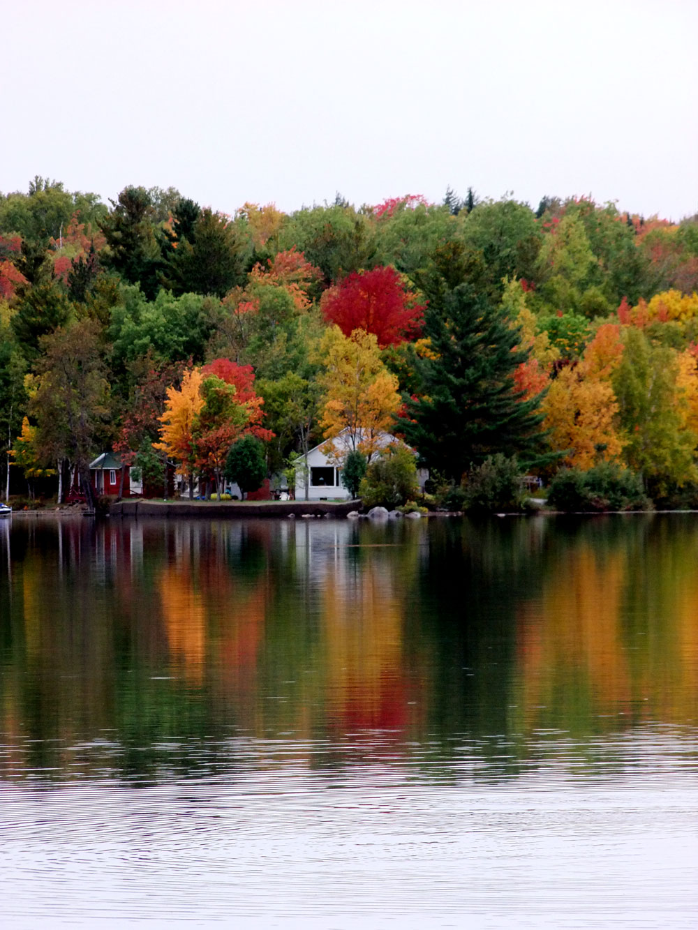
Color, Maine Has Lots Of Shades.

Sunset Boat Ride, Fishing.

linneus hen07
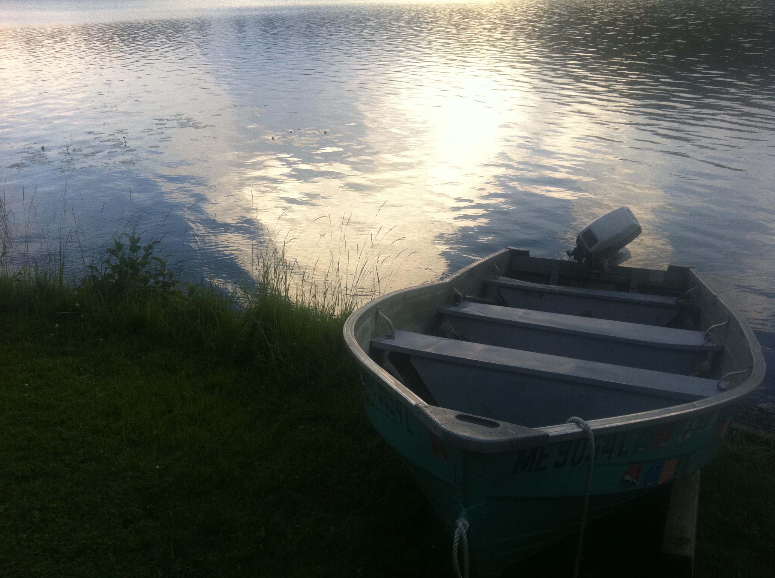
this boat is older than me.

drews lake. new limerick, me.

Cat Tails

Maine..What It Looks Like..
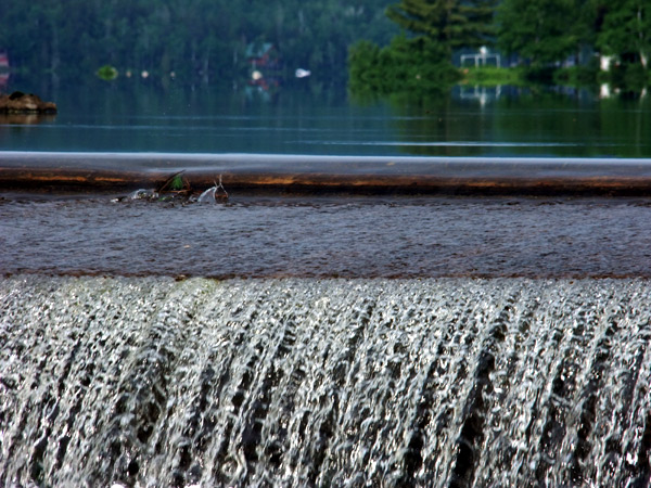
Drews Lake Maine Dam

Beaver Pond (4)
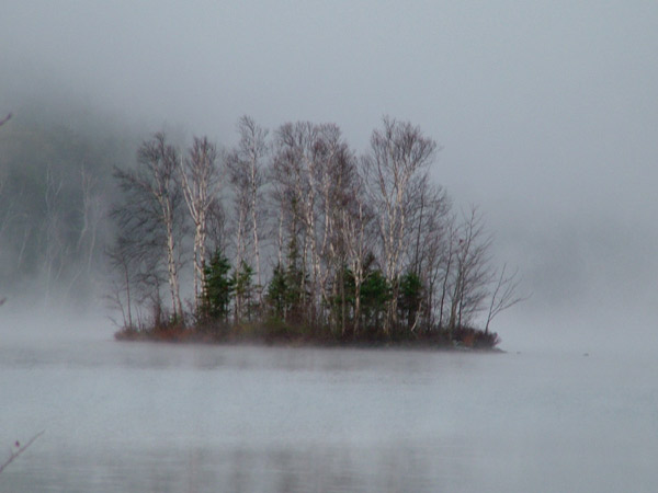
Foggy Waterfront In Maine.
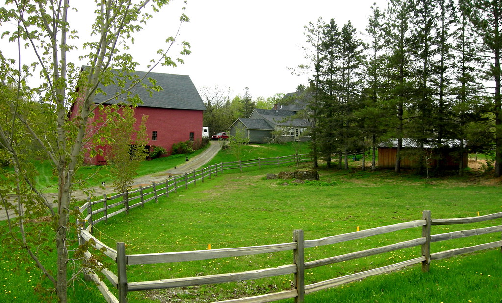
2009 May 18 - A typical New England farm in Hodgdon, Maine

robin 262

robin 255
Willy Wags
Topographic Map of Bangor Road, Bangor Rd, Maine, USA
Find elevation by address:

Places near Bangor Road, Bangor Rd, Maine, USA:
334 S Oakfield Rd
334 S Oakfield Rd
334 S Oakfield Rd
334 S Oakfield Rd
South Oakfield Road
Linneus
1768 Bangor Rd
406 New Limerick Rd
3391 Military Rd
Cary
Hannigan Road
Benn Hill Road
US-1, Hodgdon, ME, USA
New Limerick
Drews Lake Road
Hodgdon
Green Road
1599 Ludlow Rd
1599 Ludlow Rd
Ludlow
Recent Searches:
- Elevation of Corso Fratelli Cairoli, 35, Macerata MC, Italy
- Elevation of Tallevast Rd, Sarasota, FL, USA
- Elevation of 4th St E, Sonoma, CA, USA
- Elevation of Black Hollow Rd, Pennsdale, PA, USA
- Elevation of Oakland Ave, Williamsport, PA, USA
- Elevation of Pedrógão Grande, Portugal
- Elevation of Klee Dr, Martinsburg, WV, USA
- Elevation of Via Roma, Pieranica CR, Italy
- Elevation of Tavkvetili Mountain, Georgia
- Elevation of Hartfords Bluff Cir, Mt Pleasant, SC, USA