Elevation of Umreth, Madhya Pradesh, India
Location: India > Madhya Pradesh > Chhindwara >
Longitude: 78.7121905
Latitude: 22.1268086
Elevation: 828m / 2717feet
Barometric Pressure: 92KPa
Elevation Map:
Satellite Map:
Related Photos:

Parasia

Jamai

Lions Eye Hopital Got Hightech machinery's
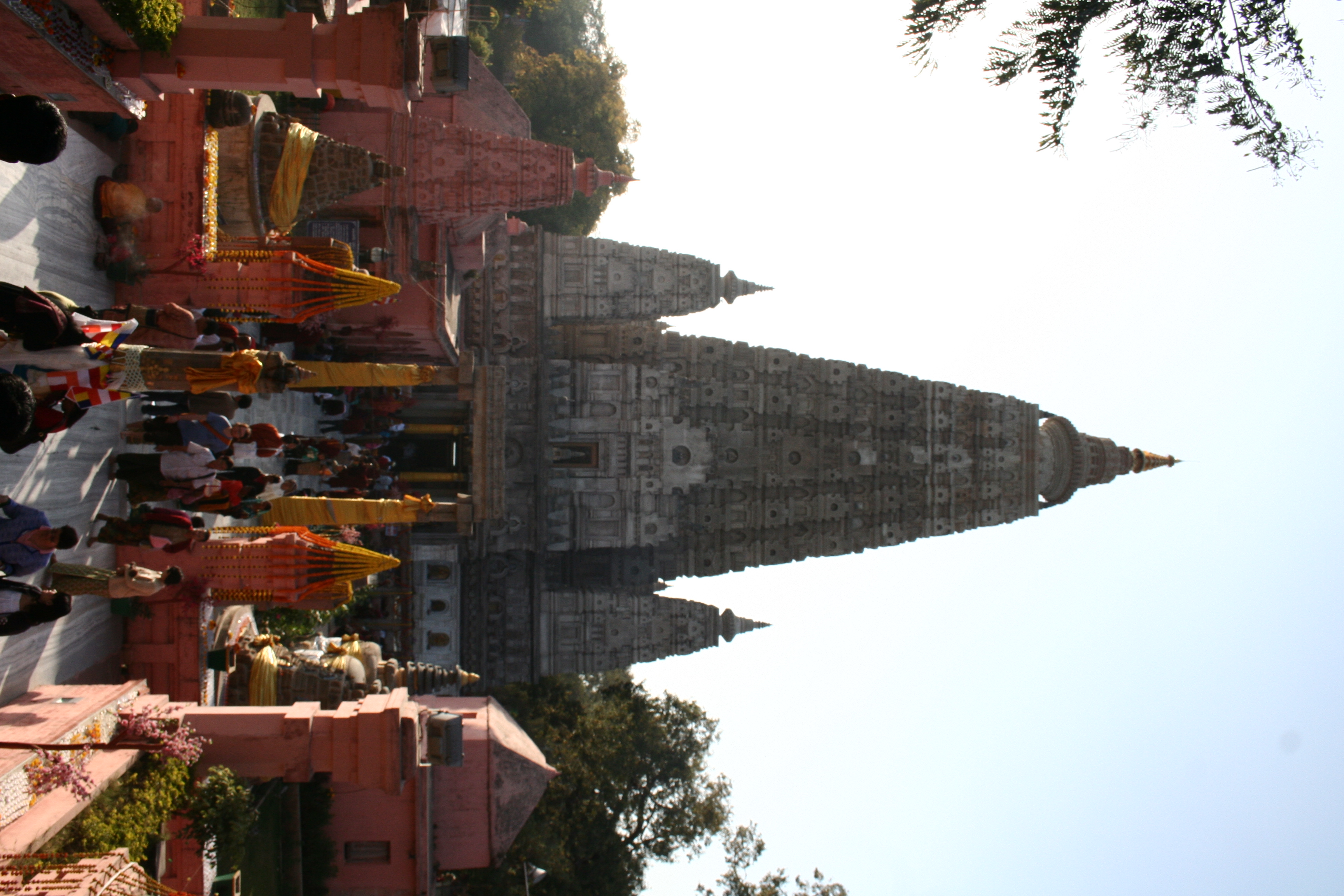
Templo Budista
Topographic Map of Umreth, Madhya Pradesh, India
Find elevation by address:

Places near Umreth, Madhya Pradesh, India:
Junnardeo
Tamiya Bypass Road
Garadei
Tamia
Delakhari
Pachmarhi
Chichanda
Teegaon Railway Station
Chichonda
Pandhurna
Multai
Amla
Sawari
Ghoradongri
Sihari
Dharakhoh
Betul
Maramjhiri
Betul
Chicholi
Recent Searches:
- Elevation of Corso Fratelli Cairoli, 35, Macerata MC, Italy
- Elevation of Tallevast Rd, Sarasota, FL, USA
- Elevation of 4th St E, Sonoma, CA, USA
- Elevation of Black Hollow Rd, Pennsdale, PA, USA
- Elevation of Oakland Ave, Williamsport, PA, USA
- Elevation of Pedrógão Grande, Portugal
- Elevation of Klee Dr, Martinsburg, WV, USA
- Elevation of Via Roma, Pieranica CR, Italy
- Elevation of Tavkvetili Mountain, Georgia
- Elevation of Hartfords Bluff Cir, Mt Pleasant, SC, USA