Elevation of Pachmarhi, Madhya Pradesh, India
Location: India > Madhya Pradesh > Hoshangabad >
Longitude: 78.4345854
Latitude: 22.4674463
Elevation: 1066m / 3497feet
Barometric Pressure: 89KPa
Elevation Map:
Satellite Map:
Related Photos:

Pandav Caves
A View from Pandav Caves
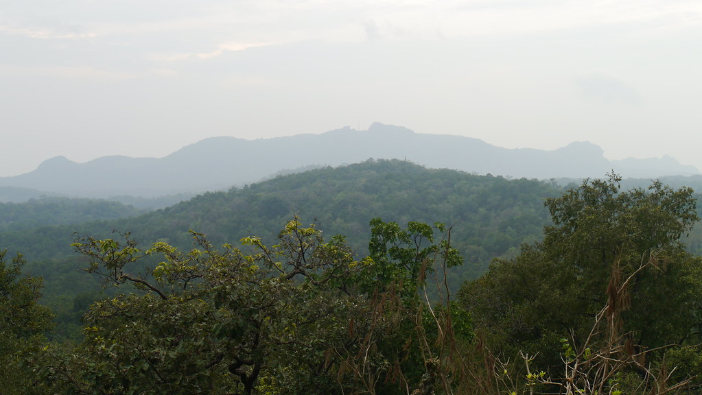
... view from Rajendra Giri
... view from Rajendra Giri

... view from Rajendra Giri

... view from top of Bee Falls
... view from Priyadarshini Point (Forsyth Point)

... view from Priyadarshini Point (Forsyth Point)

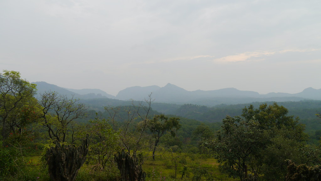
Landscape @ Rajendra Giri
... near Bee Falls
... near Bee Falls

Euphorbia caducifolia
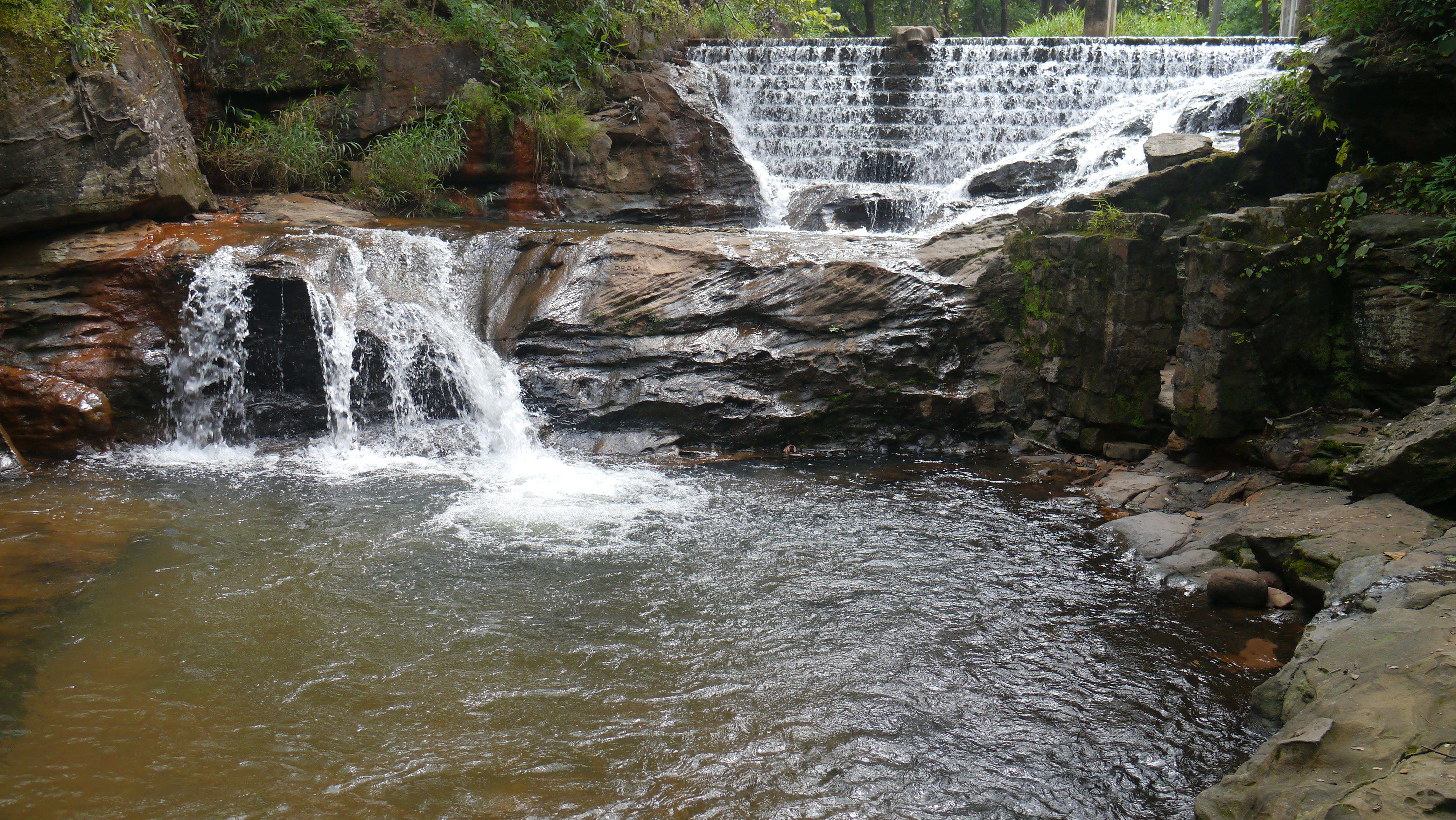
Duchess Fall - Panchmadhi
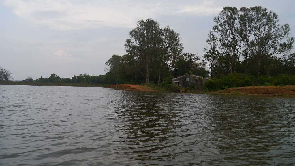
Pachmarhi Zheel

Flemingia semialata
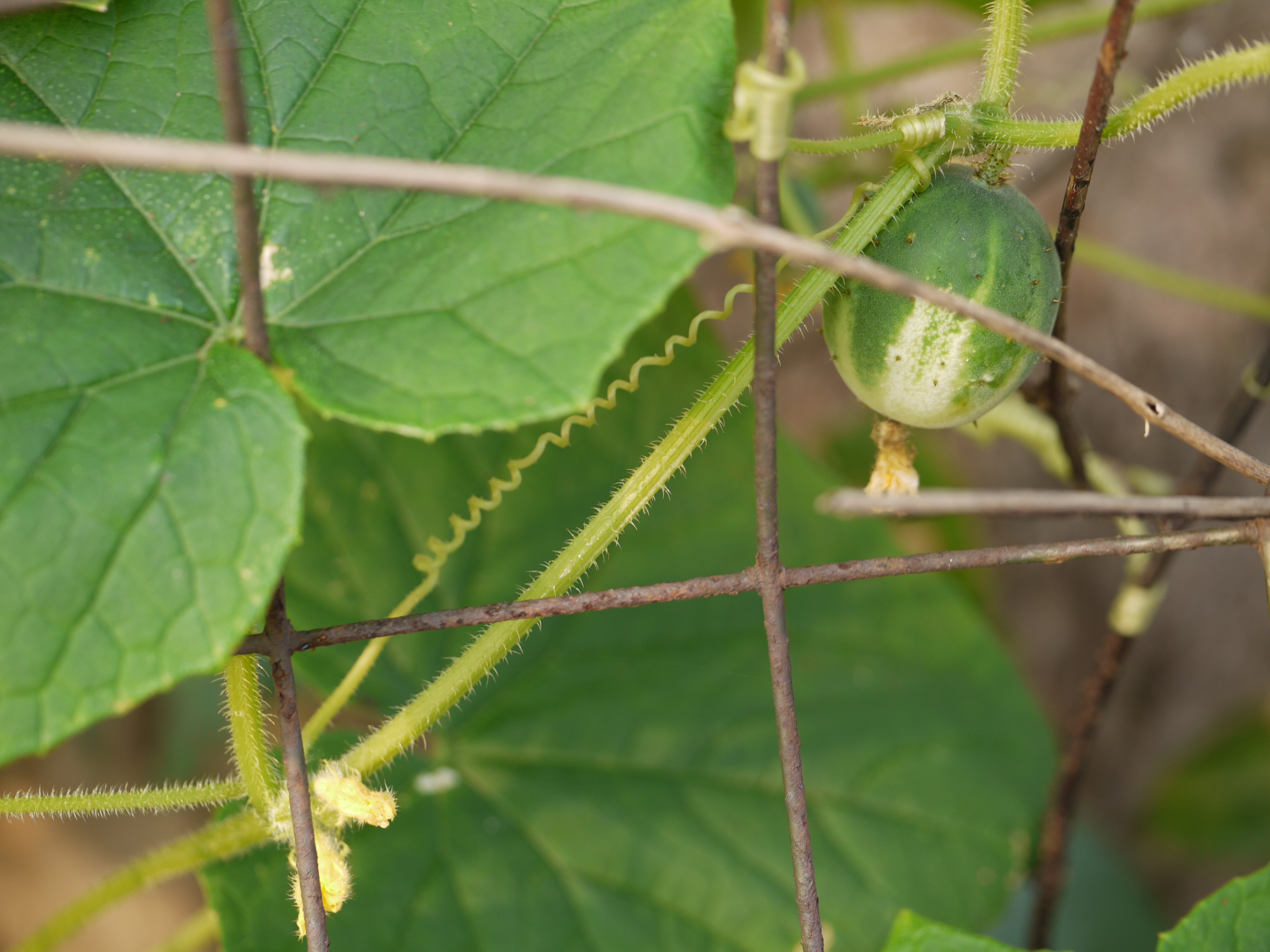
Cucumis sativus var. hardwickii (Royle) Alef.
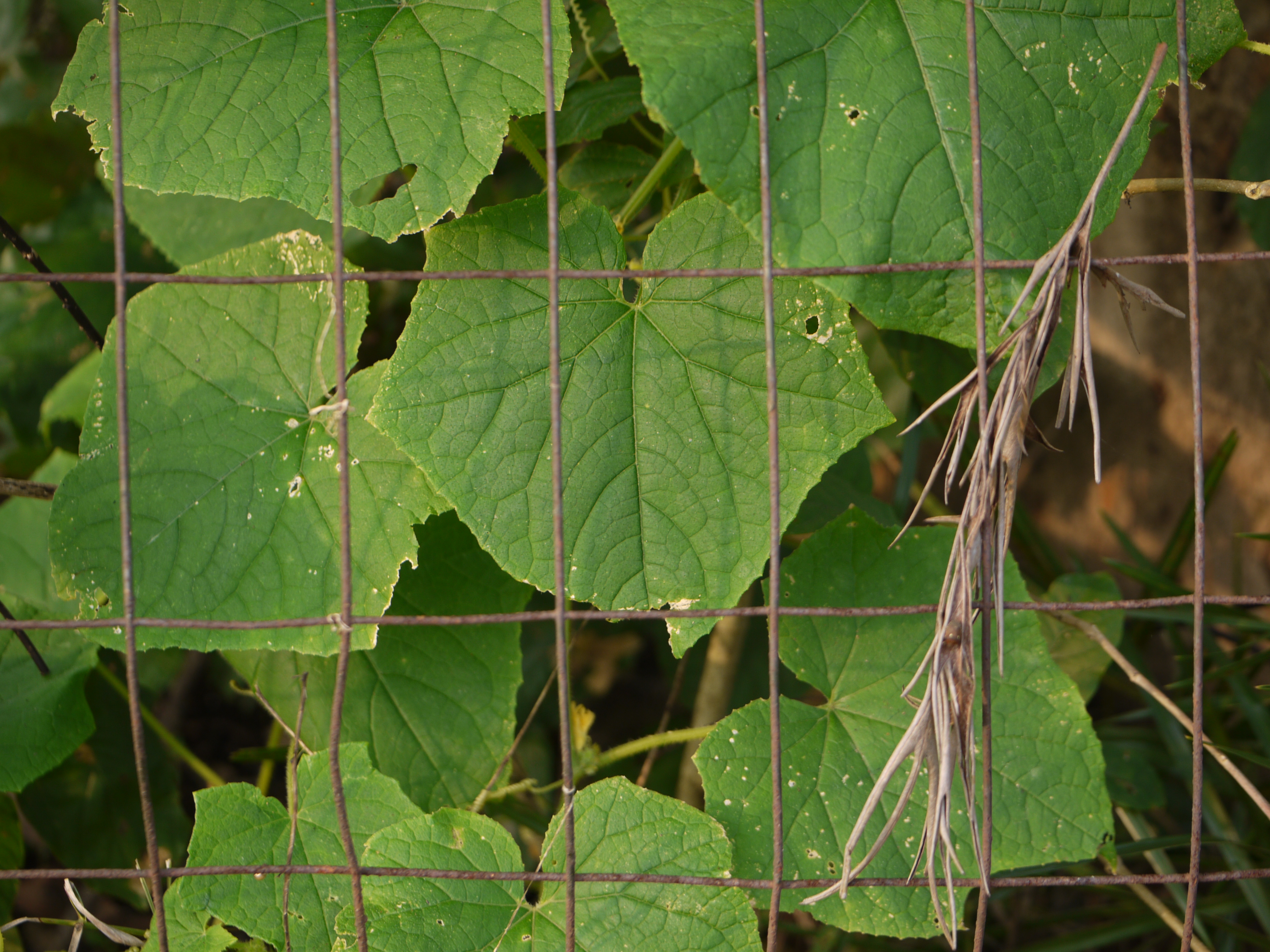
Cucumis sativus var. hardwickii (Royle) Alef.
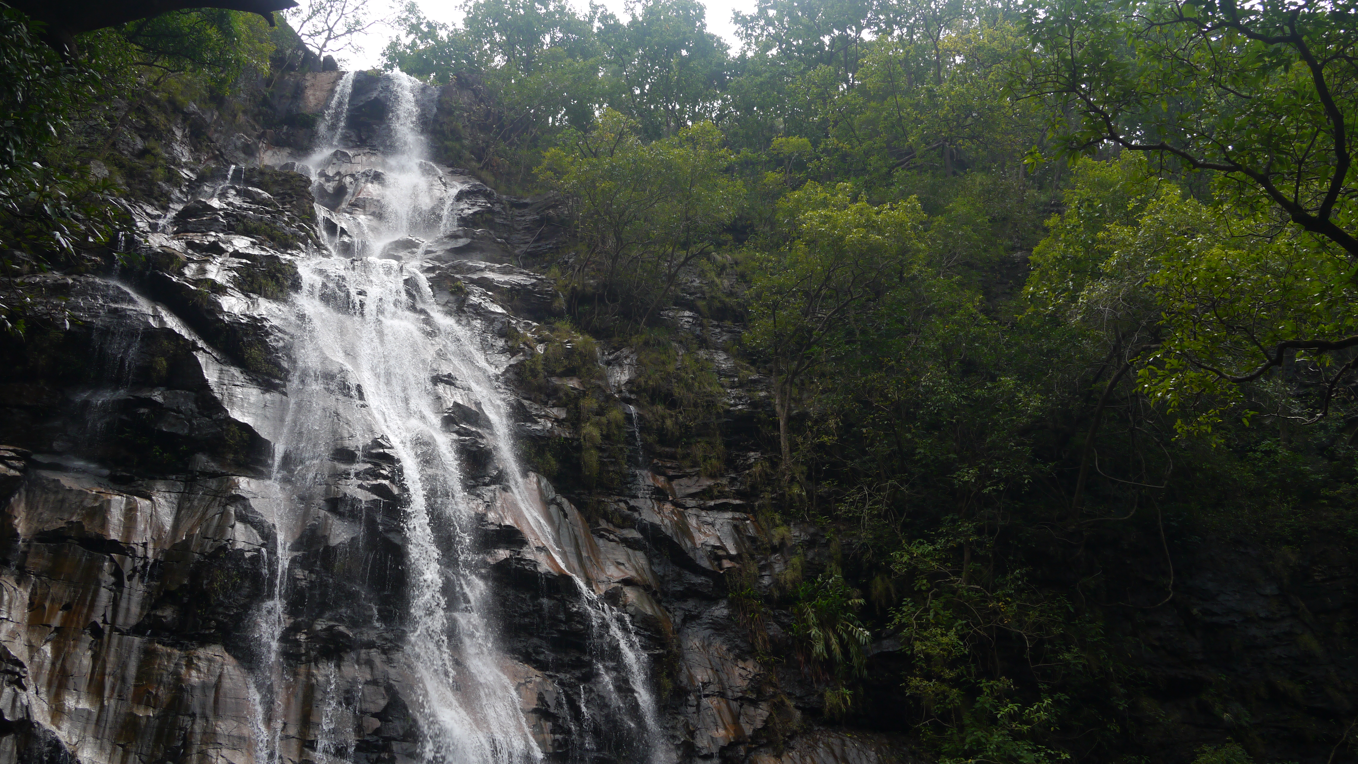
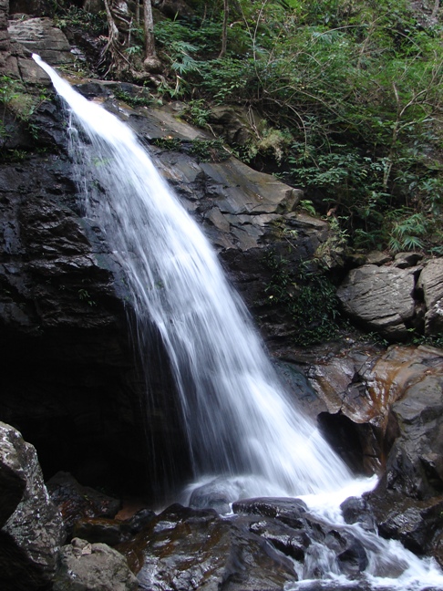
Bee Falls

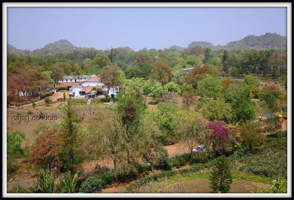
Near Pachmarhi, Madhya Pradesh, India
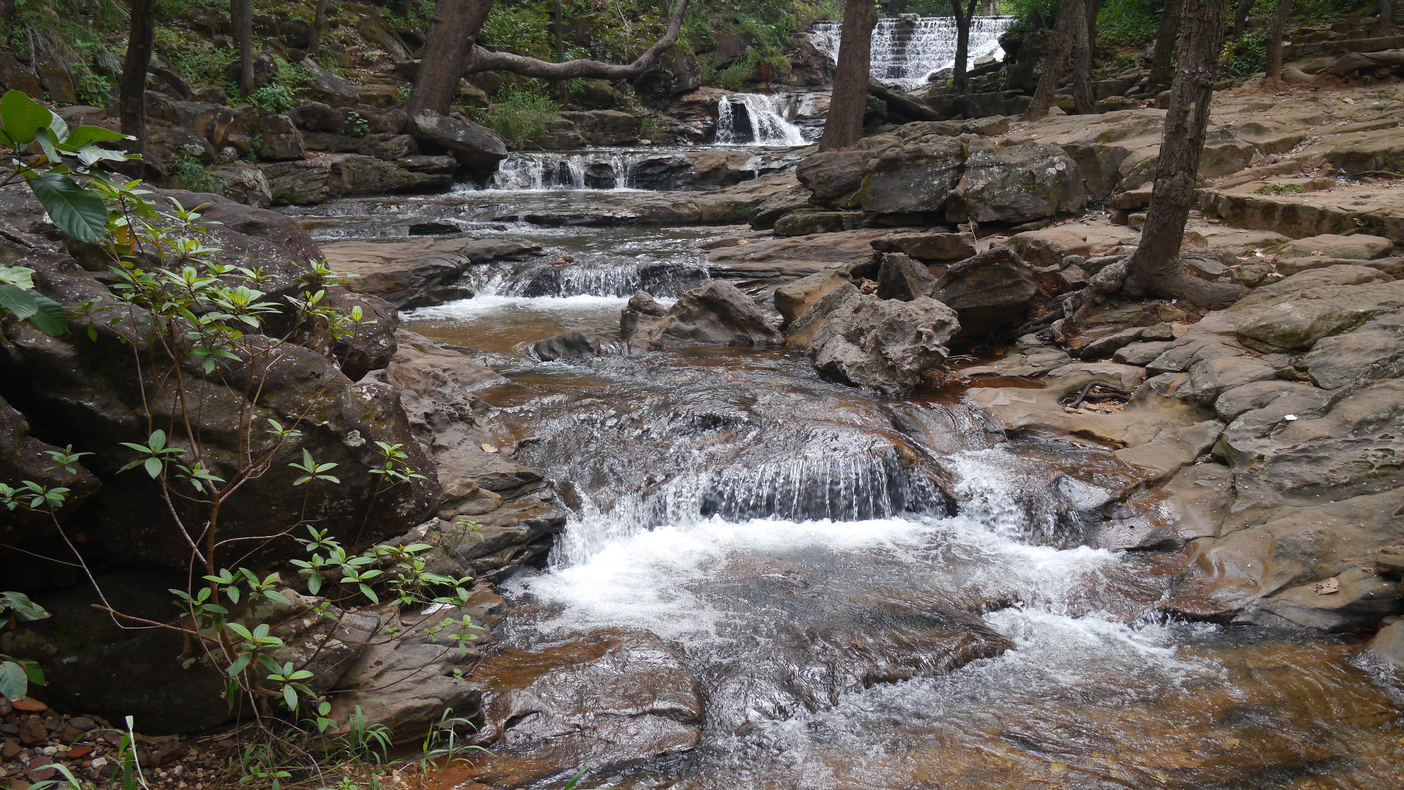
... dense forests of Pachmarhi
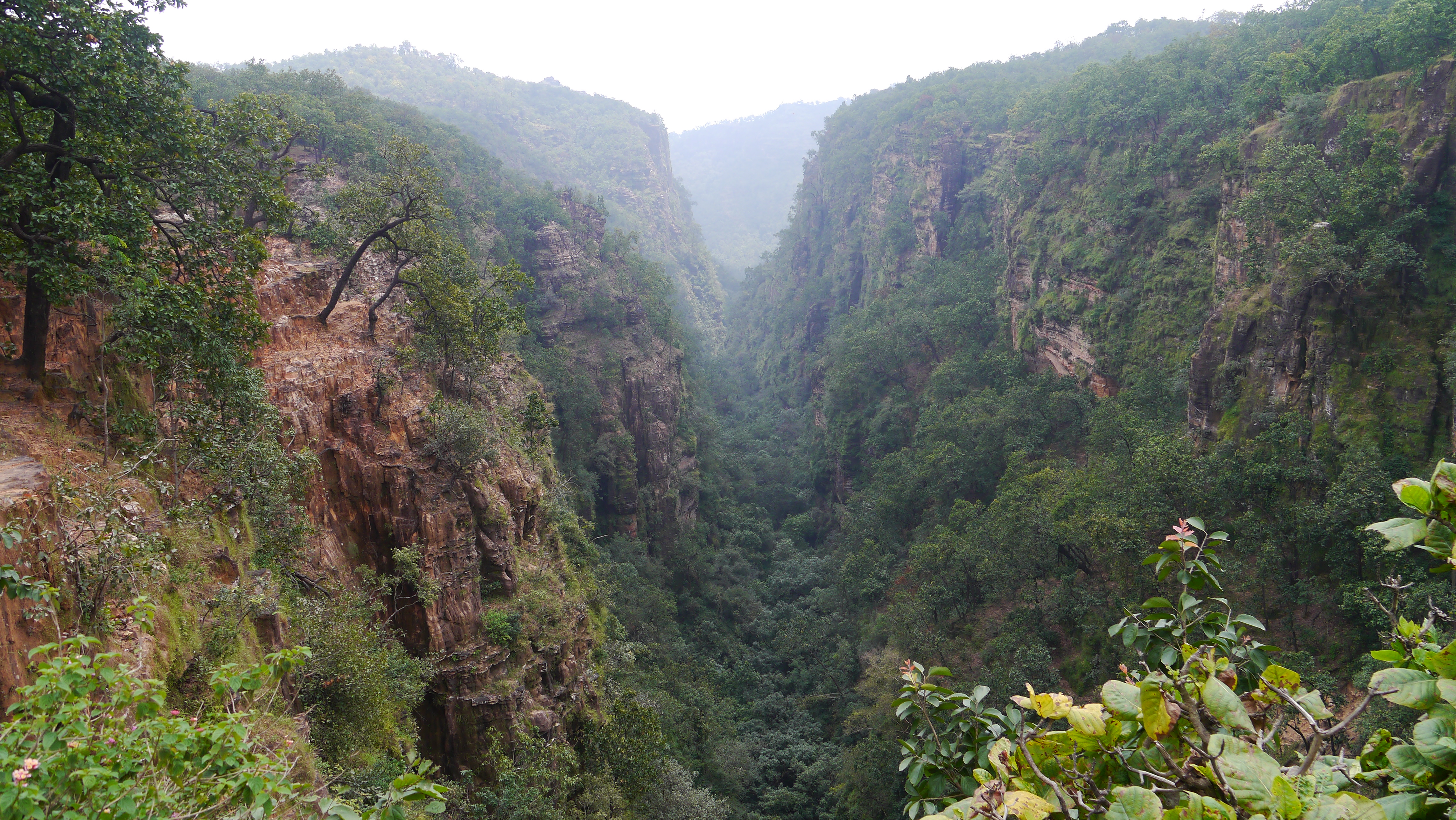
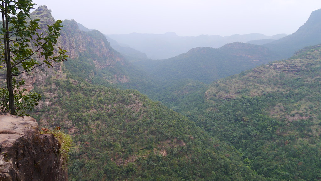
... Handi Khoh
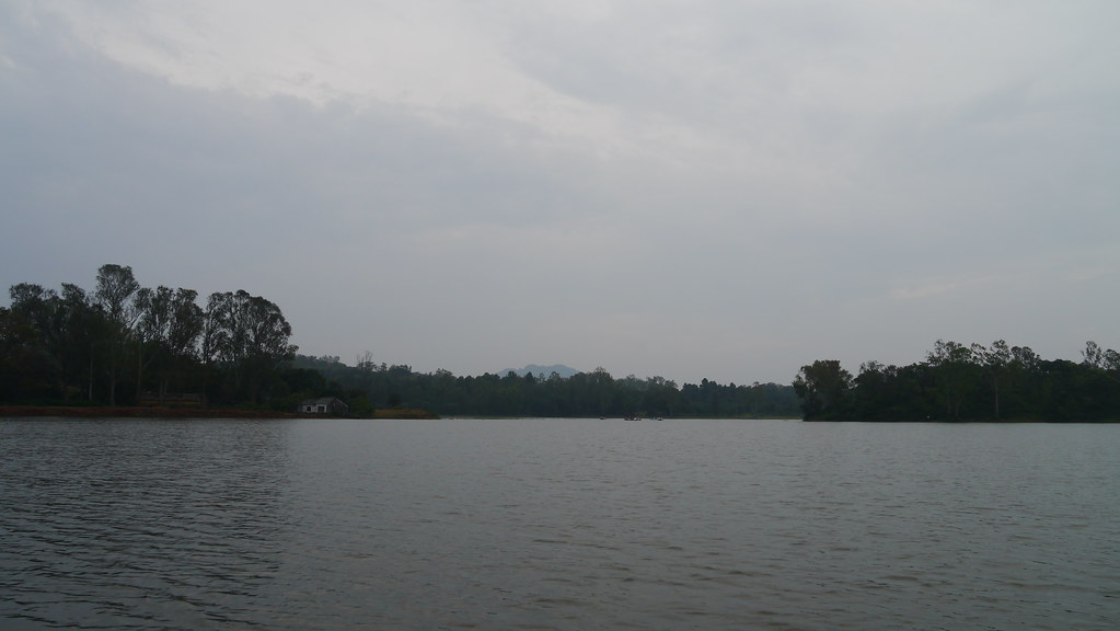
Pachmarhi Zheel

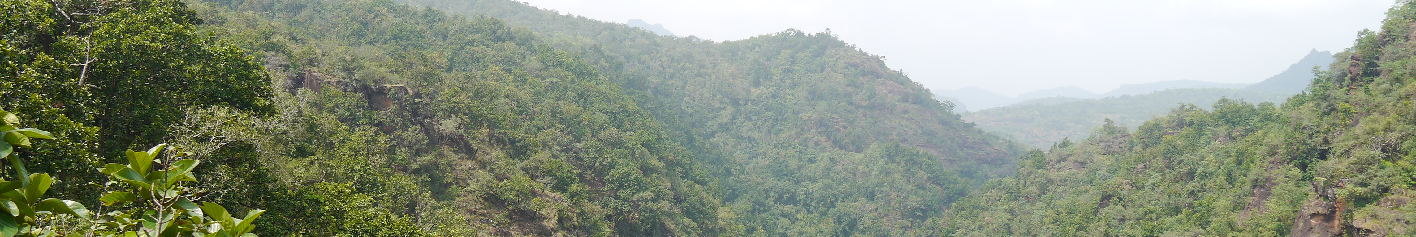
Mountain Range © Bipul Keshri

Mountain Range © Bipul Keshri
Topographic Map of Pachmarhi, Madhya Pradesh, India
Find elevation by address:

Places near Pachmarhi, Madhya Pradesh, India:
Delakhari
Tamia
Garadei
Tamiya Bypass Road
Junnardeo
Umreth
Ghoradongri
Amla
Sihari
Dharakhoh
Multai
Chichanda
Maramjhiri
Chichonda
Betul
Teegaon Railway Station
Betul
Sawari
Pandhurna
Chicholi
Recent Searches:
- Elevation of Corso Fratelli Cairoli, 35, Macerata MC, Italy
- Elevation of Tallevast Rd, Sarasota, FL, USA
- Elevation of 4th St E, Sonoma, CA, USA
- Elevation of Black Hollow Rd, Pennsdale, PA, USA
- Elevation of Oakland Ave, Williamsport, PA, USA
- Elevation of Pedrógão Grande, Portugal
- Elevation of Klee Dr, Martinsburg, WV, USA
- Elevation of Via Roma, Pieranica CR, Italy
- Elevation of Tavkvetili Mountain, Georgia
- Elevation of Hartfords Bluff Cir, Mt Pleasant, SC, USA