Elevation of Amla, Madhya Pradesh, India
Location: India > Madhya Pradesh > Betul >
Longitude: 78.130787
Latitude: 21.9282789
Elevation: 729m / 2392feet
Barometric Pressure: 93KPa
Elevation Map:
Satellite Map:
Related Photos:
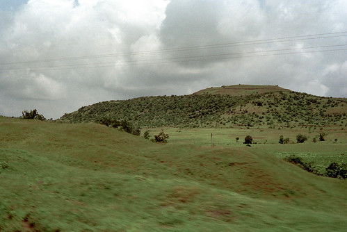
view of ram tekdi hill at amla from train_b
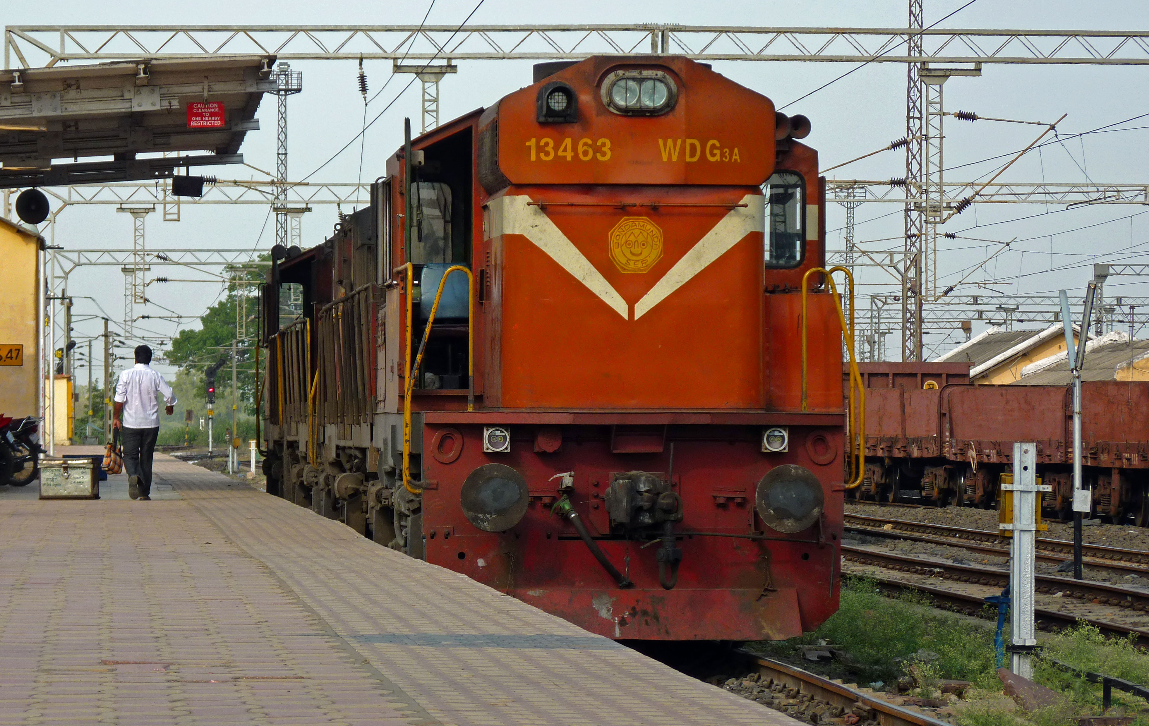
BNDM twins at Amla!!
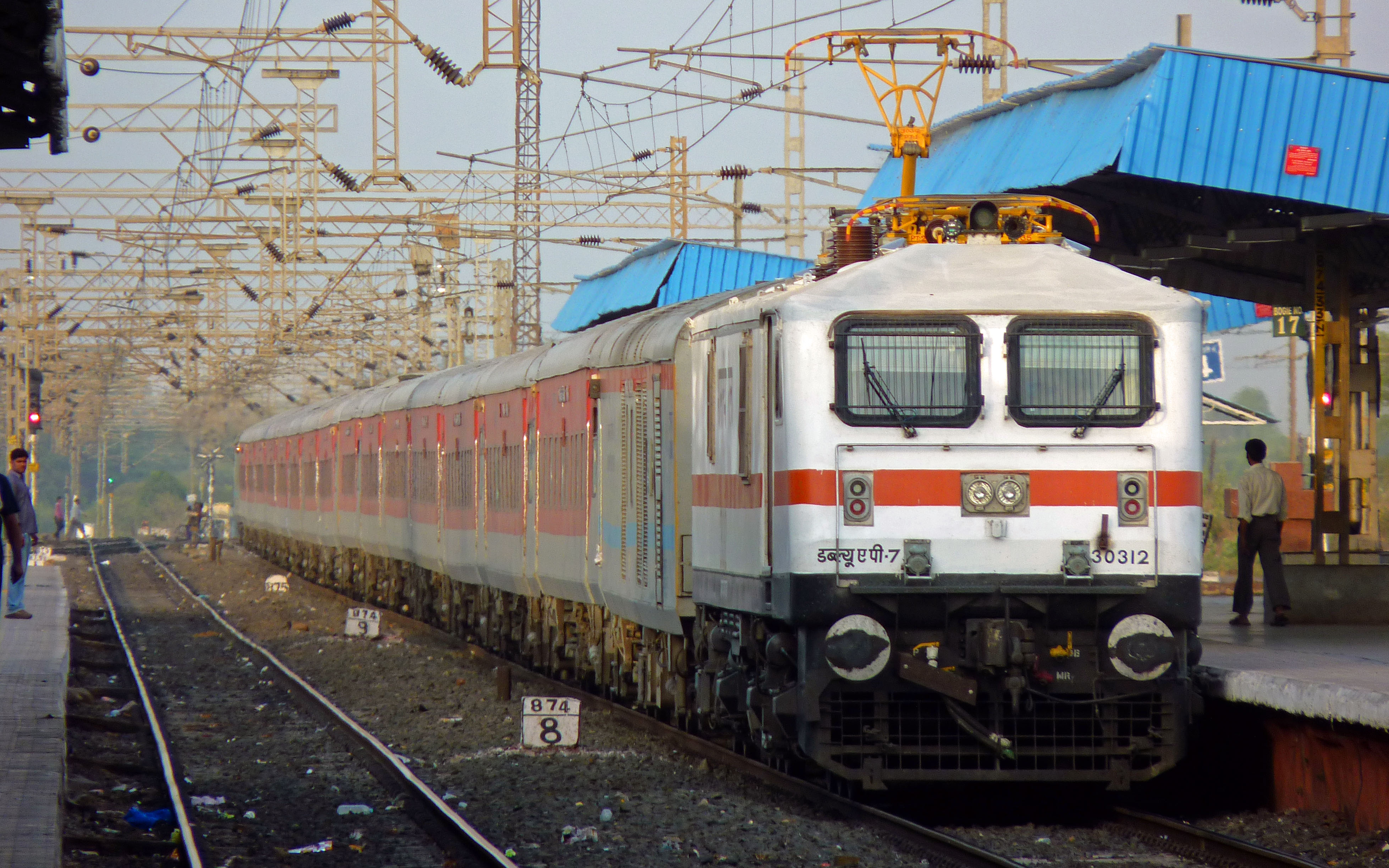
Brand new loco and rake!!
Topographic Map of Amla, Madhya Pradesh, India
Find elevation by address:

Places near Amla, Madhya Pradesh, India:
Dharakhoh
Multai
Sihari
Betul
Ghoradongri
Maramjhiri
Chichonda
Chichanda
Sawari
Betul
Teegaon Railway Station
Chicholi
Pandhurna
Junnardeo
Tamiya Bypass Road
Garadei
Umreth
Pachmarhi
Tamia
Delakhari
Recent Searches:
- Elevation of Corso Fratelli Cairoli, 35, Macerata MC, Italy
- Elevation of Tallevast Rd, Sarasota, FL, USA
- Elevation of 4th St E, Sonoma, CA, USA
- Elevation of Black Hollow Rd, Pennsdale, PA, USA
- Elevation of Oakland Ave, Williamsport, PA, USA
- Elevation of Pedrógão Grande, Portugal
- Elevation of Klee Dr, Martinsburg, WV, USA
- Elevation of Via Roma, Pieranica CR, Italy
- Elevation of Tavkvetili Mountain, Georgia
- Elevation of Hartfords Bluff Cir, Mt Pleasant, SC, USA