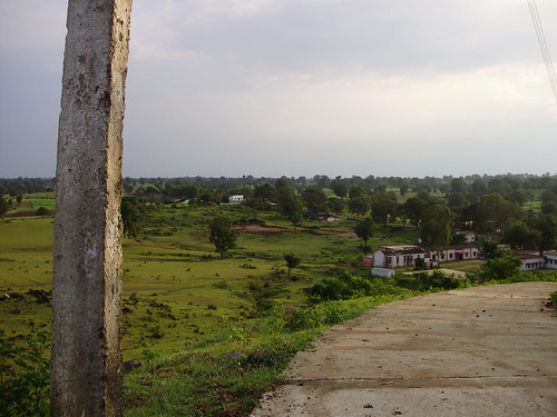
Elevation of Sihari, Madhya Pradesh, India
Location: India > Madhya Pradesh > Betul >
Longitude: 77.9567324
Latitude: 22.0240417
Elevation: 494m / 1621feet
Barometric Pressure: 96KPa
Related Photos:
Topographic Map of Sihari, Madhya Pradesh, India
Find elevation by address:

Places near Sihari, Madhya Pradesh, India:
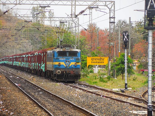
Dharakhoh
Maramjhiri
Ghoradongri
Betul
Amla
Betul
Chicholi
Multai
Chichonda
Chichanda
Sawari
Teegaon Railway Station
87, MPSH 15, Seoni Malwa, Madhya Pradesh, India
Seoni Malwa
Pachmarhi
Garadei
Tamiya Bypass Road
Junnardeo
Pandhurna
Umreth
Recent Searches:
- Elevation of Corso Fratelli Cairoli, 35, Macerata MC, Italy
- Elevation of Tallevast Rd, Sarasota, FL, USA
- Elevation of 4th St E, Sonoma, CA, USA
- Elevation of Black Hollow Rd, Pennsdale, PA, USA
- Elevation of Oakland Ave, Williamsport, PA, USA
- Elevation of Pedrógão Grande, Portugal
- Elevation of Klee Dr, Martinsburg, WV, USA
- Elevation of Via Roma, Pieranica CR, Italy
- Elevation of Tavkvetili Mountain, Georgia
- Elevation of Hartfords Bluff Cir, Mt Pleasant, SC, USA
