Elevation of U.S. Highway 26, US-26, Blackfoot, ID, USA
Location: United States > Idaho > Blackfoot >
Longitude: -112.62039
Latitude: 43.3482465
Elevation: 1473m / 4833feet
Barometric Pressure: 85KPa
Elevation Map:
Satellite Map:
Related Photos:
Middle Butte
I Thirst

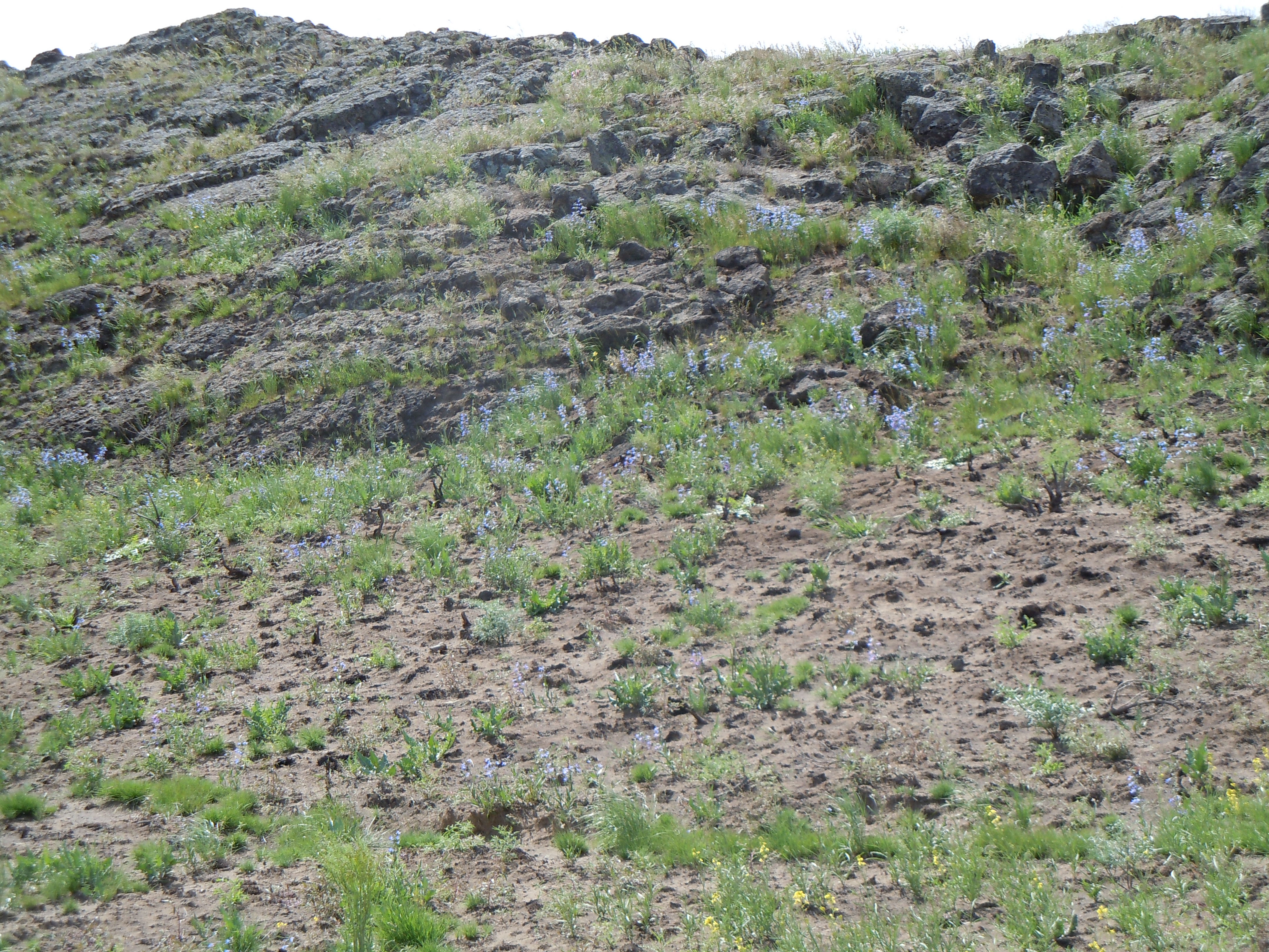
Looking east from the Snake River Plain toward the distant Blackfoot mountain range
near Atomic City panorama
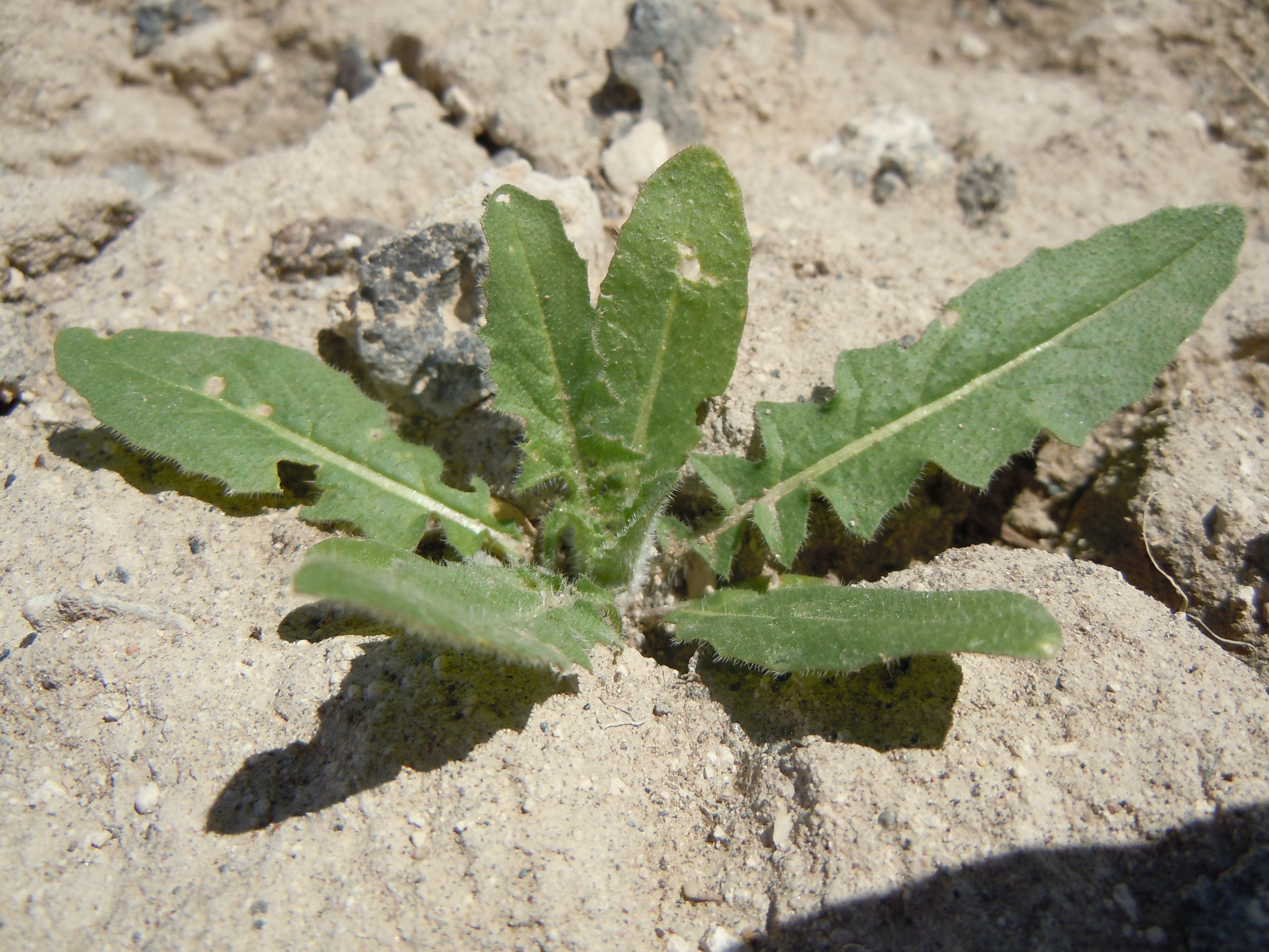
Monolepis nuttalliana
Sisymbrium altissimum
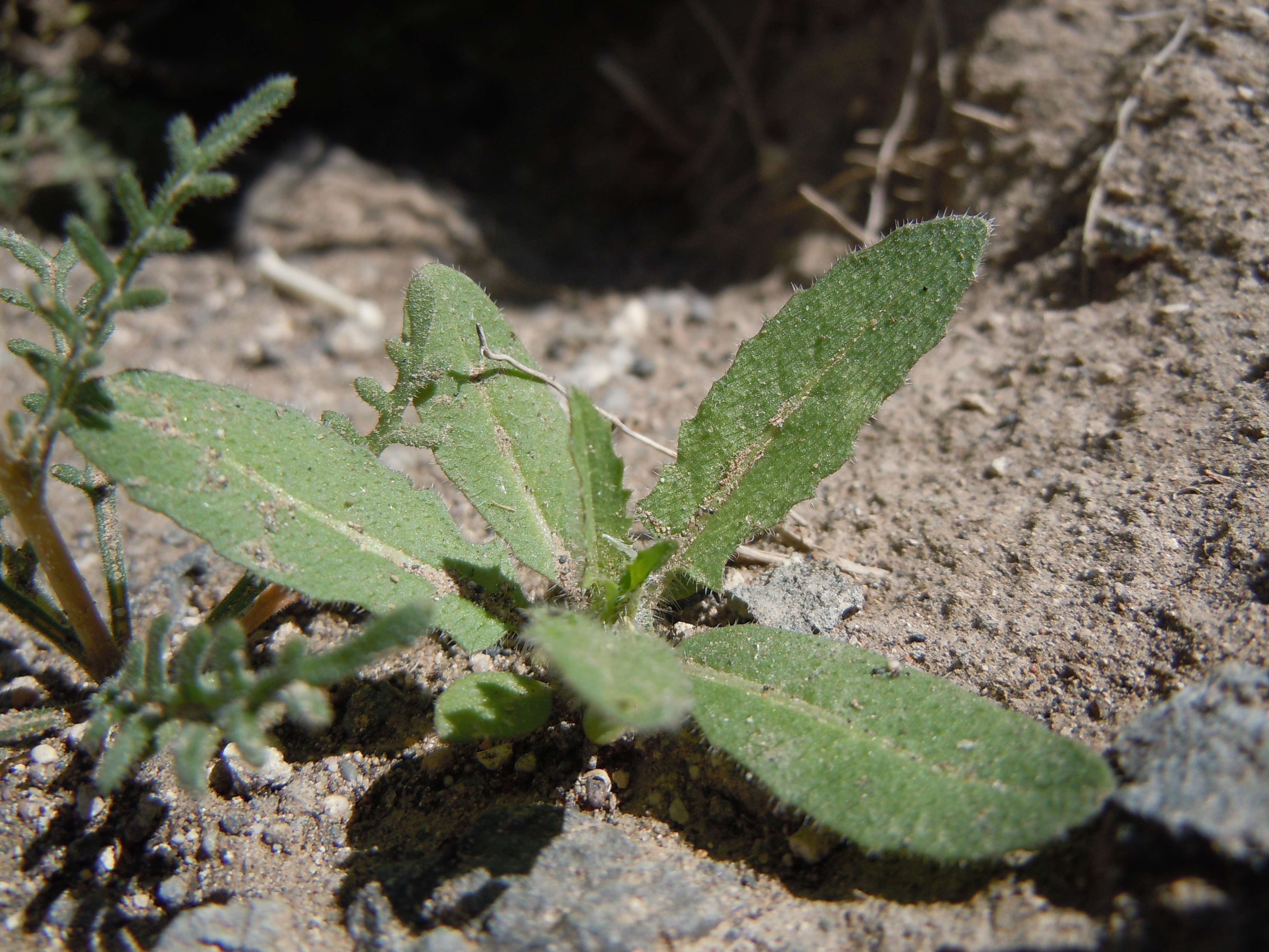
Sisymbrium altissimum
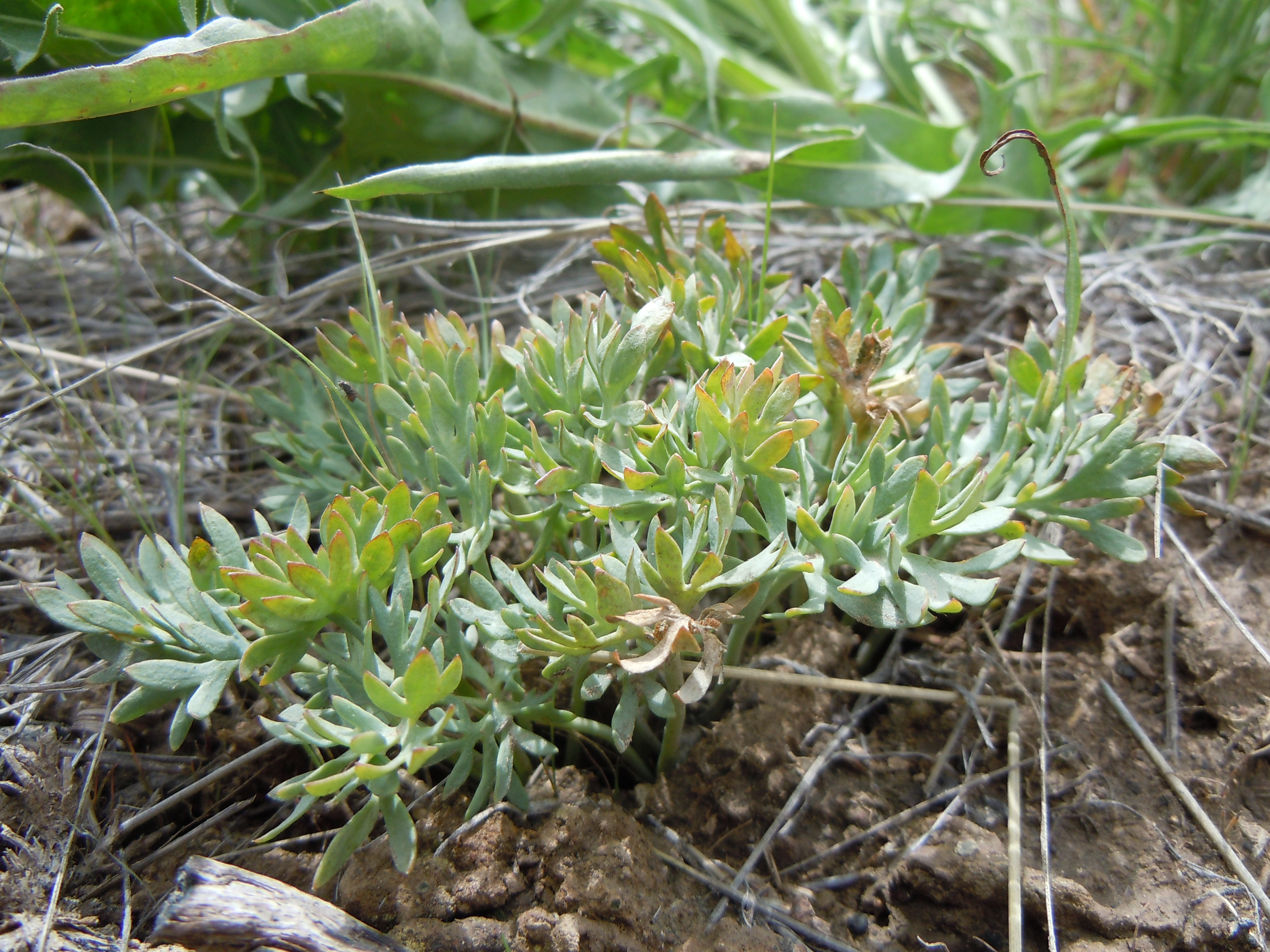
Penstemon radicosus
Viola beckwithii
Topographic Map of U.S. Highway 26, US-26, Blackfoot, ID, USA
Find elevation by address:

Places near U.S. Highway 26, US-26, Blackfoot, ID, USA:
Taber Rd, Blackfoot, ID, USA
1296 Us-26
273 Sunset Rd
ID-39, Blackfoot, ID, USA
S W, Pingree, ID, USA
W S, Blackfoot, ID, USA
Pingree
W S, Springfield, ID, USA
Springfield
U.s. Highway 26
Sterling
W S, Sterling, ID, USA
S W, Aberdeen, ID, USA
Aberdeen
Power County
Butte City, ID, USA
S Main St, Rockland, ID, USA
Rockland
Craters Of The Moon National Monument & Preserve
Heglar Canyon Rd, Idaho, USA
Recent Searches:
- Elevation of Corso Fratelli Cairoli, 35, Macerata MC, Italy
- Elevation of Tallevast Rd, Sarasota, FL, USA
- Elevation of 4th St E, Sonoma, CA, USA
- Elevation of Black Hollow Rd, Pennsdale, PA, USA
- Elevation of Oakland Ave, Williamsport, PA, USA
- Elevation of Pedrógão Grande, Portugal
- Elevation of Klee Dr, Martinsburg, WV, USA
- Elevation of Via Roma, Pieranica CR, Italy
- Elevation of Tavkvetili Mountain, Georgia
- Elevation of Hartfords Bluff Cir, Mt Pleasant, SC, USA