Elevation of Sunset Rd, Blackfoot, ID, USA
Location: United States > Idaho > Blackfoot >
Longitude: -112.51321
Latitude: 43.2374876
Elevation: 1368m / 4488feet
Barometric Pressure: 86KPa
Elevation Map:
Satellite Map:
Related Photos:

Air Fair

Fairly High

Blackfoot, Id 033

Kennedy Miller

Tyler Mikesell

She Plays In The Grass
On the Snake River Plain. A view to the east (vicinity of Blackfoot in far distance)
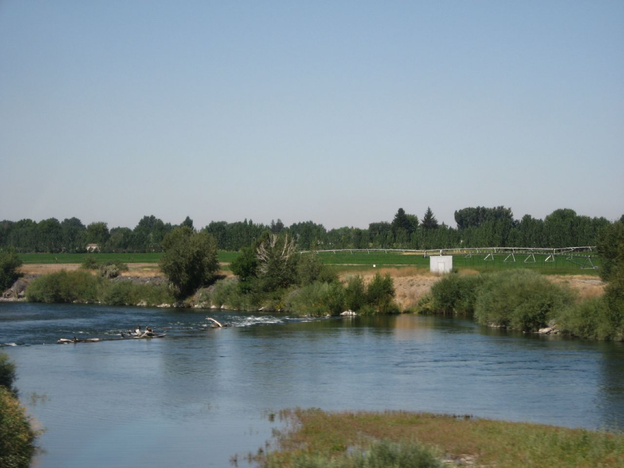
Snake River, Interstate 15 Near Blackfoot, Idaho

013 Cemetary Blackfoot, ID
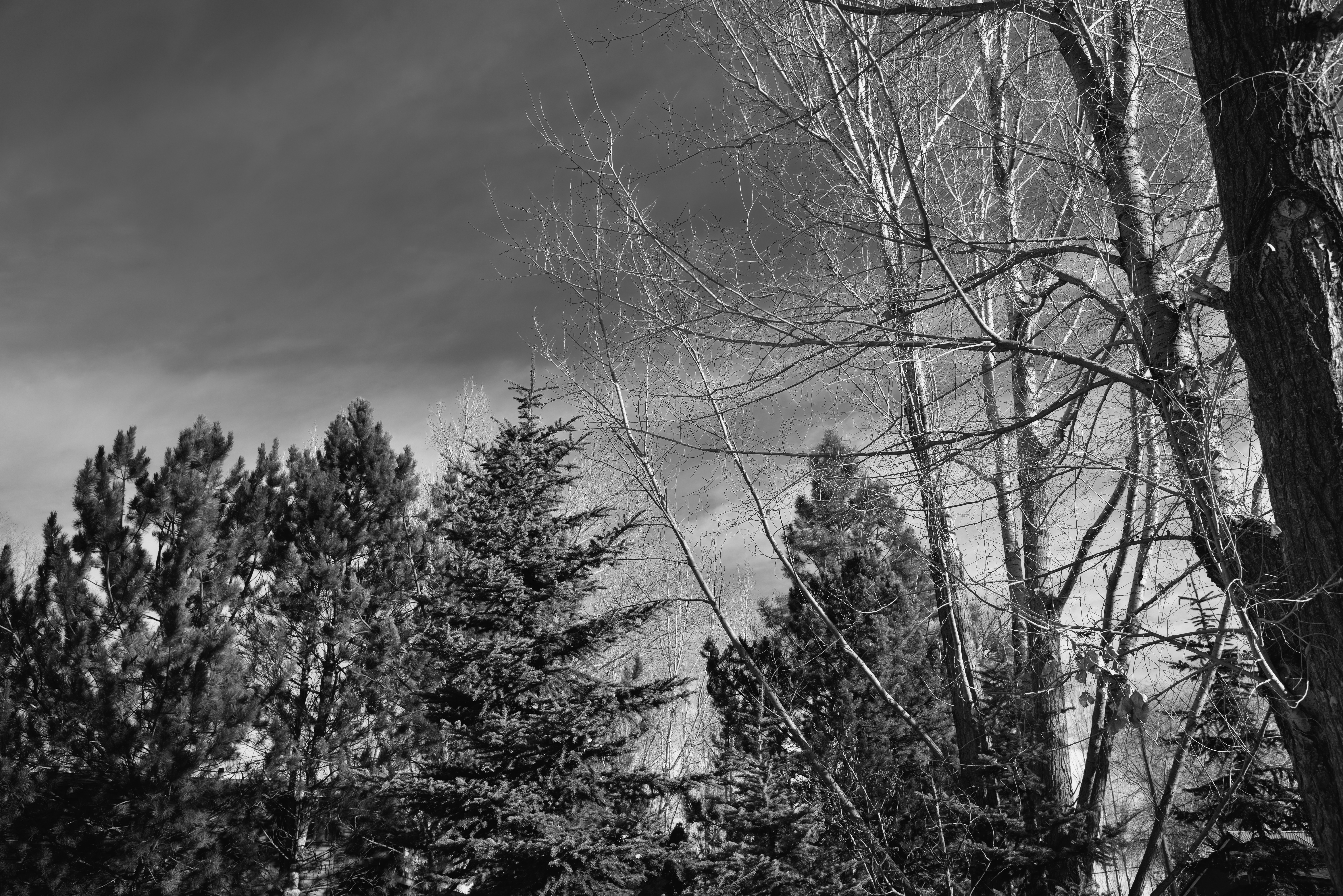
Looking up to Blue Skies and Cloud Wisps in the Idaho Skies (Black & White)
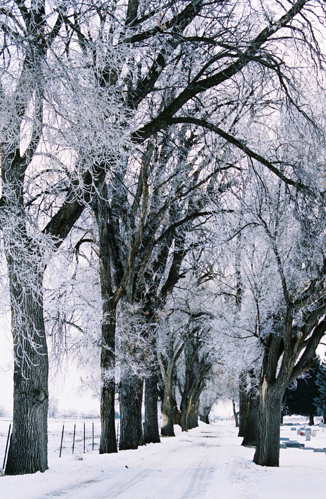
022 Frosty Lane Blackfoot, ID USA

Tribal Climate Change Adaptation Workshop

Stuffed 38
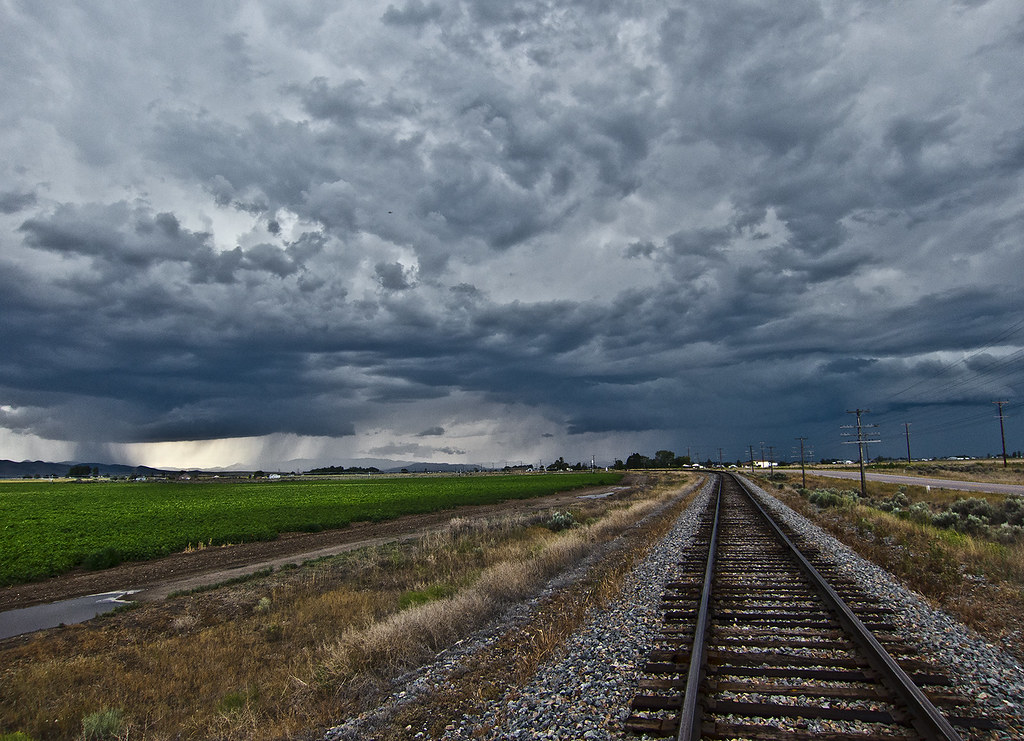
Abandoned tracks leading into the storm
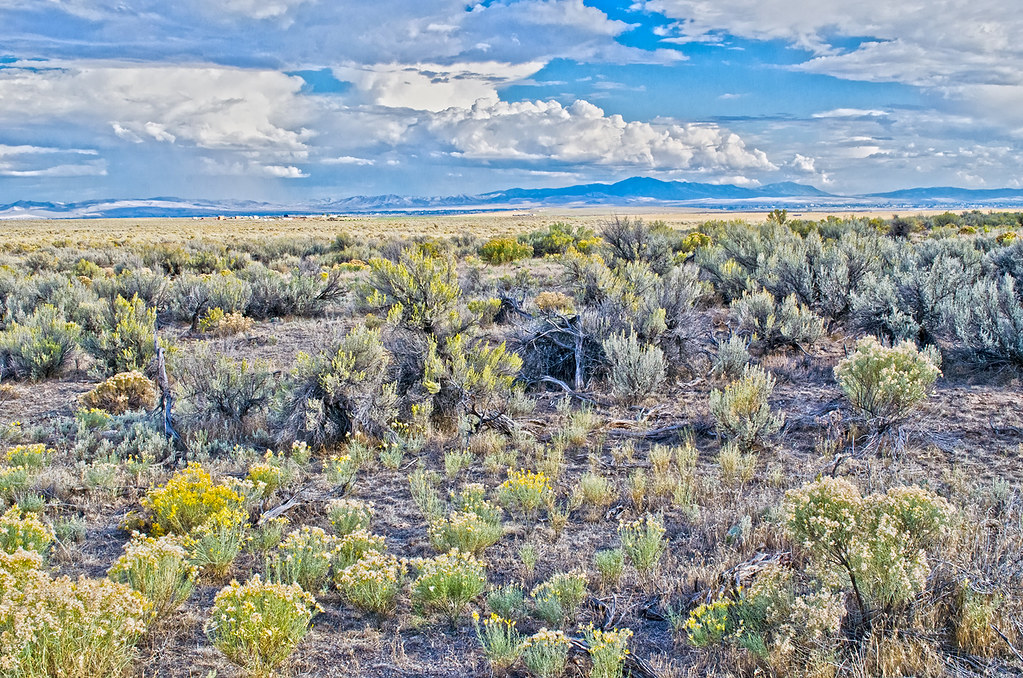
Looking east from the Snake River Plain toward the distant Blackfoot mountain range. September
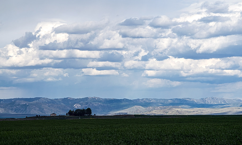
Farm field and mountains near Blackfoot, Idaho
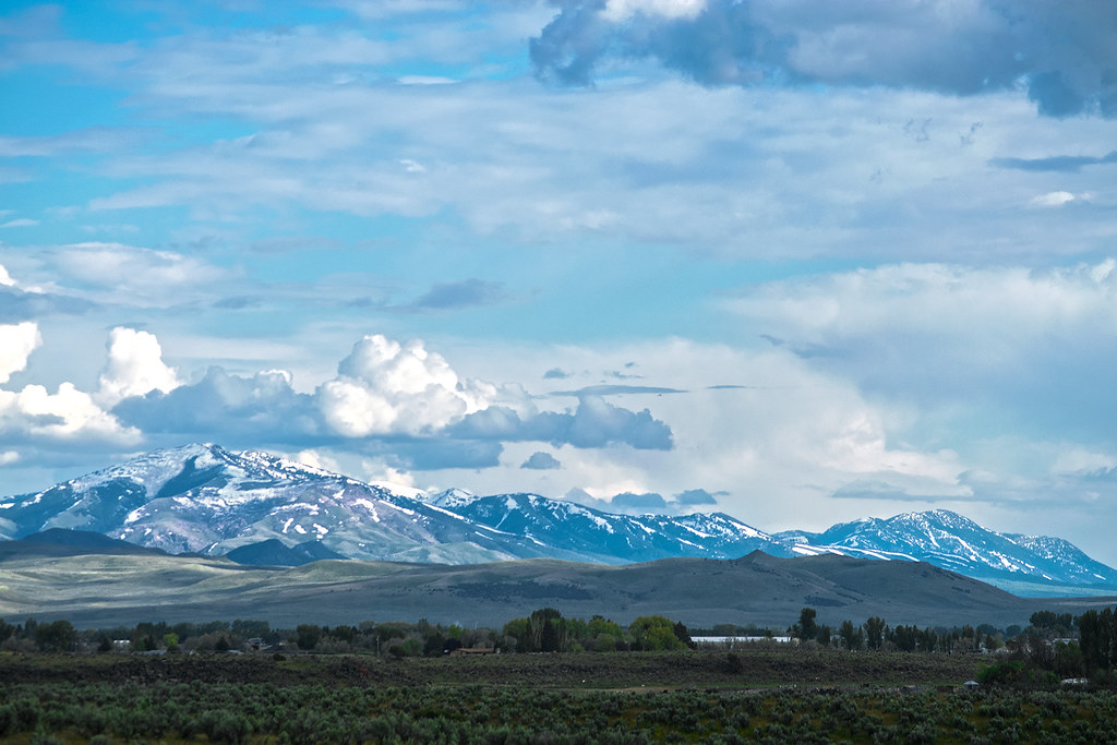
The Portneuf Range (telephoto) in late May 2017
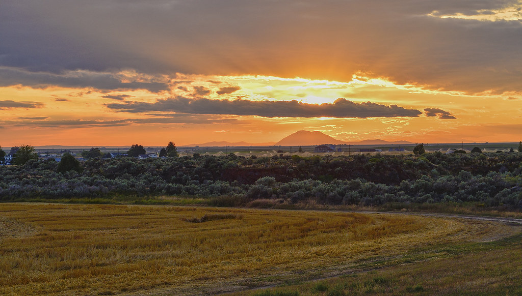
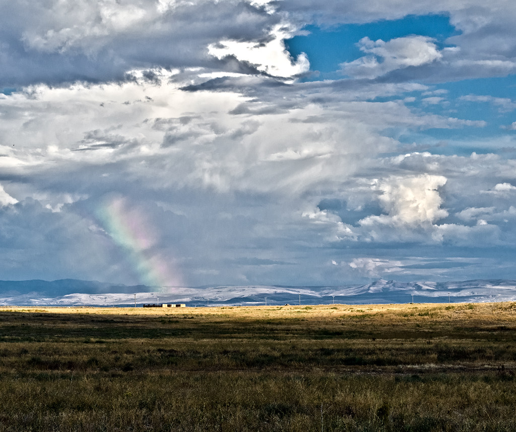
Sunset on the Snake River Plain near Blackfoot, ID
Topographic Map of Sunset Rd, Blackfoot, ID, USA
Find elevation by address:

Places near Sunset Rd, Blackfoot, ID, USA:
ID-39, Blackfoot, ID, USA
W S, Blackfoot, ID, USA
1296 Us-26
S W, Pingree, ID, USA
Pingree
U.s. Highway 26
Taber Rd, Blackfoot, ID, USA
W S, Springfield, ID, USA
Springfield
Sterling
W S, Sterling, ID, USA
S W, Aberdeen, ID, USA
U.s. Highway 26
Aberdeen
Power County
S Main St, Rockland, ID, USA
Rockland
Butte City, ID, USA
Craters Of The Moon National Monument & Preserve
Heglar Canyon Rd, Idaho, USA
Recent Searches:
- Elevation of Corso Fratelli Cairoli, 35, Macerata MC, Italy
- Elevation of Tallevast Rd, Sarasota, FL, USA
- Elevation of 4th St E, Sonoma, CA, USA
- Elevation of Black Hollow Rd, Pennsdale, PA, USA
- Elevation of Oakland Ave, Williamsport, PA, USA
- Elevation of Pedrógão Grande, Portugal
- Elevation of Klee Dr, Martinsburg, WV, USA
- Elevation of Via Roma, Pieranica CR, Italy
- Elevation of Tavkvetili Mountain, Georgia
- Elevation of Hartfords Bluff Cir, Mt Pleasant, SC, USA