Elevation of Blackfoot, ID, USA
Location: United States > Idaho >
Longitude: -112.34497
Latitude: 43.1904709
Elevation: 1371m / 4498feet
Barometric Pressure: 86KPa
Elevation Map:
Satellite Map:
Related Photos:
Fairly High

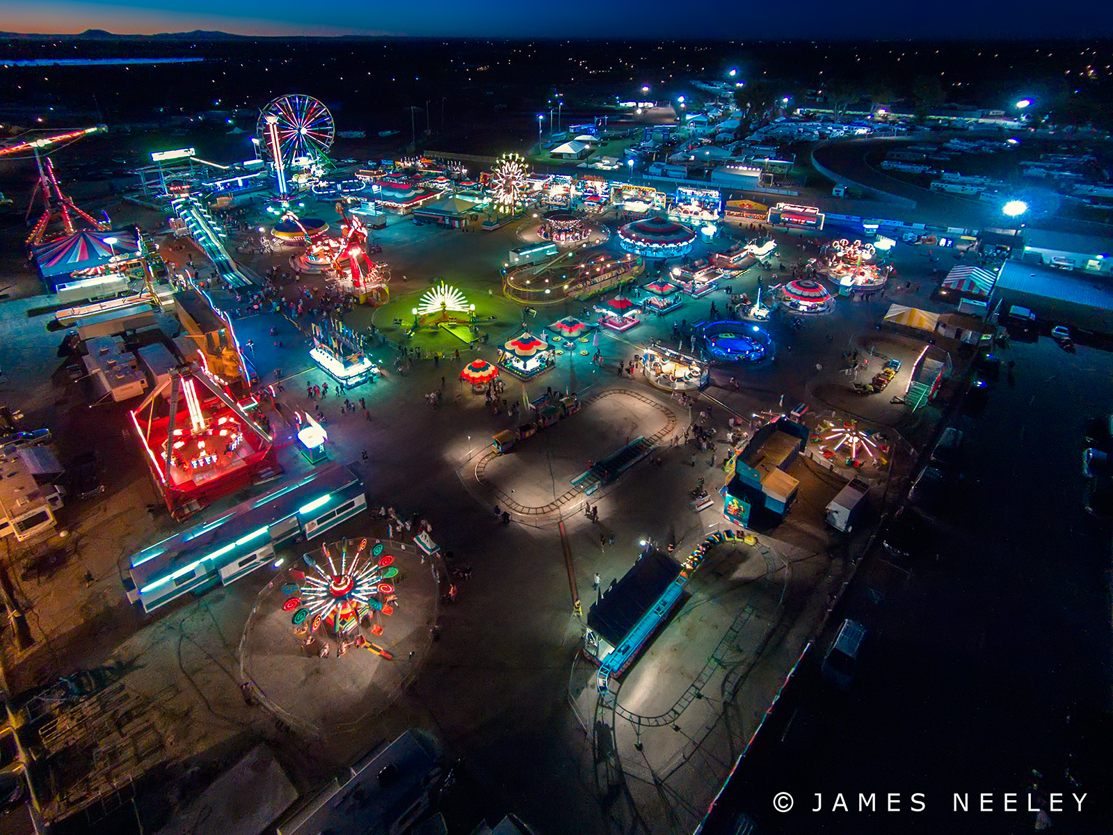
Air Fair

Blackfoot, Id 033

Kennedy Miller

Megan Martinsen

Meghan and Kade

Tyler Mikesell

She Plays In The Grass
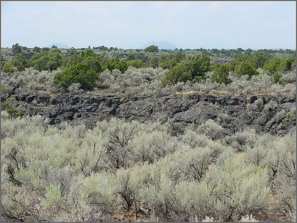
Hells Half Acre; view of lava field

Day 107 of 365-Pt.2: Where the west was all but won
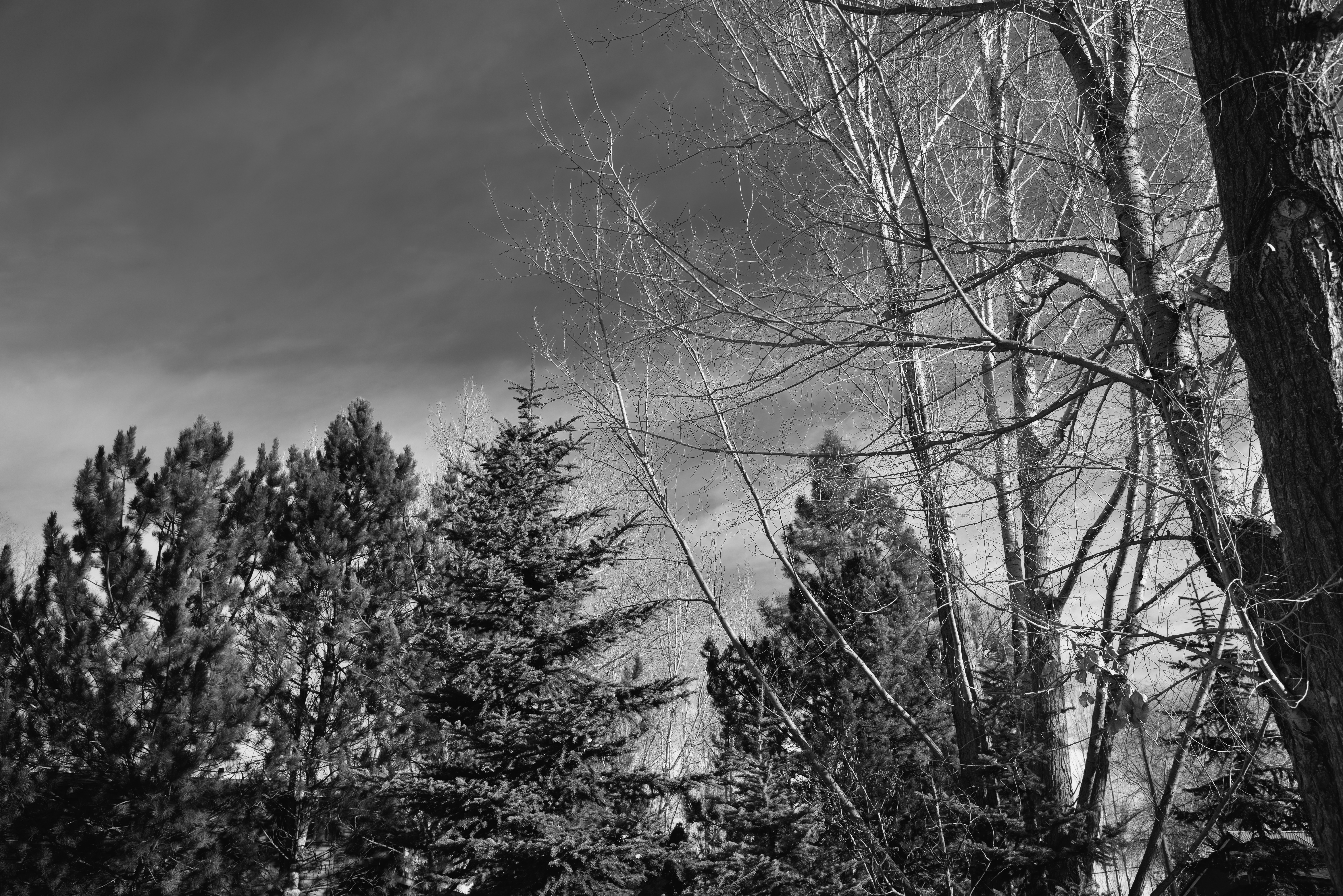
Looking up to Blue Skies and Cloud Wisps in the Idaho Skies (Black & White)
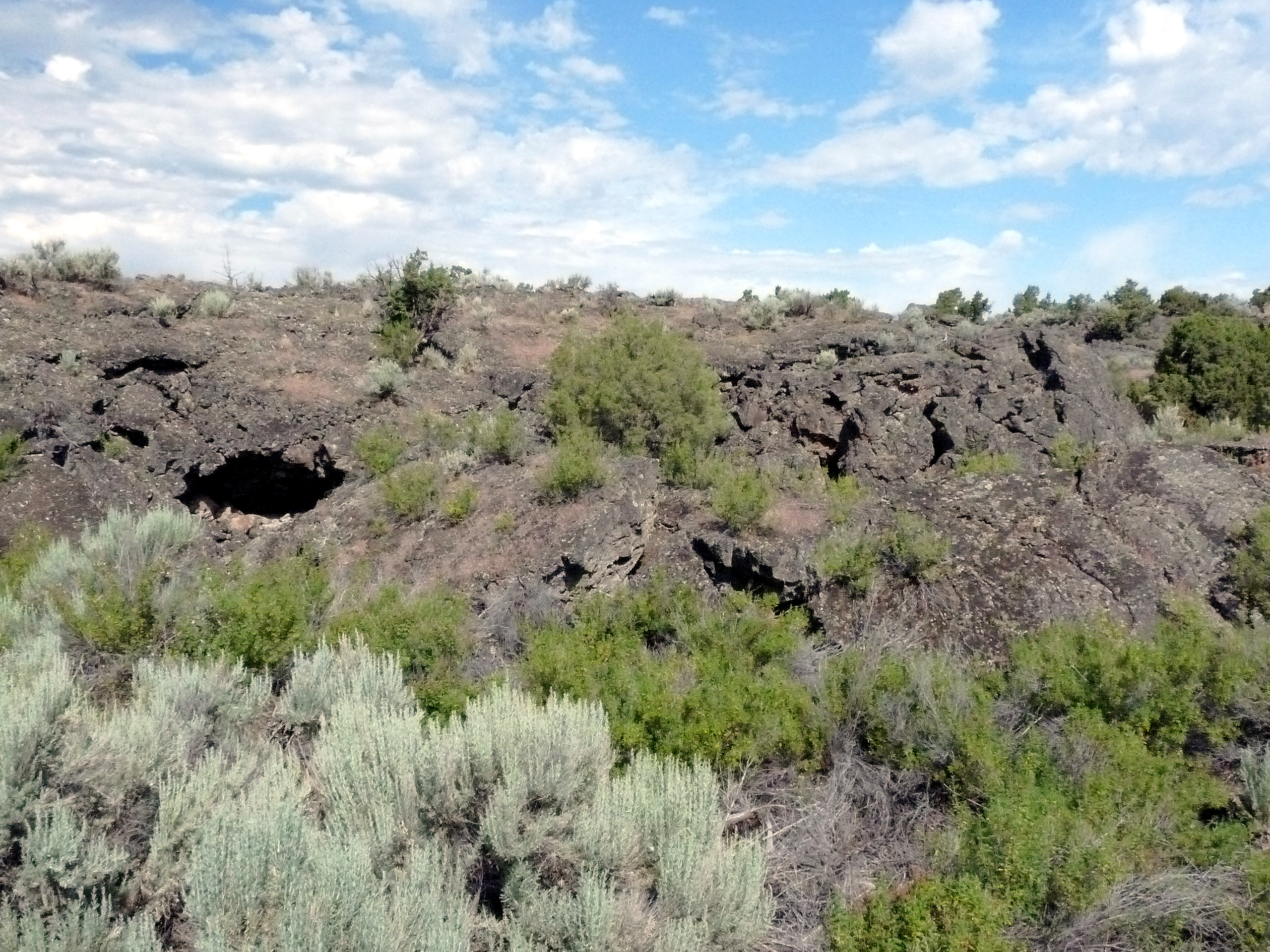
488 Idaho, Hells Half Acre Services, Lava Cave In Cliff

479 Idaho, Hells Half Acre Services, Lava Cave
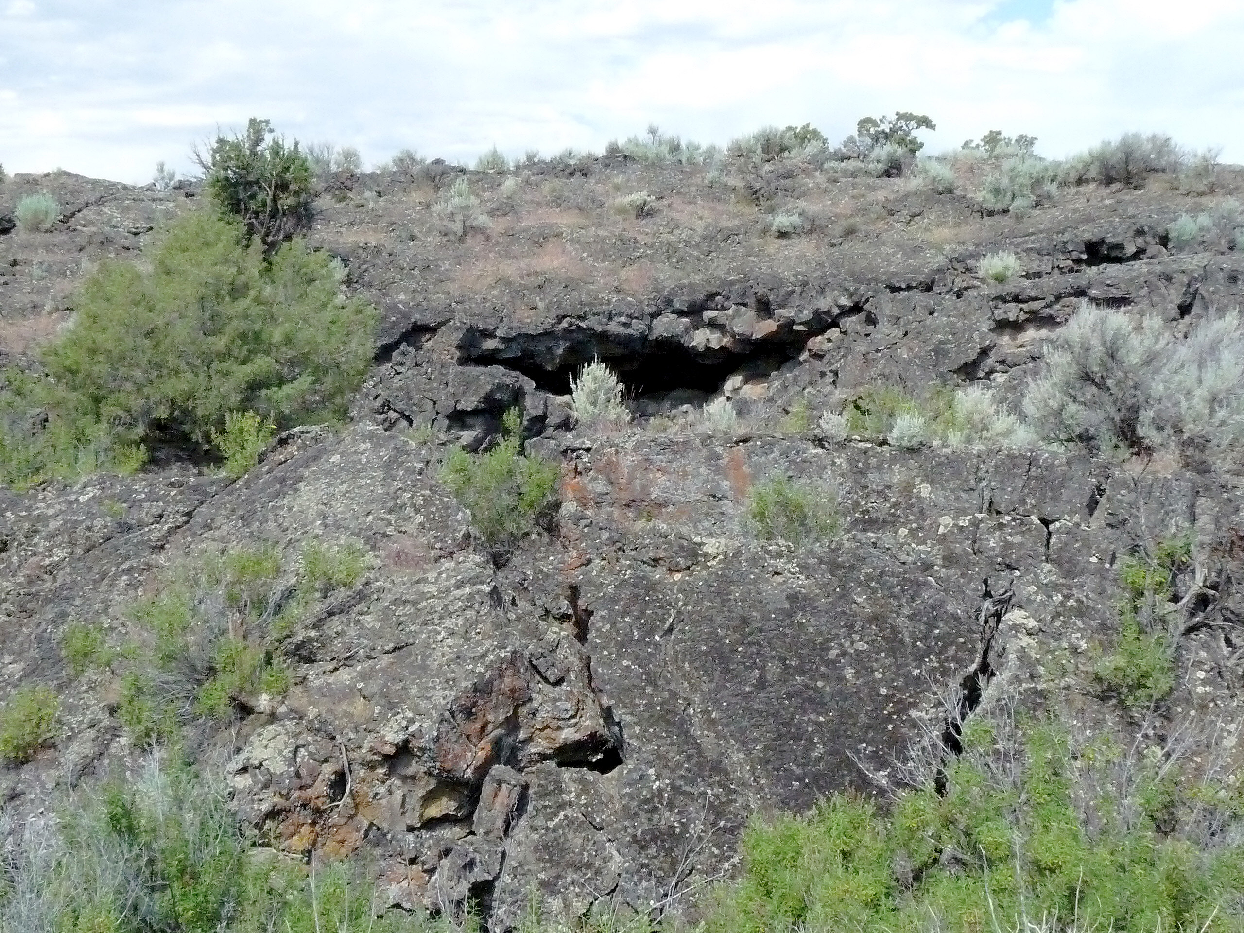
487 Idaho, Hells Half Acre Services, Unstable Lava Cliff
Stuffed 38
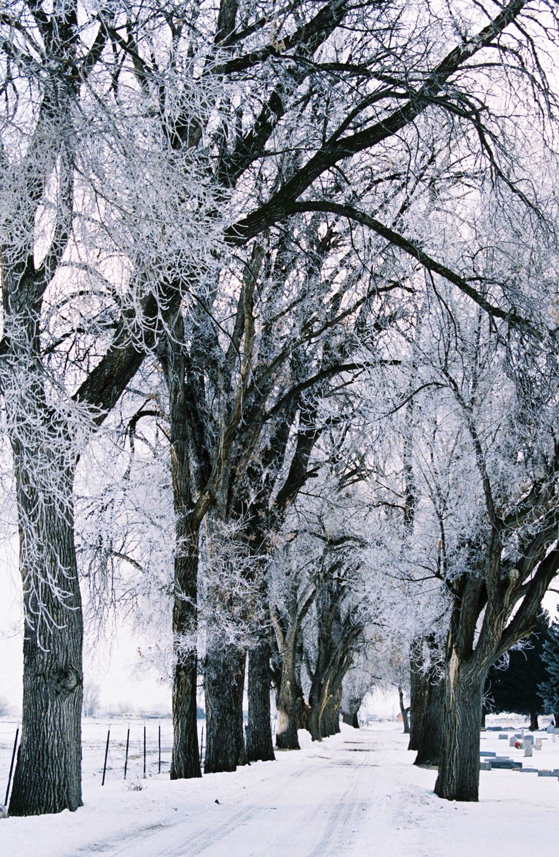
022 Frosty Lane Blackfoot, ID USA
Topographic Map of Blackfoot, ID, USA
Find elevation by address:

Places in Blackfoot, ID, USA:
N W, Blackfoot, ID, USA
N W, Blackfoot, ID, USA
Taber Rd, Blackfoot, ID, USA
Taber Rd, Blackfoot, ID, USA
N W, Blackfoot, ID, USA
N W, Blackfoot, ID, USA
W S, Blackfoot, ID, USA
E N, Blackfoot, ID, USA
U.s. Highway 26
U.s. Highway 26
Places near Blackfoot, ID, USA:
330 Mcdougal St
895 Mcadoo St
Bingham County
N W, Blackfoot, ID, USA
W N, Blackfoot, ID, USA
N W, Blackfoot, ID, USA
N W, Blackfoot, ID, USA
E N, Blackfoot, ID, USA
Taber Rd, Blackfoot, ID, USA
N W, Blackfoot, ID, USA
N E, Firth, ID, USA
W S, Blackfoot, ID, USA
637 N 550 E
Firth
Firth Rd, Firth, ID, USA
587 E 1250 N
N Yellowstone Hwy, Pocatello, ID, USA
Cedar St, Shelley, ID, USA
1085 Stars Rd
North Bingham County Library
Recent Searches:
- Elevation of Corso Fratelli Cairoli, 35, Macerata MC, Italy
- Elevation of Tallevast Rd, Sarasota, FL, USA
- Elevation of 4th St E, Sonoma, CA, USA
- Elevation of Black Hollow Rd, Pennsdale, PA, USA
- Elevation of Oakland Ave, Williamsport, PA, USA
- Elevation of Pedrógão Grande, Portugal
- Elevation of Klee Dr, Martinsburg, WV, USA
- Elevation of Via Roma, Pieranica CR, Italy
- Elevation of Tavkvetili Mountain, Georgia
- Elevation of Hartfords Bluff Cir, Mt Pleasant, SC, USA