Elevation of McDougal St, Blackfoot, ID, USA
Location: United States > Idaho > Blackfoot >
Longitude: -112.3325357
Latitude: 43.1934448
Elevation: 1374m / 4508feet
Barometric Pressure: 0KPa
Related Photos:

Kennedy Miller

Tyler Mikesell
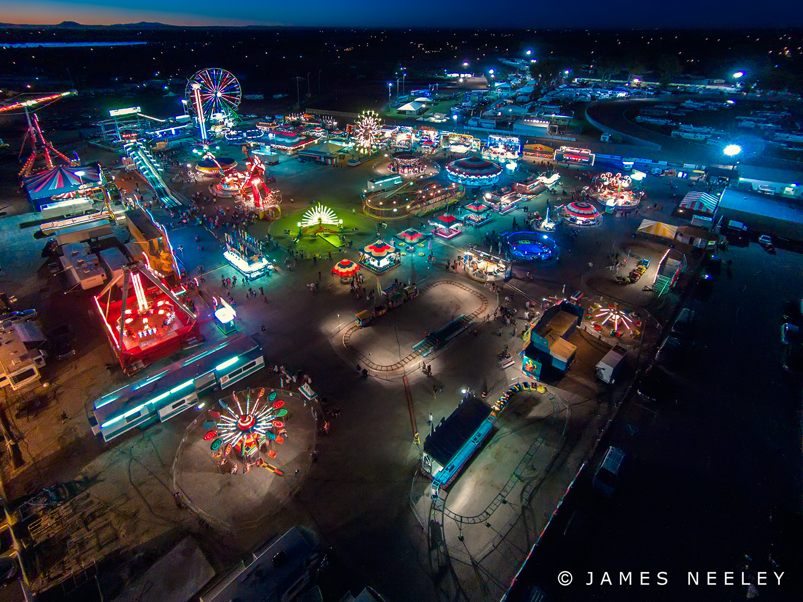
Fairly High

Air Fair

Blackfoot, Id 033

Megan Martinsen
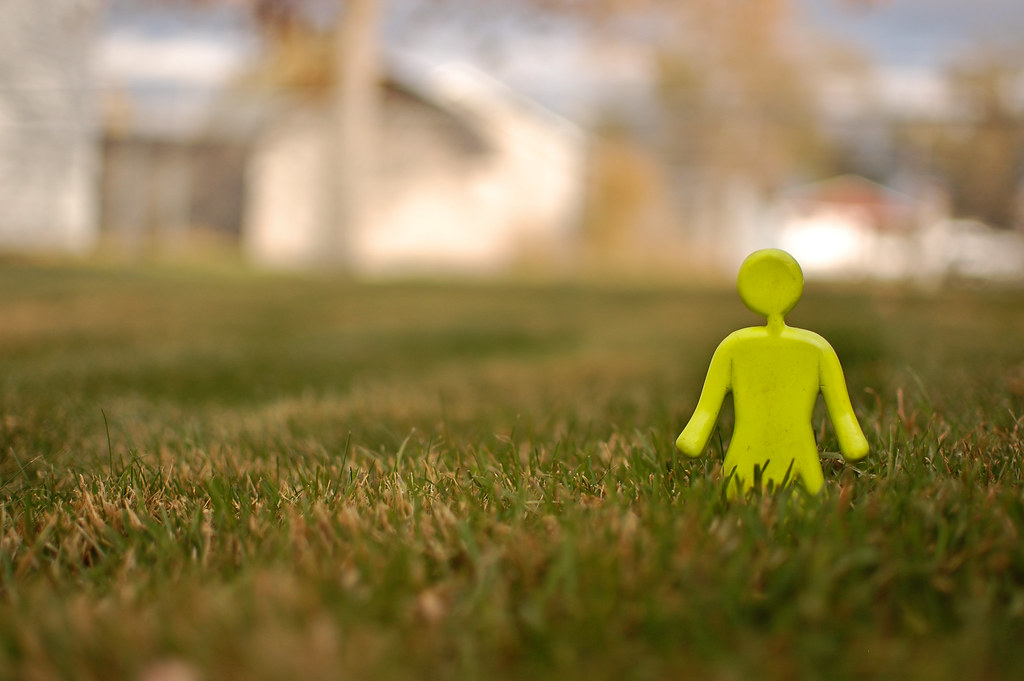
She Plays In The Grass
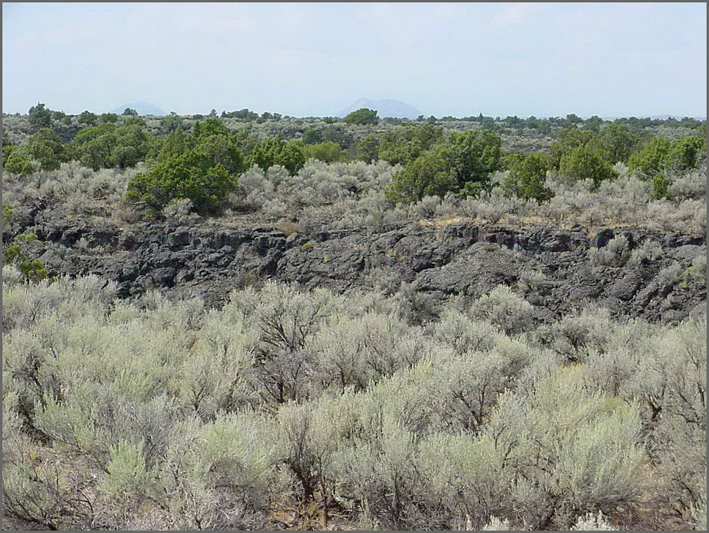
Hells Half Acre; view of lava field

Meghan and Kade

December storm cloud over the eastern part of Ft. Hall Indian Res.
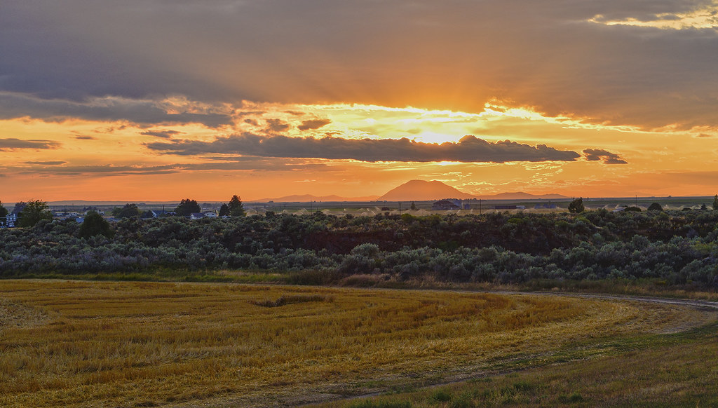
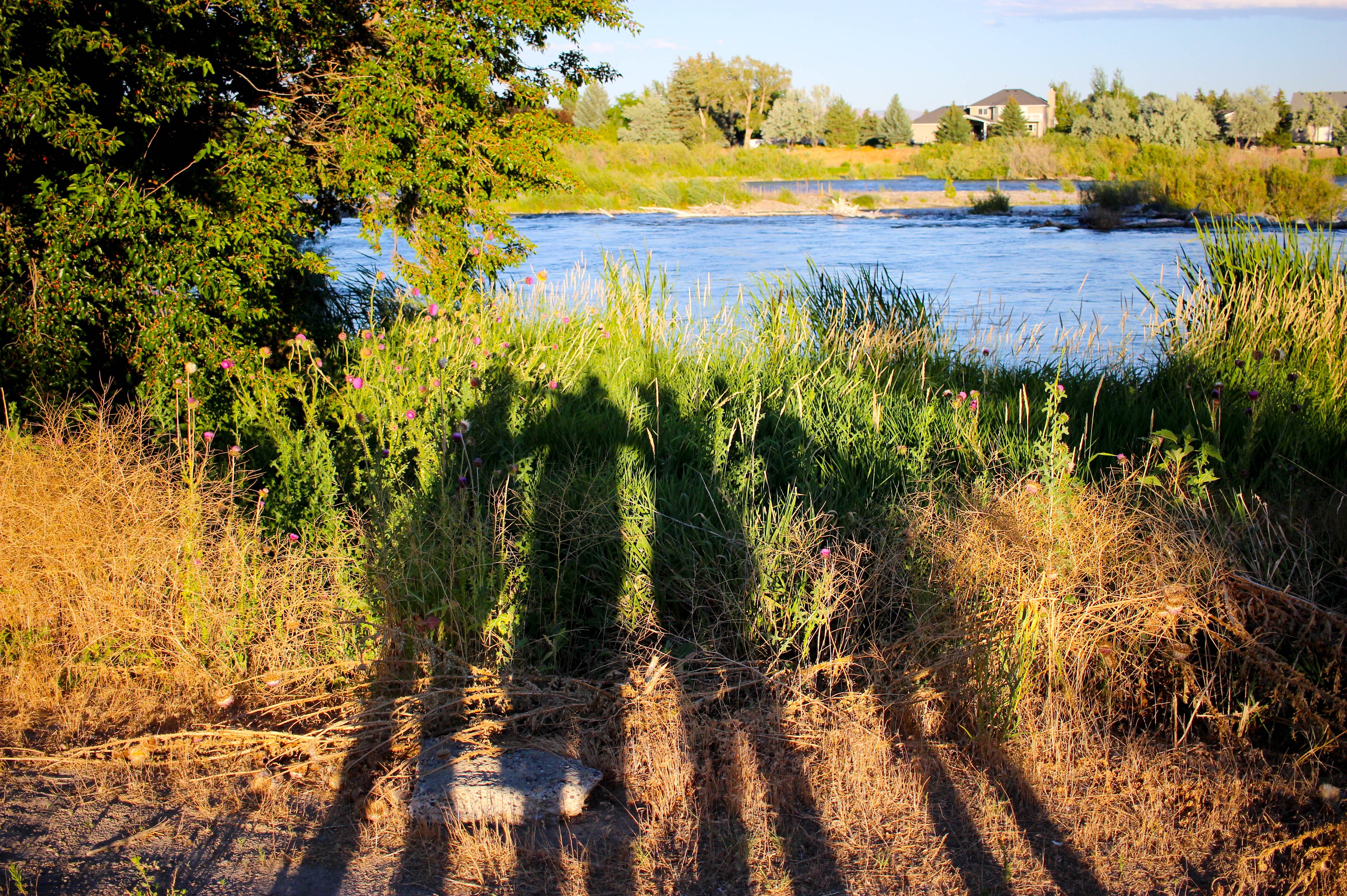
Sunset on the Snake River Plain near Blackfoot, ID

Day 107 of 365-Pt.2: Where the west was all but won
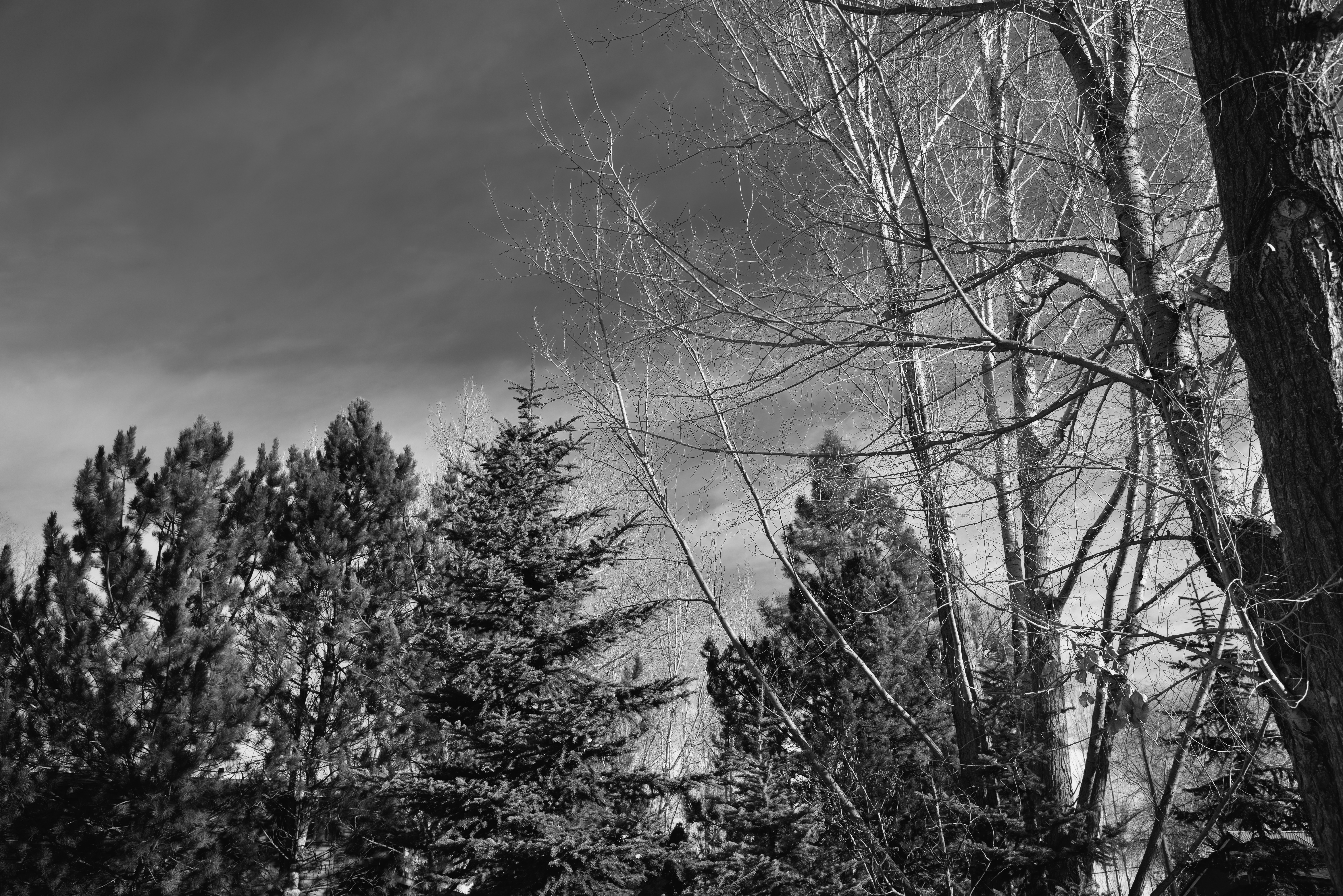
Looking up to Blue Skies and Cloud Wisps in the Idaho Skies (Black & White)
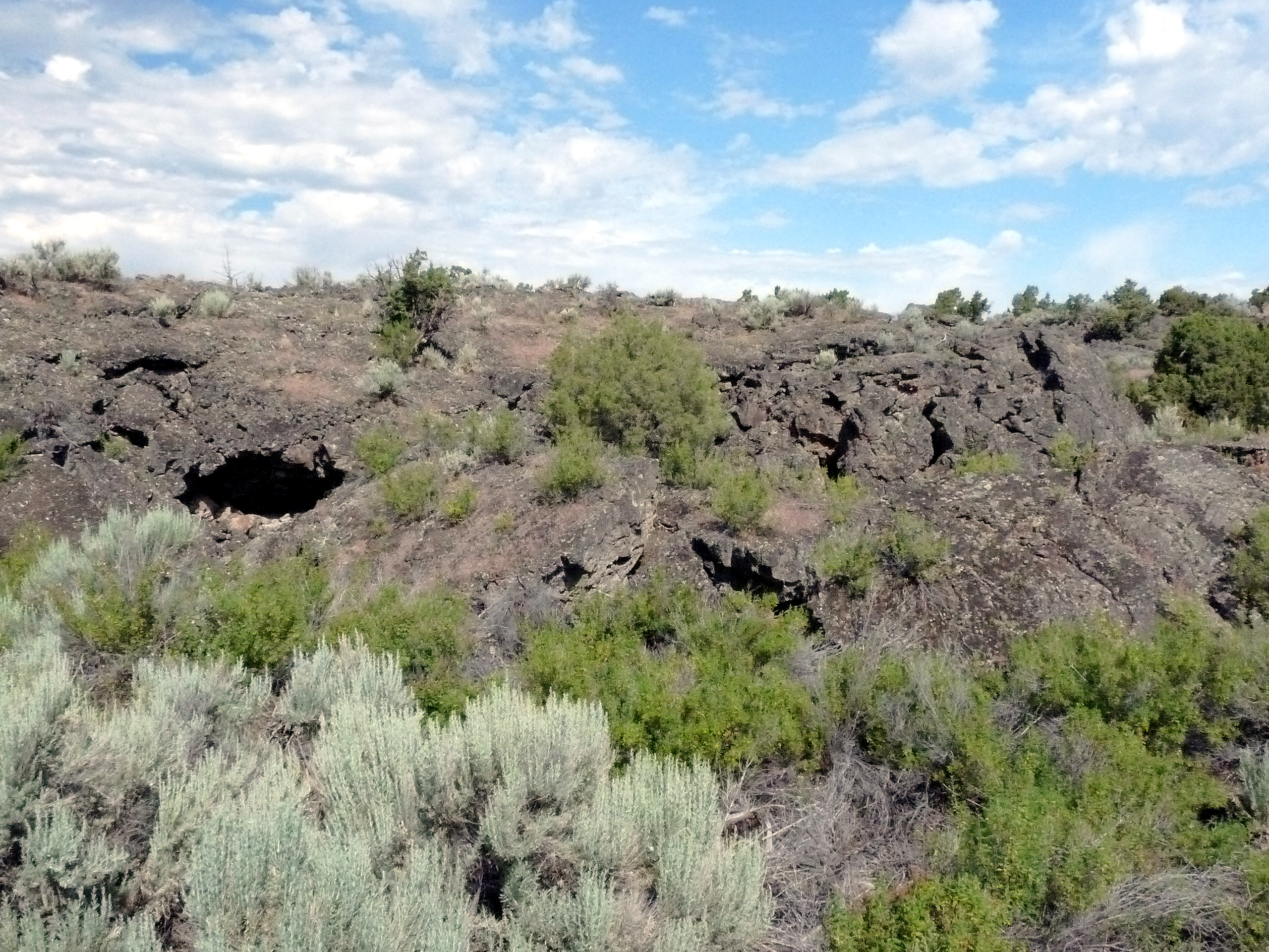
488 Idaho, Hells Half Acre Services, Lava Cave In Cliff
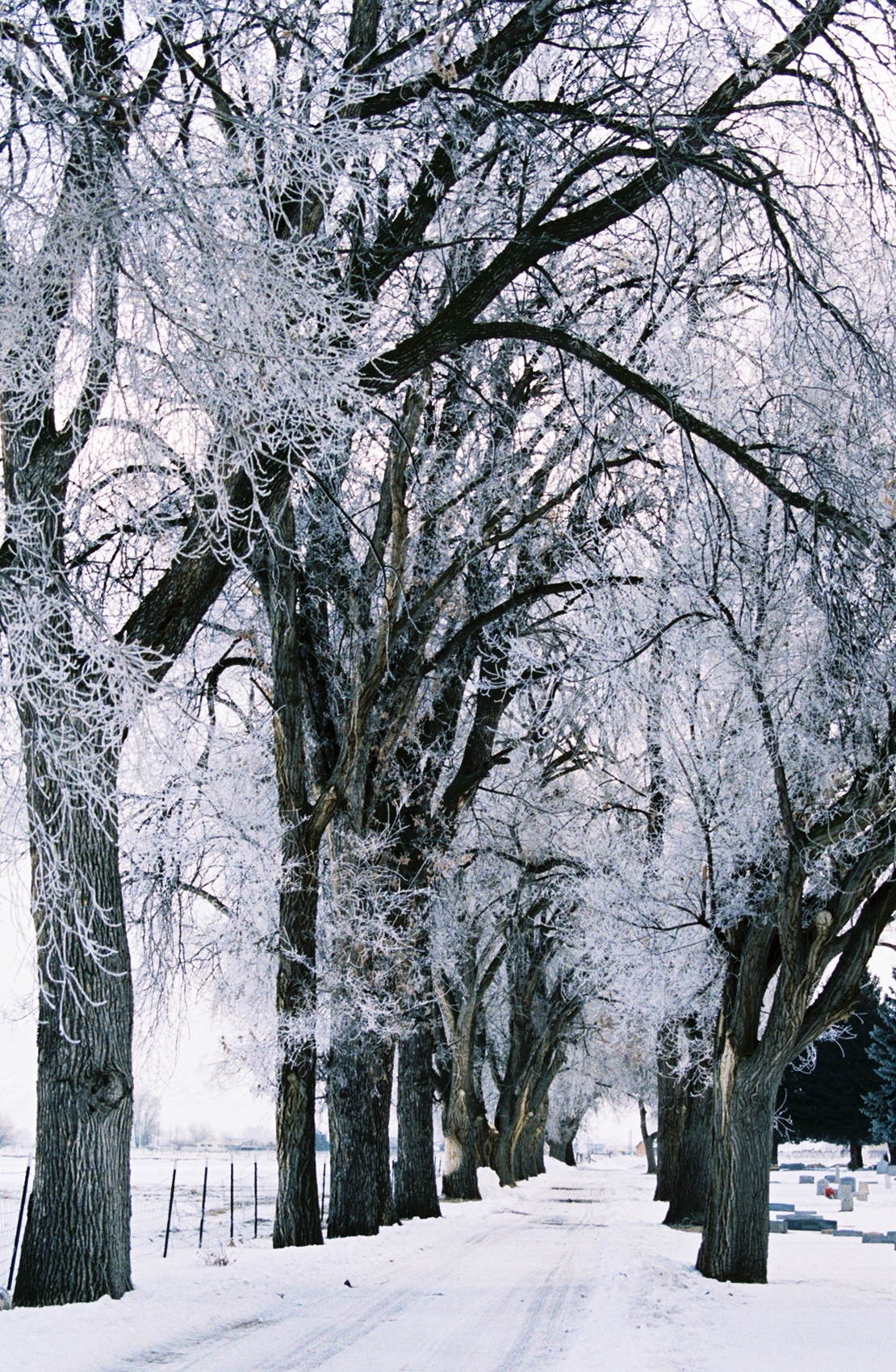
022 Frosty Lane Blackfoot, ID USA

479 Idaho, Hells Half Acre Services, Lava Cave
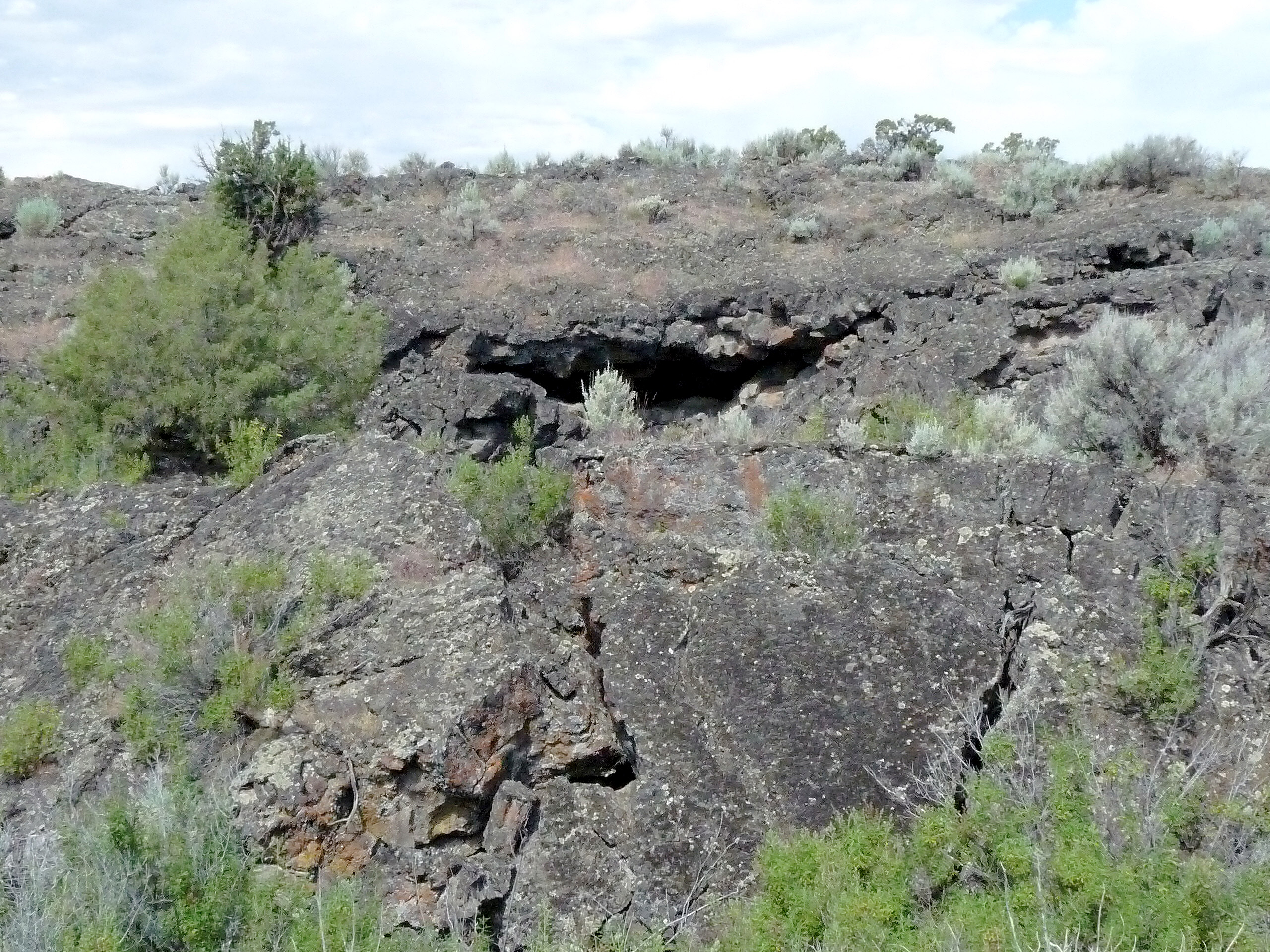
487 Idaho, Hells Half Acre Services, Unstable Lava Cliff
Cathching up. This is some of my adventures.
Stuffed 38
Topographic Map of McDougal St, Blackfoot, ID, USA
Find elevation by address:

Places near McDougal St, Blackfoot, ID, USA:
Blackfoot
895 Mcadoo St
Bingham County
N W, Blackfoot, ID, USA
W N, Blackfoot, ID, USA
N W, Blackfoot, ID, USA
N W, Blackfoot, ID, USA
E N, Blackfoot, ID, USA
N W, Blackfoot, ID, USA
Taber Rd, Blackfoot, ID, USA
N E, Firth, ID, USA
637 N 550 E
Firth
W S, Blackfoot, ID, USA
Firth Rd, Firth, ID, USA
587 E 1250 N
Cedar St, Shelley, ID, USA
N Yellowstone Hwy, Pocatello, ID, USA
North Bingham County Library
240 E Fir St
Recent Searches:
- Elevation of Dharamkot Tahsil, Punjab, India
- Elevation of Bhinder Khurd, Dharamkot Tahsil, Punjab, India
- Elevation of 2881, Chabot Drive, San Bruno, San Mateo County, California, 94066, USA
- Elevation of 10370, West 107th Circle, Westminster, Jefferson County, Colorado, 80021, USA
- Elevation of 611, Roman Road, Old Ford, Bow, London, England, E3 2RW, United Kingdom
- Elevation of 116, Beartown Road, Underhill, Chittenden County, Vermont, 05489, USA
- Elevation of Window Rock, Colfax County, New Mexico, 87714, USA
- Elevation of 4807, Rosecroft Street, Kempsville Gardens, Virginia Beach, Virginia, 23464, USA
- Elevation map of Matawinie, Quebec, Canada
- Elevation of Sainte-Émélie-de-l'Énergie, Matawinie, Quebec, Canada
- Elevation of Rue du Pont, Sainte-Émélie-de-l'Énergie, Matawinie, Quebec, J0K2K0, Canada
- Elevation of 8, Rue de Bécancour, Blainville, Thérèse-De Blainville, Quebec, J7B1N2, Canada
- Elevation of Wilmot Court North, 163, University Avenue West, Northdale, Waterloo, Region of Waterloo, Ontario, N2L6B6, Canada
- Elevation map of Panamá Province, Panama
- Elevation of Balboa, Panamá Province, Panama
- Elevation of San Miguel, Balboa, Panamá Province, Panama
- Elevation of Isla Gibraleón, San Miguel, Balboa, Panamá Province, Panama
- Elevation of 4655, Krischke Road, Schulenburg, Fayette County, Texas, 78956, USA
- Elevation of Carnegie Avenue, Downtown Cleveland, Cleveland, Cuyahoga County, Ohio, 44115, USA
- Elevation of Walhonding, Coshocton County, Ohio, USA