Elevation of Twin Buttes West, Montana, USA
Location: United States > Montana > Augusta >
Longitude: -112.52111
Latitude: 47.2513888
Elevation: 2213m / 7260feet
Barometric Pressure: 77KPa
Elevation Map:
Satellite Map:
Related Photos:
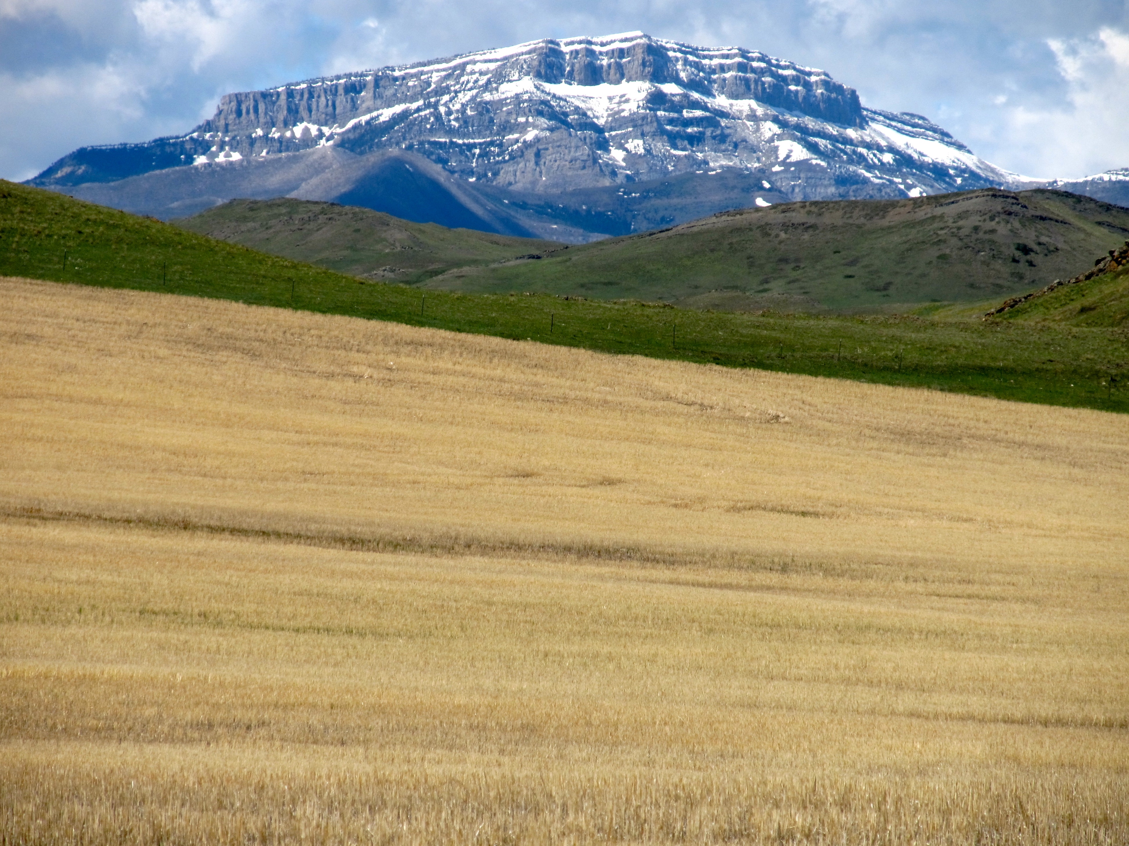
Rocky Mountain Front. Montana
Topographic Map of Twin Buttes West, Montana, USA
Find elevation by address:

Places near Twin Buttes West, Montana, USA:
6712 Dearborn Canyon Rd
Monitor Mountain
Steamboat Mountain East
Caribou Peak
Alice Mountains Hp
Silver King Mountain
Steamboat Mountain
Grassy Hills Hp
Olson Peak
Red Mountain
Mccarty Hill
Galusha Peak
Stonewall Mountain
Crown Mountain
Cyanide Mountain
Halfmoon Peak
Lime Ridge
Bugle Mountain
Fairview Mountain
930 4th St N
Recent Searches:
- Elevation of Corso Fratelli Cairoli, 35, Macerata MC, Italy
- Elevation of Tallevast Rd, Sarasota, FL, USA
- Elevation of 4th St E, Sonoma, CA, USA
- Elevation of Black Hollow Rd, Pennsdale, PA, USA
- Elevation of Oakland Ave, Williamsport, PA, USA
- Elevation of Pedrógão Grande, Portugal
- Elevation of Klee Dr, Martinsburg, WV, USA
- Elevation of Via Roma, Pieranica CR, Italy
- Elevation of Tavkvetili Mountain, Georgia
- Elevation of Hartfords Bluff Cir, Mt Pleasant, SC, USA