Elevation of Silver King Mountain, Montana, USA
Location: United States > Montana > Lincoln >
Longitude: -112.52808
Latitude: 47.1146655
Elevation: 2343m / 7687feet
Barometric Pressure: 76KPa
Elevation Map:
Satellite Map:
Related Photos:
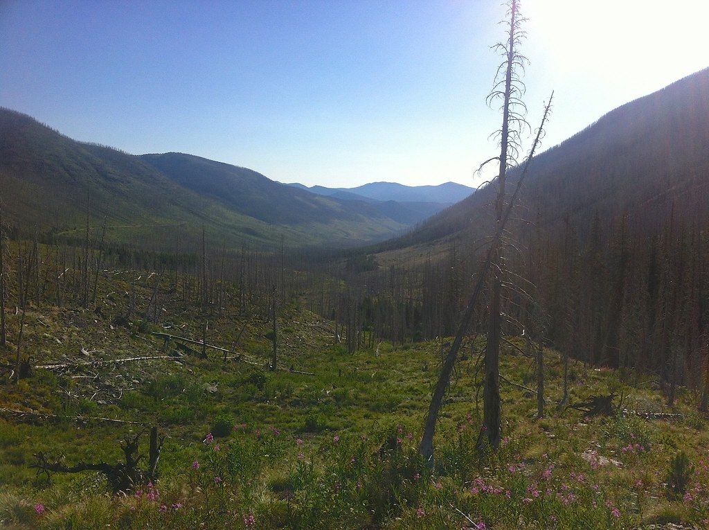
Fire-killed Trees - 1
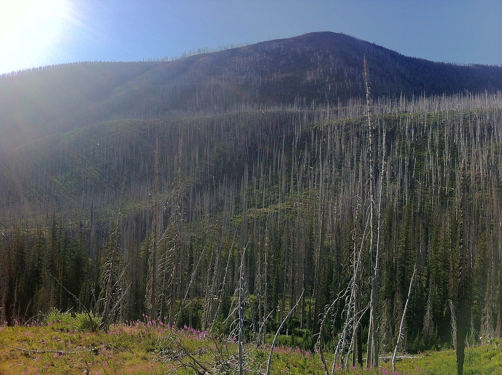
Fire-killed Trees - 5
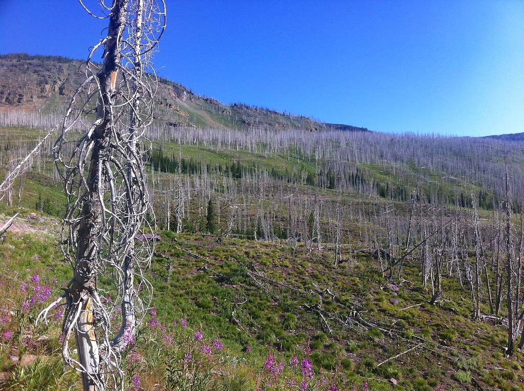
Fire-killed Trees - 3
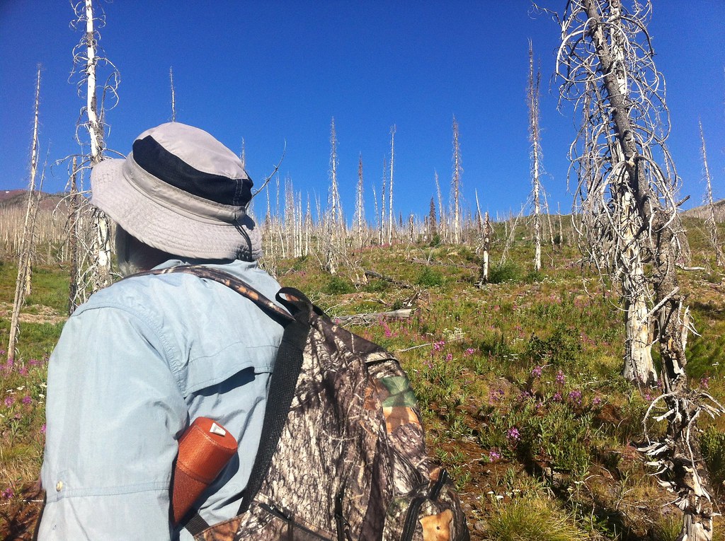
Fire-killed Trees - 2

Fire-killed Trees - 4
Topographic Map of Silver King Mountain, Montana, USA
Find elevation by address:

Places near Silver King Mountain, Montana, USA:
Alice Mountains Hp
Caribou Peak
Monitor Mountain
Twin Buttes West
6712 Dearborn Canyon Rd
Steamboat Mountain East
Stonewall Mountain
Red Mountain
930 4th St N
Grassy Hills Hp
873 D St
Lincoln
Steamboat Mountain
Olson Peak
Galusha Peak
Bugle Mountain
Arrastra Mountain
Daly Peak
Nevada Mountain
Echo Mountain
Recent Searches:
- Elevation of Corso Fratelli Cairoli, 35, Macerata MC, Italy
- Elevation of Tallevast Rd, Sarasota, FL, USA
- Elevation of 4th St E, Sonoma, CA, USA
- Elevation of Black Hollow Rd, Pennsdale, PA, USA
- Elevation of Oakland Ave, Williamsport, PA, USA
- Elevation of Pedrógão Grande, Portugal
- Elevation of Klee Dr, Martinsburg, WV, USA
- Elevation of Via Roma, Pieranica CR, Italy
- Elevation of Tavkvetili Mountain, Georgia
- Elevation of Hartfords Bluff Cir, Mt Pleasant, SC, USA