Elevation of Tumbling Peak, East Kootenay G, BC V0A, Canada

Location: Canada > British Columbia > East Kootenay > East Kootenay G >

Longitude: -116.23166

Latitude: 51.11

Elevation: 2999m / 9839feet

Barometric Pressure: 70KPa

Elevation Map:

elevation map of Tumbling Peak, East Kootenay G, BC V0A, Canada

Satellite Map:

Satellite map of Tumbling Peak, East Kootenay G, BC V0A, Canada

Related Photos:

ca autumn lake canada fall nature rockies high bc bright hiking britishcolumbia bluesky glacier alpine northamerica rockymountains geology wilderness larch tarn rockwall steep rockformations rockwalls freshwater kootenaypark treesforests skyandatmosphere
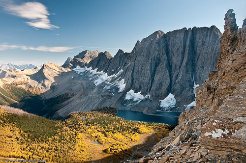
Floe Lake From Foster Peak Slopes
autumn cliff lake canada fall nature beautiful landscape scenery outdoor britishcolumbia scenic alpine vegetation northamerica rockymountains sunlit majestic larch rockwall freshwater environments glaciallake magnificence grandness kootenaypark treesforests
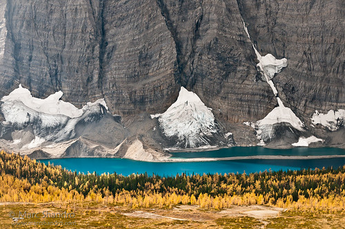
Floe Lake And Golden Larch Trees
ca canada nature rockies britishcolumbia location ridge alpine backpacking northamerica rockymountains wilderness rockwall lowsun kootenaypark
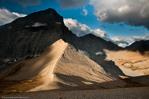
Follow the Ridge of Light
autumn cliff lake canada fall nature beautiful landscape scenery outdoor britishcolumbia scenic alpine vegetation northamerica rockymountains sunlit majestic larch rockwall freshwater environments glaciallake magnificence grandness kootenaypark
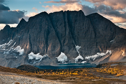
Autumn Sunrise on Floe Lake
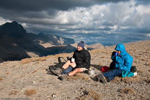
people canada mountains cold me nature rockies high couple britishcolumbia relaxing drinking alpine backpacking northamerica rockymountains resting wilderness rockwall environments kootenaypark familygetty2010
Morning Brew At Numa Pass Coffee Shop
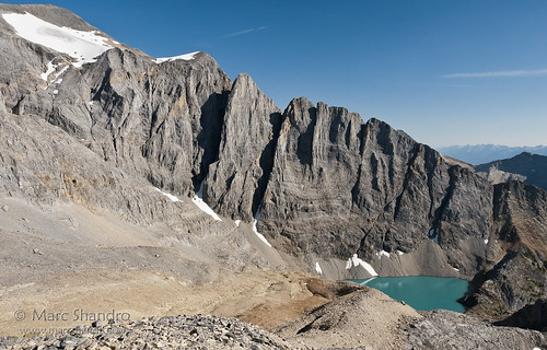
summer lake nature landscape bc view bright outdoor britishcolumbia scenic bluesky alpine remote geology wilderness barren rockformations rockwalls freshwater glacial canadianrockies rugget
High Lake Behind The Rockwall
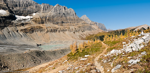
autumn panorama lake canada mountains fall nature rockies highresolution bright path britishcolumbia bluesky trail alpine backpacking northamerica rockymountains geology larch tarn rockwall kootenay rockformations rockwalls freshwater kootenaypark
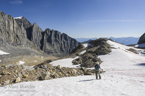
Tumbling Pass - Rockwall Trail
canada canadianrockies northamerica alpine altitude barren elevation environments expanse high landscape mountainous nature outdoor rugged scenic scrambling summer view britishcolumbia
Exploring Near Mt. Gray and High Lake
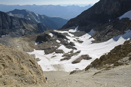
canada mountains nature landscape stereoscopic bc view bright outdoor britishcolumbia scenic sunny bluesky alpine remote wilderness elevation barren rugged glacial canadianrockies
Exploration Above High Lake
canada view britishcolumbia northamerica rv canadianrockies outdoorrecreation truckcamper spillimacheen
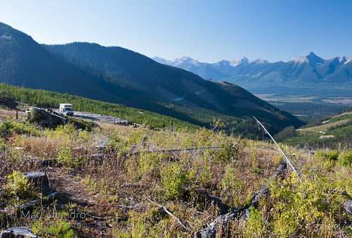
Logging Road Camp
canada britishcolumbia northamerica canadianrockies spillimacheen
Dainard Lake
canada banffnationalpark stanleyglacier stanleymountain
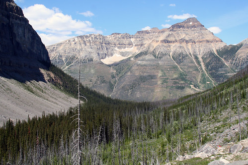
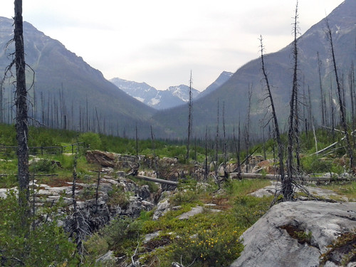
The view back down the burnt valley
Alpine view
usa canada mountains hot west bc hiking britishcolumbia springs radium radiumhotsprings fireweed marblecanyon epilobiumangustifolium greatwillowherb kootenaynationalpark adventuretravel tokummcreek nationalparksandmonuments obstphotos “newcameraflowercontest” obstbestphotos destinationswildscenichikingtrails natureenchantingflowersforestsfoliage obstphotosbest2010 fireweedtrailhikersviewoffireweedalsoknownasgreatwillowherborepilobiumangustifoliumgrowingneartokummcreekandmarblecanyonwithinkootenaynationalpark landscapesinspirational destinationswildscenic fireweedtrail newcameraflowersphoto28feb2011contest3057neffflimcanbcrhskootenaynpfireweedmarblecanyonbcs perennialherbaceousplantinwillowherbfamilyonagraceae nativeflowerthroughoutthetemperatenorthernhemisphere
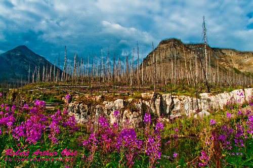
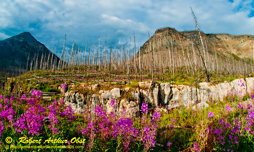
Fireweed Trail hiker's view of Fireweed also known as Great Willow-herb or Epilobium angustifolium growing near Tokumm Creek and Marble Canyon within Kootenay National Park (Canada BC Radium Hot Springs)
Alpine view
obstphotos adventuretravelusawestcanadakootenaynationalpark landscapesinspirationalmountains destinationswildscenicnationalparksandmonuments destinationswildscenichikingtrails canadakootenaynationalparkradiumhotspringsbritishcolumbiamarblecanyontokummcreek hikingthefireweedtrailinmarblecanyonalongtokummcreeknearradiumhotspringsbritishcolumbia epilobiumangustifoliumorfireweedorgreatwillowherbaperennialherbaceousplantinwillowherbfamilyonagraceaenativethroughoutthetemperatenorthernhemisphere natureenchantingflowersforestsfoliage photocontesttnc12 photocontesttnc12fireweedtrailhikersviewoffireweedgrowingneartokummcreekandmarblecanyonwithinkootenaynationalparkcanadabcradiumhotsprings obstbest neffflim3057ato2010canbcrhskootenaynpflowersmarblecanyonb
PhotoContest-TNC12_3057.W_NEFFF.LIM.ATO2010-CAN.BC.RHS.KootenayNPFlowers.MarbleCanyon-B
Just enjoying the view
2014-07-14 12.07.46_edited-1
2014-07-14 12.12.08_edited-1
2014-07-14 12.18.46_edited-1
2014-07-14 12.23.16_edited-1
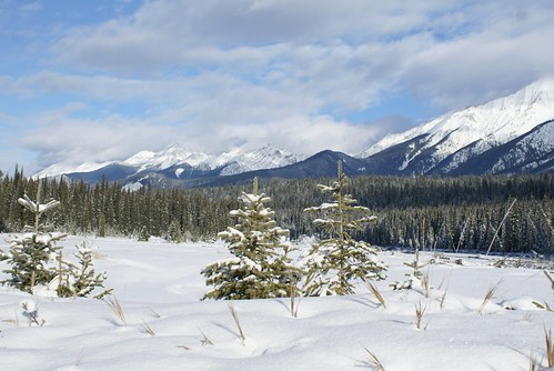
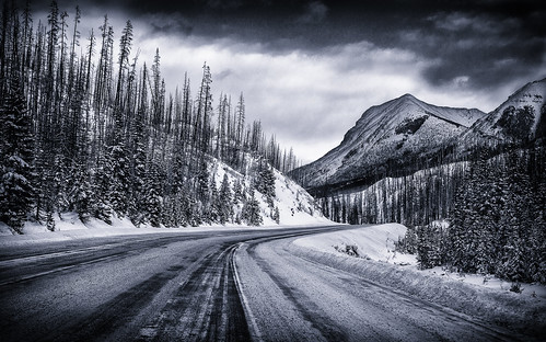
winter blackandwhite canada mountains forest highway britishcolumbia scenic highway93 eastkootenayg
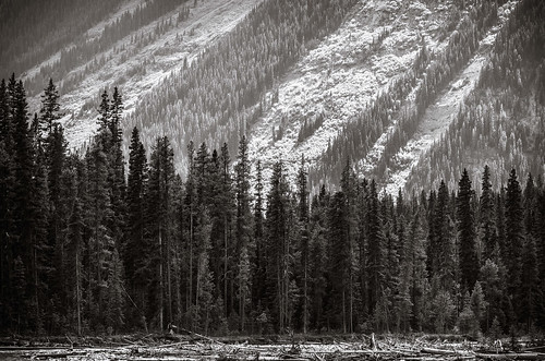
Eyes On The Road
TOKUMM CREEK
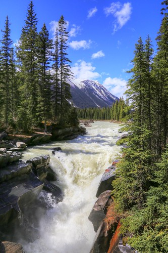
park trees holiday canada hot water canon photography eos town photo bc image pics picture parks pic columbia tourist falls resort national photograph springs destination british roadside numa radium kootenay allrightsreserved 6d pullout touristdestination resorttown holidaydestination cuthill bctourism britishcolumbiatourism canon6d westrockbob canoneos6d bobcuthillphotographygmailcom bobcuthill
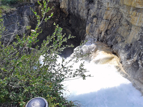
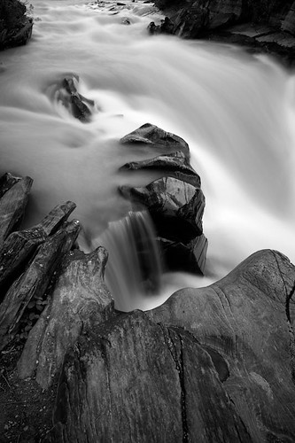
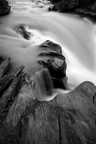
Numa Falls
park national kootenay ecotourism reinventure
Summer runoff
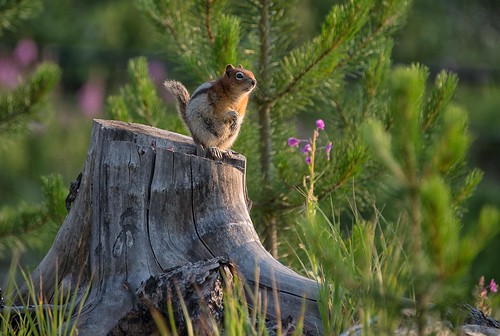
flowers light canada nature landscape nikon britishcolumbia stripes wildlife canyon hike trail stump chirp fireweed squeal marblecanyon canadianrockies 2014 kootenaynationalpark goldenmantledgroundsquirrel specanimal dailynaturetnc14 photoofthedaynwf14
Little Squealer
canada mountains britishcolumbia waterfalls rockymountains marblecanyon kootenaynationalpark
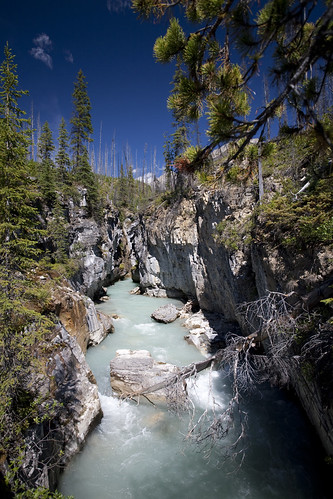
Marble Canyon
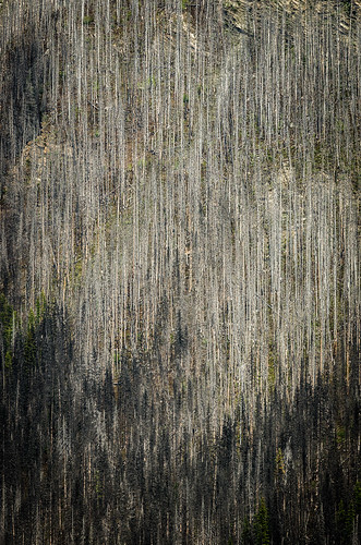
trees plants canada britishcolumbia hill kootenaynationalpark burnarea burnedarea burntarea tamronsp70200mmf28dildifmacro
Burn area
summer canada water rockies waterfall britishcolumbia roadtrip prairies eastkootenayg shawnharquailcom
Roatrip through Canada
park autumn mountain lake canada fall colors forest colombia colombian running canadian trail national british larch larches rockwall kootenay floe iphone 5s
floe lake
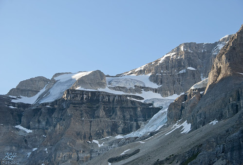
morning sky canada ice nature landscape photography photo nationalpark melting rocks toe britishcolumbia glacier stanley scree kootenay receeding kghofsf 2012roadtrip
Stanley Glacier
canada britishcolumbia kootenaynationalpark
Marble Canyon, Kootenay National Park
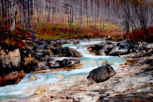
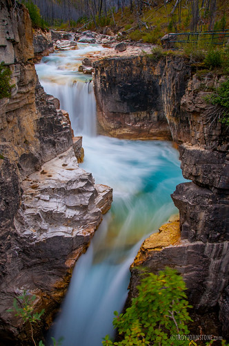
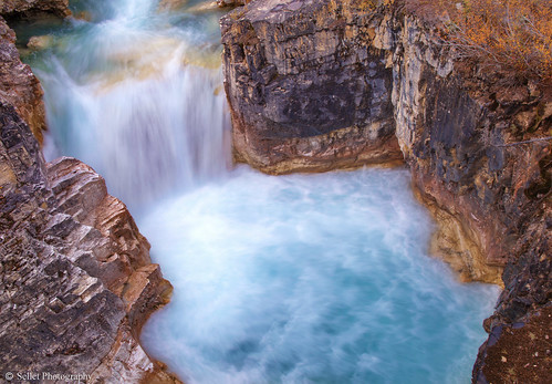
blue canada mountains water landscape waterfall nationalpark outdoor britishcolumbia turquoise rocky canyon falls waterfalls kootenay marblecanyon canadianrockies tokummcreek sellet randysellet tokkum
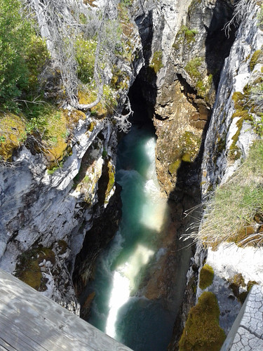
Marble Canyon Waterfalls
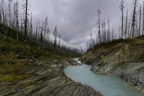
canada animals rock landscape fire bc britishcolumbia burn rockymountains kootenaynationalpark vermilionriver wildernessphotography floelaketrail
Vermillion River, Kootenay National Park
_HEC5592-2
trees plants mountain canada britishcolumbia kootenaynationalpark tamronsp70200mmf28dildifmacro
Slanted light
_HEC5592-2
Marble Canyon, BC