Elevation of Drysdale NE4, East Kootenay G, BC V0A, Canada

Location: Canada > British Columbia > East Kootenay > East Kootenay G >

Longitude: -116.24833

Latitude: 51.1783333

Elevation: 2493m / 8179feet

Barometric Pressure: 75KPa

Elevation Map:

elevation map of Drysdale NE4, East Kootenay G, BC V0A, Canada

Satellite Map:

Satellite map of Drysdale NE4, East Kootenay G, BC V0A, Canada

Related Photos:

lake mountains color colour beautiful wonderful landscape high scenery paradise view superb outdoor altitude scenic scene alpine valley vista daytime geology elevation majestic viewpoint idyllic height breathtaking pristine geological enchanting glaciallake magnificence morrainelake grandness traveldestination banffpark photoshelter visipix
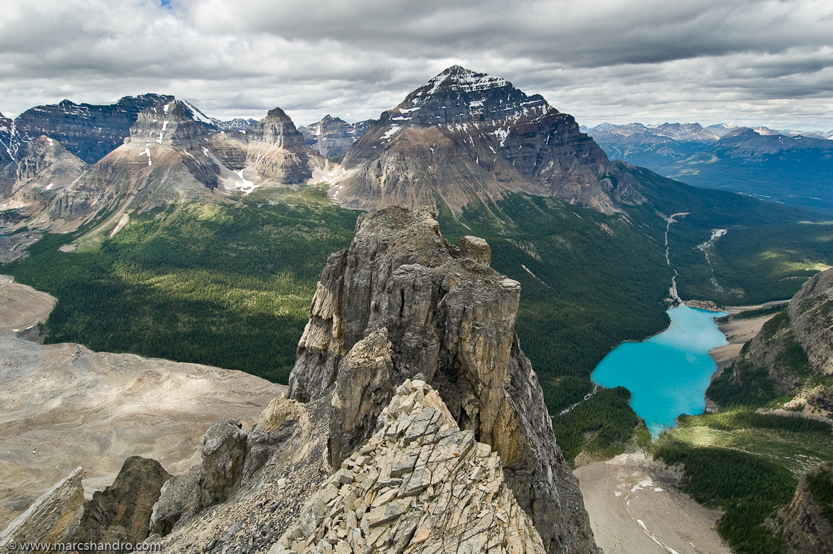
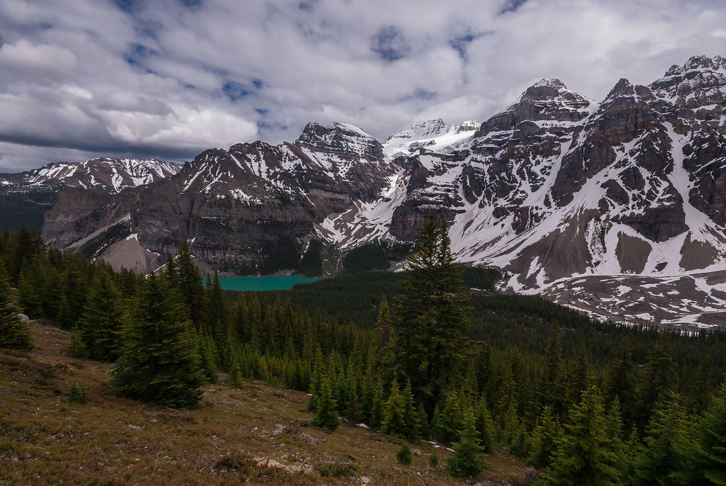
Moraine Lake and Surroundings - Unconventional View
ca autumn lake canada fall nature rockies high bc bright hiking britishcolumbia bluesky glacier alpine northamerica rockymountains geology wilderness larch tarn rockwall steep rockformations rockwalls freshwater kootenaypark treesforests skyandatmosphere
Floe Lake From Foster Peak Slopes
autumn cliff lake canada fall nature beautiful landscape scenery outdoor britishcolumbia scenic alpine vegetation northamerica rockymountains sunlit majestic larch rockwall freshwater environments glaciallake magnificence grandness kootenaypark
Autumn Sunrise on Floe Lake
Moraine Lake AB, view from south shore
autumn cliff lake canada fall nature beautiful landscape scenery outdoor britishcolumbia scenic alpine vegetation northamerica rockymountains sunlit majestic larch rockwall freshwater environments glaciallake magnificence grandness kootenaypark treesforests
Floe Lake And Golden Larch Trees
canada canadianrockies northamerica alpine altitude barren elevation environments expanse high landscape mountainous nature outdoor rugged scenic scrambling summer view britishcolumbia
Exploring Near Mt. Gray and High Lake
usa canada mountains hot west bc hiking britishcolumbia springs radium radiumhotsprings fireweed marblecanyon epilobiumangustifolium greatwillowherb kootenaynationalpark adventuretravel tokummcreek nationalparksandmonuments obstphotos “newcameraflowercontest” obstbestphotos destinationswildscenichikingtrails natureenchantingflowersforestsfoliage obstphotosbest2010 fireweedtrailhikersviewoffireweedalsoknownasgreatwillowherborepilobiumangustifoliumgrowingneartokummcreekandmarblecanyonwithinkootenaynationalpark landscapesinspirational destinationswildscenic fireweedtrail newcameraflowersphoto28feb2011contest3057neffflimcanbcrhskootenaynpfireweedmarblecanyonbcs perennialherbaceousplantinwillowherbfamilyonagraceae nativeflowerthroughoutthetemperatenorthernhemisphere
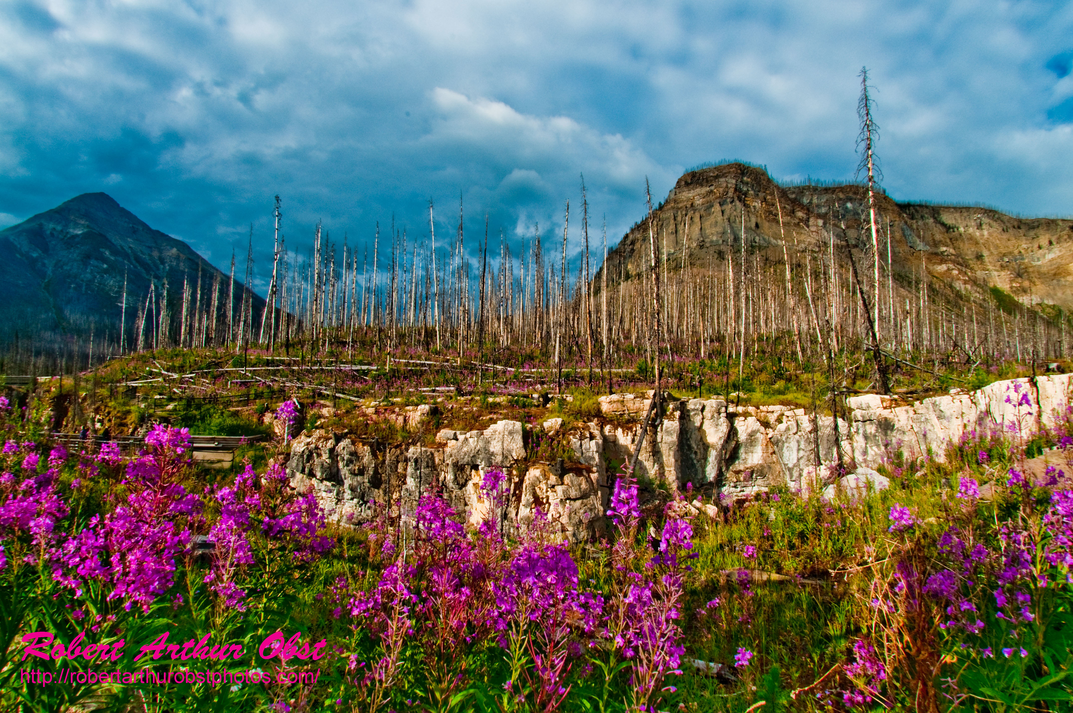
Fireweed Trail hiker's view of Fireweed also known as Great Willow-herb or Epilobium angustifolium growing near Tokumm Creek and Marble Canyon within Kootenay National Park (Canada BC Radium Hot Springs)
canada mountains nature landscape stereoscopic bc view bright outdoor britishcolumbia scenic sunny bluesky alpine remote wilderness elevation barren rugged glacial canadianrockies
Exploration Above High Lake
obstphotos adventuretravelusawestcanadakootenaynationalpark landscapesinspirationalmountains destinationswildscenicnationalparksandmonuments destinationswildscenichikingtrails canadakootenaynationalparkradiumhotspringsbritishcolumbiamarblecanyontokummcreek hikingthefireweedtrailinmarblecanyonalongtokummcreeknearradiumhotspringsbritishcolumbia epilobiumangustifoliumorfireweedorgreatwillowherbaperennialherbaceousplantinwillowherbfamilyonagraceaenativethroughoutthetemperatenorthernhemisphere natureenchantingflowersforestsfoliage photocontesttnc12 photocontesttnc12fireweedtrailhikersviewoffireweedgrowingneartokummcreekandmarblecanyonwithinkootenaynationalparkcanadabcradiumhotsprings obstbest neffflim3057ato2010canbcrhskootenaynpflowersmarblecanyonb
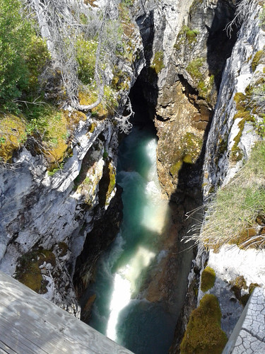
PhotoContest-TNC12_3057.W_NEFFF.LIM.ATO2010-CAN.BC.RHS.KootenayNPFlowers.MarbleCanyon-B
2014-07-14 12.18.46_edited-1
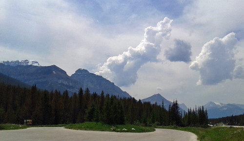
Alpine view
2014-07-14 12.23.16_edited-1
2014-07-14 13.23.19_edited-1
2014-07-14 12.07.46_edited-1
Alpine view
canada banffnationalpark stanleyglacier stanleymountain
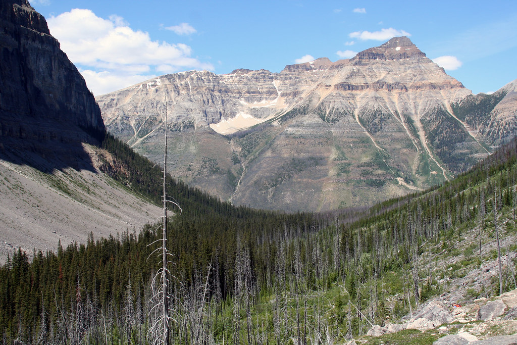
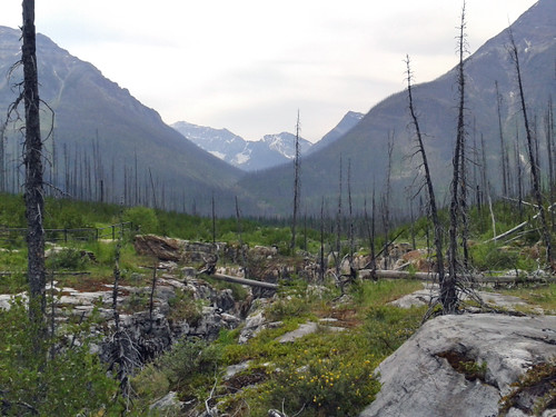
The view back down the burnt valley
ca canada nature rockies britishcolumbia location ridge alpine backpacking northamerica rockymountains wilderness rockwall lowsun kootenaypark
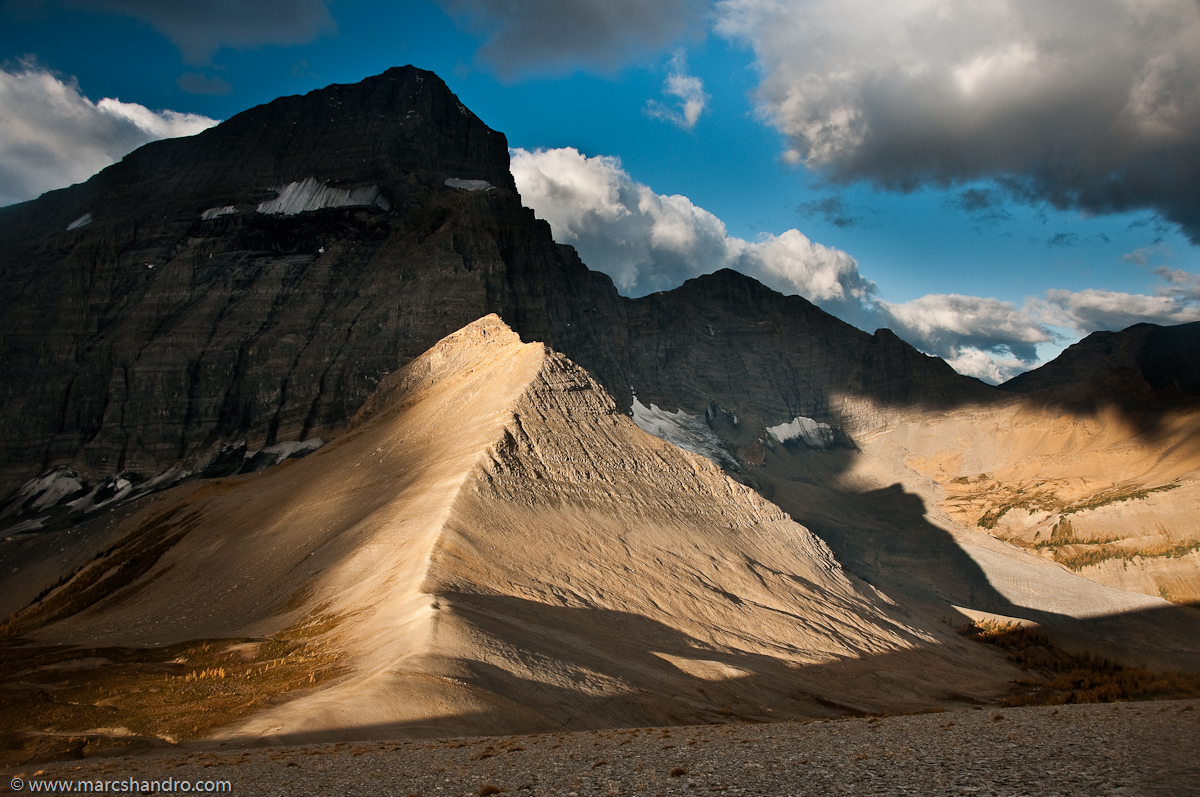
Follow the Ridge of Light
autumn panorama lake canada mountains fall nature rockies highresolution bright path britishcolumbia bluesky trail alpine backpacking northamerica rockymountains geology larch tarn rockwall kootenay rockformations rockwalls freshwater kootenaypark
Tumbling Pass - Rockwall Trail
summer lake nature landscape bc view bright outdoor britishcolumbia scenic bluesky alpine remote geology wilderness barren rockformations rockwalls freshwater glacial canadianrockies rugget
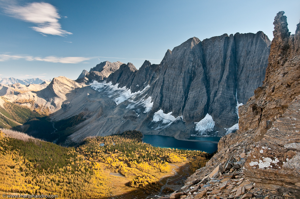
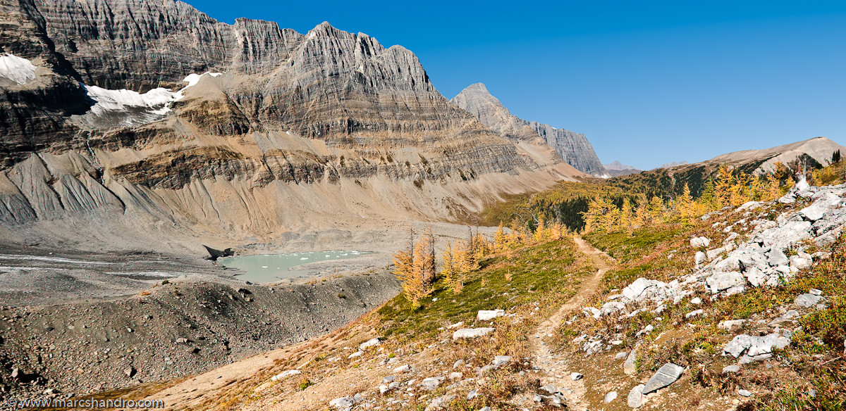
High Lake Behind The Rockwall
mountains sunrise hdr morainelake canadianrockies valleyofthetenpeaks wondersofnature
Turn around
canada alberta banffnationalpark morainelake valleyoftenpeaks cans2s
MORAINE LAKE IMGP6593