Elevation map of East Kootenay G, BC, Canada
Location: Canada > British Columbia > East Kootenay >
Longitude: -116.28032
Latitude: 50.8010461
Elevation: 832m / 2730feet
Barometric Pressure: 92KPa
Elevation Map:
Satellite Map:
Related Photos:

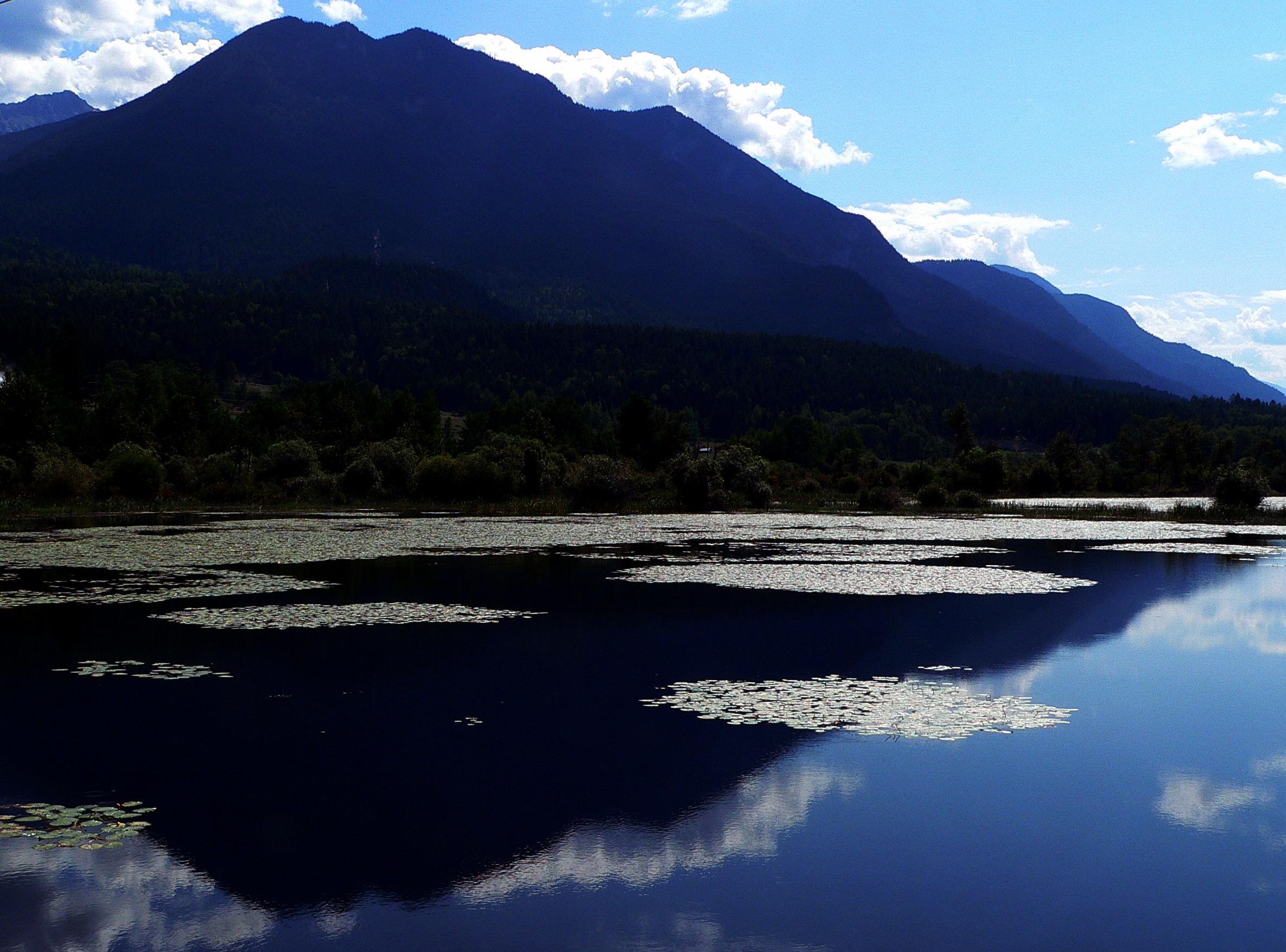
Vermillion at the Blue Hour
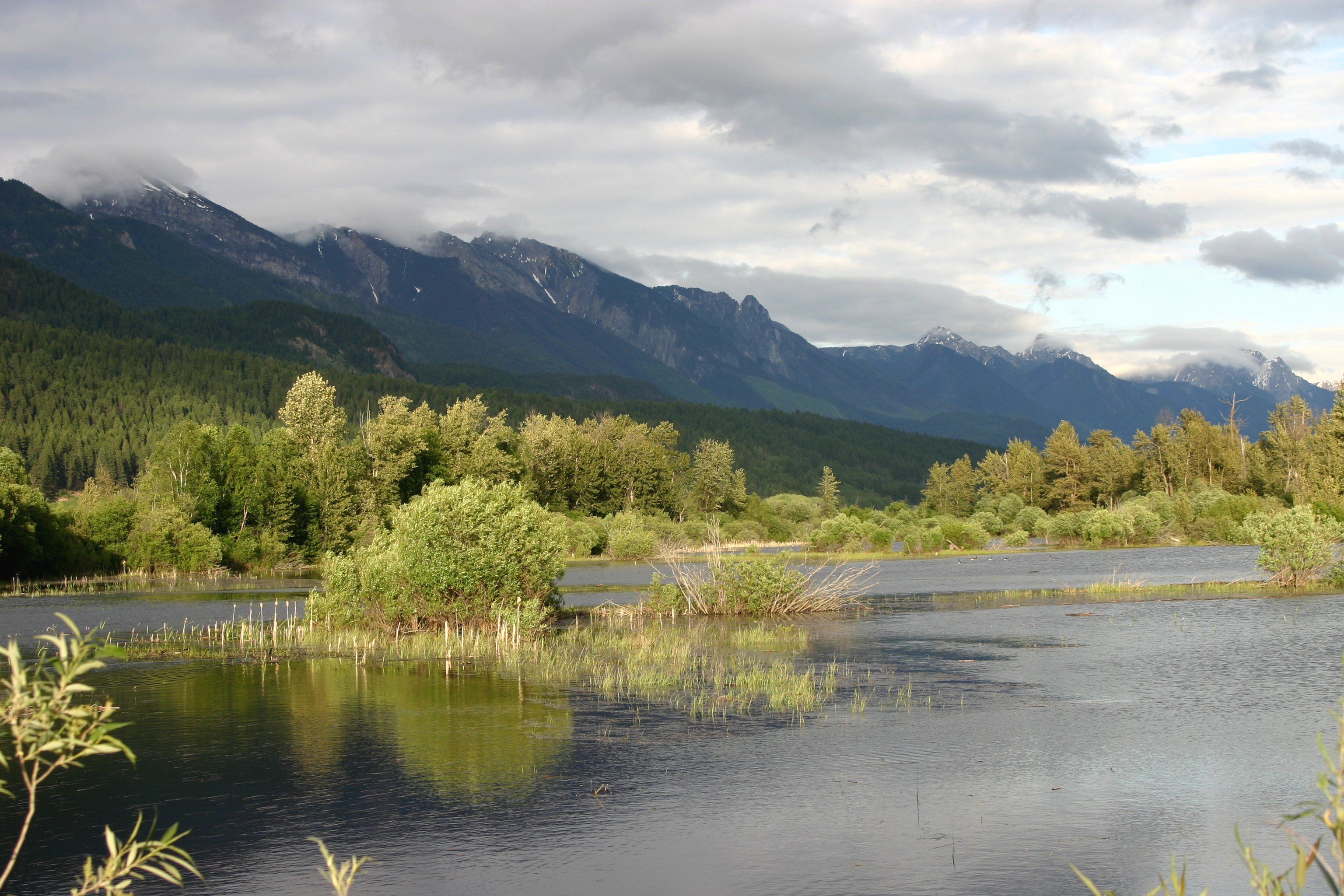
The stunning wetlands of Columbia River, Canada
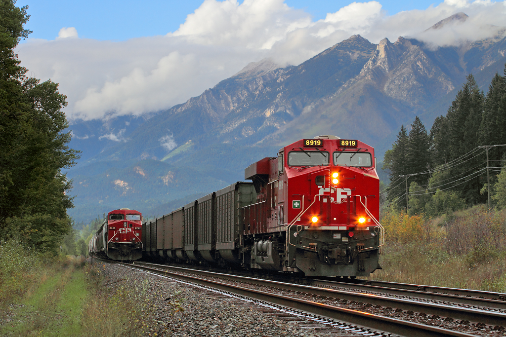
Spillimacheen meet
Golden To Radium Hot Springs 310
Roll On Columbia!
Columbia Icefield

Steam and Forest Shot #1023423-A

Hidden Falls

Cascading Canyon

Misty Waterfall
Topographic Map of East Kootenay G, BC, Canada
Find elevation by address:

Places in East Kootenay G, BC, Canada:
Brisco
Mount Shanks
Stanley Peak
Deltaform Mountain
Mount Allen
Chimney S1
Mount Whymper
Drysdale Ne4
Limestone Peak
Sinclair Sw4
Sinclair S5
Mount Oke
Bullin St, Athalmer, BC V0A 1A0, Canada
Tumbling Peak
Scarab Peak
Haiduk Peak
Rockwall Peak
Mount Tuzo
Vermilion Pass
Places near East Kootenay G, BC, Canada:
Brisco
British Columbia 95
Mount Norman
1551 Bc-95
1551 Bc-95
1551 Bc-95
BC-95, Spillimacheen, BC V0A 1P0, Canada
The Judge
Spillimacheen
Edgewater
5321 Hewitt Rd
Cedared Peak
Shyster Nw2
Shyster Peak
Mount Crook
Harrogate
Kindersley N4
Kindersley Nw1
Radium Elk Park B&b
Mount Berland
Recent Searches:
- Elevation of Corso Fratelli Cairoli, 35, Macerata MC, Italy
- Elevation of Tallevast Rd, Sarasota, FL, USA
- Elevation of 4th St E, Sonoma, CA, USA
- Elevation of Black Hollow Rd, Pennsdale, PA, USA
- Elevation of Oakland Ave, Williamsport, PA, USA
- Elevation of Pedrógão Grande, Portugal
- Elevation of Klee Dr, Martinsburg, WV, USA
- Elevation of Via Roma, Pieranica CR, Italy
- Elevation of Tavkvetili Mountain, Georgia
- Elevation of Hartfords Bluff Cir, Mt Pleasant, SC, USA