Elevation of Sinclair SW4, East Kootenay G, BC V0A, Canada
Location: Canada > British Columbia > East Kootenay > East Kootenay G >
Longitude: -115.95361
Latitude: 50.6130555
Elevation: 2414m / 7920feet
Barometric Pressure: 75KPa
Elevation Map:
Satellite Map:
Related Photos:
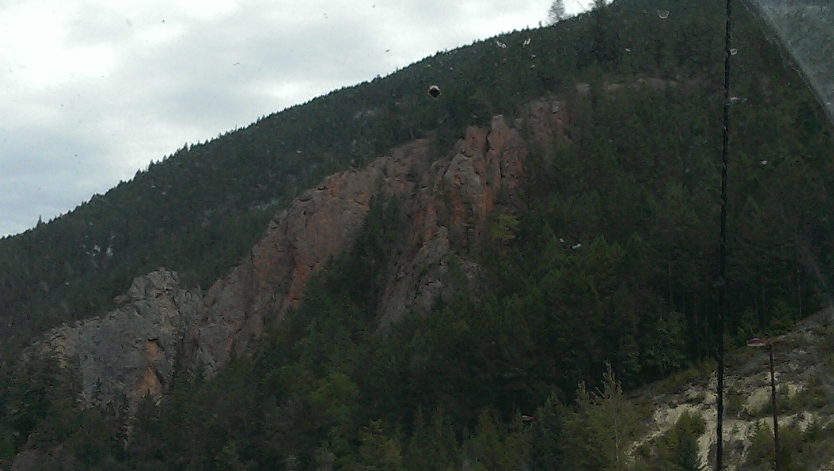
IMG_1821 (2)
IMG_1830 (2)

IMG_1891 (2)
IMG_1836 (2)
IMG_1844 (2)

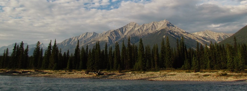
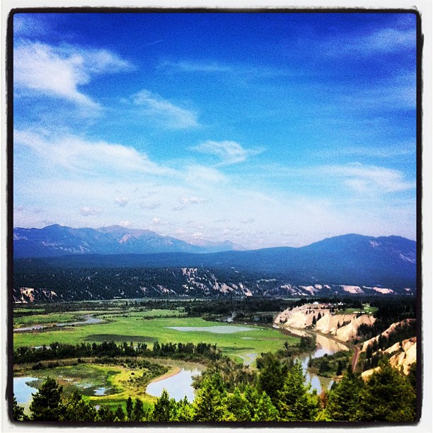
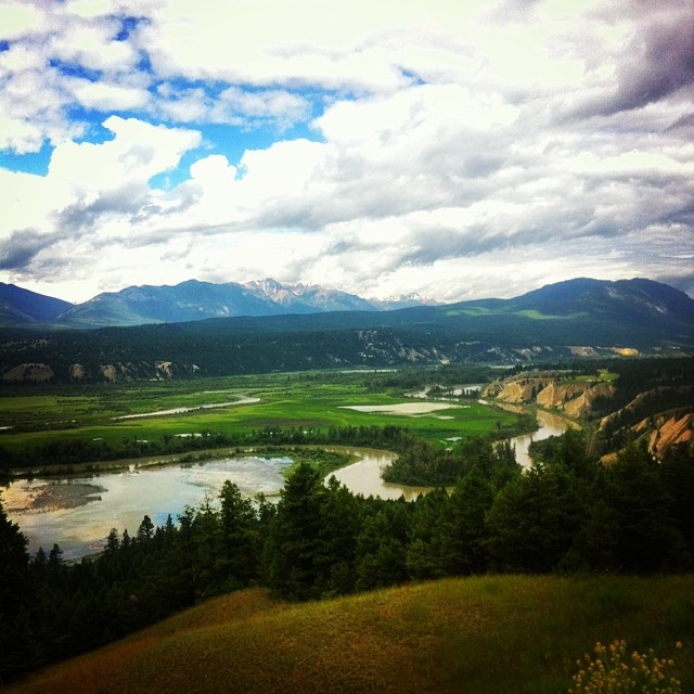
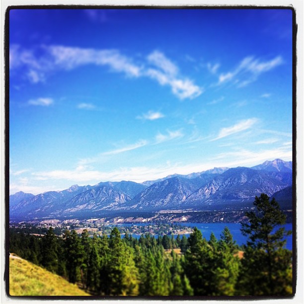
Columbia River Valley
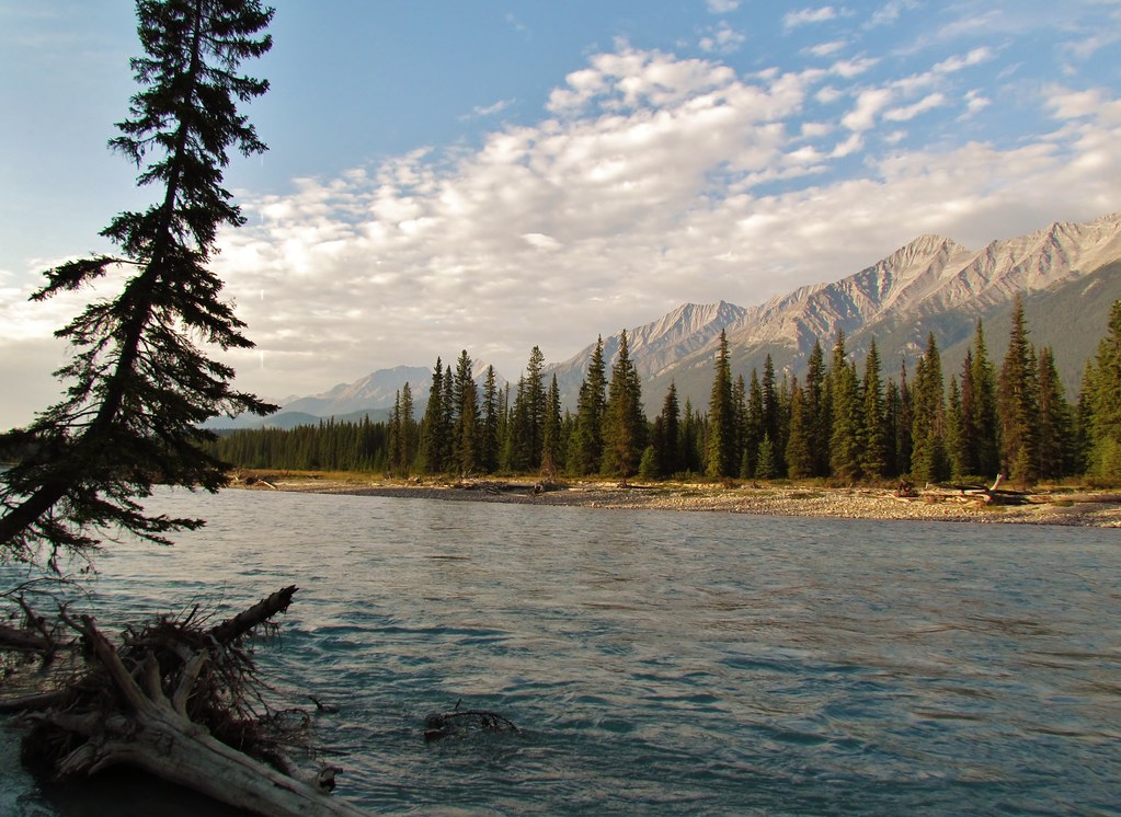
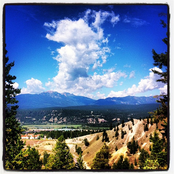
The view from my office this morning. #ilivewhereyouvacation
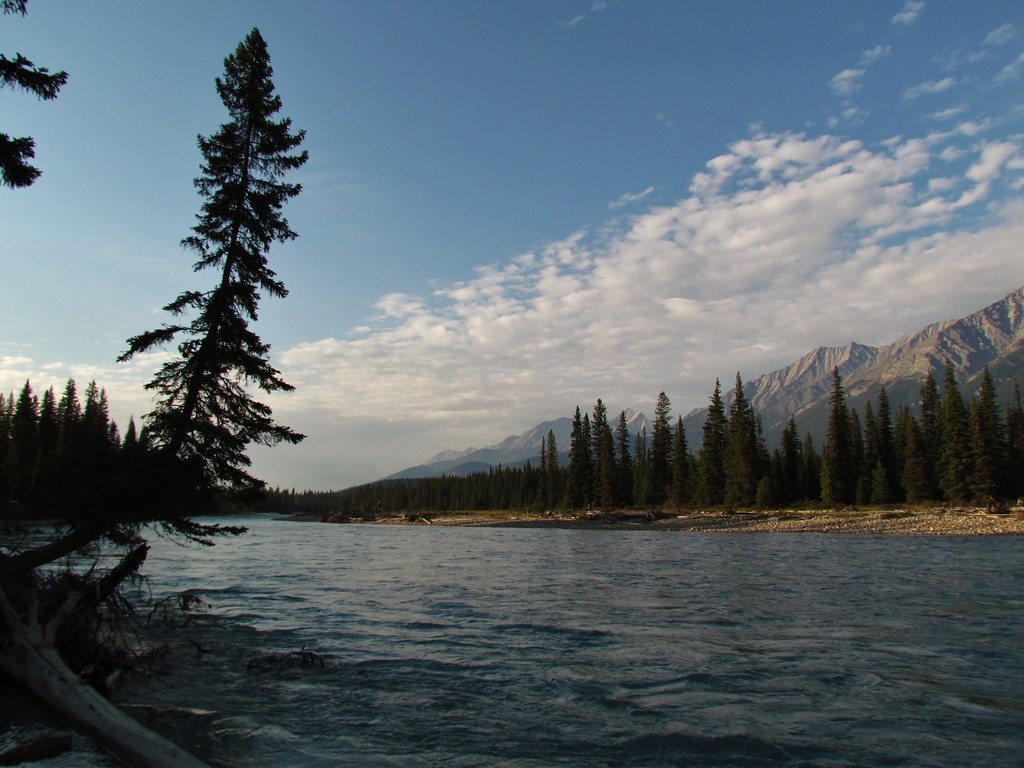
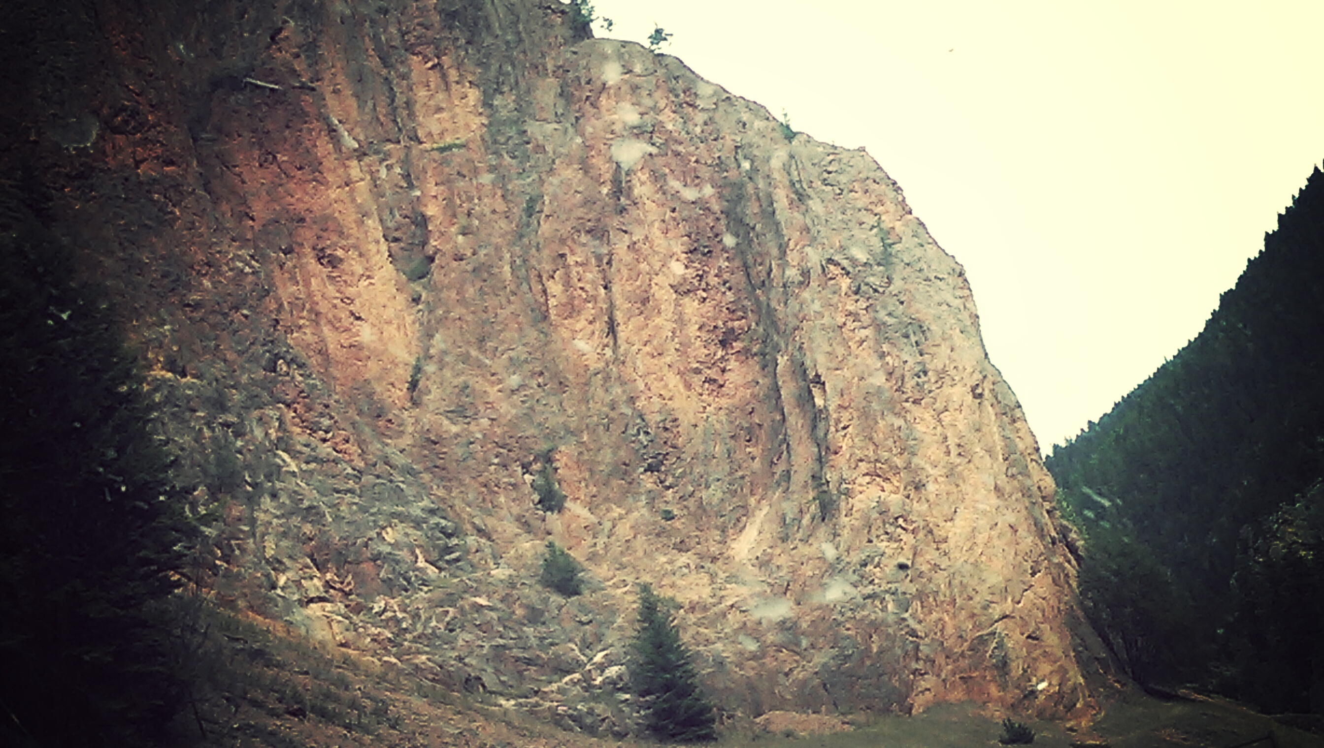
Across the River
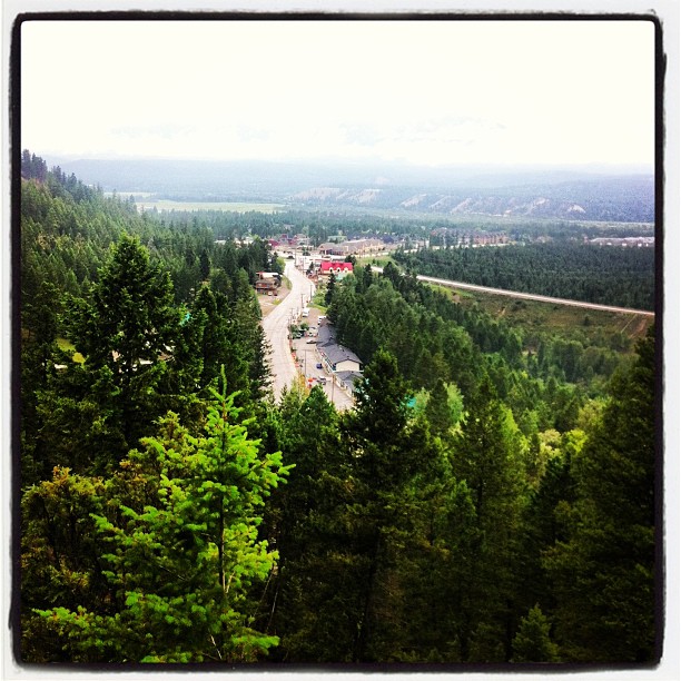
The view from my office today. #ilivewhereyouvacation
The view from my office this morning. #ilivewhereyouvacation
The view from my office this morning #ilivewhereyouvacation

The view from my office this afternoon. #thatsourcolumbiavalley
The view from my office this morning. #thatsourcolumbiavalley
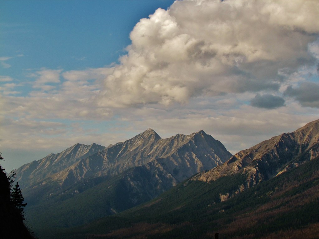
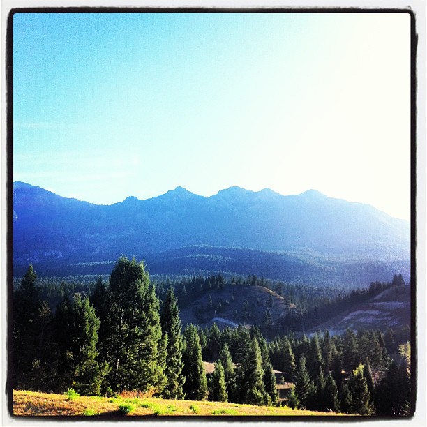
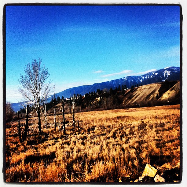
The Mountain View

Chalet on the Hill
The Mountain View
The Mountain View

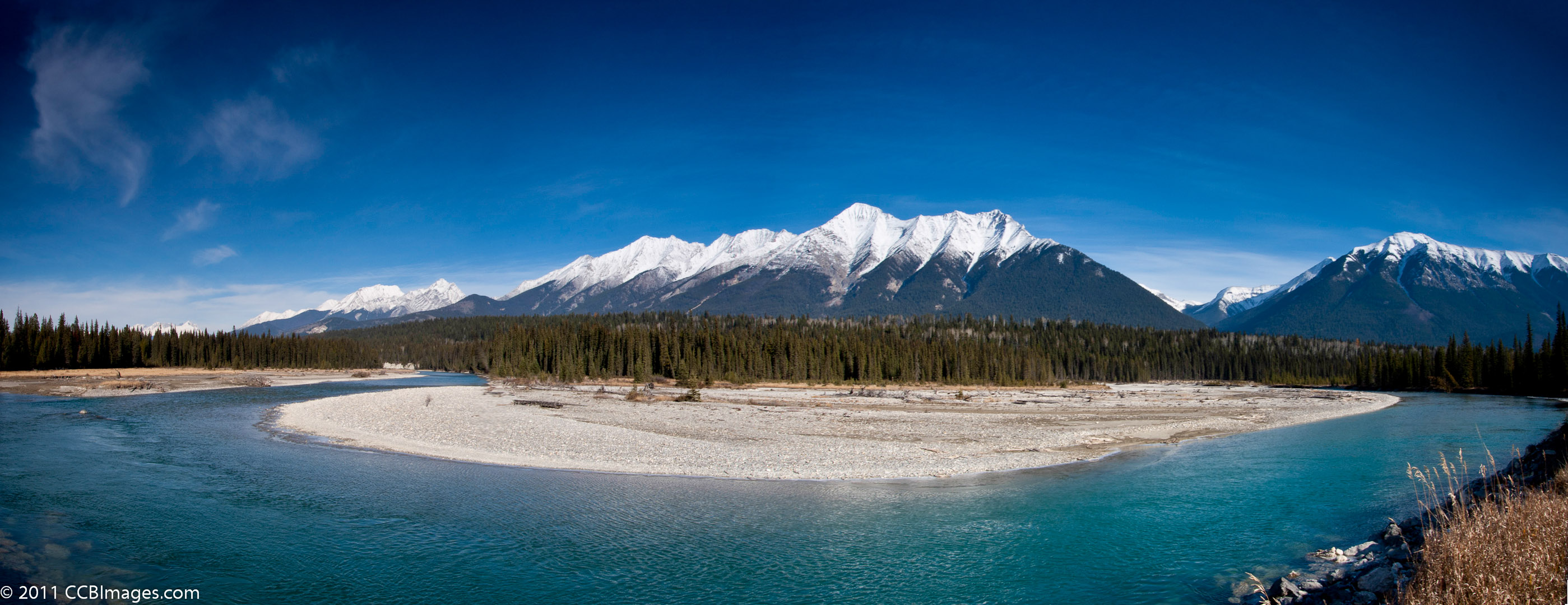
Rockies in Clouds
The view from my office this morning. #ilivewhereyouvacation
The view from my office this morning. #nice

The View from my office this morning #ilivewhereyouvacation
Topographic Map of Sinclair SW4, East Kootenay G, BC V0A, Canada
Find elevation by address:

Places near Sinclair SW4, East Kootenay G, BC V0A, Canada:
Sinclair S5
Kimpton Pass
Redstreak Mountain
Pinto Mountain
Mount Swansea Lookout Trail
548 Bc-93
Piebald Peak
4750 Lakehill Rd
Timber Ridge Road
4926 Timber Ridge Rd
1714 Windermere Loop Rd
Four Points Mountain
The Bench Road
Windermere
1893 Foxwood Trail
Mount Bryan
2243 Kootenay No 3 Rd
Tegart Peak
Aeneas N3
Recent Searches:
- Elevation of Corso Fratelli Cairoli, 35, Macerata MC, Italy
- Elevation of Tallevast Rd, Sarasota, FL, USA
- Elevation of 4th St E, Sonoma, CA, USA
- Elevation of Black Hollow Rd, Pennsdale, PA, USA
- Elevation of Oakland Ave, Williamsport, PA, USA
- Elevation of Pedrógão Grande, Portugal
- Elevation of Klee Dr, Martinsburg, WV, USA
- Elevation of Via Roma, Pieranica CR, Italy
- Elevation of Tavkvetili Mountain, Georgia
- Elevation of Hartfords Bluff Cir, Mt Pleasant, SC, USA