Elevation of Mount Goodsir, Columbia-Shuswap A, BC V0A, Canada
Location: Canada > British Columbia > Field >
Longitude: -116.39666
Latitude: 51.2016666
Elevation: 3460m / 11352feet
Barometric Pressure: 66KPa
Elevation Map:
Satellite Map:
Related Photos:
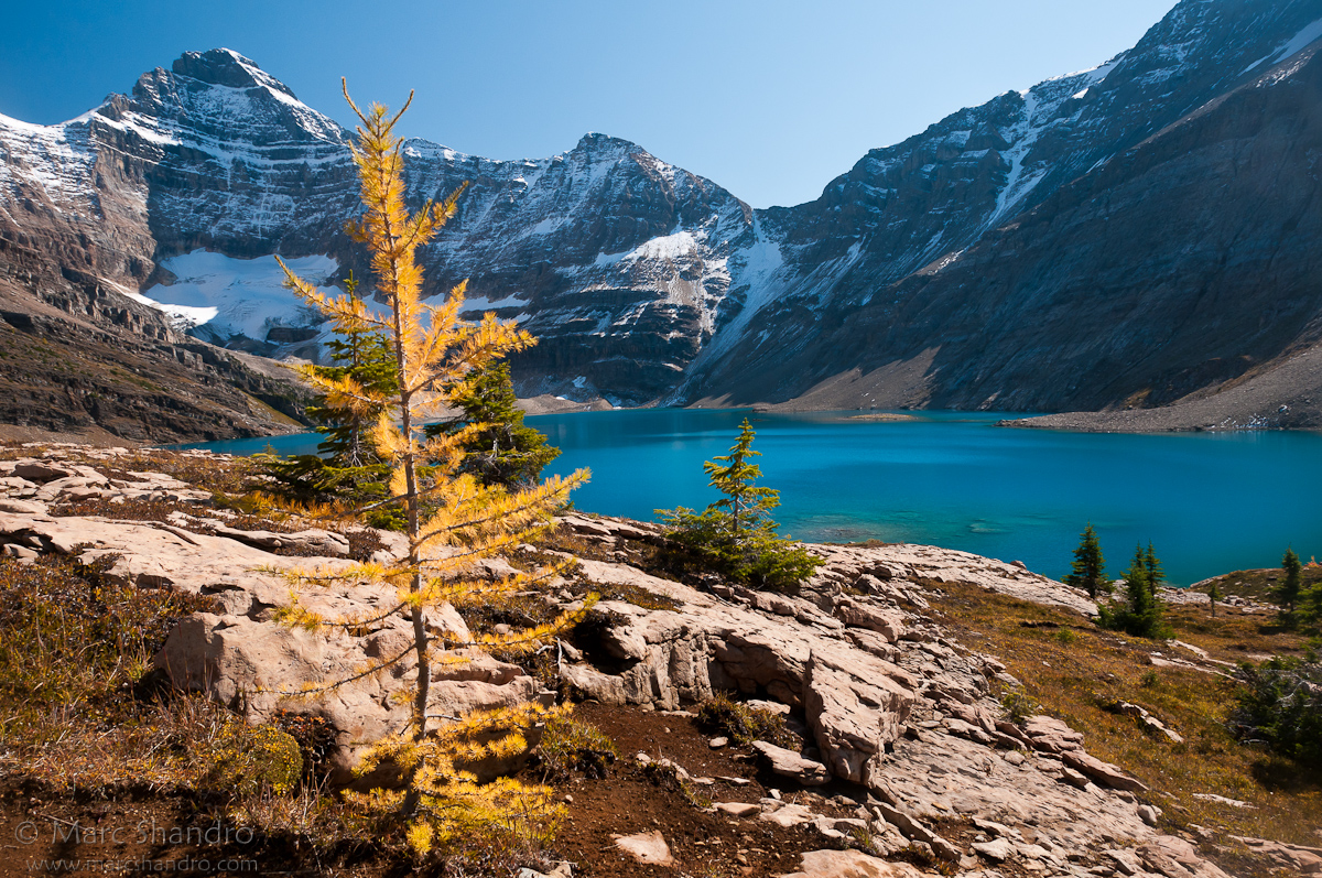
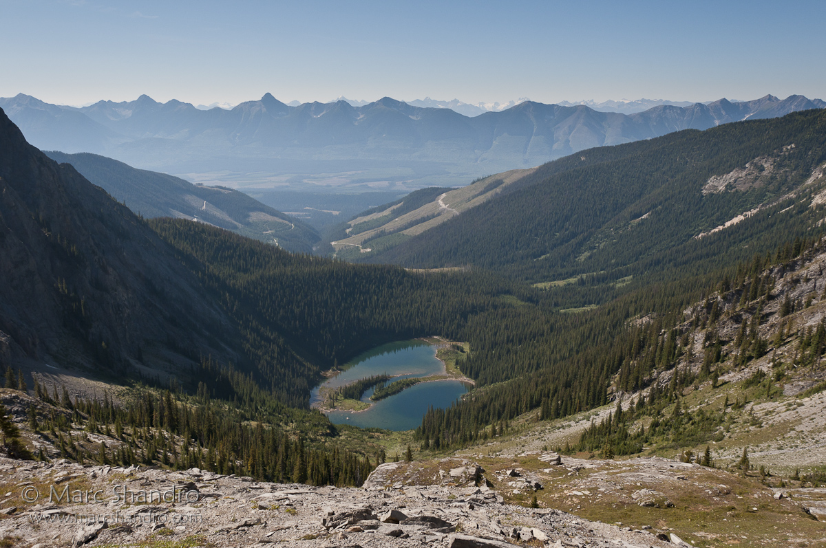
Autumn At McArthur Lake
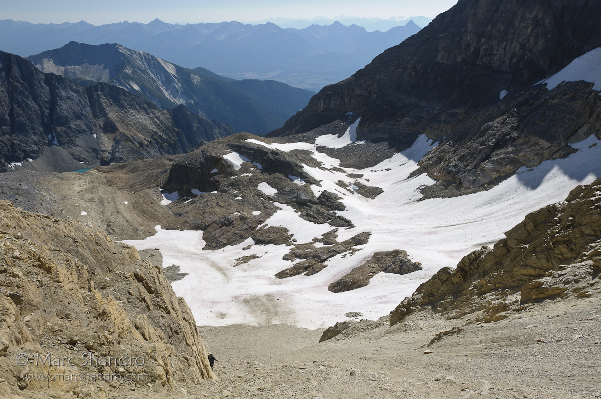
Exploring Near Mt. Gray and High Lake
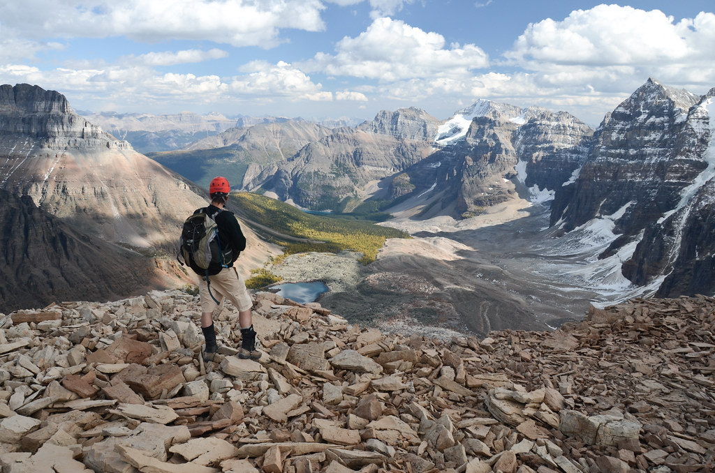
View from Wenkchemna Peak

View from Takakkaw Falls
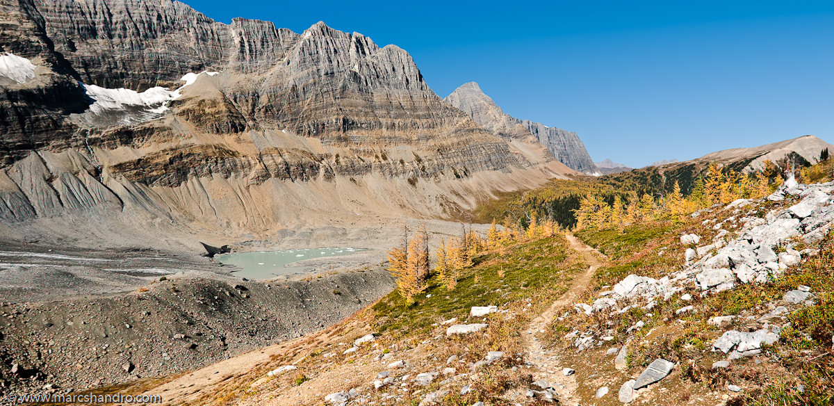
Tumbling Pass - Rockwall Trail

High Lake Behind The Rockwall

Exploration Above High Lake

Logging Road Camp
Dainard Lake
Topographic Map of Mount Goodsir, Columbia-Shuswap A, BC V0A, Canada
Find elevation by address:

Places near Mount Goodsir, Columbia-Shuswap A, BC V0A, Canada:
Sentry Peak
Goodsir North Tower
Zinc Mountain
Martins Peak
Sharp Mountain
Helmet Mountain
Hanbury Peak
Garnet Mountain
Limestone Peak
Butwell Peak
Allan Peak
Chancellor Peak
Mount Owen
Mount Ennis
Rockwall Peak
Mount Oke
Park Mountain
Mcarthur, Lake
Curtis Peak
Drysdale Ne4
Recent Searches:
- Elevation of Corso Fratelli Cairoli, 35, Macerata MC, Italy
- Elevation of Tallevast Rd, Sarasota, FL, USA
- Elevation of 4th St E, Sonoma, CA, USA
- Elevation of Black Hollow Rd, Pennsdale, PA, USA
- Elevation of Oakland Ave, Williamsport, PA, USA
- Elevation of Pedrógão Grande, Portugal
- Elevation of Klee Dr, Martinsburg, WV, USA
- Elevation of Via Roma, Pieranica CR, Italy
- Elevation of Tavkvetili Mountain, Georgia
- Elevation of Hartfords Bluff Cir, Mt Pleasant, SC, USA