Elevation of Tulbagh, South Africa
Location: South Africa > Western Cape > Cape Winelands > Ceres >
Longitude: 19.1434108
Latitude: -33.287222
Elevation: 168m / 551feet
Barometric Pressure: 99KPa
Elevation Map:
Satellite Map:
Related Photos:
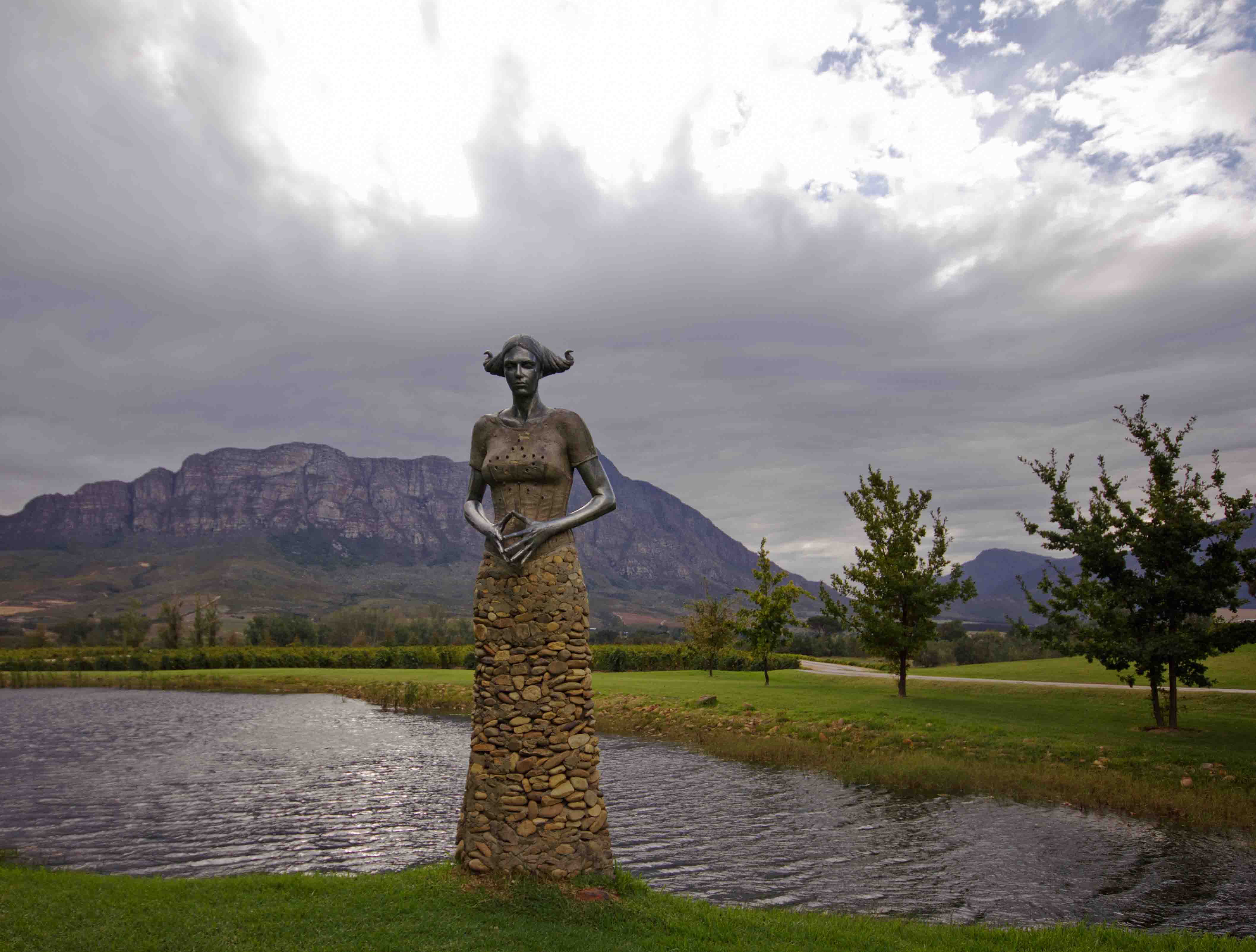
The Lady of the Lake
Rainy Day Weather
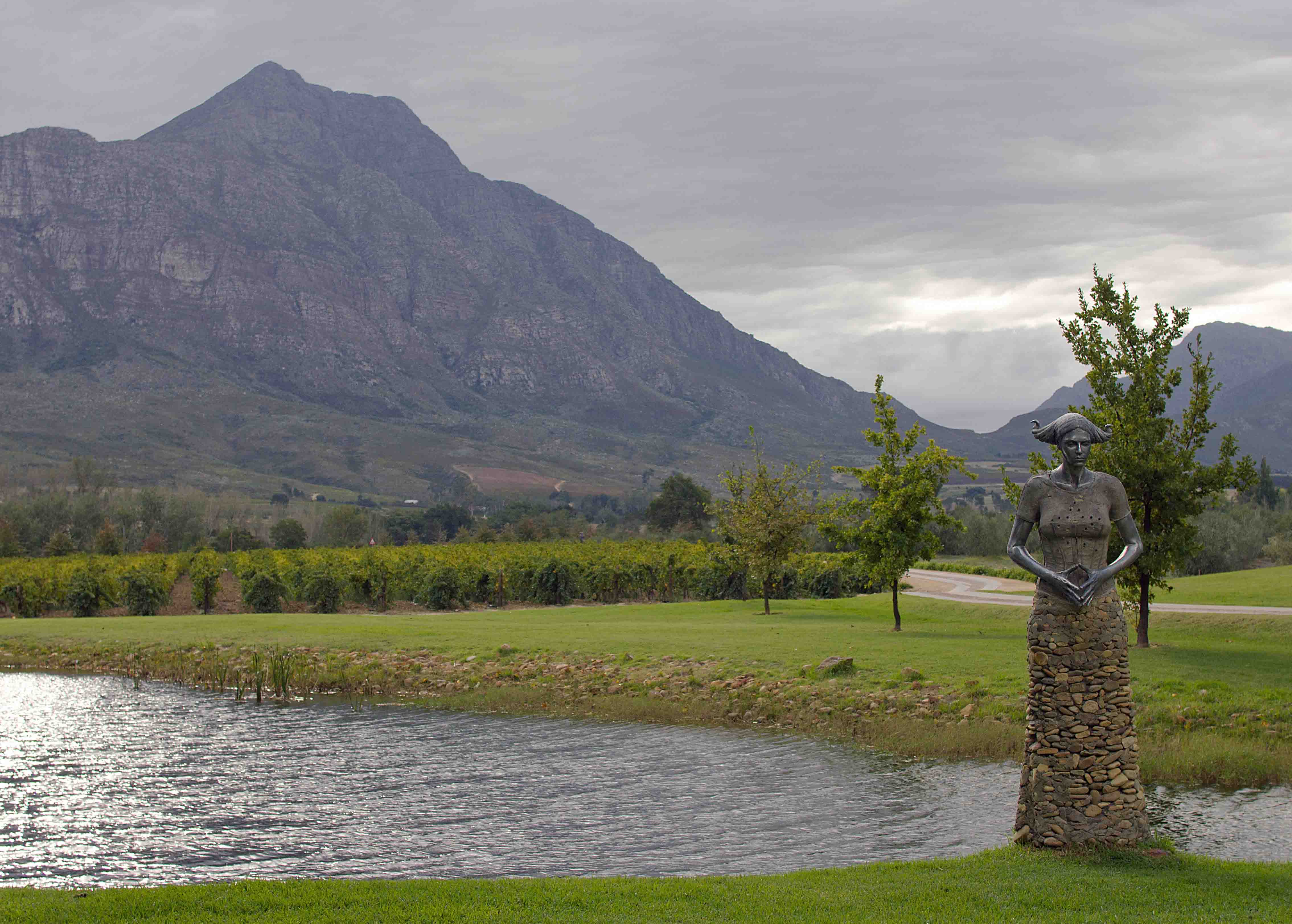
The Lady of the Lake
Ceres, South Africa : Early Morning sun, view from Cottage stoep : Fairfield Mountain Cottages

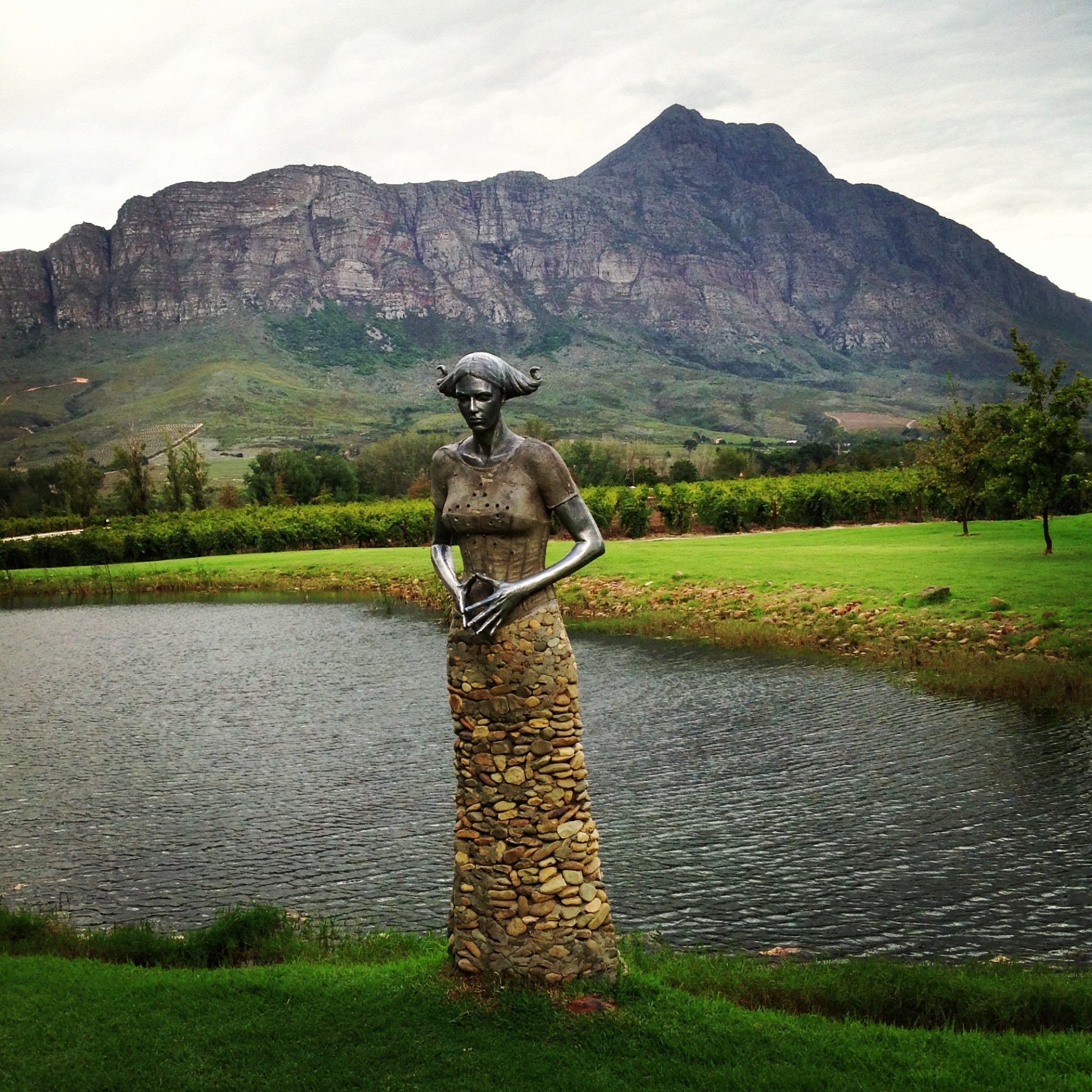
The Lady of the Lake
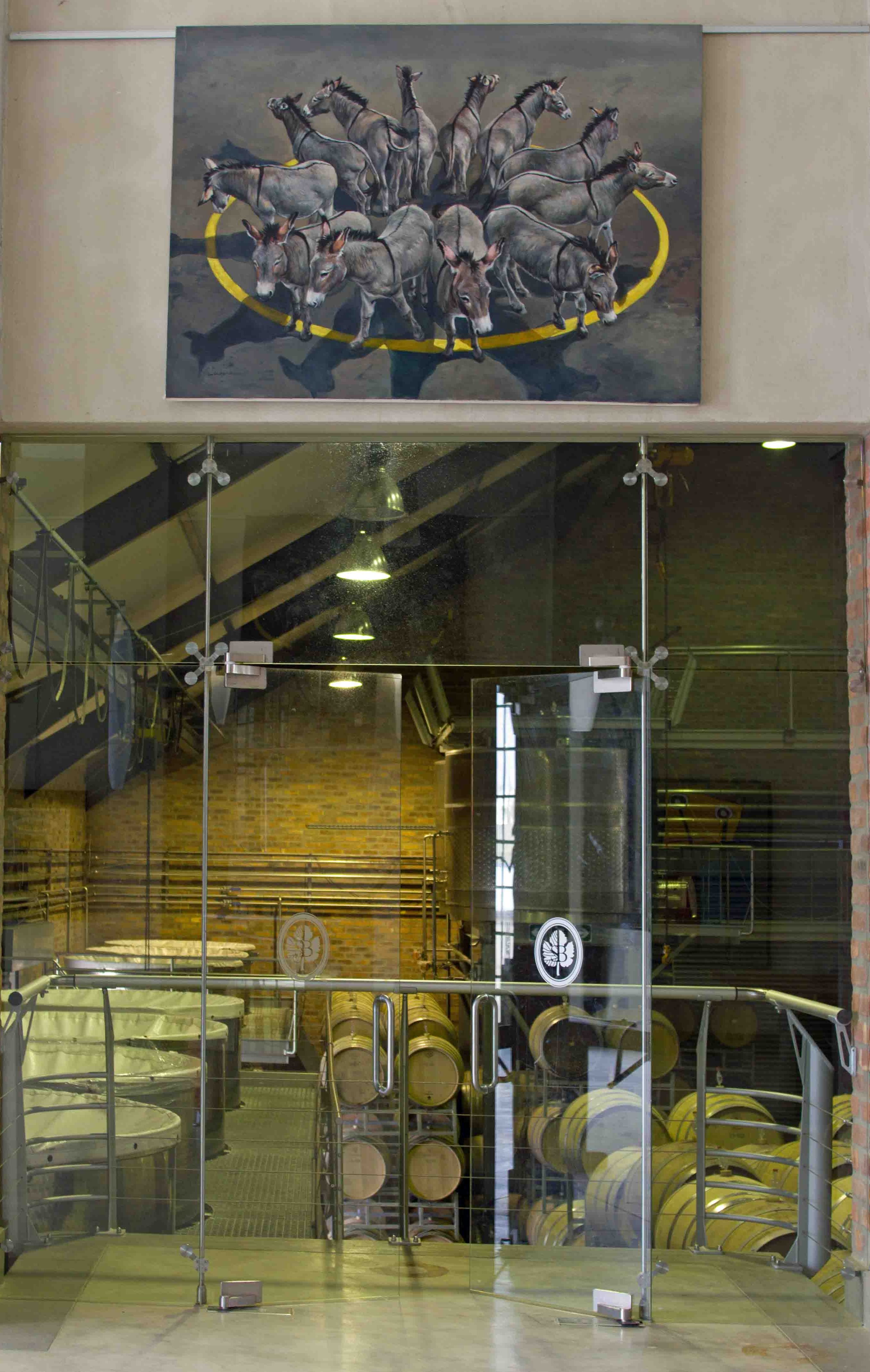
Donkeys of Saronsberg
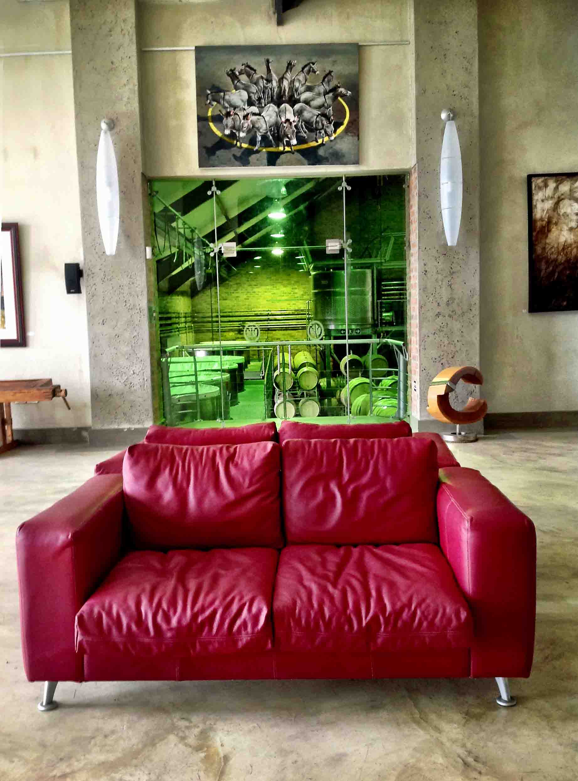
The Red Couch
In the Rain

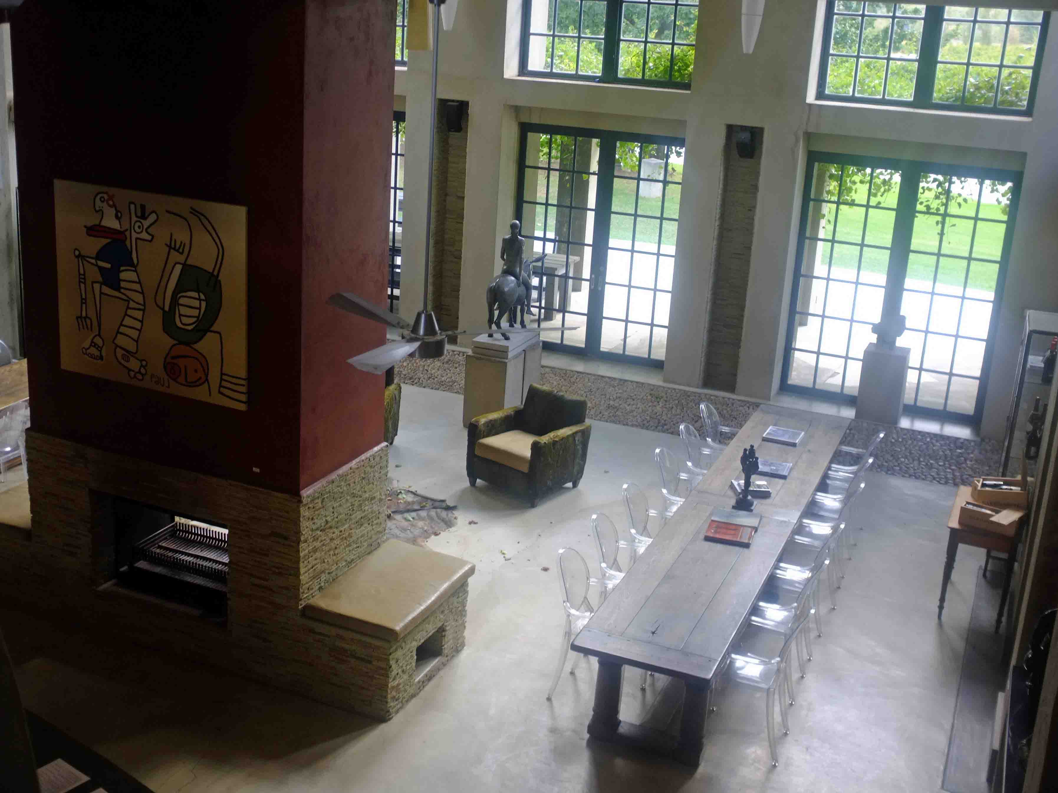
Company Planning Session near Tulbach
Church Street, Tulbagh

#tulbagh #raptorrise
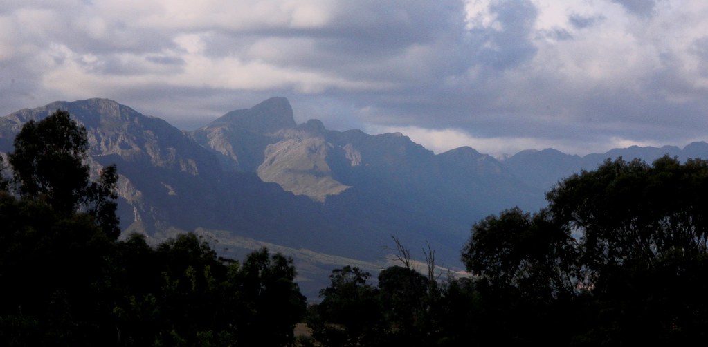
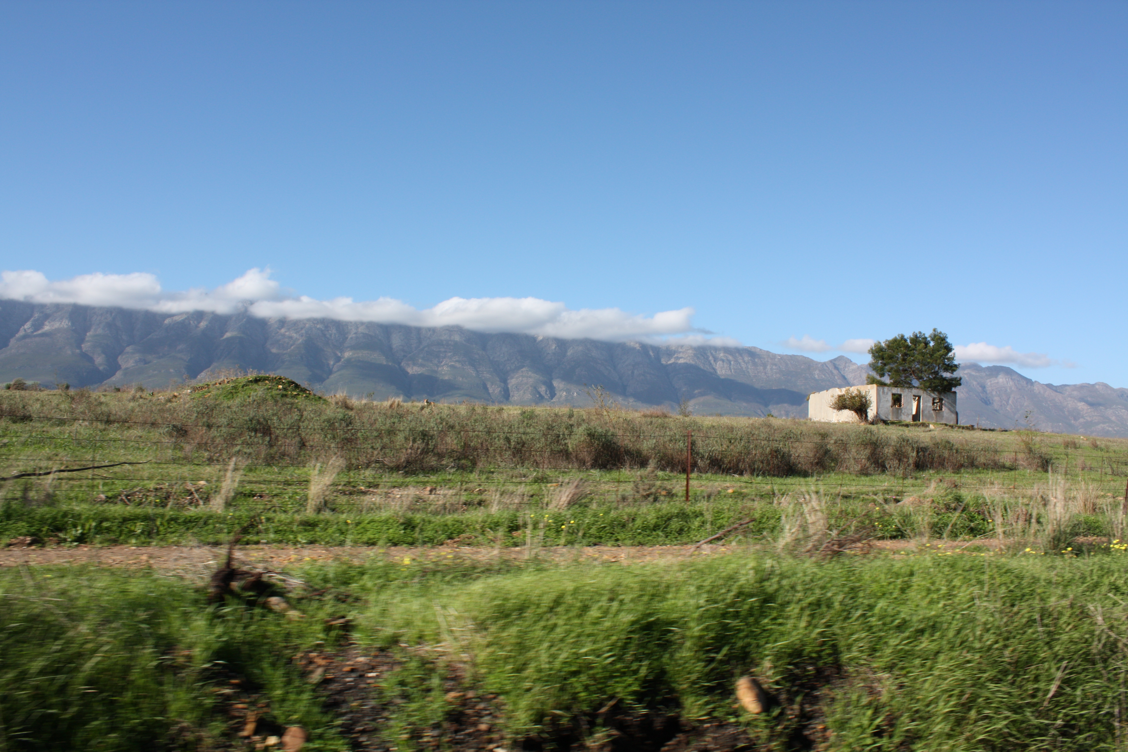
Near Tulbagh
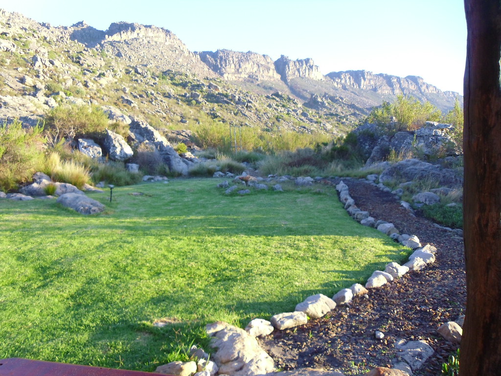
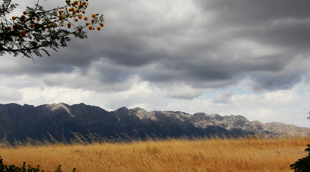
Winterhoek Mountains, overlooking Tulbagh

Sasonsberg pond
Last Morning at Guinevere Guest Farm in Tulbagh. Gonna miss this place. Thanks to Carly and William for an excellent time!
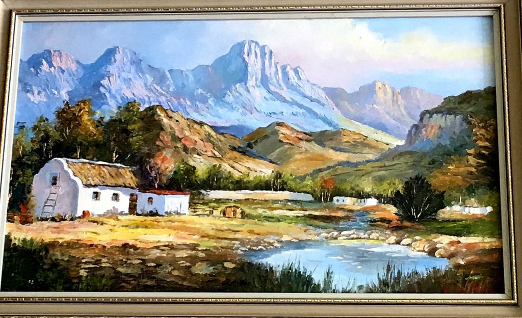
"Things I Love" Art
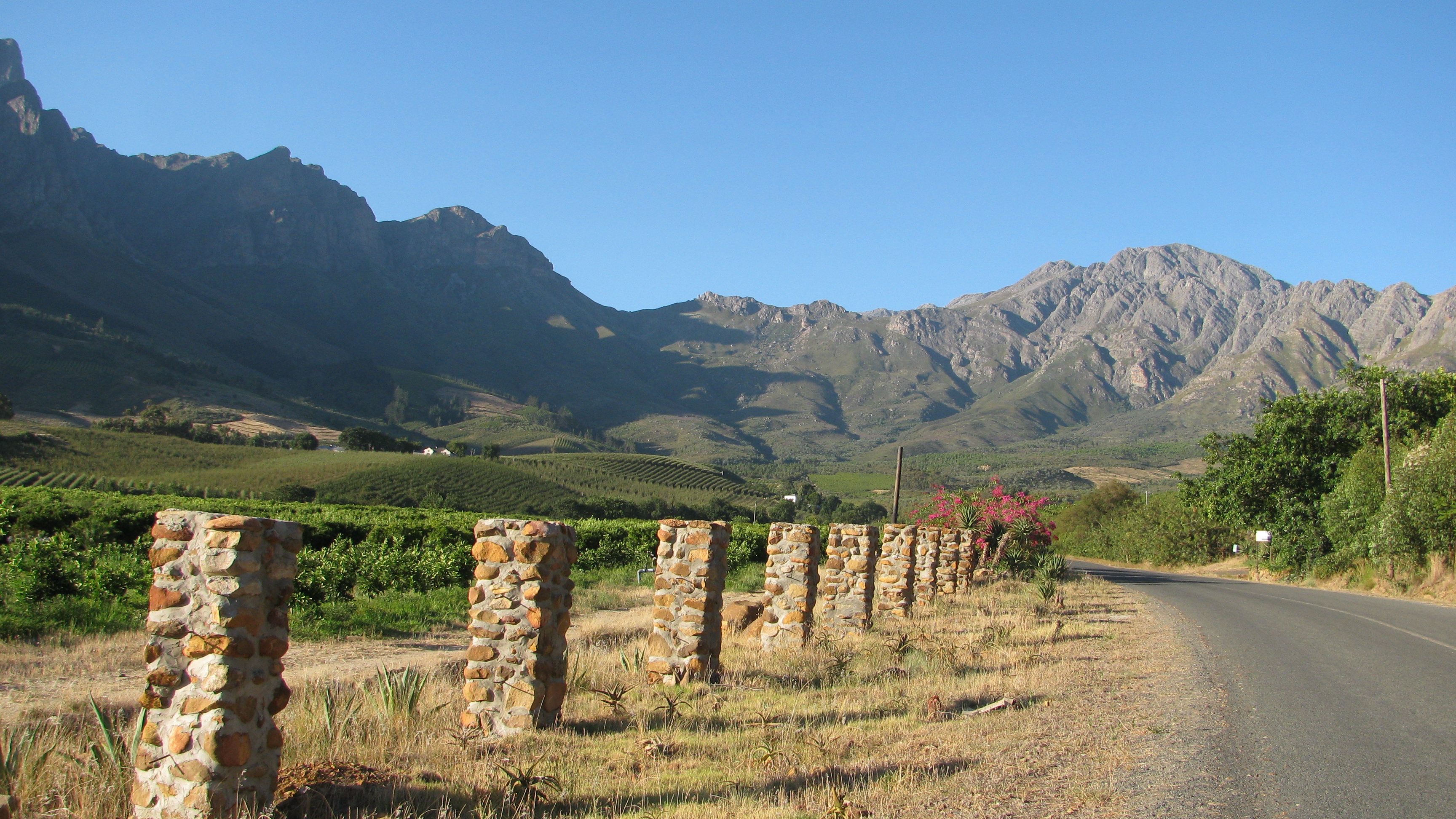
Tulbagh winelands
Ghost Riders #absacapeepic
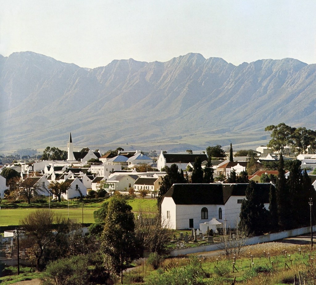
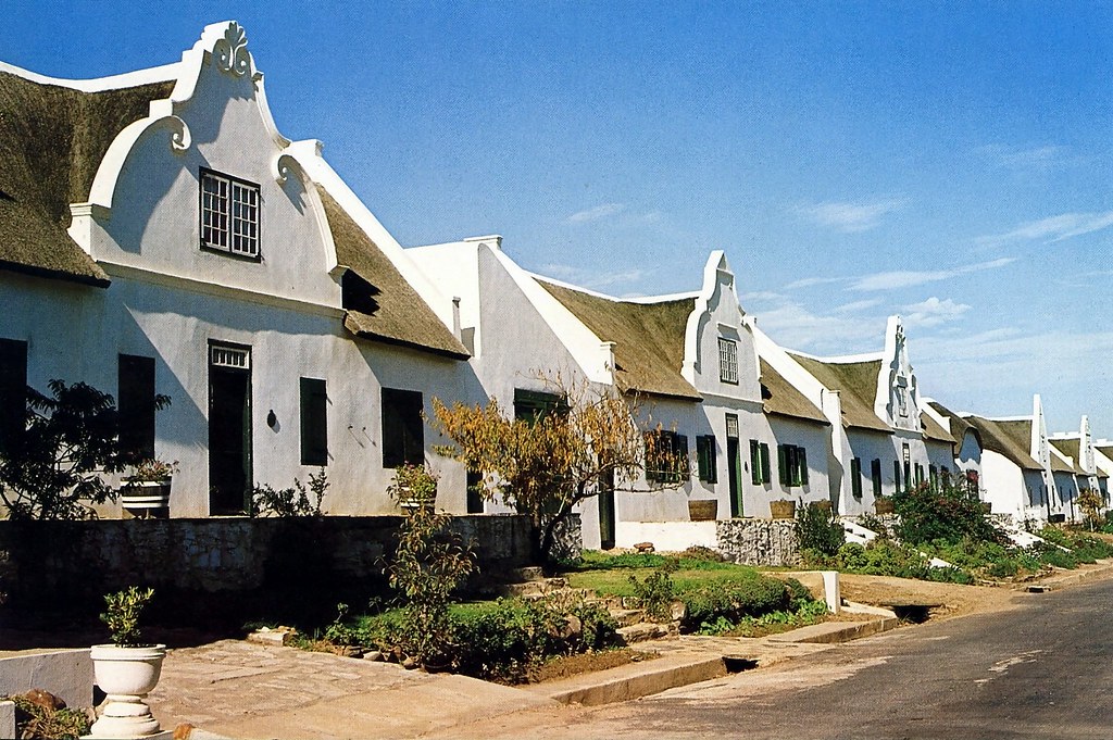
The town of Tulbagh
IMG_1984-01.jpg

Nuwekloof Mountain Pass - Old Road detail
IMG_5252.JPG

Nuwekloof Mountain Pass - Old and New Roads

Nuwekloof Mountain Pass - old supporting walls

Nuwekloof Mountain Pass - Old Road

Definitely gonna try come spend more time at this spot Bontebok Ridge #PrivateReserve #Afrika #Camping
Topographic Map of Tulbagh, South Africa
Find elevation by address:

Places near Tulbagh, South Africa:
Ceres
1783 Merindal St
Groenrivier Function Centre
Malmesbury
Fonteine Village Retirement Complex
Langgewens Research Farm
Mountain Mill Drive
Fynbos Estate
Malmesbury Golf Club
Mount Royal Golf & Country Estate
Malmesbury
Moolman
Paarl
Worcester
Marksman's Nest Firearms Training Centre & Shooting Range
Moorreesburg
Breede Valley Municipality
Kalbaskraal
Groenerivier Estate
Bergrivier Municipality
Recent Searches:
- Elevation of Corso Fratelli Cairoli, 35, Macerata MC, Italy
- Elevation of Tallevast Rd, Sarasota, FL, USA
- Elevation of 4th St E, Sonoma, CA, USA
- Elevation of Black Hollow Rd, Pennsdale, PA, USA
- Elevation of Oakland Ave, Williamsport, PA, USA
- Elevation of Pedrógão Grande, Portugal
- Elevation of Klee Dr, Martinsburg, WV, USA
- Elevation of Via Roma, Pieranica CR, Italy
- Elevation of Tavkvetili Mountain, Georgia
- Elevation of Hartfords Bluff Cir, Mt Pleasant, SC, USA