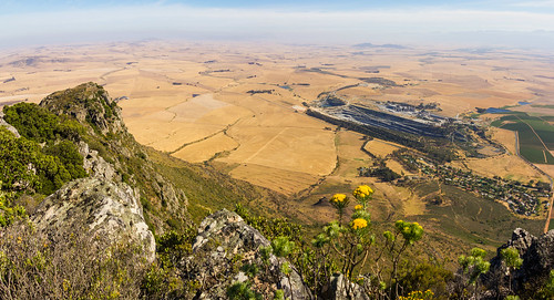
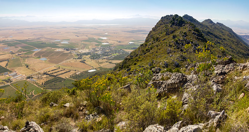
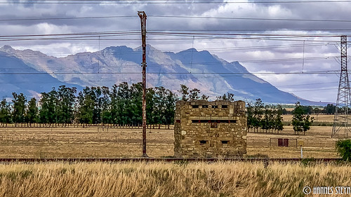
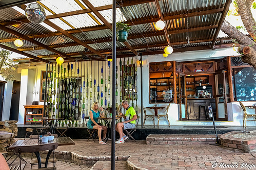
Elevation of Merindal St, Riebeeck West, South Africa
Location: South Africa > Western Cape > West Coast Dc >
Longitude: 18.8777092
Latitude: -33.349830
Elevation: 163m / 535feet
Barometric Pressure: 99KPa
Related Photos:
Topographic Map of Merindal St, Riebeeck West, South Africa
Find elevation by address:

Places near Merindal St, Riebeeck West, South Africa:
Groenrivier Function Centre
Malmesbury
Fonteine Village Retirement Complex
Malmesbury Golf Club
Langgewens Research Farm
Mount Royal Golf & Country Estate
Malmesbury
Fynbos Estate
Marksman's Nest Firearms Training Centre & Shooting Range
Tulbagh
Moorreesburg
Kalbaskraal
Groenerivier Estate
Moolman
Paarl
Ceres
Dassenberg Drive
Januarieskraal
Cape Farms
Piet My Vrou Road
Recent Searches:
- Elevation of Corso Fratelli Cairoli, 35, Macerata MC, Italy
- Elevation of Tallevast Rd, Sarasota, FL, USA
- Elevation of 4th St E, Sonoma, CA, USA
- Elevation of Black Hollow Rd, Pennsdale, PA, USA
- Elevation of Oakland Ave, Williamsport, PA, USA
- Elevation of Pedrógão Grande, Portugal
- Elevation of Klee Dr, Martinsburg, WV, USA
- Elevation of Via Roma, Pieranica CR, Italy
- Elevation of Tavkvetili Mountain, Georgia
- Elevation of Hartfords Bluff Cir, Mt Pleasant, SC, USA
